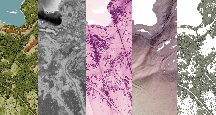
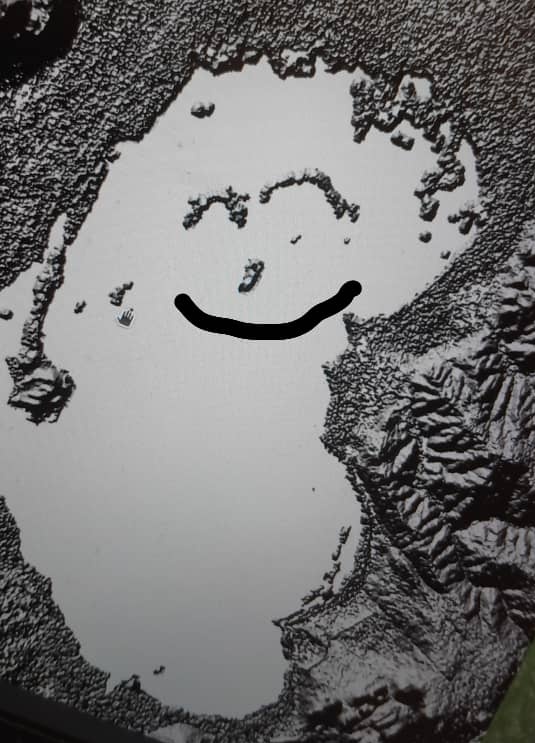
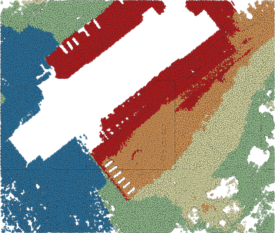
@ChisuwoChimango will be showcasing how to remove mineral data blindspots on the 27th of August 2026 during the @KenChamberMines live webinar.
Sign up to to get access:
https://t.co/XNZfw0e6T2
Take a look at 808 Strata:
https://t.co/5us6HZvSTA
Still recording stockpile tonnages without cryptographically signed audit trails and paying unjustifiable royalties?
Visit https://t.co/FbRdGGhfej and find out how we can improve your mineral intelligence.
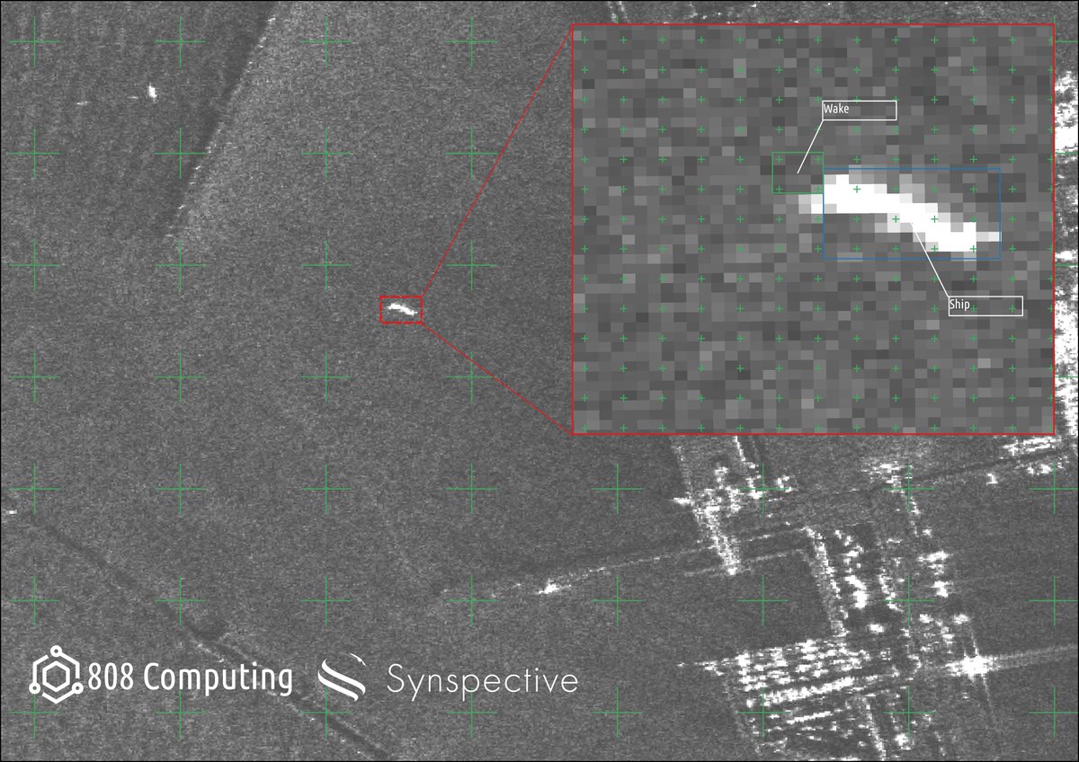
Synthetic Aperture Radar image of the coast of Hachiro Lagoon Japan. Taken by @synspective Strix Satellite & mapped by @808Computing
The inset shows the segmented ship and trailing wake which can help infer ship direction
Links:
https://t.co/9uxE4SoyyQ
https://t.co/4ggdnsstAV
A Koordinates data portal adapts to your workflows. The dynamic UI lets you focus on the browser, map, table or a single feature. Explore today at https://t.co/cnx0Nc6ozR
#Geospatial#GIS#Data
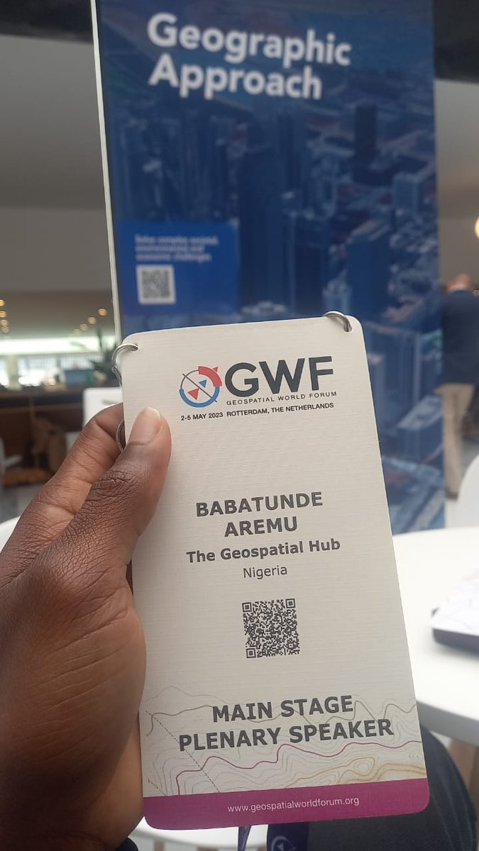
It all still seems surreal to me; attending and speaking at the @geoworldmedia conference, the invaluable knowledge gained listening to industry leaders speak, and the connections I have made. I feel super proud of myself and @TheGeoSpatialH1#gischat#geospatial
It builds upon #ipywidgets and supports bidirectional communication between the frontend and backend. No other Python-based web app frameworks has native support for ipywidgets except Solara. The closest one would be Voila, but Solara is much better than Voila.
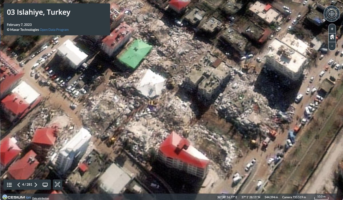
Congratulations to @hwtnv, one of the first recipients of Cesium Ecosystem Grants, a $1M fund to advance the #3D#geospatial ecosystem.
Learn more about this group of recipients and apply: https://t.co/c0kq3S6jaL
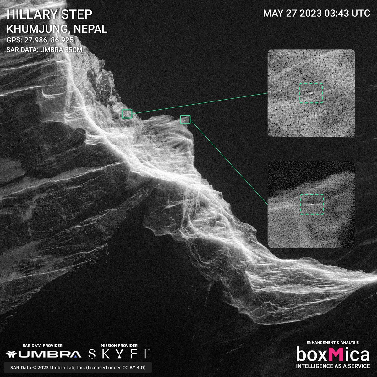
We are working with @umbraspace & @SkyfiApp to help locate the missing climbers on Mt. Everest. We're currently differentiating manmade objects from the snow & rocks to detect human activity. We could use your help to find the missing climbers!