Hi. I regularly get asked for free training sessions & workshops and love sharing research skills, so I've made these tutorials on YouTube with more coming. I hope it helps.
Here is the #OSINT At Home playlist: https://t.co/faJEPGT1j0
This video is a snippet of the content ✌️
Satellite maps can hide a lot. A fake forest covers a military base in Russia, another covers a government area in South Korea.
So I published a video on the free tools you can use to check edits and trust satellite imagery. Link below 👇
The video filmed from the school in Tupche is a very sad instance. The scale of the flood came in at such a force that it wiped out most of the community.
The @vantortech imagery of before and after shows it very clear.
Location: 27.967984, 85.180713
नेपाल त��रासदी का वो वीडियो जो पहले सोशल मीडिया पर अपलोड नहीं हुआ था ।
कल एक मीडिया पोर्टल Nepal7 द्वारा सोशल मीडिया पेज पर अपलोड किया गया है कैसे कुछ मिनट��� में सब कुछ तबाह हुआ इस वीडियो में देखे खौफनाक मंजर।
Footage was filmed from the Uttar Gaya Secondary School (उत्तर गया माध्यमिक विद्यालय) of the flood going through the Tupche (टुप्चे) area in Nepal.
Geolocation: 27.967984, 85.180713
नेपाल त��रासदी का वो वीडियो जो पहले सोशल मीडिया पर अपलोड नहीं हुआ था ।
कल एक मीडिया पोर्टल Nepal7 द्वारा सोशल मीडिया पेज पर अपलोड किया गया है कैसे कुछ मिनट��� में सब कुछ तबाह हुआ इस वीडियो में देखे खौफनाक मंजर।
Here's the link to the OSINT Field Notes newsletter, where these are discussed in detail, including the analysis involved, techniques on using them and more on using technology during disasters.
https://t.co/UppEj6Zq7z
I've just published this month's edition of OSINT Field Notes. The focus is on how tech supports disaster situations, especially after the horrible Nepal floods.
Here's 10 interesting links worth checking out if you're interested in open source analysis during disasters 👇
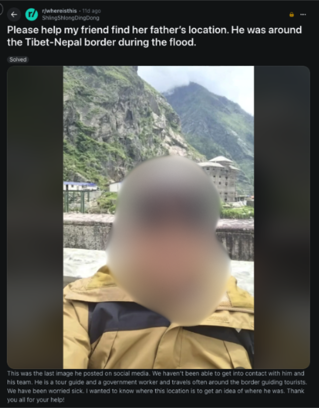
10. Not necessarily a tool, but more a story from @reddit's 'whereisthis', where someone posted an image of a tour guide from Nepal, trying to help their friend identify their last known whereabouts. The community identified the location shortly after.
https://t.co/ua2cQTwT6Z
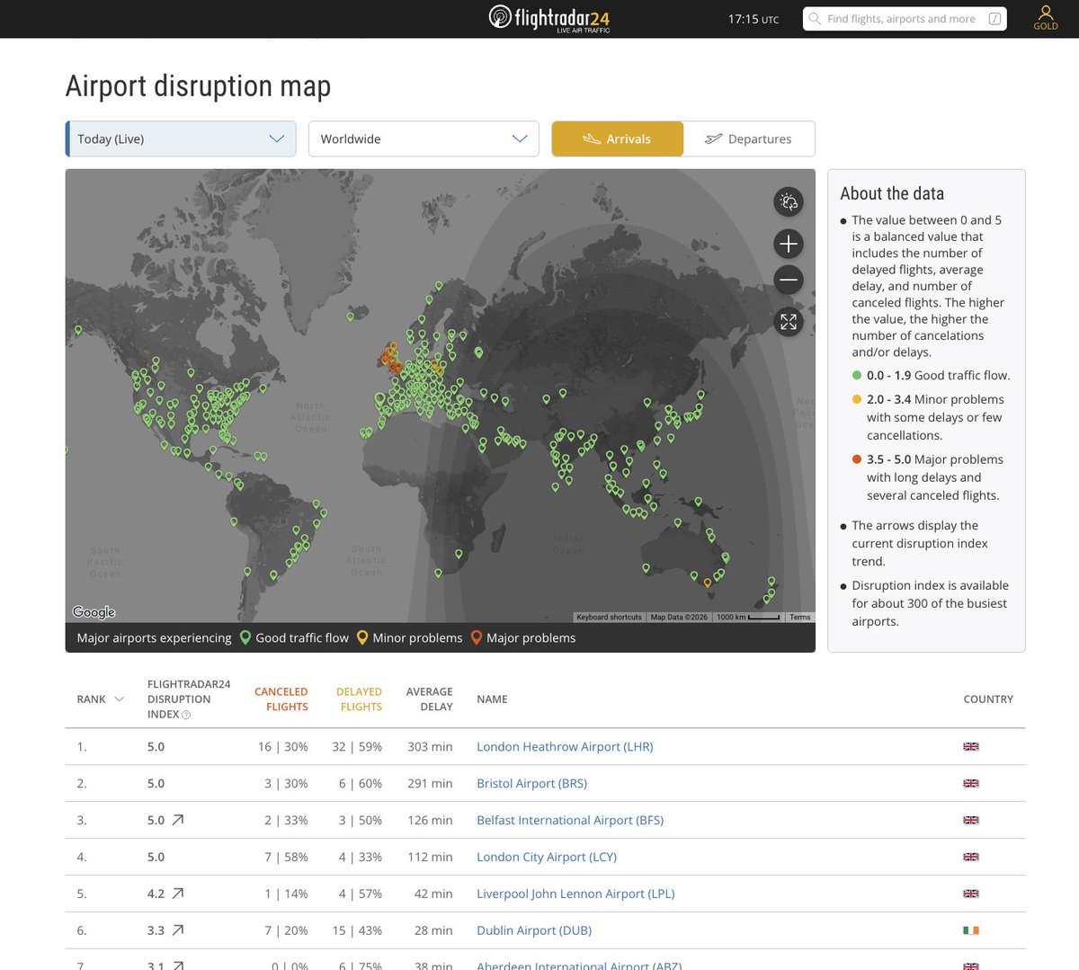
London Heathrow Airport is currently ranked #1 most disrupted airport in the world on @flightradar24. Almost no traffic over London right now after air traffic control issue.