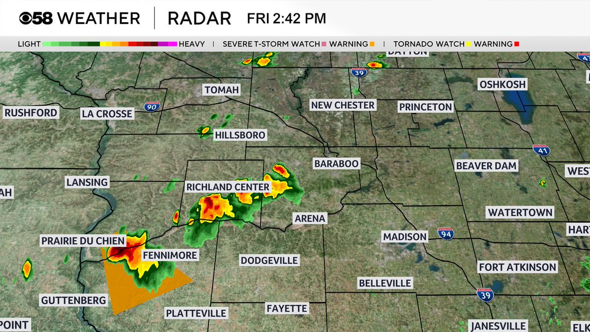
Sunshine has returned in western Wisconsin. Storms along the front have popped nicely. We will expect more storms in our area later this evening as the front comes through.
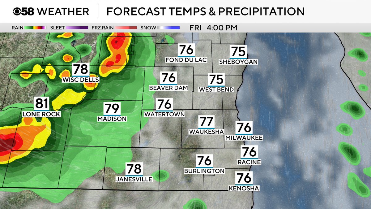
Still some lingering showers and a few rumbles of thunder out there. We expect more storms to pop early this evening as the cold front arrives from the northwest.
SPC has shifted the majority of the slight risk across northern Il. Ingredients will be maximized there for strong to severe storms. Still can’t rule out isolated severe storms in our area later today.
Right now there’s a weakening line of storms that continues to move southeast. Once these storms move through, it will lay down and outflow boundary. That will be the focus for more storms late this afternoon into the evening. The SPC has our area under a slight risk!
Two rounds of showers and storms are possible on Friday. The first round will be tomorrow morning; however, that won’t be severe. If sunshine can return to produce some instability, another round could develop during the late afternoon and evening with hail and gusty winds.