To ensure that the citizens of Colorado gain efficient use of land and economic benefit from geological resources and protection from geologic hazards.
The San Juan Mountains formed ~35-23 Ma by massive volcanic eruptions and subsequent uplift. Basalt, rhyolite, tuff, breccia, and granodiorite are found across the range, plus calderas and other volcanic structures. The region has a history of mining and recreation.
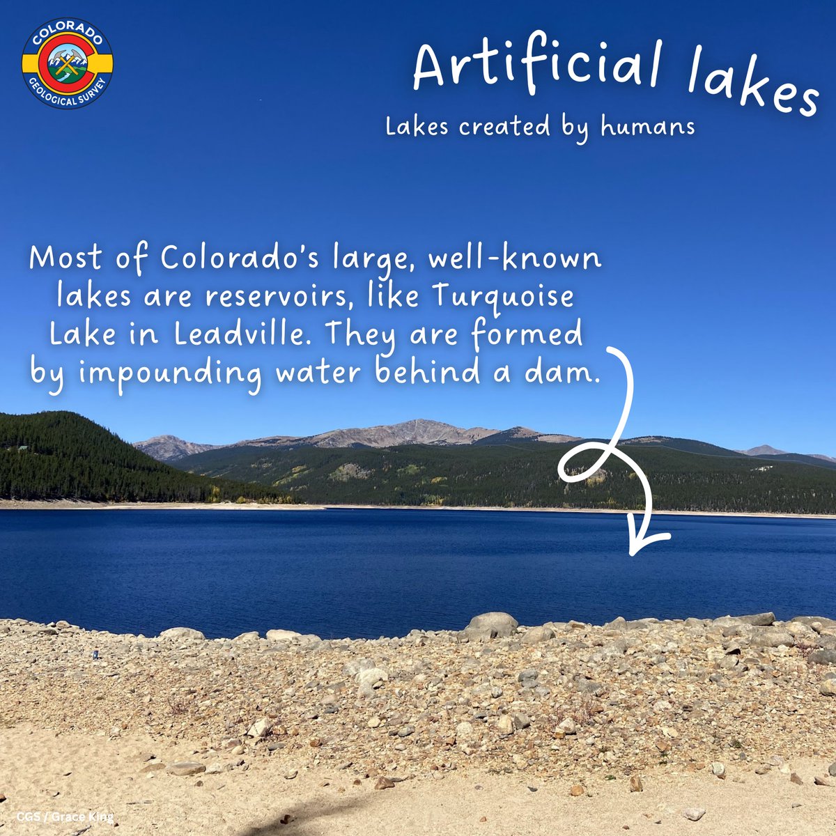
July is Lakes Appreciation Month! This is celebrated each year to express gratitude for lakes and ponds, which are an integral component of the water cycle. Colorado has hundreds of lakes, ponds, and reservoirs formed in a number of different ways. Swipe to learn more!
New publication alert! We have 9 new data packages related to our LiDAR-based Alluvial Fan (LAF) Mapping Project that are available as free downloads on our website. Now available are Boulder, Mesa, Clear Creek, Summit, Douglas, Eagle, El Paso, Jefferson, & Teller Counties.
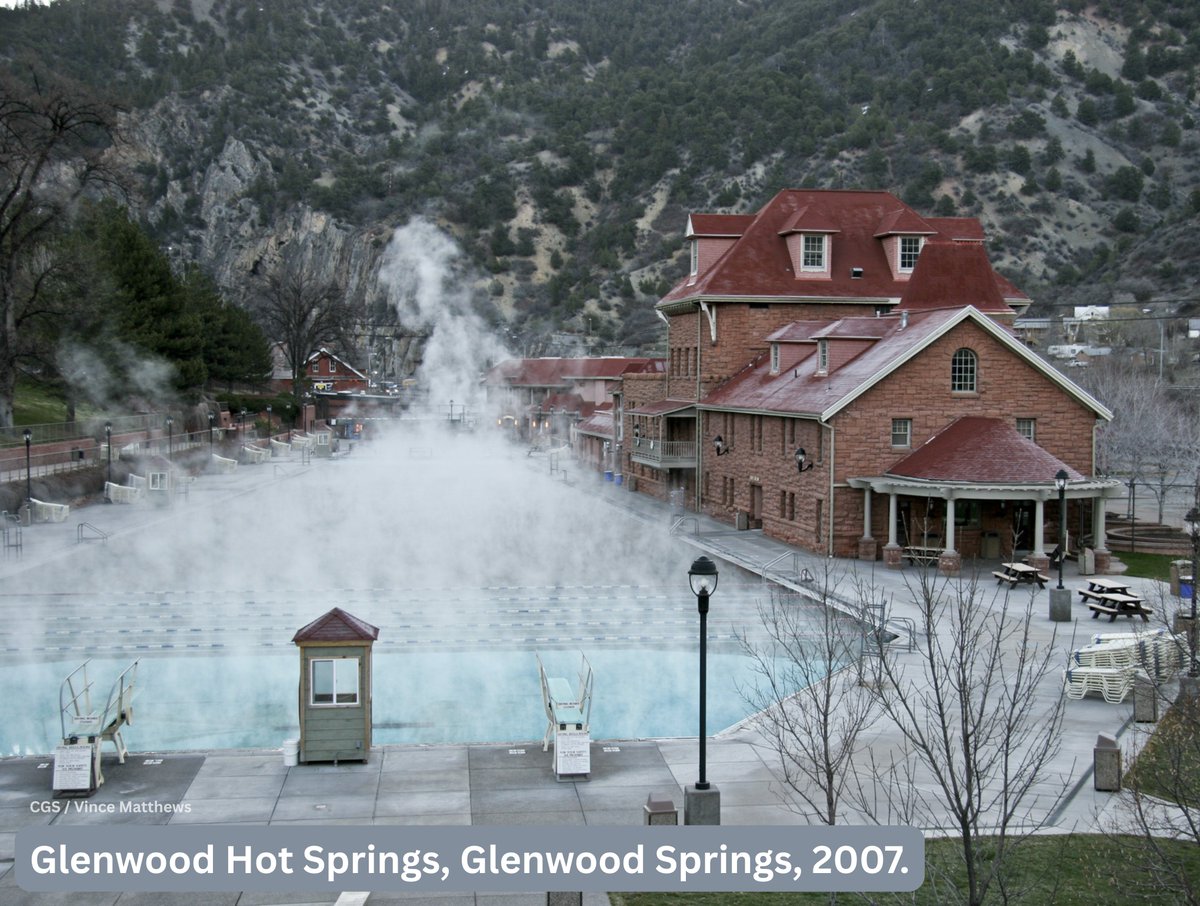
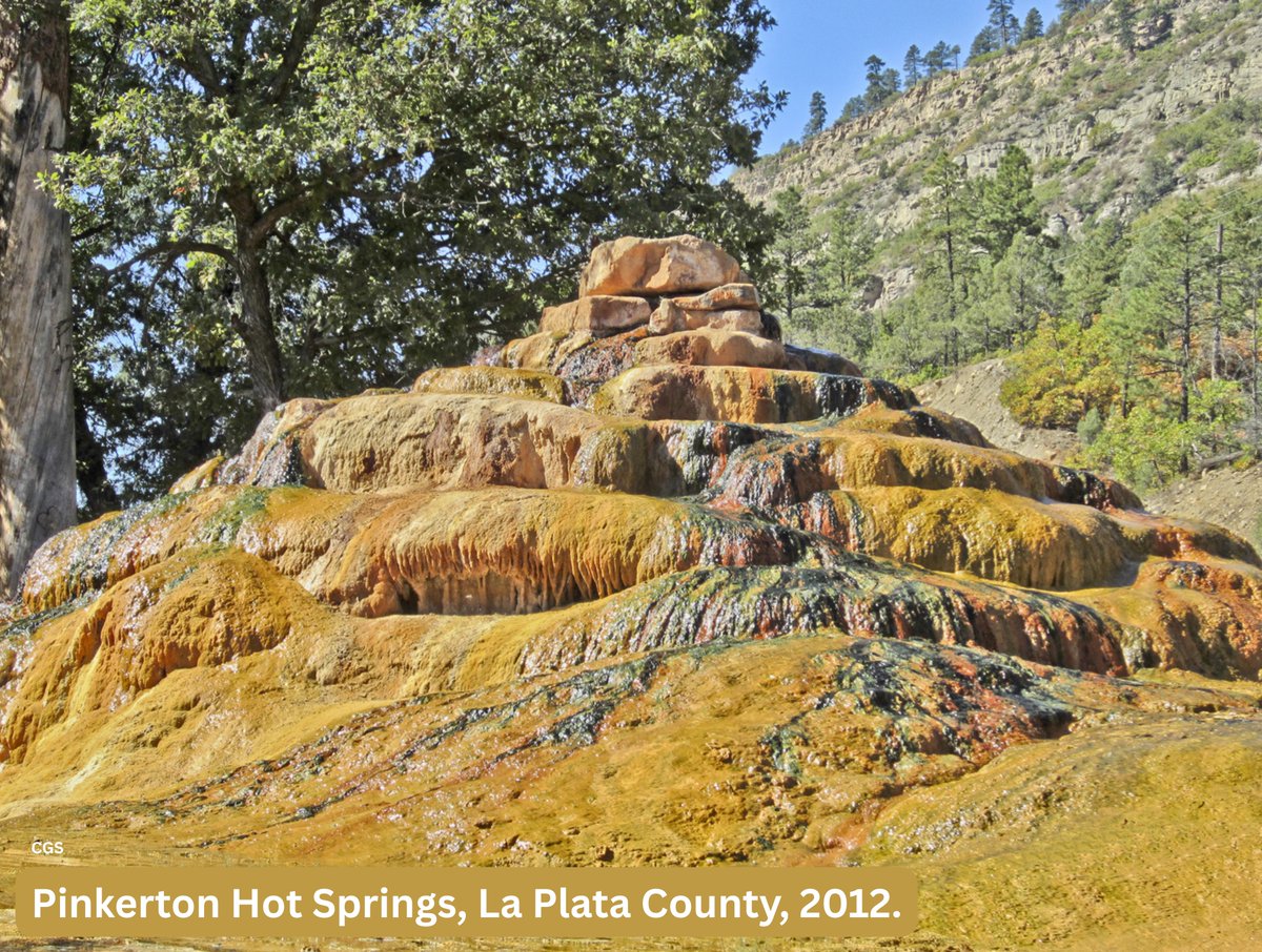
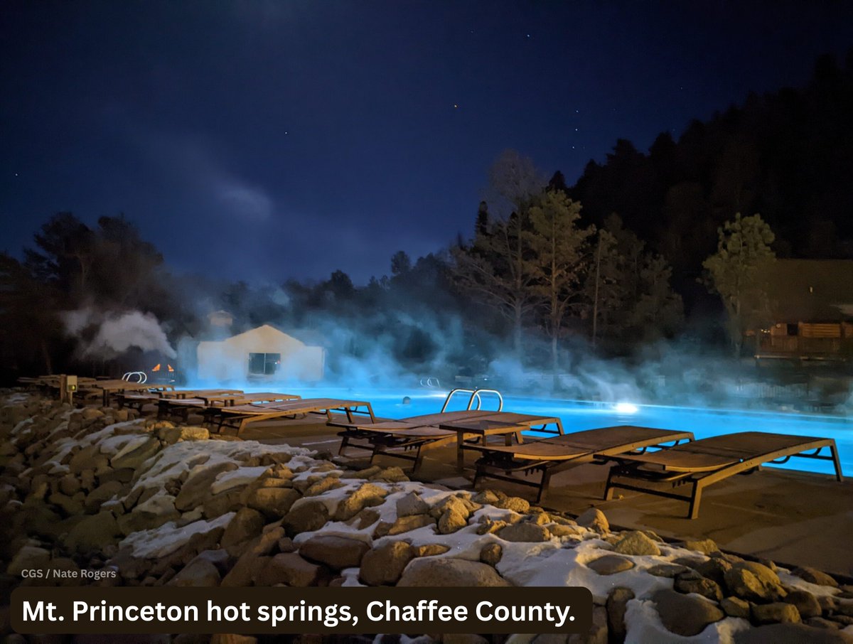
Geothermal means heat from the earth. There are 3 uses: direct use (straight from the ground, like hot springs & artesian wells), heat pumps (heating/cooling systems used for homes), and electrical generation (large-scale electricity production using water heated geothermally).
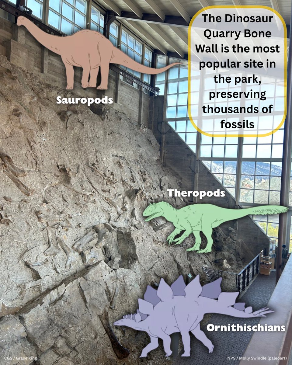
Dinosaur National Monument preserves 210,844 acres and 800+ paleo sites in CO and UT. It has 24 rock layers, exposed due to deformation and erosion. It’s known for the Dinosaur Quarry Bone Wall, where thousands of fossils are preserved in the Brushy Basin Mbr of the Morrison Fm.
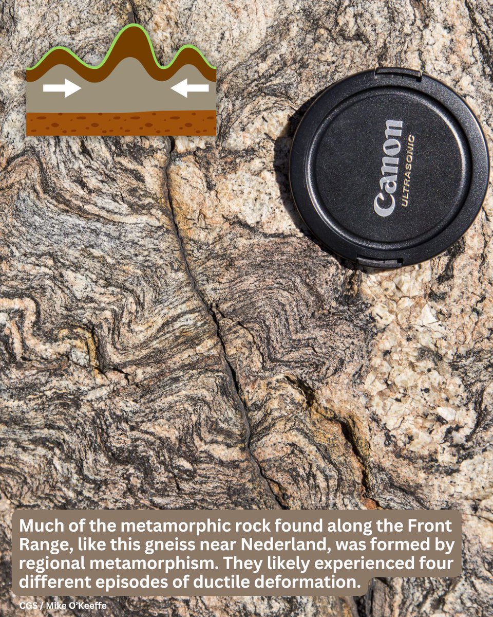
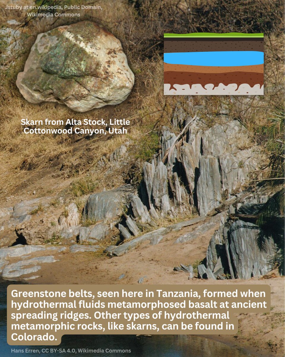
Metamorphic rocks have been changed by heat and pressure to form new rocks. The 3 most common types of metamorphism are regional, contact, and hydrothermal. Additional types include shock and dynamic metamorphism.
New publication alert!
We have a new geologic map available as a free download on our website. It includes 2 PDF plates and a GIS data package. Head to our website to download OF-23-09 for free today!
The Flat Tops are known for being… well, flat. They were uplifted at the end of the Laramide and then capped with basalt in the Miocene (~12-10 Ma). This basalt has kept the range flat, though it has been carved by glaciers. Devil’s Causeway and Trappers Lake are popular spots.
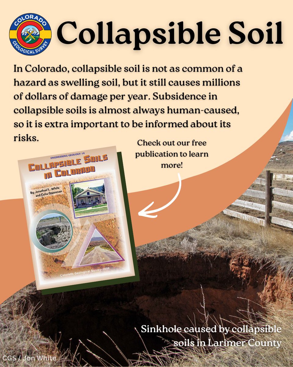
Collapsible soils are another hazard that causes problems when exposed to water. They are strong when dry but rapidly compact when wet, leading to subsidence including slopes & sinkholes. Damage from collapsible soil is almost always human-caused, and is common in CO.
The Triassic Chinle Fm may be best known from Petrified Forest NP in AZ, but western CO also has some nice outcrops. It was deposited ~235-210 mya in rivers, lakes, and continental wetlands. Some CO outcrops have preserved dinosaur footprints.
The Coke Ovens of Cokedale are historic coal furnaces in Cokedale. Bituminous coal from the Vermejo & Raton fms were mined in the area. Then, the ovens were used for coking: heating coal at high temps w/o oxygen present. The product is coal coke, used in industry.
CDOT just announced that the I-70 Dakota Hogback Point of Geologic Interest trails will be rehabilitated. They will increase access and safety, ensuring that the trails will remain stable in the future. CGS is proud to support this project.
Swelling soil is CO’s biggest geo hazard by financial cost & damage. The soil refers to unconsolidated rock material w/ high amounts of clay. The clay expands when wet and can cause structural damage to buildings, roads, pipes, etc. About 1/5 people in the US are impacted.
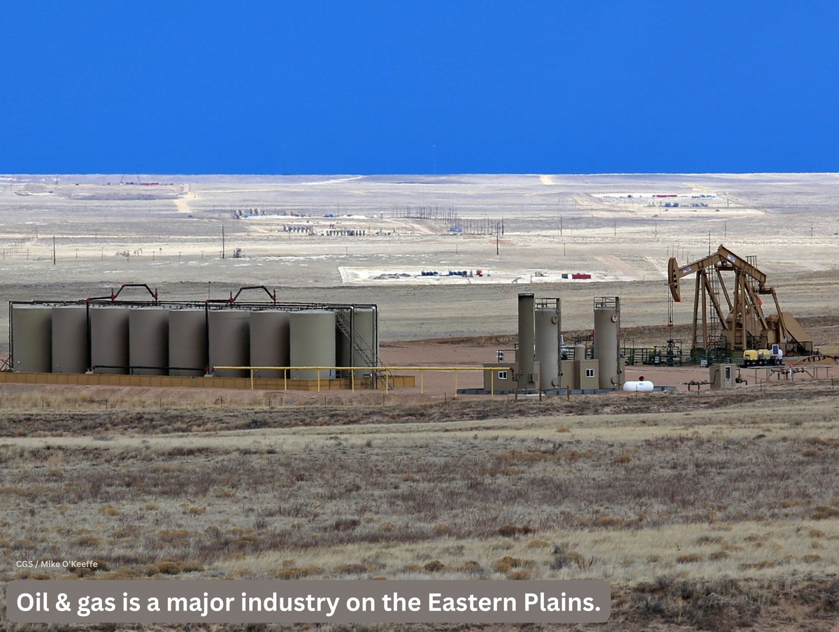
Saturday was National Prairie Day! Colorado’s Eastern Plains should not be skipped, geologically speaking. A lot of the same formations found western CO were deposited there, too, and important resources, like oil & water, are extracted.
We strongly recommend attending this Mineral ID Day event to get your rock, mineral, fossil, meteorite, or gem specimens identified by a panel of experts. This is a friendly reminder that CGS is NOT able to identify specimens, either in person or virtually. 💎
World Environment Day is tomorrow! This day encourages awareness about environmental degradation & inspires action to protect Earth. Certain degradation issues can exacerbate geologic hazards in CO, & part of our mission is to protect Coloradans from these hazards. CGS photos.
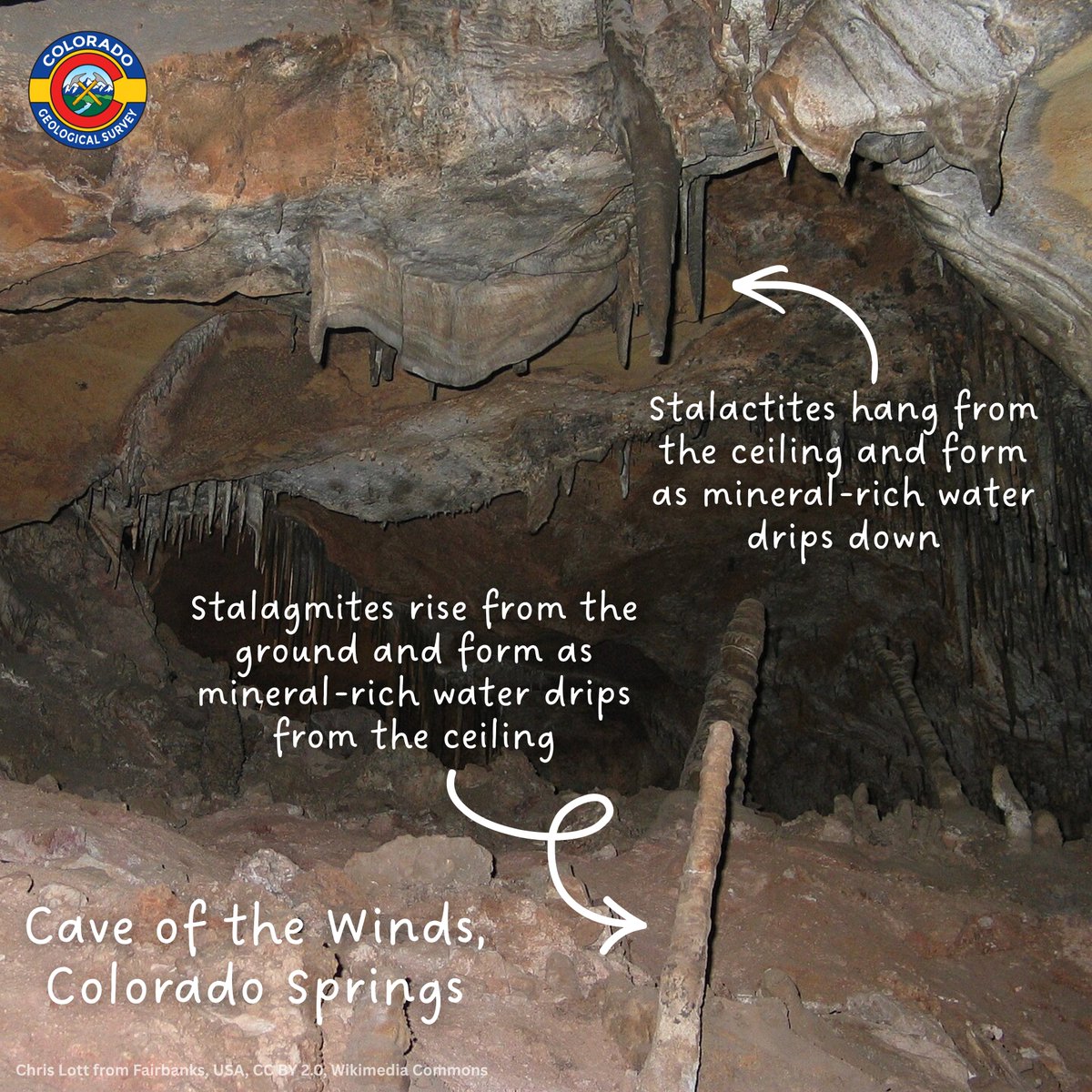
It’s Cave Week! This is celebrated annually to showcase the beauty of caves. CO has many caves & most formed by the dissolution of carbonates by carbonic acid in water (karst topography). Glenwood Caverns & Cave of the Winds are 2 popular caves, though unmapped caves do exist.
New publication alert! We have two new geologic maps available as free downloads on our website. Both maps are partially funded by the USGS through their Earth Mapping Resources Initiative (Earth MRI), a program assessing critical mineral potential in the US.