🌲 Every tree, counted, and provable.
NOBRAC, a Barcelona deep-tech platform & EARSC Start-Up Award finalist, combines VHR satellite imagery, #Sentinel & LiDAR with AI to verify carbon credits at under 5% uncertainty, anchored to a public blockchain.
🔗 https://t.co/dNoxQHqP7o
🌳 Protecting nature at scale starts with knowing where to look
Koordinat, a Danish AI/geospatial start-up & EARSC Start-Up Award finalist, built VERNA: screening aerial imagery, LiDAR & #Sentinel data
Already 2,000+ changes in habitat flagged across 15 Danish municipalities
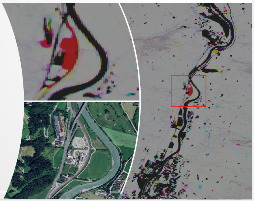
How can AI speed up building damage assessment after #earthquakes and #storms❓
Find out at our workshop on 10-12 November, with expert talks, technical sessions on Remote Sensing, and hands-on exercises
🔗 https://t.co/W8uTIlVV2i
40% of EU 🇪🇺 citizens live in towns with fewer than 20,000 inhabitants. How can EO 🛰️ reach them?
Join the next #EOcafe on 22 October at 16:00 CEST to discuss local needs, the role of intermediaries, and how to make EO solutions fit for purpose.
🔗https://t.co/pDXRPJyWOU
How do you turn a satellite image into a number a bank 💶 can act on?
Envira, a Danish climate fintech & EARSC Start-Up Award finalist, turns satellite & climate data into physical climate risk metrics, via Envira 🚜 Agro (crop risk) & Envira 💧 Flood (building-level flood risk)
What does it take to secure 🛡️ Europe's most sensitive Earth Observation data?
@CloudFerro has introduced Bastion, a sovereign cloud solution for defence, civil security & critical infrastructure organisations handling EO and operational data
Discover it:https://t.co/DOJSPddEf3
🌫️ Cleaner air intelligence, sharper resolution. 🌫️
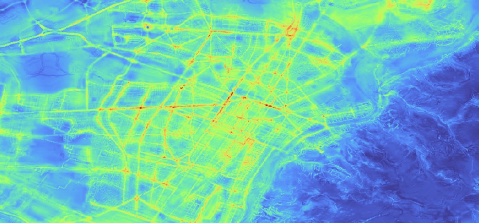
@Latitudo40's Air Quality solution combines EO, weather modelling & AI-powered downscaling to map pollutants at up to 25m resolution, enabling operational monitoring of localised air quality.
🔗Explore: https://t.co/2sx2eg5WLa
🪓🌳 Environmental crime grows an estimated 5 to 7% a year.
At Environmental Crimes 2026, our colleague, Leon Wiesner, presented @ENFORCE_EU: EO 🛰️, citizen science, in situ sensors & AI triangulated into alerts for enforcement. Our members are part of it 🤝
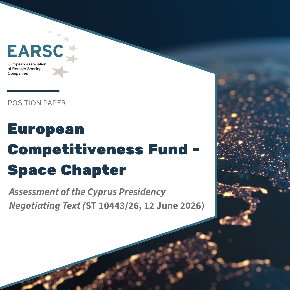
@CopernicusEU has no ring-fenced budget in the proposed European Competitiveness Fund.
Our new position paper on the ECF Space Chapter explains why this puts #Sentinel continuity and Europe's €1.5 billion EO downstream industry at risk, & what to fix.
🔗https://t.co/N6J1nc3leH
Satellite intelligence, straight to your 📱 phone, even offline.
Hydramo has launched EO2GO Mobile EO Twins, a "Satellites-to-People" concept using AI-to-AI over-air tech and Edge AI, now part of the #Copernicus ecosystem.
Bringing EO insight to the field, not just the desktop.
🛰️☕ Missed the latest #EOcafe? The recording is now available!
🌱 How do banks and rating agencies use EO in carbon markets? What does the CRCF Regulation mean for the sector?
With Saheba Bhatnagar (@BeZeroCarbon) and Mila Luleva (@Rabobank).
🎥 https://t.co/u1uDwSQz77
#DYK that performance of a geospatial AI model is decided before training even begins❓
@EnabledIntel_AI tested 35+ labeling platforms before choosing @KiliTechnology, hitting 99%+ accuracy on ground truth datasets. 🗺️
Kili's since shipped 4 new capabilities for EO 🛰️ teams.
🦋 Biodiversity is changing faster than we can measure it. Can satellites 🛰️ help close the gap?
A biodiversity mapping programme in southern France combines satellite tech, ecological expertise & frugal AI 💻 to help territories adapt to climate change & biodiversity loss.
#DYK you can turn multispectral 🛰️ imagery into meaning, without a single training sample❓
🌈 color33 is a cloud-based service that converts #Sentinel2 🇪🇺 imagery into actionable land-cover categories, no training data required.
Explore it here 👉 https://t.co/tSj21quTEO
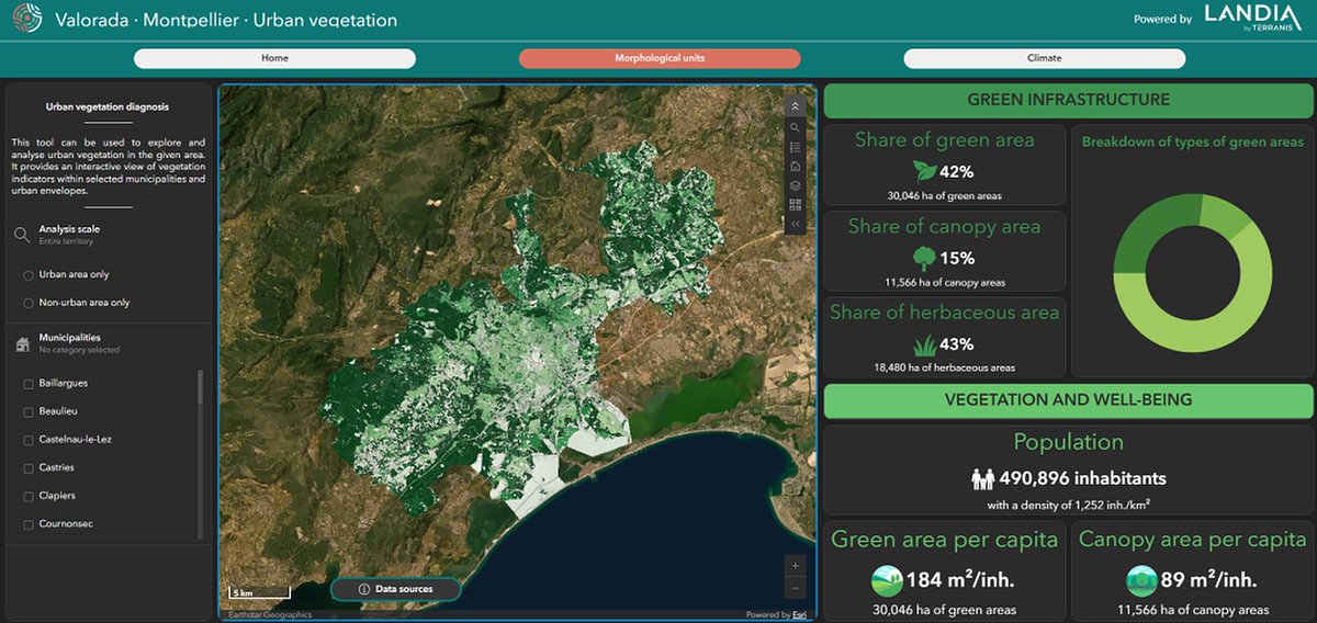
🌍 How do you prepare 150 EU regions for climate resilience by 2030❓
@HorizonEU@VALORADA_EU project (2023–2026) brought together 14 partners to assess climate risk across regions from Bulgaria to France, developing data tools & climate-risk indicators built on FAIR principles.
🌱 A new irrigation season is starting, and satellites are helping 🚜 farmers get ahead of it.
@Oenoview is monitoring ~40,000 hectares across Europe, combining EO data with agronomic models & in-situ measurements to optimise irrigation.
🔗 Read more: https://t.co/ZLlPrmeoGL