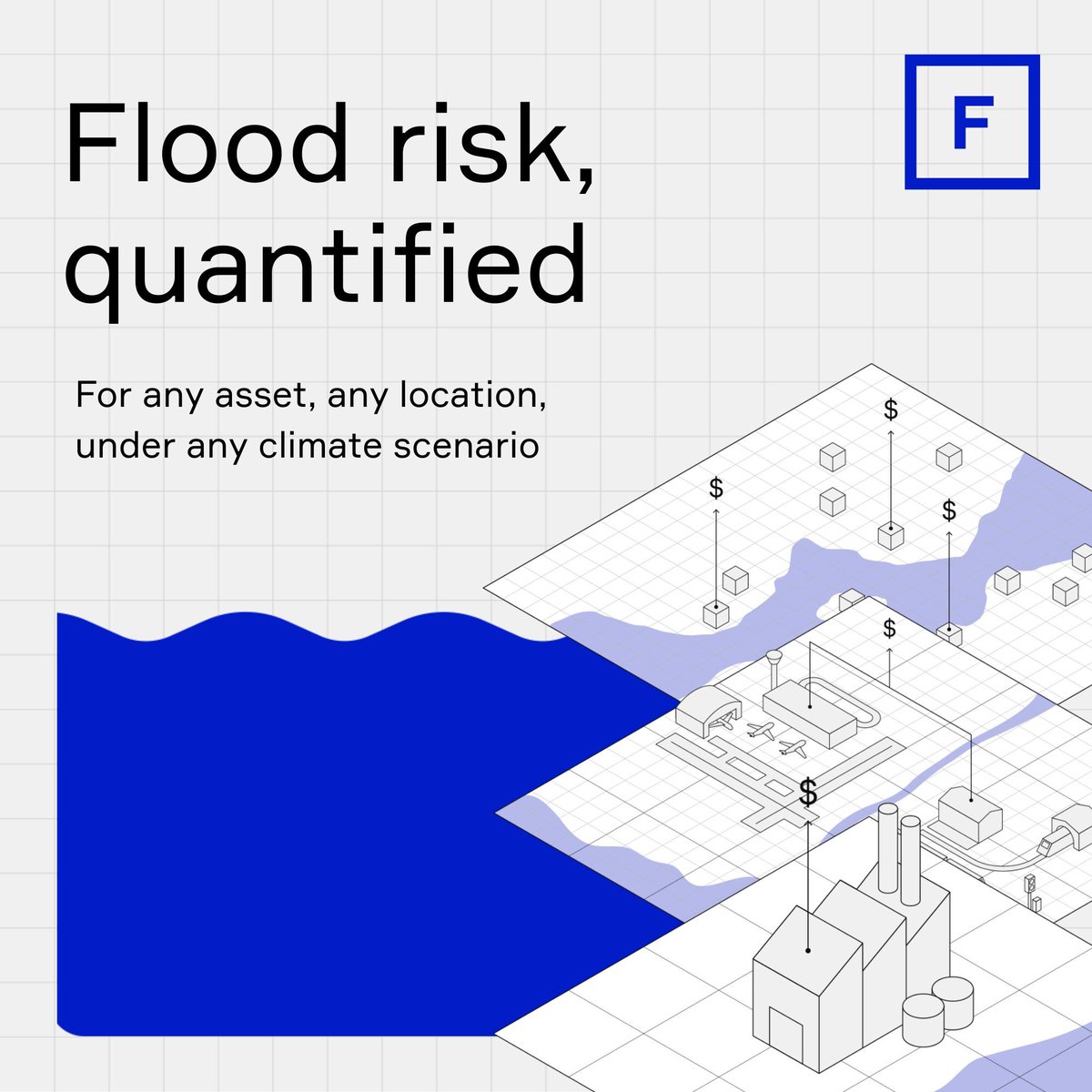
Quantify financial risk with Fathom’s Global Flood Cat — introducing the first truly global catastrophe model that considers both inland and coastal flood perils.
Want to know more? Visit our product page: https://t.co/hqxQ6Ate2f
#catastrophemodel#floodrisk
Ready to tackle climate risks? Join our interactive workshop for banks and investors. You will engage with our flood risk and finance experts through a fictional case study and learn how industry leaders turn cutting-edge flood data into practical strategies.
Flood risk is a global challenge facing financial institutions today, especially as businesses with assets around the world are exposed to increasing threats from extreme weather. We’re here to help quantify your flood risk for robust, long-term planning. Explore more in comments
Fathom has integrated its Climate Dynamics framework into Global Flood Cat, making it the first truly global flood catastrophe model with the ability to simulate risk across any year and climate warming scenario up to 2100
#ClimateRisk#CatastropheModeling#FloodRisk
We are proud to announce a new collaboration with leading financial markets data provider ICE, bringing our science-led flood data to their Global Climate Risk solution that enable investors and asset managers to quantify risk at a detailed, local level.
#ClimateRisk#FloodRisk
🚨The US population projected to be exposed to flooding annually is due to rise by 97% by 2050.
The states with the highest increase in population exposure between 2020 and 2050 include Iowa (276%), Georgia (236%), North Dakota (221%), South Dakota (215%) and Kansas (204%).
Is your state among emerging flood risk hotspots across the US?
Our US Flood Risk Index data briefing will help you better understand how your business can leverage data for flood risk management and informed resilience decision-making.
Register now: https://t.co/UneSlQZmRH
FEMA currently only cover approximately 60% of the continental US, and only 19% is covered by maps less than 10 years old.
Explore whether flood exposure could be under-mapped and under-estimated in your state: https://t.co/oBuPhGv2io
In most US states, over half of expected flood losses occur outside FEMA's SFHA. Many businesses and communities believe they're safe when they're vulnerable.
While FEMA recommends updating flood maps every five years, only 19% is covered by maps less than 10 years old.
Exciting week at #ASFPM2025 in New Orleans! 🌊
Stop by our booth for a flood risk talk and discuss how to keep your businesses and community dry when waters rise. Don't forget to grab our popular Fathom hats!
Top 5 States Facing Highest Flood Loss Increases (2020-2050)
1. Louisiana 147%
2. Florida 74%
3. South Carolina 58%
4. Texas 47%
5. New Jersey 46%
These states face dramatically escalating financial vulnerability - far above the national average of 28%.
Academic research is fundamental to Fathom. We partner with leading institutions to push flood science forward, delivering transparent, research-based flood risk intelligence.
Explore our research: https://t.co/eHSrb26AeH
Introducing Fathom’s US Flood Risk Index: a new interactive tool that gives floodplain managers, planners, and risk engineers a detailed, state-level view of flood exposure across map coverage, population, and vulnerable infrastructure like roads and rail
#FloodRisk#FloodMap
Last week, our team of Fathomers headed to Vienna for the European Geosciences Union (EGU) General Assembly 2025. They presented innovative research, led engaging sessions, and connected with the global scientific community.