New video: explore deep learning models in #QGIS with the Deepness plugin. Segment or detect features from #RemoteSensing images. #GeoAI#MachineLearning#GIS https://t.co/xRfZm0ZyKz
🌟 Missed our webinar on #GeoNode on version 4.4?No worries! 🎥
🗺️ Dive into exciting new features:
✨ Support for 3D Tiles and Assets
🔌 The new QGIS Plugin for enhanced workflows
🛠️ Bug fixes and performance improvements
👉 Check out the recording and slides on our blog (first comment for recording and slides): https://t.co/cuKjTrKyP6
#GeoNode #OpenSource #GIS #3DTiles #WebMapping #FOSS4G #osgeo @CesiumJS #GeoServer #MapStore #gischat #3D #webgis🚀
📢Data Training Webinar 2/19📢
Join us to learn how to work with @NASA_ICESat2 land and vegetation height data. A live SlideRuleEarth web service demo will show you how to use on-demand science data processing for ICESat-2 & other data.
Info/Register: https://t.co/d8qopzPPXr
After making a massive $7.19 in 4 months (less than the $10 payout threshold), I've decided to start ungating my Medium-hosted tutorials (it's not really in the knowledge-sharing spirit anyway!) and migrate them to my website, starting with... https://t.co/MxMHuiz0Hq
New Video: Exploring the Kue plugin: an #AI Chatbot for #QGIS by @BuntingLabs 🌍✨
Simplify geoprocessing tasks with AI. Highlights: installation, base maps, styling, analyses & more.
🔔 Subscribe for more! #QGIS#AI#GeoAI#GIS https://t.co/hMroXXgfP6
Pour vous permettre de réaliser votre nouvelle bonne résolution de participer à la communauté #QGIS, nous prolongeons l'appel à proposition au 29/01!
On compte sur vous!
https://t.co/sa6JU8Kgoh
#QGISFR2025
🌍 Leafmap Tutorial 103: Adding a custom colormap to a raster image!
📹 Watch the Video: https://t.co/7EazBZiGOR
📓 Explore the Notebook: https://t.co/YKwW7OHrLv
#Geospatial#Leafmap#Python#DataViz
New video: segment anything in #QGIS with the Geo-SAM plugin. With examples to segment solar panels in cities and parcels in rural areas.
#GeoAI#AI#GIS#RemoteSensing
https://t.co/lQmPSBG9Tl
📹 Check out my final video of 2024! Learn about custom workflows for stream & catchment delineation in #QGIS with tools from #GRASS, #SAGA, #PCRaster & #WhiteboxTools.
🌍💡Discover the benefits of #OpenSource tools over proprietary software. #QGIS#GIS
https://t.co/6Y0KECx6fO
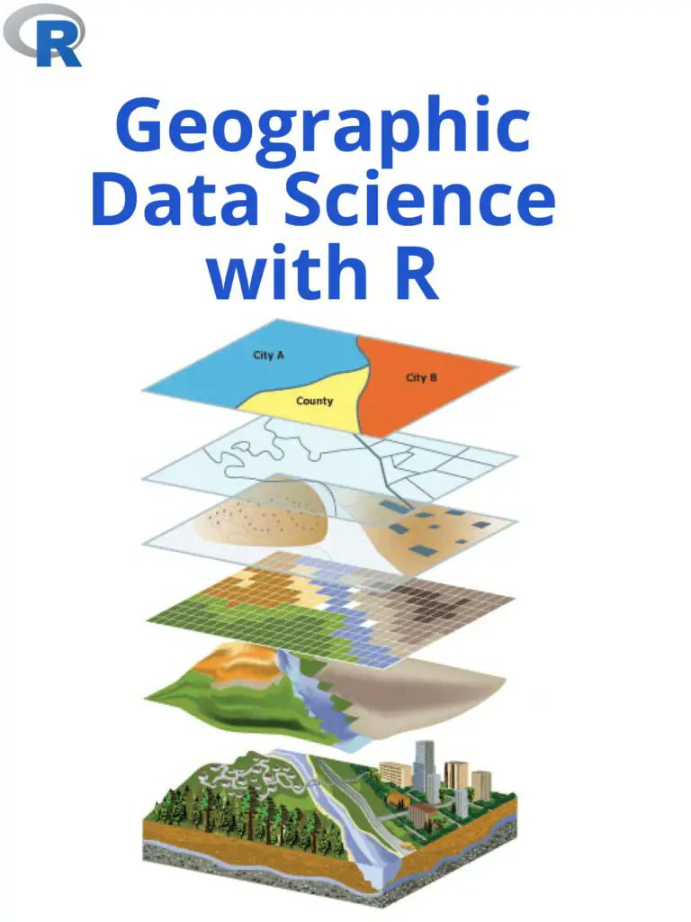
🎉 I just wrapped up teaching the Introduction to GIS Programming course this semester at the University of Tennessee! All course materials and lecture recordings (26 hours) are freely available online.
Explore the links below to dive into #geospatial 🌍 data visualization and analysis using #opensource Python packages:
🌐 Course Website: https://t.co/2dK3d0nHH7
📂 GitHub Repository: https://t.co/yBth77qzfa
📺 YouTube Playlist: https://t.co/9sbsl5TfCS
Join me in exploring the world of geospatial analysis with #python and #jupyter!