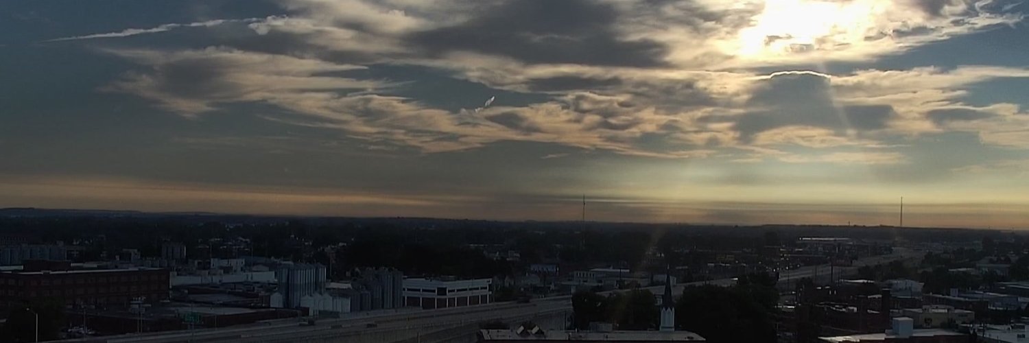
We're keeping the nice weather rolling into this Hump Day! Enjoy it! Showers and storms will return Thursday night-Friday⛈️ #tristatewx#hendersonky#kywx
US 60 By-pass in Daviess Co (Owensboro) at 4am
A reminder to try to stay in one lane and avoid passing or switching lanes
Props to @KYTC for getting ahead of this winter weather event
@kystatepolice
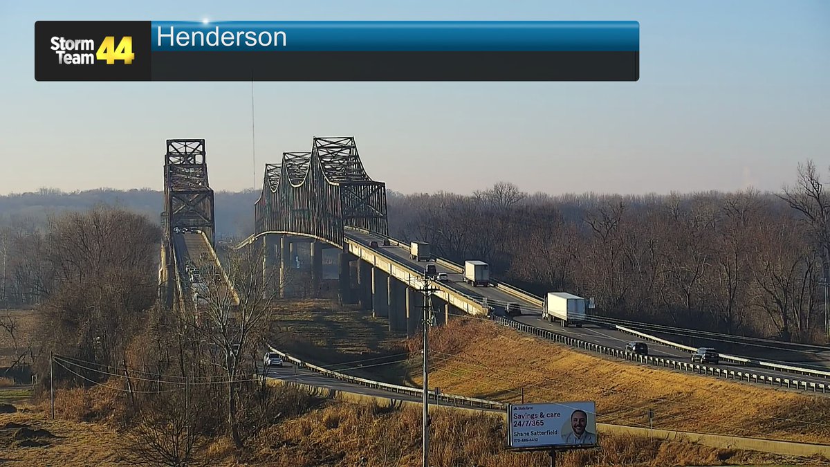
🚨CAUTION: (Henderson Co)🚨
Tractor-trailer has slid causing an issue at the 11 mile-marker of the Audubon Parkway westbound
One lane currently open waiting on a wrecker. Expect temporary delay until removed
@kystatepolice@14News@WEHTWTVWlocal@my44news
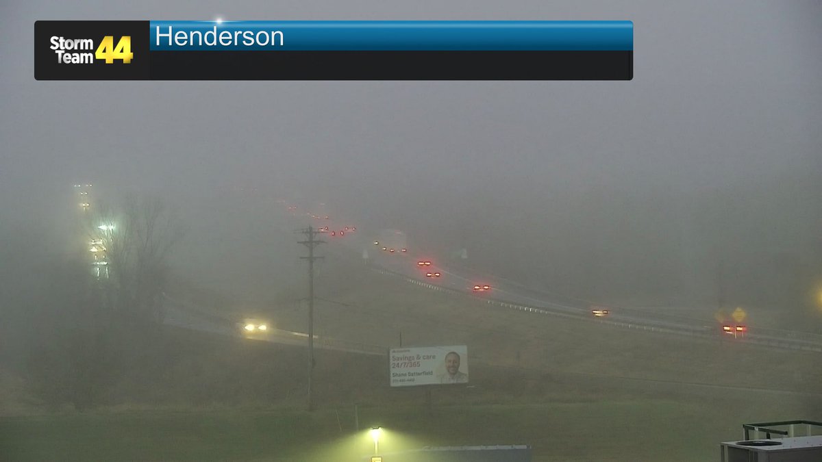
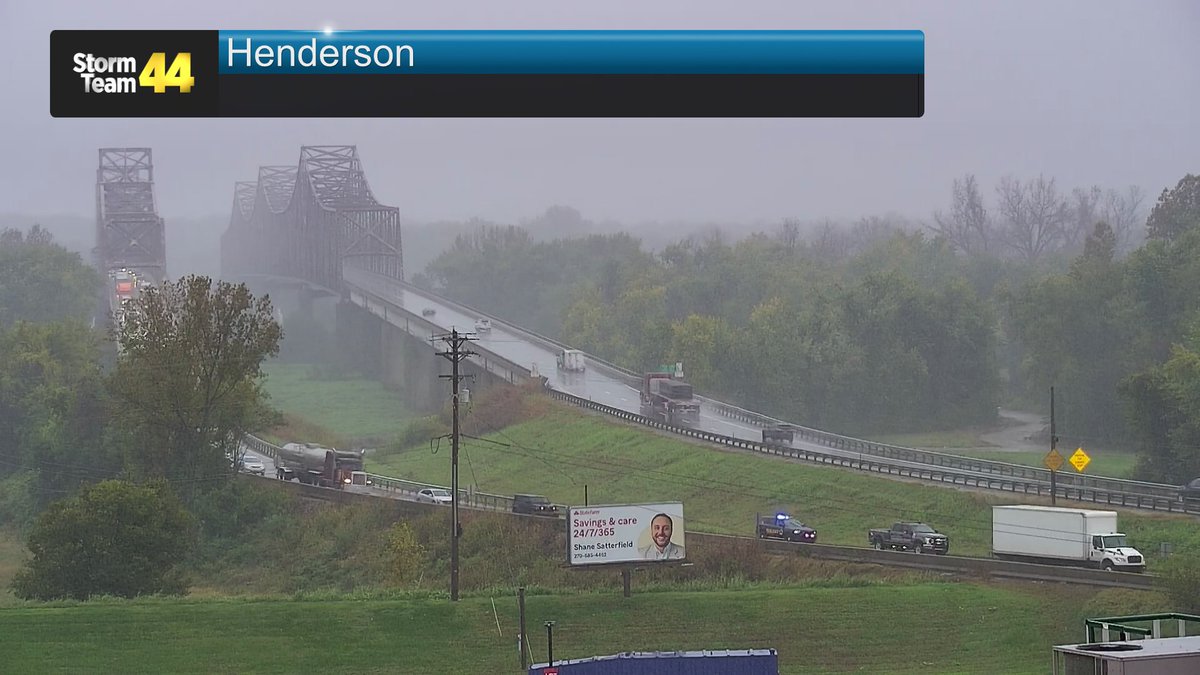
1:30PM: HEADS UP📷 if you're heading to Evansville! There is a crash that has slowed down traffic in the northbound lanes of US 41. A semi is over on its side (no injuries). #Henderson#kywx#rain#twinbridges
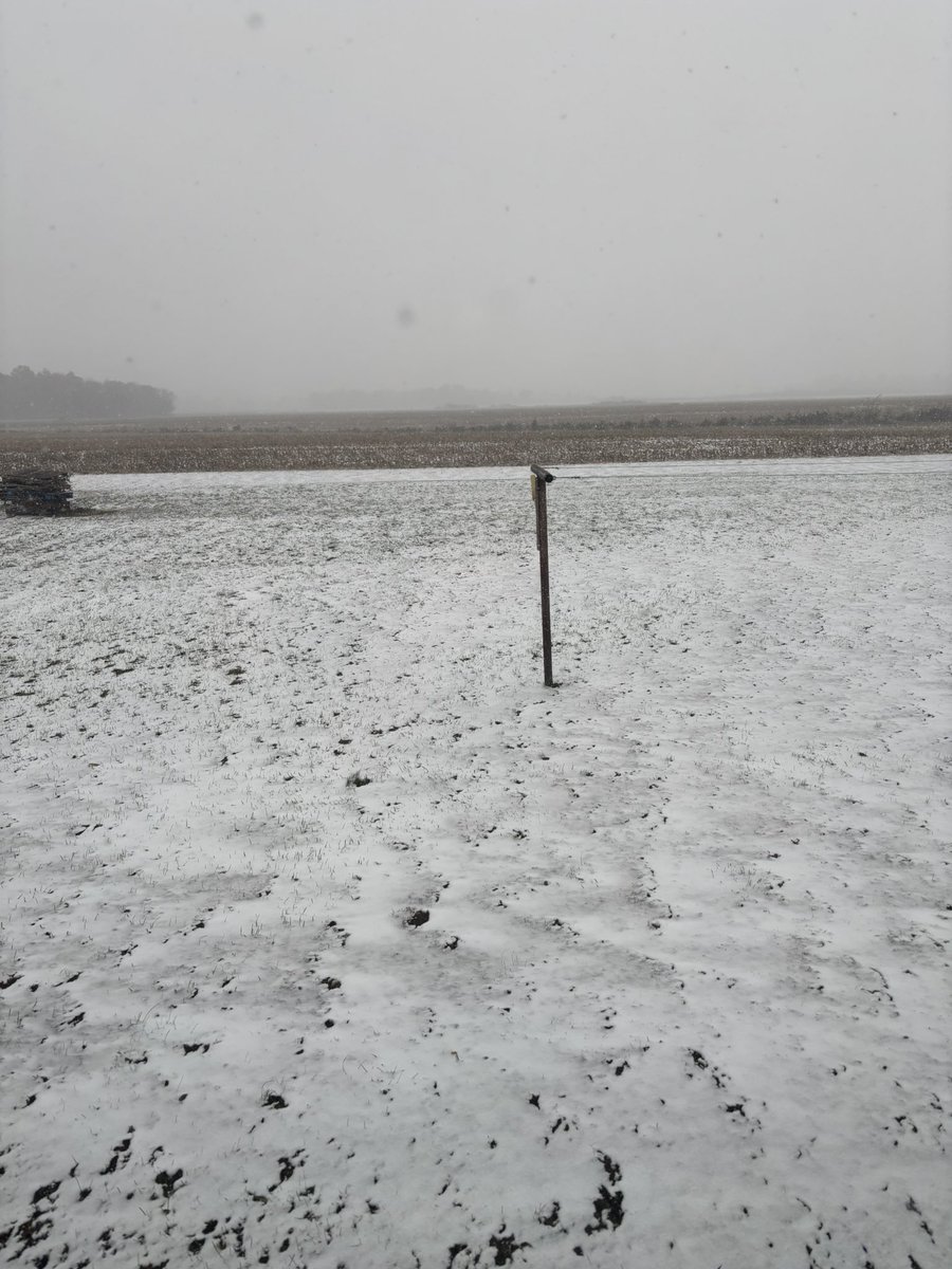
A Frost Advisory will be in effect early Thursday morning (3-8AM CDT) for the northern half of the Tri-State. Protect your plants!🥶🌿#tristatewx#kywx#ilwx#inwx
No surprise here... the drought has expanded across the Tri-State⚠
Here is the latest update from the latest data:
- Severe Drought in our far southern and western counties
- Moderate Drought in much of the central portions
- Abnormally Dry to our far east and northeast
🚨 The 2025 Munchie Map is LIVE! 📷📷 Over 130 booths packed into 4 blocks at the West Side Nut Club Fall Festival! Find your faves & discover new bites. 📷 Download now: https://t.co/2o7Cy2ydzD
#MunchieMap2025#FallFestivalEats
❗Drought Monitor Update❗
Abnormally dry conditions have expanded since last week. We likely won't see our next chance of rain until Tuesday and Wednesday of next week. #tristatewx
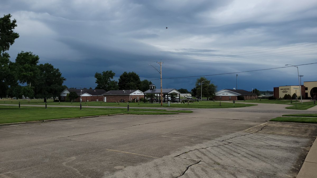
A Severe Thunderstorm Watch has been issued for parts of the Tri-State until 7/21 1:00AM EDT.
If you're in the affected area, you should monitor the conditions in your area as severe thunderstorm development is possible.
A Severe Thunderstorm Watch has been issued for parts of the Tri-State until 7/21 1:00AM EDT.
If you're in the affected area, you should monitor the conditions in your area as severe thunderstorm development is possible.
A Severe Thunderstorm Watch has been issued for parts of the Tri-State until 7/21 12:00AM CDT.
If you're in the affected area, you should monitor the conditions in your area as severe thunderstorm development is possible.
A Severe Thunderstorm Watch has been issued for parts of the Tri-State until 7/21 12:00AM CDT.
If you're in the affected area, you should monitor the conditions in your area as severe thunderstorm development is possible.