With the additional rainfall from this last storm, this October is now the fourth wettest month on record with 5.15" of rain! There are no rain chances in the forecast for the rest of this week, so this is likely where the record stops. @kslnews#utwx
A cold front will bring scattered showers and storms Tuesday as well as a 10 degree drop in temperatures across northern Utah! More details: https://t.co/Yw1iiFKsfN
While temperatures will be nice for our college football games Saturday, we'll be keeping an eye on the chance for isolated to scattered showers & storms in the afternoon. If you're heading to the Uni of Utah football game, bring a poncho for the 2nd half! https://t.co/Yw1iiFKsfN
It's the first weekend of the Utah State Fair and it's looking pretty good! However, on Saturday there is a 30-40% chance for isolated showers/storms. If you're attending tomorrow, stay weather aware! Hopefully the rain, if any, can avoid the fairground. Have a great weekend!
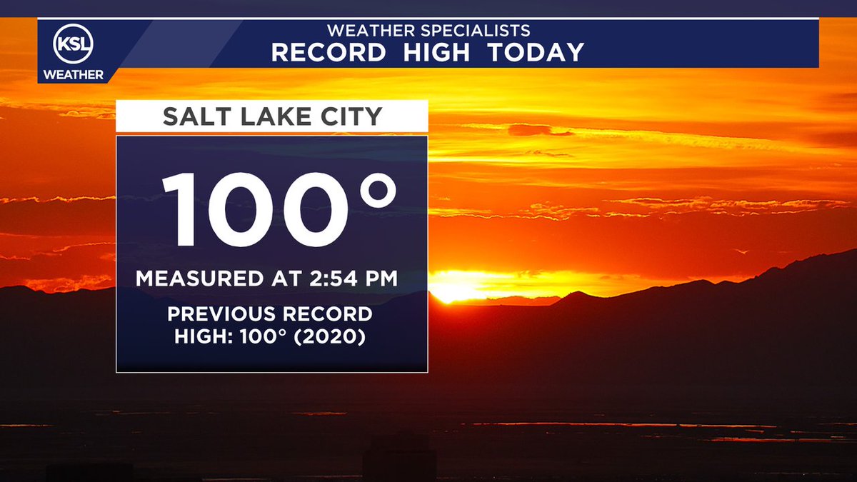
RECORD HEAT: Salt Lake City hit 100 degrees around 2:54 PM, tying the previous record high set back in 2020. This is our 7th triple digit day of the year and the 3rd so far in August. The 2025 summer total for 100s in SLC is 7 (average is 8). We have another chance tomorrow!
RADAR UPDATE 7:17PM: Several storms are moving northeast through Weber and Davis Counties. These storms can produce up to 50 mph wind gusts and not a lot of rain. We're hoping some rain can make its way to the ground, especially over the Willard Peak Fire. #utwx#kslweather
We'll see some clouds move south to north tomorrow, so we'll call it partly cloud in the morning, then mostly sunny in the afternoon. With these clouds, an isolated mountain shower or storm is possible across northern Utah, valleys will stay dry.
The July heat continues as high temperatures climb back near 100 degrees in the north. South winds will develop on Tuesday and that will transport smoke from central and southern Utah northward.
Highs will climb about 5-10 degrees tomorrow across Utah with mostly to partly sunny skies. Warmer weather is instore for us by late week. https://t.co/Yw1iiFKsfN
FIRST 90: After flirting with the 90 degree mark a couple days this month, SLC Airport has officially hit the mark this afternoon. The heat will continue this weekend! Protect yourself from the heat! https://t.co/Yw1iiFKsfN
Rainfall totals will range between .50-1.0" for north and central valleys. Expect less than a quarter for most southern and eastern valleys and less than a tenth for St. George. Mountains could see 6-12" above 8000ft!
Severe storms are popping across northern Utah bringing damaging wind. A Severe T-Storm Watch has been issued as storms will continue to develop through the afternoon. Tune in to KSL News at 4:30pm for the latest on the storms. #utwx
It'll be very warm this weekend with highs in the mid to upper 80s! Winds will pick up Sunday, so if you're bbq-ing for mom, hold down the napkins and plates! Changes arrive next week!
After a mostly dry and warm Saturday, we'll see scattered thunderstorms develop and circle around the state Sunday and Monday bringing valley rain accumulations of .25" to .75" and mountains around 1-2"!