Leica Geosystems products and services are trusted by professionals worldwide to help capture, analyse, and present spatial information. Part of @HexagonAB
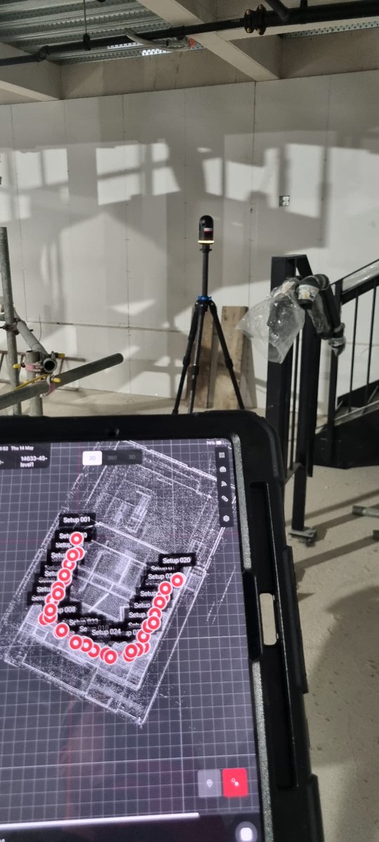
We’re in the latest GeoConnexion International! Jürgen Mayer looks at how real-time cloud collaboration can close the gap between field and office in Scan-to-BIM. Find the full article in the Autumn 2026 issue. #RealityCapture
With the #NewLeicaRTC, public safety teams can capture accurate 3D data quickly and make it available to others in real time, supporting faster analysis and better situational awareness beyond the scene. See what's possible when every second counts 👉🏼 https://t.co/iCq9tnIJX6
What does “focus on performance” mean for everyday surveying?
Irina Lungu, product manager for Leica X-PAD, explains the thinking behind the new Leica X-PAD portfolio, built around focused workflows for the work teams do most often.
Learn more: https://t.co/xf5CPZRI13
A very different day with the BLK360: scanning the Catacombs of Pretestato beneath Rome. See how this historic underground site was captured in 3D and what it was like to work inside the catacombs 👉 https://t.co/7EqDTqKc8s
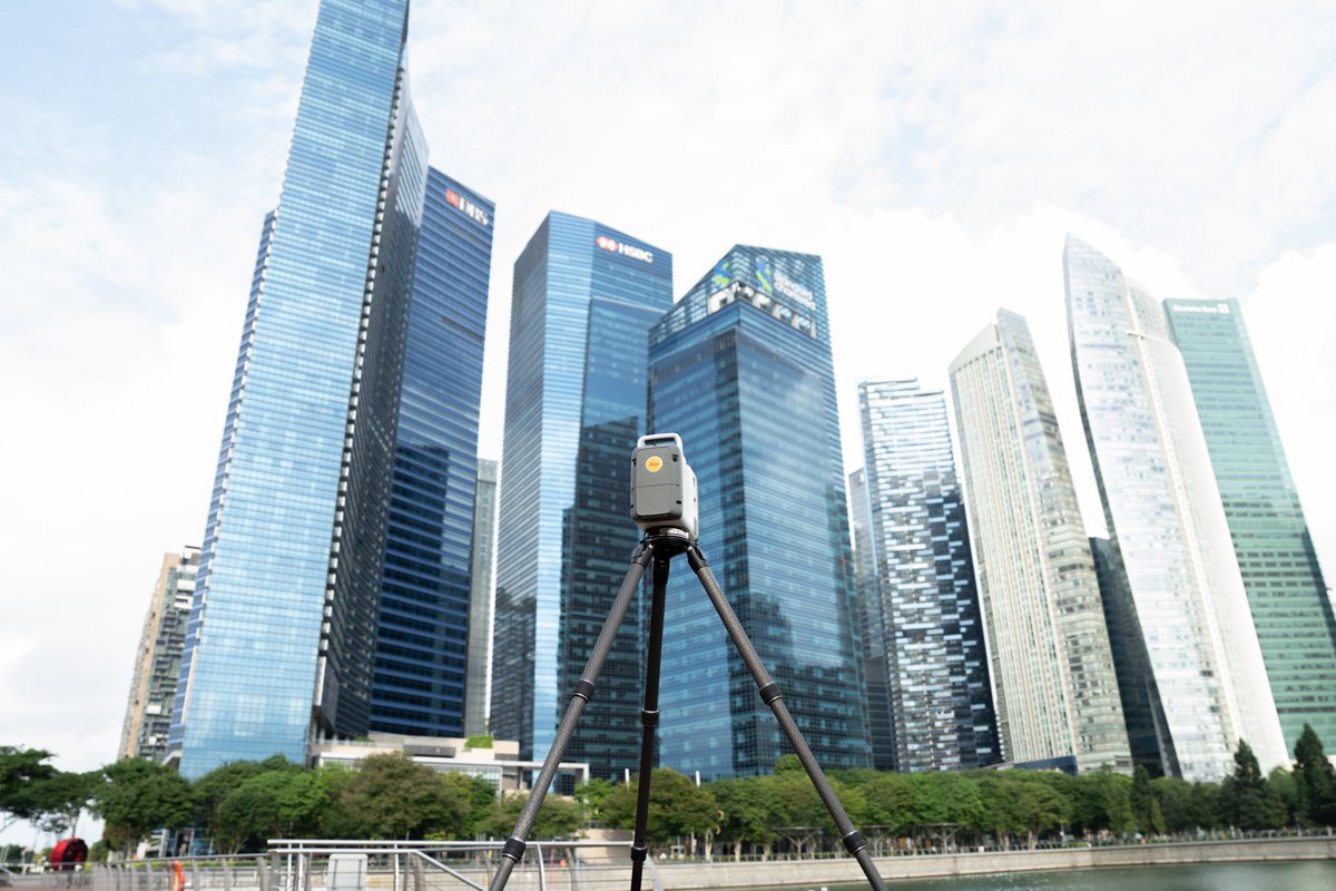
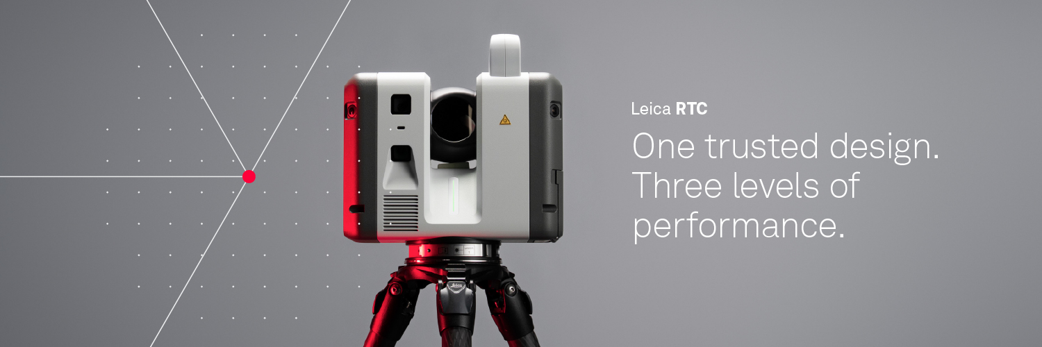
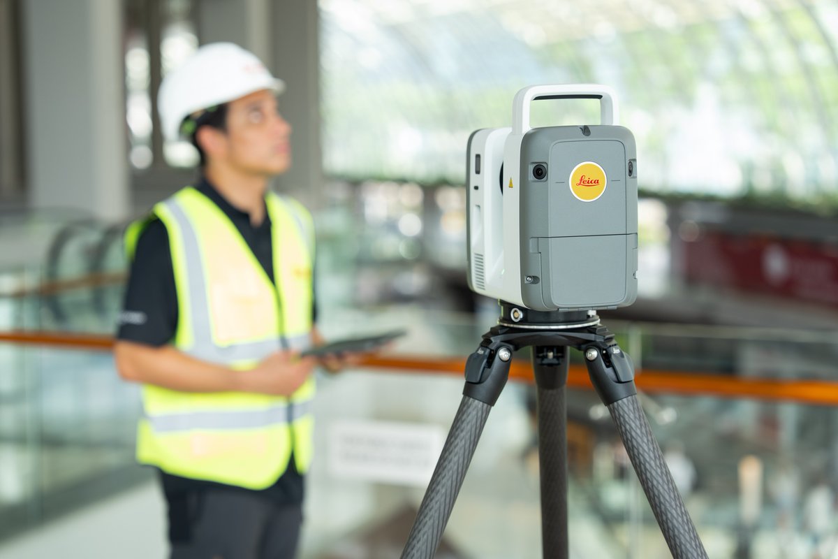
Cities are constantly evolving, and the teams behind them need tools that can keep up. The #NewLeicaRTC series helps teams capture and document the spaces that cities depend on. Find the Leica RTC scanner for your next project: https://t.co/x8W1ZUFMAV
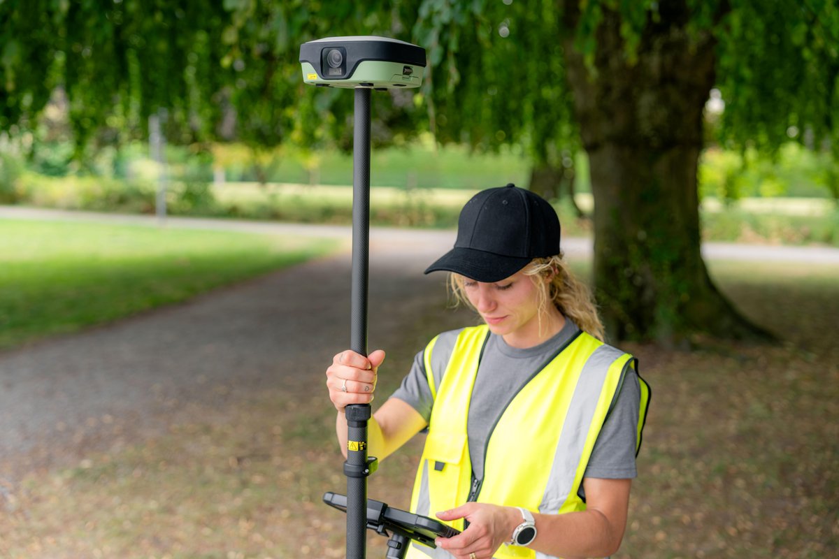
Introducing Leica X-PAD and the new Leica GS11 #GNSS smart antenna.
Focused workflows for everyday surveying, with visual stakeout, image-based measurement and the ability to verify your work before leaving the site.
Learn more: https://t.co/6EjRehGGku
#LeicaXPAD#Surveying
Think mobile mapping is out of reach? The Leica Pegasus TRK300 might change your mind. Designed to help more surveying and geospatial professionals capture high-quality data efficiently and confidently. Rethink your workflow 👉🏼 https://t.co/eX51pWEt43
@balan_sopo Hello, thank you for contacting Leica Geosystems. Please visit our website and locate a representative in your region for support requests: https://t.co/u7qtPnb8ZU
For us, sustainability isn't a separate feature. It's part of how we think about building the next generation of reality capture technology. Explore the #NewLeicaRTC series: https://t.co/UjiceKaiPk
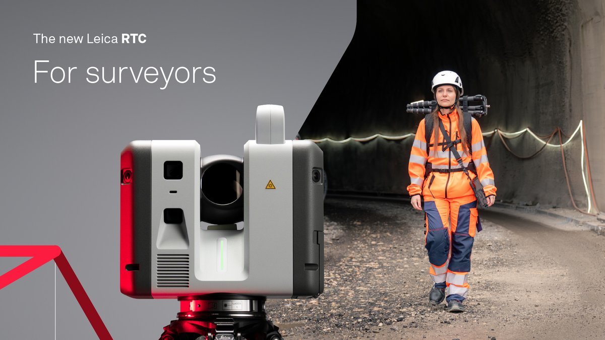
#NewLeicaRTC helps surveyors capture accurate data faster while keeping field and office connected in real time. Earlier validation, clearer visibility as work progresses, and fewer reasons to revisit the site. Connected reality capture looks like >> https://t.co/5z12kCzP3D
Our latest Expert Insight compares the three to help you choose the right Pegasus TRK for your work. See how they differ 👉🏼 https://t.co/onZDRp6mzy #MobileMapping#RealityCapture
Not everyone has a Gold Badge Limited Edition RTC scanner. But some of you already do! 🤩 Let’s see your gold badges >> tag us in your setup #MyLeicaRC#LeicaRTCGold
Still thinking about your next scanner investment? See which RTC belongs in your crew: https://t.co/L6xuWyLicx
It's easier to fix a problem on a screen than on-site. Taunton Fabrications uses the Leica BLK360 to capture existing conditions before fabrication begins. Learn more: https://t.co/hYsVuc6vi9 Share your projects with #MyLeicaRC
Using the Leica BLK360 and TruView, GDI DESIGN LIMITED turned a historic library into a digital space teams can revisit, measure and work with from anywhere. See how it works: https://t.co/jf1ztuY7tl #MyLeicaRC
Your next reality capture challenge is waiting. Alexander Solopov, Sales & Technical Support Specialist at Leica Geosystems, created a browser game inspired by real challenges in laser scanning and digital surveying. Play here: https://t.co/6Ope97koa0
LiveLink connects Leica RTC scanners, FIELD 360, and GeoCloud into one real-time ecosystem. We’ve put together an Expert Insight that explains background-enabled data synchronisation throughout the project lifecycle in more detail: https://t.co/xrrdnU1G1Z
From surveying and construction to plant, public safety, and infrastructure, the #NewLeicaRTC is built to keep projects connected. Take reality capture further: https://t.co/x8W1ZUFMAV
Perfect for real estate professionals. Measure around a room with any DISTO device and Smart Room creates a floor plan instantly. Share branded PDF reports and deliver a more professional client experience. Explore the DISTO Plan App: https://t.co/YpBthihJ0V #DISTO#RealEstate