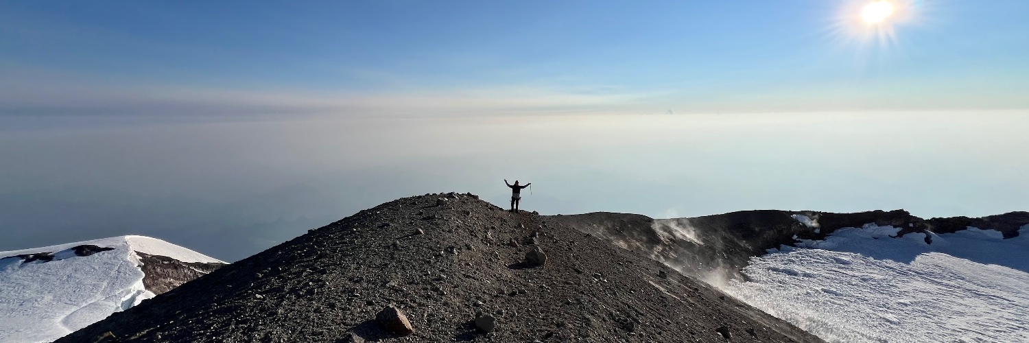
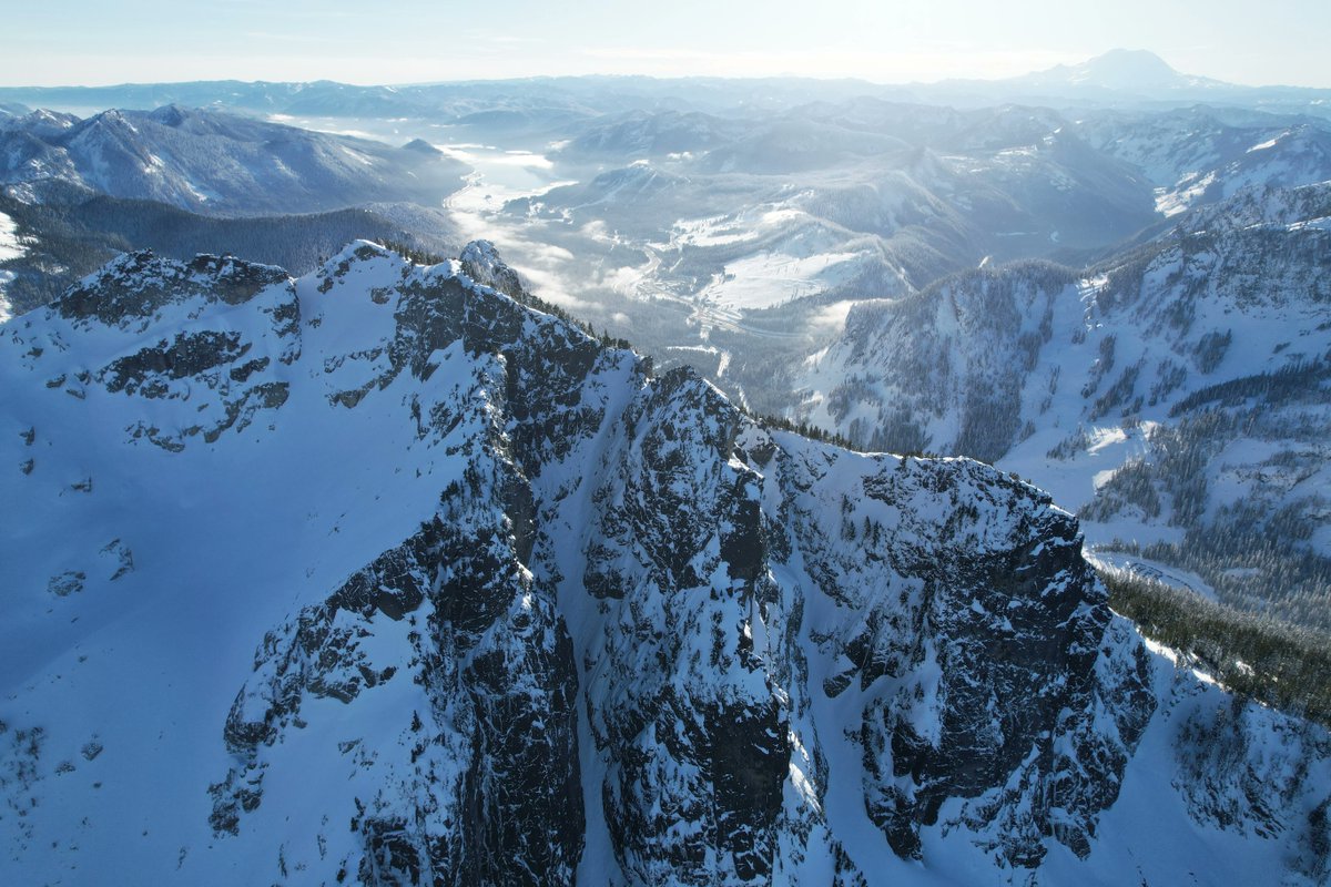
In the end, the drone ended up being far better (and cheaper!) than a plane would have been. It gave me flexibility to choose the right weather windows and unlocked the ability to capture 360º fully geo-referenced panoramas (more on that later!).
#dothingsthatdontscale
As a new backcountry skier, I was often intimidated by unfamiliar terrain. Looking at aerial imagery beforehand helped me visualize routes and gain confidence, but these images were difficult to find.
So I created Mountain View. It's like Google Street View but for mountains ⛰️
So that's what I did.
I picked up a DJI drone, five batteries, and a solar charger. Then, I drove to every popular ski zone in Washington, flying the drone directly from the car (legally!) until I collected over 100GB of images on S3.
It worked so well I went to Colorado and did it all over again.
Hey 👋 I’m Mason.
For the past three years I’ve been quietly building @backtrackmaps, aiming to create the best mapping app for outdoor adventures ⛷️🚵🏕️🧗.
Now, I’m sharing the process and progress with you. Follow along for updates and nerdy map things.
#buildinpublic
@getKonstantin I’m making this at https://t.co/tI8lbn7l3Q! We diff the bundle and assets so only the necessary bytes are downloaded and the existing bundle is patched. Compatible native versions are also tracked automatically so you can never ship a broken OTA release 🤙