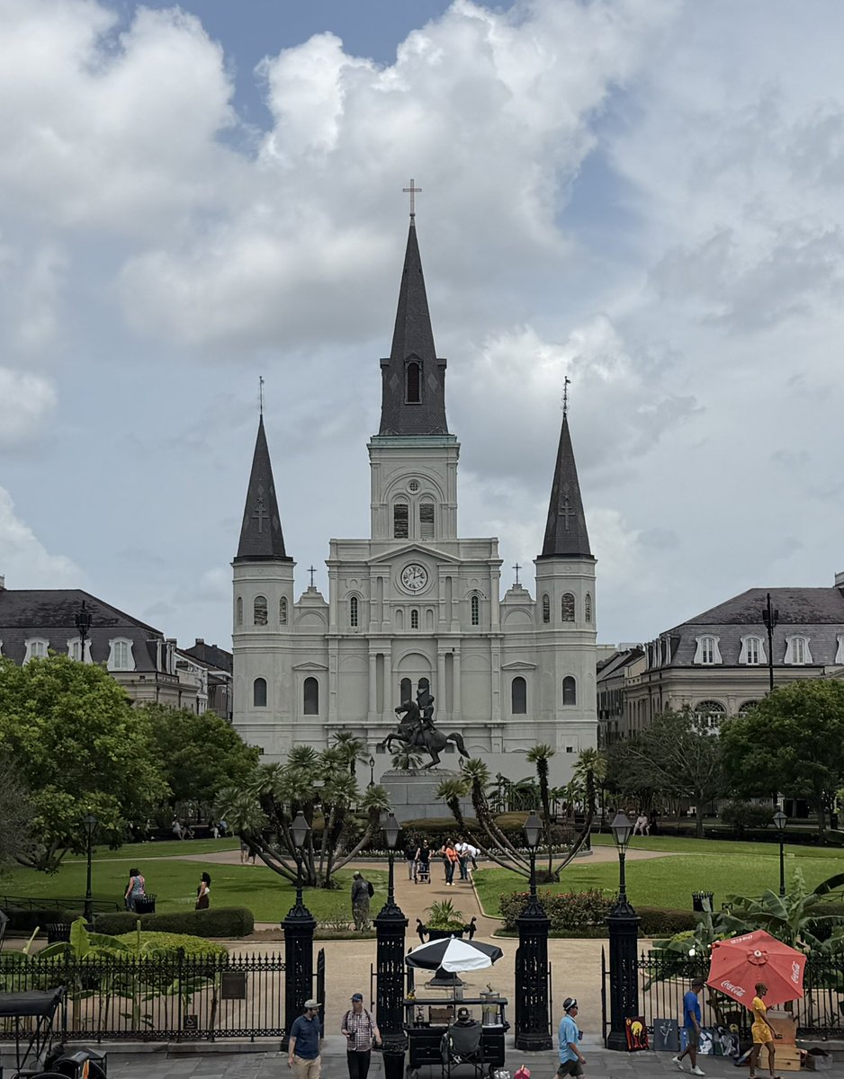
Trip to New Orleans and Mississippi this weekend for a Hurricane Season kickoff get-together. A lot of fun meeting old friends and making new ones. Thanks for the event @iCyclone! 🌀
Look how locked we were in New Orleans tonight
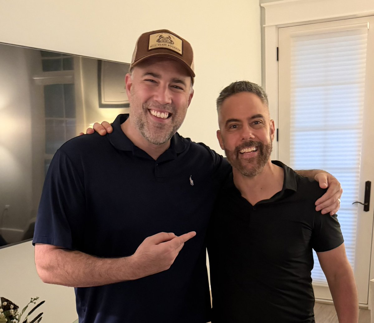
Met up with the legendary Matt Devitt on the eve of the Hurricane party
I also tried Gator Bites tonight and they tasted like Alligator
TROPICAL UPDATE: Over the past 24 hours more models have indicated *possible* development in the Gulf for Mid-June. Here are some thoughts as of Thursday Evening:
1) The Central American Gyre (top image) is basically a broad and seasonal area of low pressure that occurs over the eastern Pacific and western Caribbean that can sometimes spin-off tropical systems.
2) That's what a rising number of models are currently indicating from Google, the European Model and the American model too. Shown in the bottom image is the chance a Tropical Depression forms in the Gulf from the European Model over the next 10 days. At the moment, it stands at 40-50%. *IF* it does develop, first name in 2026 is #Arthur.
3) Bottom line...don't stress yourself out this early. Just putting the potential on your radar so you can keep tabs on it. Not fear-mongering, but informing with no hype. From here we'll look to see if the models are consistent. If they are then it will have more and more legitimacy behind it. I'll be watching it no matter what and get you the very latest 24/7.
- Matt Devitt Weather
@stantherunner You're right, Venice has been on the unlucky side. Rainfall shown below over the past week. Note Venice in the brown (drier than average) compared to those in green (wetter than average). A lot had to do with a change in wind direction. Hang in there.
DROUGHT UPDATE: Florida is going in the right direction! We continue to trim away at the deficit, with a 12% improvement over the past week with our Extreme (Level 4) Drought. 29% improvement over the past month. Let's keep it goin'!
Central American Gyre (CAG). You're likely going to be hearing about it over the next week or two. What is it? It can aid in spinning off tropical systems. More details below.
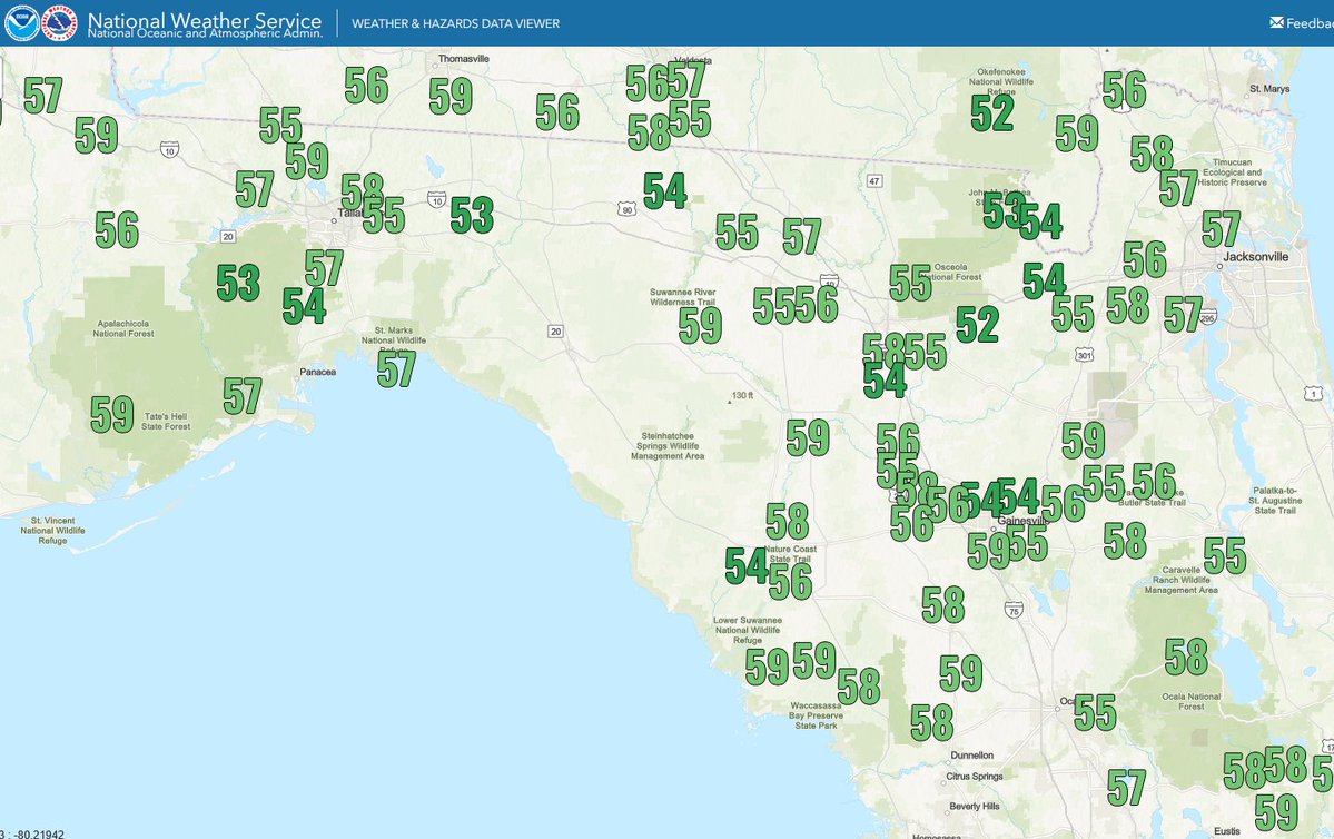
JUNE RECORD CHILL! Lows dipped into the 50s this morning across Northern Florida...*checks calendar*...in June! Record lows occurred in Jacksonville and Gainesville to name a few. Lower humidity too!
TROPICAL UPDATE: Several updates to pass along from the Atlantic to the Pacific. Here are some thoughts as of Wednesday Evening:
1) THE GULF: I'm tracking a flare-up of disorganized showers and storms. A weak low could form from that area as it heads towards Louisiana Friday into Saturday. It'll bring better rain chances to the Northern Gulf Coast, occasional gusty wind peaking between 30 - 40 mph and some coastal flooding. Tropical development chances are currently low. *If* it did try to form, it would be weak due to higher shear and mainly a rainmaker. Nothing to be concerned about.
2) THE PACIFIC: Tropical Storm Amanda has formed, 1st of the season. Will stay in open waters, not a threat to land.
3) LONG RANGE OUTLOOK: Down the road I'll be watching the Central American Gyre. It's basically a broad and seasonal area of low pressure that occurs over the eastern Pacific and western Caribbean that can sometimes spin-off tropical systems. Some models do show the possibility of development in the Western Caribbean or Southwestern Gulf towards Mid-June. If models are consistent run after run, then it will have some legitimacy behind it. Just watching for now, nothing more. I'll keep you posted with no hype, just the facts!
DRIER AIR COMING!🙌Get ready Florida for a rare June front to drop humidity later today through Thursday, Friday and this weekend! Dew points in the 50s and 60s for most across the state. Even 40s in the Panhandle! Enjoy it while we have it, this might be it for a while!
Anyone ever seen interstate-induced clouds before? Low level CU developed perfectly along major interstates around Houston this morning. Kind of shocking to see such perfectly lined up clouds. #txwx
NEW: First NHC cone of the season is out for the Eastern Pacific as TD #1 forms in open waters. First name is #Amanda, which it is projected to become. No threat to land. The tropics still remain quiet in the Atlantic.