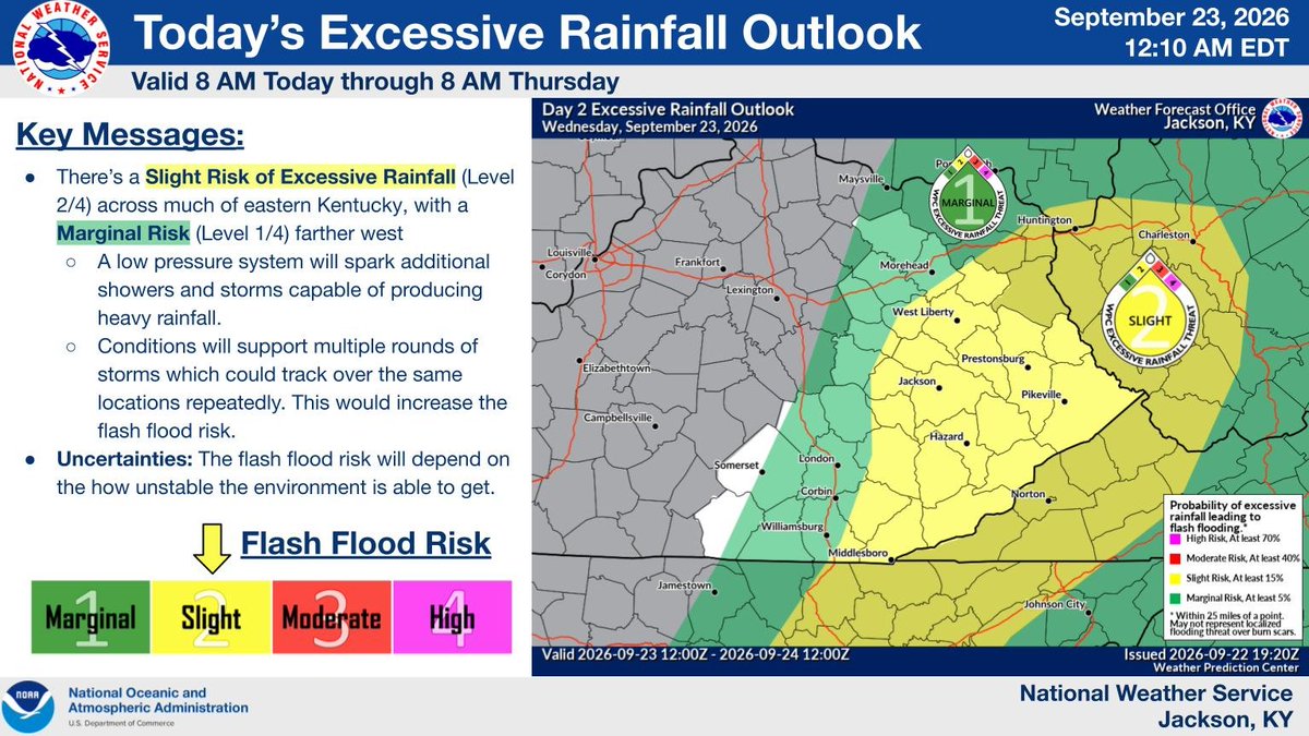
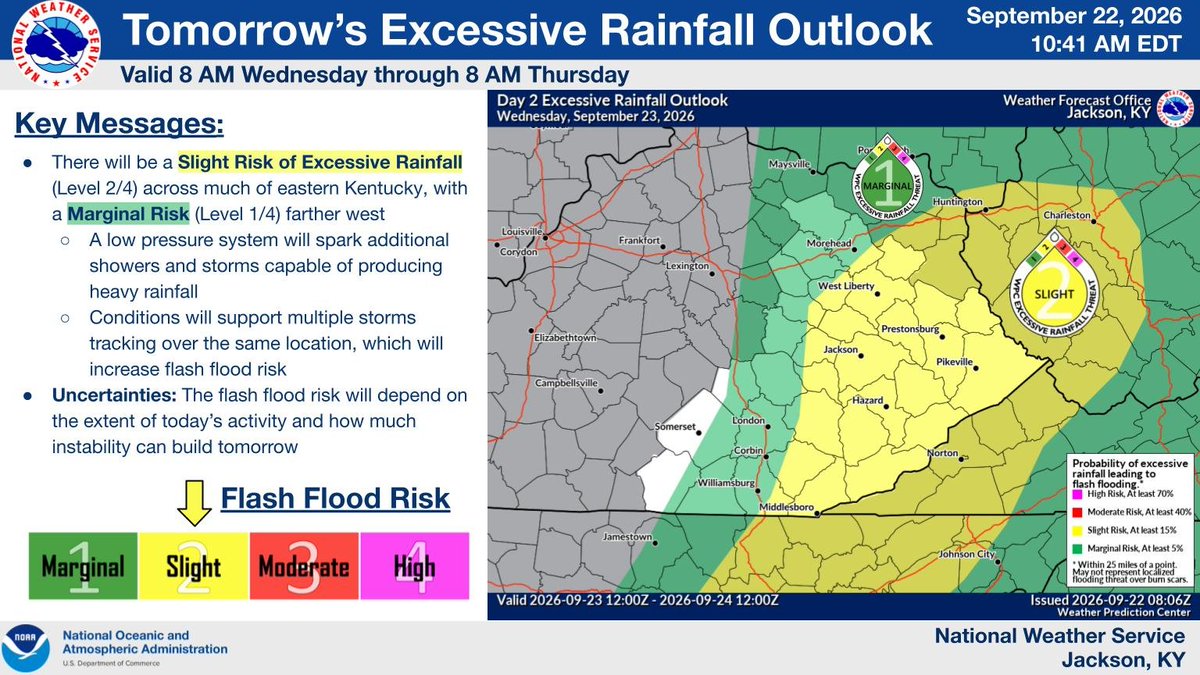
Widespread rainfall will be possible today, with a Slight Risk (Level 2/4) for Excessive Rainfall across much of eastern Kentucky. The heaviest rainfall will be capable of producing flash flooding. #kywx
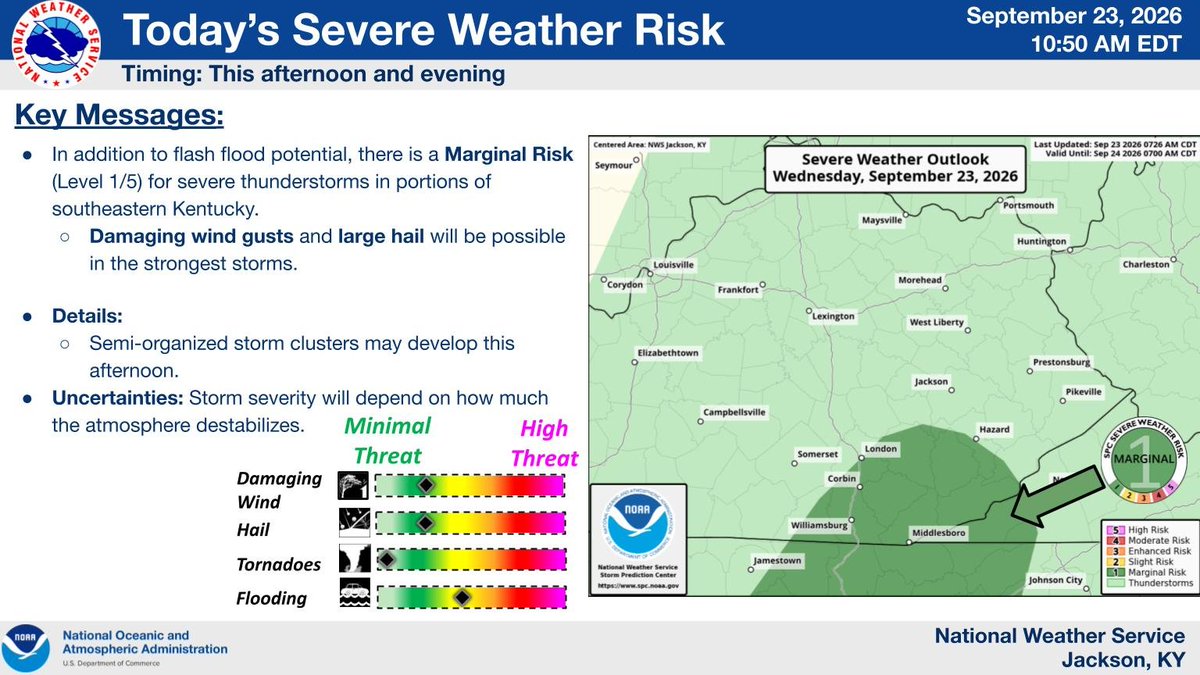
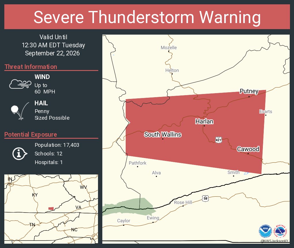
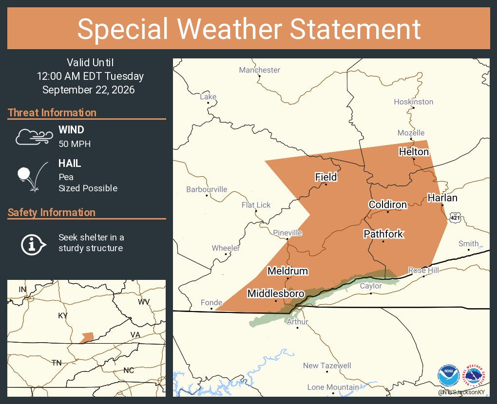
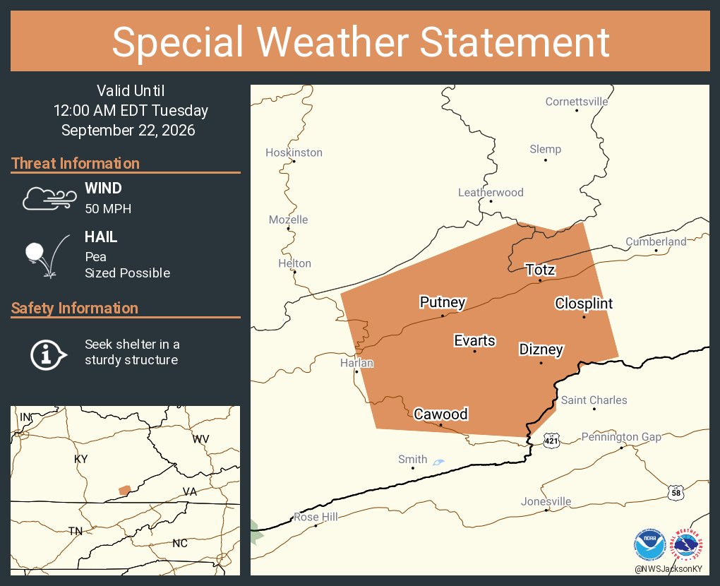
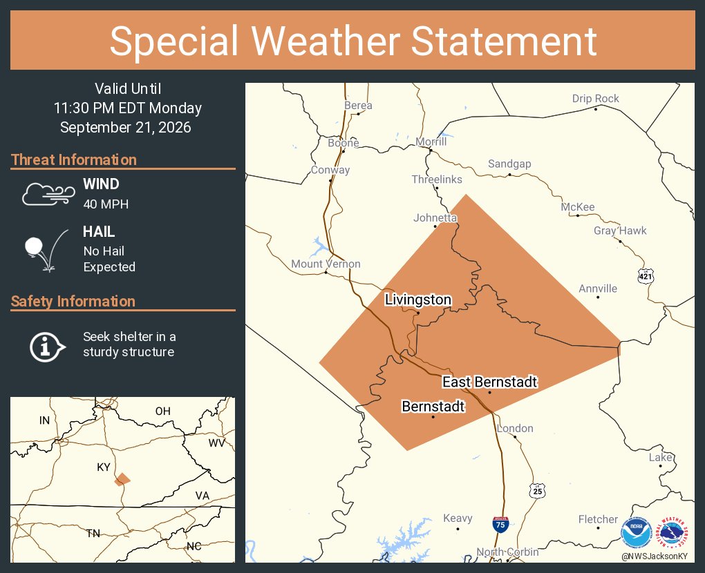
Showers and thunderstorms will be likely this afternoon and evening. The strongest storms will be capable of producing isolated instances of damaging winds and large hail before the threat diminishes overnight. #kywx
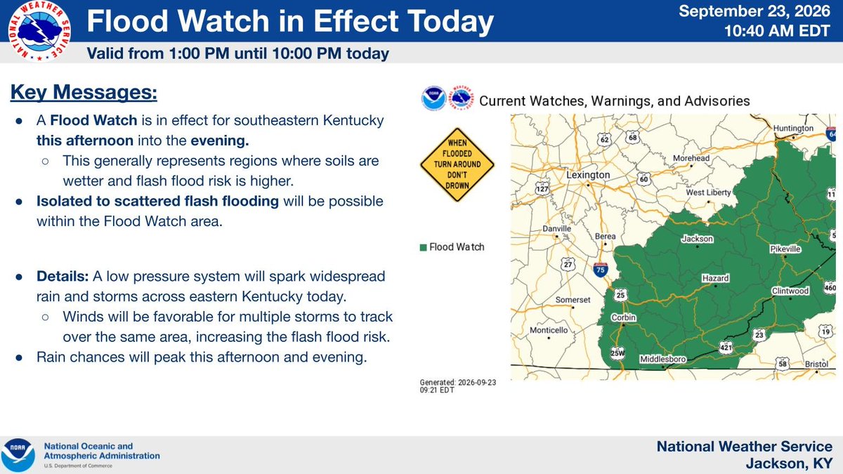
A Flood Watch is in effect for much of eastern Kentucky today. Widespread showers and storms are expected to develop this afternoon, which could lead to instances of flash flooding. #kywx
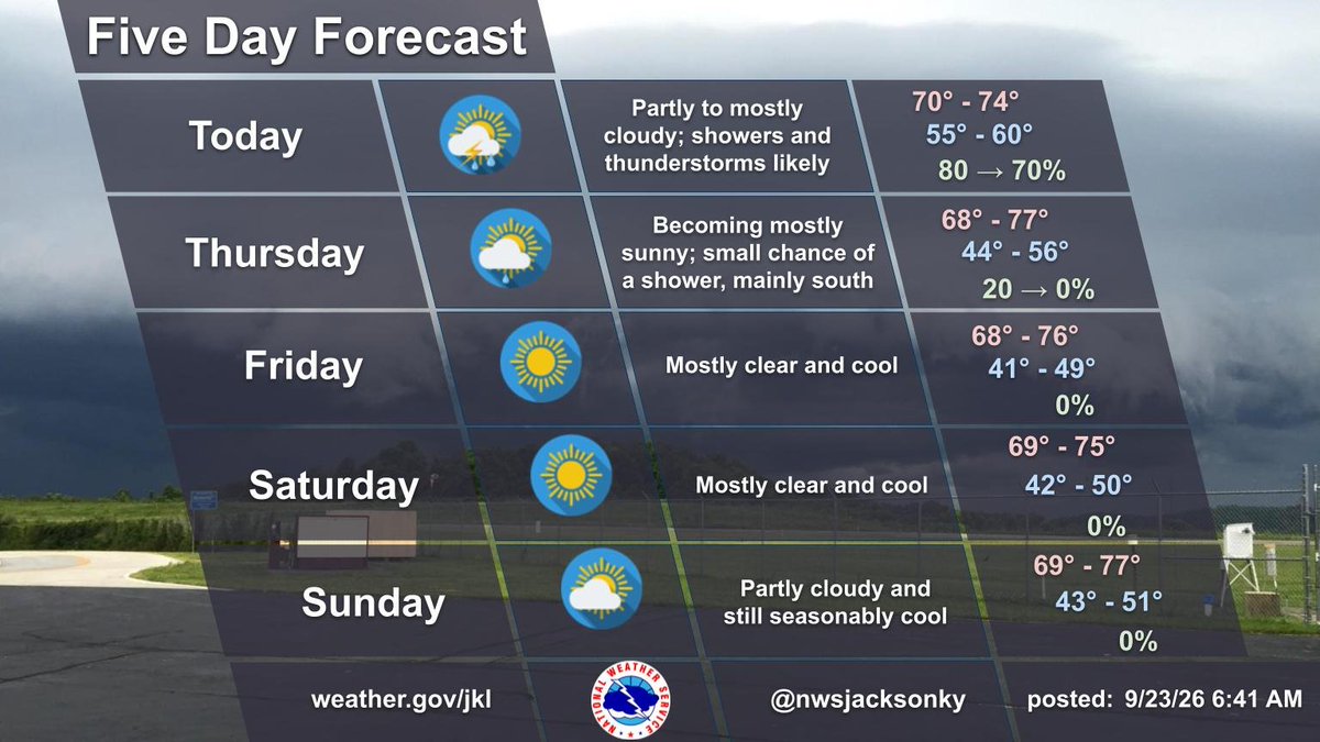
Showers & storms impact eastern KY today and tonight, bringing localized heavy rain & flash flooding risks, mainly south of Mountain Pkwy and east of I-75. Dry, cool weather arrives Thursday and persists through the weekend. #kywx#ekywx
Widespread rain is possible today, with a Slight Risk (Level 2 of 4) for Excessive Rainfall across much of eastern Kentucky. The heaviest rainfall could produce flash flooding. #kywx#ekywx
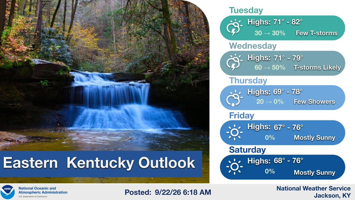
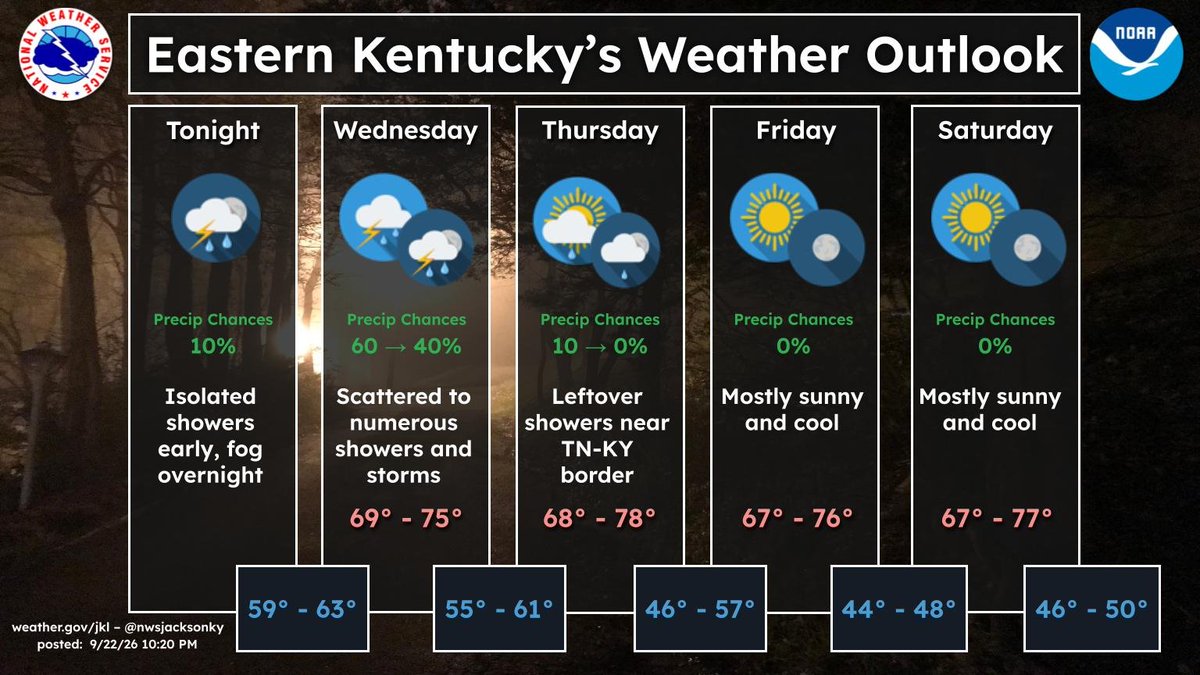
Fog will develop across the area overnight. Wednesday, scattered to numerous showers & storms will move across the area; some could be slow-moving & cause heavy rainfall. Cool & dry weather returns Thursday onward with highs in the 60s & 70s & lows in the 40s & 50s. #kywx#ekywx
More widespread rainfall will be possible tomorrow, with a Slight Risk (Level 2/4) for Excessive Rainfall across much of eastern Kentucky. The heaviest rainfall will be capable of producing flash flooding. #kywx
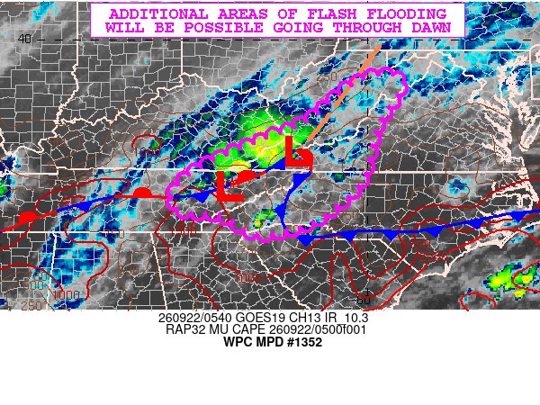
Isolated instances of flash flooding will be possible in far southeastern Kentucky today as additional showers and thunderstorms move through the area. Rain chances will be highest this afternoon. #kywx
A surface trough will linger through mid-week, keeping rain chances in the forecast, especially on Wednesday. Dry Canadian high pressure then builds in for late week with cool, autumn-like temperatures. #kywx#ekywx