Celebrate fall with a cookie decorating class at the Community Recreation Center!
In this beginner’s class, learn to decorate sugar cookies with royal icing under step-by-step guided instruction.
November 7
6:00 - 8:00 pm
Age: 21+
Register today!
https://t.co/BpbDPLeoDn
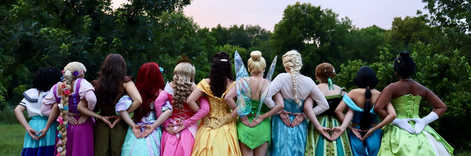
Join us at Heritage Park Performance Pavilion on June 15 from 11:00 am - 2:00 pm for kids inflatables, crafts, airbrush tattoos, and live entertainment. This event is free to all ages!
For more information visit, https://t.co/SZTJS3tR4U
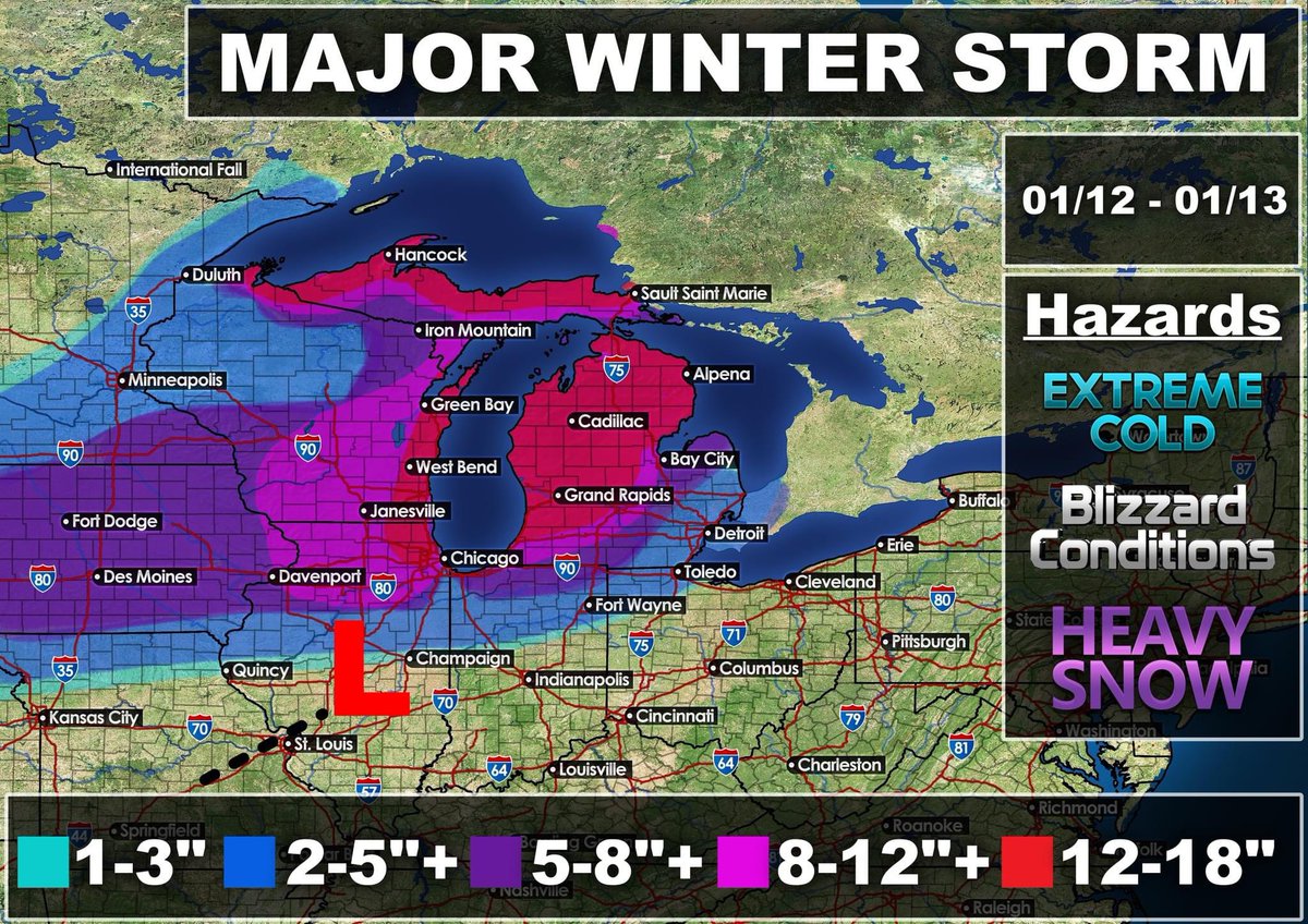
🌨️ **Major Winter Storm Alert!** 🌬️
Get ready, folks! I've just finished working on my latest snowfall forecast map for the upcoming winter storm, and it's going to be a doozy! ❄️❄️❄️ Starting tomorrow morning and lasting until Sunday, several states are in for some extreme impacts. 😱
🗓️ Mark your calendars: The main time frame for this winter blast will be from January 12th to the 14th. But brace yourselves, because the heaviest snowfall and blizzard conditions will hit during the afternoon on Friday through Saturday afternoon. 🌪️🌪️🌪️
⏳ Keep in mind that this could become a longer duration event if the system moves slowly through the Great Lakes region. But hey, at least the forecast models are all in agreement on these snowfall totals! 🤞
🏖️ Now, if you're living within 2-10 miles of the lake shore, you might catch a break with slightly less snowfall due to warm air off the lake. 🌊 But don't get too comfortable just yet — those in NE Illinois might experience lake enhancement, which could actually increase snowfall rates. ❄️🔥
🧣 So, grab your coats, scarves, and mittens! It's time to prepare for this winter wonderland. Stay safe and check back for updates as we continue to track this storm closely! ❄️❤️
More details: This system will be producing monster waves off Lake Michigan during the day on Friday that will target NE IL/E WI... But the winds will switch on Saturday out of the WNW. This will create the stage for monster waves targeting W MI shorelines. I expect 20-25 foot waves on Saturday Morning across Michigan shorelines across SW/W Michigan.
Snowfall totals can still change within last second, But the NDFD, FV3, EURO, AND GFS are in all good agreement. The higher resolution models are struggling with the lake enhancement part, But I expect that to change during the event.
I don't recommend driving during the day on Friday/Friday Night due to 45-55mph winds and heavy snow which will lead to Blizzard conditions. The wind field on this storm system is huge. The models show this system bombing out as it passes Lake Michigan. Depending on how deep the mb goes will differ snow totals/winds.
I think everyone is in for a crude awakening... Some places may even see close to 2 feet of snow.
SW Michigan has been showing strong lake effect behind this system Saturday night - Monday. This could add more snow!
#WinterStormAlert #Snowmageddon #BundleUp #StaySafe #BlizzardConditions #SnowForecast #WinterIsHere #SnowyDays #WinterWonderland #StayWarm #Snowpocalypse #SnowDays #WinterPreparedness #Snowstorm2022 #ExtremeWeather #SnowfallTotals #GreatLakesRegion #LakeEnhancement #WinterTips #SnowyOutlook #SnowfallForecast @windycityscann @CPD1617Scanner @reesetheone1@lib_crusher