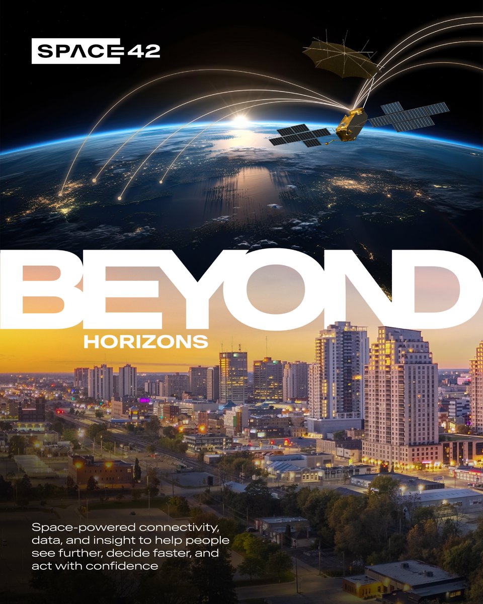
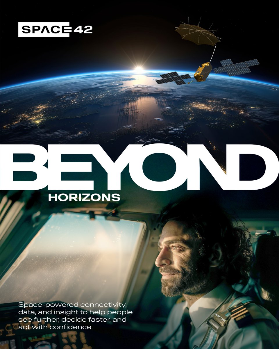
What lies beyond the horizon shapes everything that happens on the ground.
Satellite communications keep operations connected across land, sea, and air. Geospatial intelligence turns what satellites see into insight that drives action. Space42 integrates both, closing the gap between connectivity and intelligence when and where it matters most.
See what Space42 makes possible: https://t.co/U3D9Wm9wrw
#Space42 #SpaceTech #GeospatialIntelligence #Satcom
Conversations at this year's Esri User Conference offered a closer look at how the geospatial industry is evolving and the partnerships helping drive it forward.
Steven Santovasi, Vice President of Product Management at Smart Solutions, Space42, joined leaders including Jack Dangermond, President of Esri to share best practice when operationalizing location intelligence at scale and connecting Earth observation insights in real-time with commercial workflows.
Among those discussions was the collaboration between Space42, @Esri, and @Microsoft on Map Africa, an initiative that will standardize basemaps across 54 African countries and help expand access to high-quality geospatial data across the continent.
The project calls for strategic partners with a shared vision, supported by an ecosystem approach to adoption. This year's conference offered a valuable opportunity to move those conversations forward.
#Space42 #GeospatialIntelligence #MapAfrica
Search and rescue operations depend on speed, coordination, and visibility in complex environments.
Space42 integrates satellite connectivity, geospatial intelligence, and artificial intelligence to strengthen situational awareness and support real-time decision-making on the ground. This enables responders to locate, assess, and act with greater precision, even in remote or disrupted conditions.
Operating beyond horizons means extending insight where it is needed most and enabling teams to respond with confidence when every second matters.
Explore Space42's solutions:
https://t.co/QcMnRtHauk
#BeyondHorizons #SpaceTech #GeospatialIntelligence
In December 2025, Mira Aerospace conducted Europe's first High-Altitude Platform Systems (HAPS) flight under civilian operational authorization in Spain. This milestone signaled to world that HAPS technology has shifted from experimental processes to commercial deployment.
Khaled Al Marzooqi, Chief Executive Officer of Mira Aerospace, a subsidiary of Space42, examines the impact of this achievement on industries that depend on persistent, flexible coverage, in his article for The Orbit Vol. 2. He sheds light on how HAPS work seamlessly within layered systems alongside satellites and terrestrial networks, giving countries and companies a sharpened perspective of their surroundings.
Read more here:
https://t.co/R76CU37iZC
#Space42 #TheOrbit #HAPS #MiraAerospace
Building world class capabilities from the UAE means bringing the right partners together, and Europe has become a key part of this journey. Space42 is building partnerships with European companies to strengthen the UAE's position across satellite communications and Earth observation.
In an interview with Payload, Hasan Al Hosani, Chief Executive Officer of Smart Solutions at Space42, shared how the UAE and Europe each bring their own distinct strength, and how Space42 is building on partnerships with clear mutual benefits, for the long term.
Those partnerships are already taking shape. The joint venture with ICEYE is bringing satellite manufacturing to the UAE. And the agreement with Hisdesat opens the door to explore collaborative opportunities on new satellite-based services.
The impact extends beyond individual projects, contributing to a more connected and capable space ecosystem.
Read the full interview here:
https://t.co/AAabAETPVR
@payloadspace@iceye_global
#Space42 #SatelliteConnectivity #SpaceTech
Picture a hiker high in the mountains, phone in hand, far beyond the reach of a standard signal. Now imagine being able to send a message home from that spot, or trigger an SOS in an emergency, using an everyday smartphone.
Space42 and Skylo Technologies have taken a clear step towards making this real, completing successful testing of Direct-to-Device (D2D) messaging in the UAE. The test sent text messages and emergency alerts from a standard Android phone through Thuraya-4, with no extra hardware needed on the device.
With commercial rollout expected at the end of the year, this reality is drawing closer. For the millions of people who work, travel, or live at the edge of coverage, it means an everyday phone that stays connected across remote sites, open waters, and challenging terrains where terrestrial signal runs out.
Read the full announcement here:
https://t.co/uGKIKoRsS5
@skylotech
#Space42 #Skylo #NTN #DirectToDevice #Connectivity #SpaceTech
The more remote an operation is, the more it depends on seamless communications infrastructure, and Thuraya-4 was built to provide this.
Operating on the L-band spectrum, it keeps communications consistent between assets on ground and sea. This includes offshore rigs, Floating Production Storage and Offloading (FPSO) vessels, and marine fleets.
From real-time drilling coordination and predictive maintenance to emergency response and Safety of Life at Sea (SOLAS) alerts, Thuraya-4 offers the single resilient system needed.
Learn more about Thuraya-4:
https://t.co/9g9vDUNLwp
#Thuraya4 #Space42 #EnergyConnectivity
Every city runs on information and the speed at which this information flows shapes its residents' quality of life.
Connected cities use advanced public safety processes, smart infrastructure development, and coordinated response to manage an ever-changing urban environment.
Meeting these demands calls for a view that reaches beyond the horizon. Space42 delivers the integrated platform capable of powering connected cities, through its sovereign satellite communications, Earth observation, and AI-powered geospatial intelligence. This provides continuous connectivity and visibility, needed for informed decision-making.
Explore Space42's solutions:
https://t.co/i6pFEP7E8b
#BeyondHorizons #SpaceTech #GeospatialIntelligence
Direct-to-Device (D2D) connectivity is gaining serious momentum, with the market projected to reach USD 2.6 billion by 2030.
Ali Al Hashemi, CEO of Space Services at Space42, discussed this shift in a recent interview with Al Bayan Newspaper. He is also the Chairman of the Global Satellite Operators Association (@GSOA_SAT), and is a firm believer that connectivity is a human right. D2D, he says, is helping turn that vision into reality as the technology matures.
The stakes are clear when you look at the access gap. High-income markets enjoy strong 5G coverage, while penetration in low-income countries remains below four percent. This divide is driving demand for connectivity that extends beyond traditional networks.
Space42 is addressing this gap through Equatys, an upcoming joint venture with @viasat that will bring D2D connectivity to scale and extend coverage to underserved regions.
The opportunity ahead calls for shared responsibility: deploying D2D wisely, equitably, and sustainably.
Read the full article here:
https://t.co/YYMarDFMKo
في حديثه مع صحيفة "البيان"، أكد علي الهاشمي أن تقنيات الاتصال المباشر بين الأجهزة والأقمار الاصطناعية تمثل خطوة مهمة نحو جعل الاتصال أكثر شمولاً، انطلاقاً من إيمانه بأن الاتصال حق إنساني
اقرأ المزيد عبر الرابط
https://t.co/YYMarDFMKo
Reliable connectivity is a foundation for inclusion, education, and economic opportunity. In South Africa, this foundation is expanding to reach communities across the country.
Based on a Memorandum of Understanding between Space42 and South Africa's Department of Communications and Digital Technologies, Space42 has partnered with BrainSAT South Africa for the distribution of Thuraya products and the Thuraya One smartphone.
Sulaiman Al Ali, Chief Commercial Officer - Business, and Muiz Saad, Senior VP Commercial from Space42 welcomed Deputy President, Paul Mashatile as our guest of honor. He addressed the launch event, highlighting how the partnership aligns with the nation's digital transformation agenda. The collaboration advances access to services such as grant applications, identity processing, and school registrations. In education, it goes further, it opens the door to seamless online learning and virtual classrooms. In each case, connectivity becomes the bridge between a community and the opportunities once out of reach.
We extend our thanks to Deputy President Paul Mashatile and to our partners, as we look forward to taking this successful collaboration further.
#Space42 #BrainSAT #Connectivity
Synthetic Aperture Radar satellites that can see through cloud and darkness are becoming big business. In the Gulf, that market is worth up to $2 billion a year, part of a global sector expected to approach $10 billion by 2030. The real question is who will lead that growth.
In a recent @GulfBusiness interview, Khalid Al Awadhi, Senior Vice President of Earth Observation Systems at Space42, explained how the UAE is putting itself at the center of it, by owning the technology outright, building advanced satellites, and running the systems that turn their data into usable intelligence.
The interview looks at our expanded Foresight constellation, the first setup of its kind in the UAE to handle the whole process in one place: the satellites capture the images, and our own AI systems process and analyze them. That means customers get answers they can act on, quickly and at scale, rather than raw data they have to make sense of themselves.
It is a turning point in how the country takes part in the global space economy.
Read the full interview here:
https://t.co/hmhh8arwh9
#Space42 #GulfBusiness #SpaceEconomy #Foresight #SAR
Following the earthquake in Venezuela, Space42’s Foresight constellation captured Synthetic Aperture Radar (SAR) imagery of affected areas. The data provided an early view of ground conditions when debris and low visibility limited other sources of information.
The work was carried out under the International Charter “Space and Major Disasters,” a global initiative that coordinates with experts to be a key provider for Earth observation satellite data to support disaster relief organizations. It is currently led by the UAE Space Agency, with Space42 contributing alongside the Mohammed Bin Rashid Space Centre, the European Space Agency, and partners across the Charter network.
Foresight gives the Charter network a weather-independent view of affected areas when other sources of insight are limited. Complementing this, Space42’s GIQ provides geospatial analytics to support teams on the ground, enabling faster identification of damage and helping guide response efforts in the critical hours after a disaster.
Learn more about our foresight constellation:
https://t.co/ZZRgVPEFJQ
@uaespaceagency@MBRSpaceCentre@esa
#Space42 #Foresight #EarthObservation #SAR
قادت دولة الإمارات العربية المتحدة، ممثلةً بوكالة الإمارات للفضاء، أعمال اجتماع مجلس الميثاق الدولي للفضاء والكوارث الكبرى، الذي عُقد افتراضياً يومي 22 و23 يونيو 2026، بمشاركة الشركاء الوطنيين والدوليين، بهدف تعزيز التعاون وتنسيق الجهود في توظيف التقنيات والصور الفضائية لدعم أعمال الاستجابة للكوارث والأزمات الكبرى حول العالم.
وفي إطار هذا التعاون، أسهمت الهيئة الوطنية لإدارة الطوارئ والأزمات والكوارث في دعم جهود التنسيق وإدارة الاستجابة للكوارث، فيما وفّر مركز محمد بن راشد للفضاء بيانات وصور الأقمار الاصطناعية اللازمة لدعم العمليات الإنسانية. كما سا��مت شركة «سبيس42» من خلال تقديم تحليلات جغرافية مكانية متقدمة عززت من كفاءة عمليات الاستجابة السريعة واتخاذ القرار في أوقات الأزمات.
وتُعد دولة الإمارات أول دولة عربية وفي منطقة الشرق الأوسط تتولى رئاسة الميثاق الدولي للفضاء والكوارث الكبرى، في إنجاز يعك�� الثقة الدولية بالمكانة المتقدمة التي وصلت إليها الدولة في قطاع الفضاء، ويؤكد دورها المتنامي كشريك دولي فاعل في توظيف التقنيات الفضائية لدعم الجهود الإنسانية والاستجابة للكوارث حول العالم.
The UAE, through the UAE Space Agency, led the International Charter: Space and Major Disasters meeting, held virtually on June 22–23, 2026, bringing together national partners to strengthen international collaboration in leveraging space technologies for disaster response.
@NCEMAUAE supported disaster coordination efforts, while the @MBRSpaceCentre provided satellite data and imagery. @space42ai contributed advanced geospatial analysis to support rapid disaster response operations.
The UAE is the first Arab country and the first in the Middle East to assume the presidency of the International Charter: Space and Major Disasters, reflecting international confidence in the country's leadership and its growing role in leveraging space technologies to support humanitarian and disaster response efforts worldwide.
When an aircraft descends into a remote area on a search and rescue mission, the radio goes quiet first. Terrestrial coverage fades when it matters most, and that is the gap Thuraya-4 was created to close.
Built on L-band resilience and a single-hop Geostationary Earth Orbit (GEO) architecture, Thuraya-4 keeps aircraft connected far past where terrestrial signals reach. Command and control, live position data, and mission coordination stay sustained from departure to landing, taking aviation operations beyond horizons that once defined the limits of connectivity.
Learn more about our aviation capabilities at the link below:
https://t.co/i6pFEP7E8b
#BeyondHorizons #SpaceTech #Space42 #Aviation