CAWSC Followers: In light of some “positive” changes with USGS social media, we will now be posting our stories to the main @USGS X and other accounts. Please go to the USGS social media page and follow these. This account will be active temporarily but will soon be taken down.
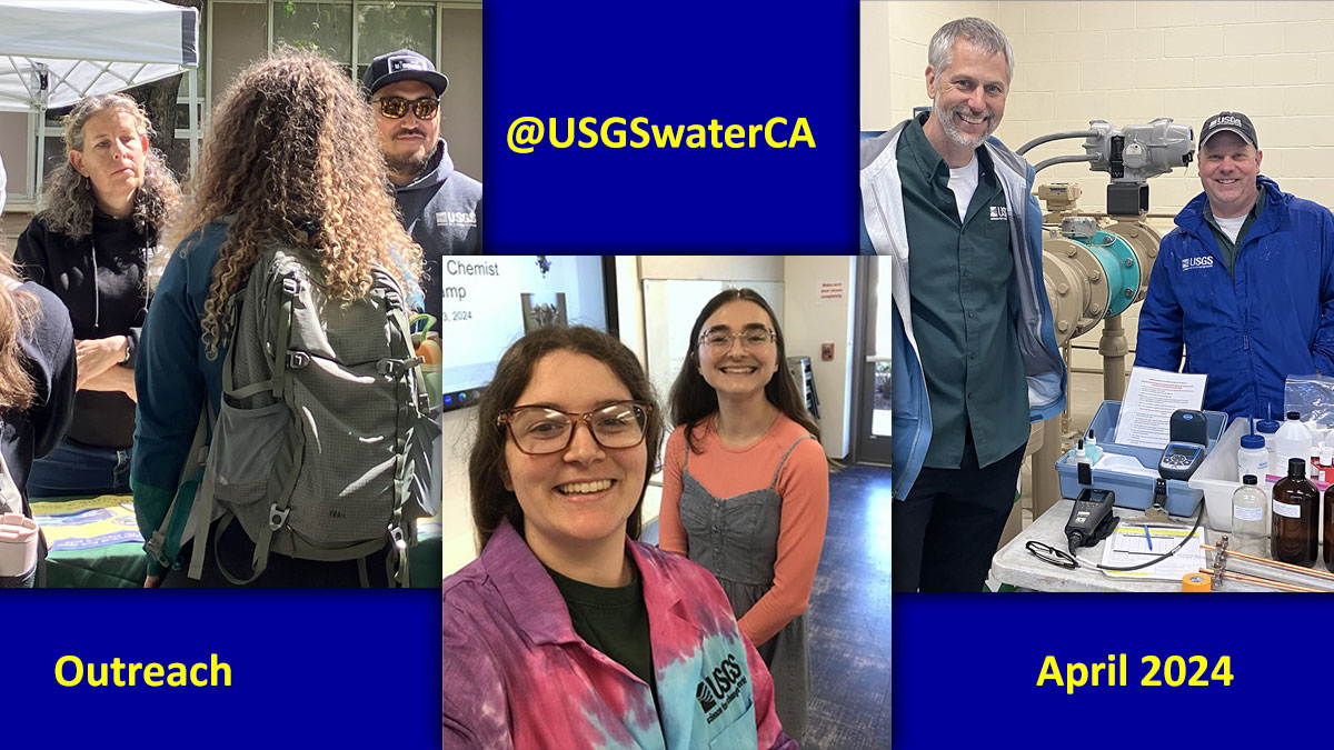
Outreach is afoot this month at @USGSwaterCA. A soil scientist and hydrologic technician met students at a @UCDavis intern fair. Scientists presented at the @SMUD_MOSAC "Curious Chemists" camp. Water quality hydrologists discussed groundwater at a @WaterEdFdn tour. #USGS#stem
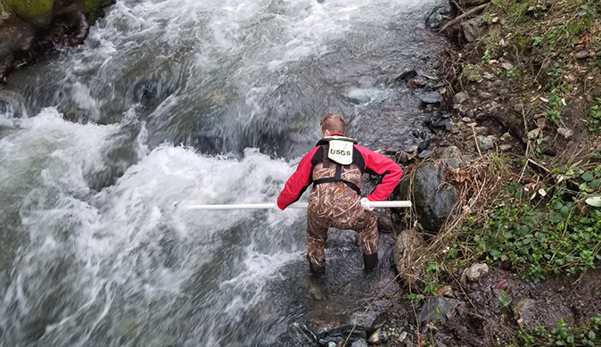
A USGS research crew member is shown collecting water samples from Flea Valley Creek as part of an effort to understand the impacts on water quality caused by 2018 Camp Fire in Paradise, California. #wildfire#californiawildfires#environment#usgs
More: https://t.co/swedhSxOh9
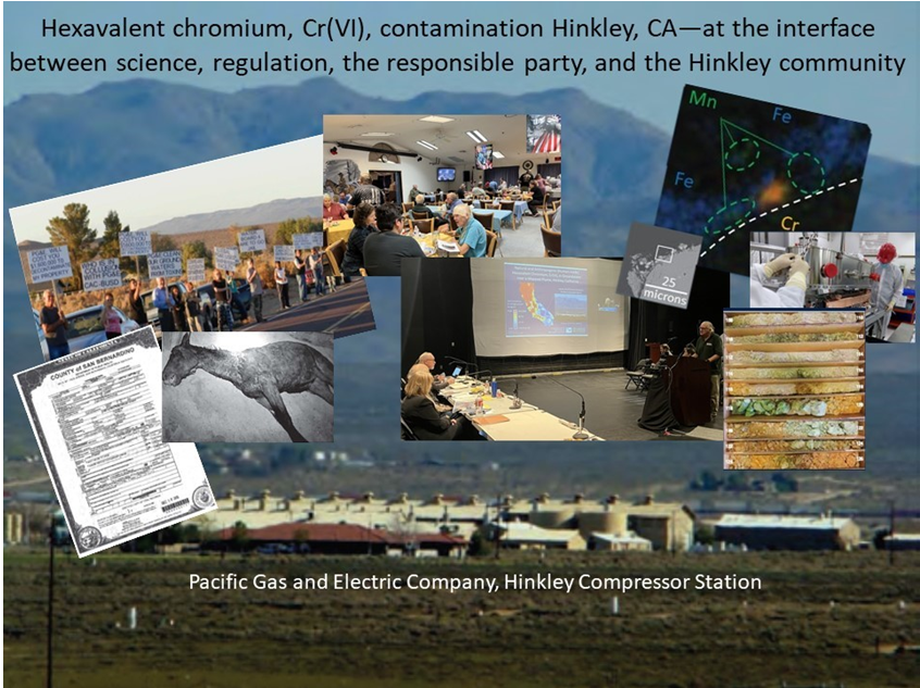
Tuesday February 6th at 4:30pm Pacific Time, join a community discussion on Hinkley: Hexavalent chromium, Cr(VI), Hinkley, CA--at the interface between science, regulation, the responsible party, and the Hinkley community. https://t.co/2YL3lgyqsW
Watch live camera footage of USGS stream gage #11160500 San Lorenzo River at Big Trees in Santa Cruz, California. Water passed 14-feet mark last night. https://t.co/1TBpOEApXa
USGS Scientists say pesticides are likely impacting invertebrate life essential to our nation’s streams. Providing science for a changing world, the USGS showcases the nationwide study that led to this conclusion in their latest news release. https://t.co/SmAfX5wBdm
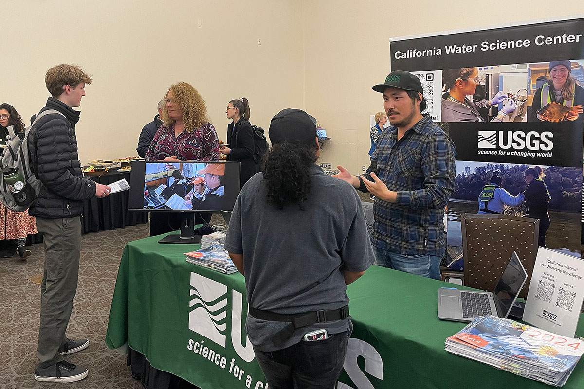
On Jan. 18th, the UC Davis Program of Environmental Policy and Management (@ucd_epm) held its Winter Job Fair. At the event, CAWSC Director, Anke Mueller-Solger, and Hydrologic Technician, Lawrence Fujiwara, answered questions about the #USGS California Water Science Center.
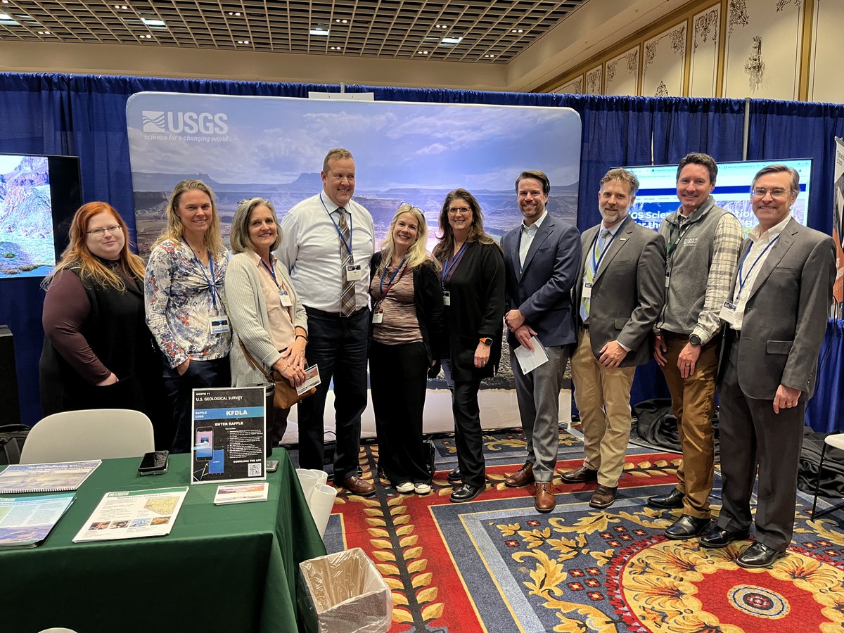
It's an exciting start to #CRWUA2023! Mike Brain, DOI Deputy Asst Sec for Water & Science (4th from R), stopped by to talk #ColoradoRiver#science.
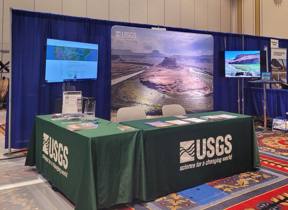
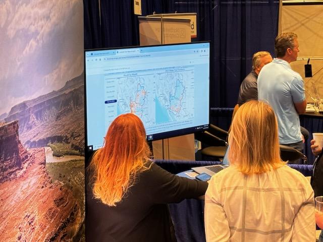
Don't miss out! Swing by Booth 11 at 10:30am & 2:45pm for a demo of—& give your thoughts on—a new USGS science collaboration portal.
Hey, #CRWUA2023 attendees! Looking to explore the latest #ColoradoRiver Basin science? Swing by Booth 11 in the Exhibit Hall to learn about the latest in USGS #drought science and our exciting new collaboration portal.
Our photo was selected by a panel of judges for the Federal Lab Consortium calendar. The Pesticide Fate Research Group photo by Laura Ward will represent the Department of Interior. You can order one for your wall for free https://t.co/BR3KCLz40r
💡#MethodsMonday Researchers @USGSwaterCA worked with Timberline Instruments to develop a continuous ammonium analyzer. Seen here is the 1st generation of the instrument deployed on a research vessel in the Sacramento-San Joaquin River Delta in California, USA.
🧵see link
(1/2)
💡#MethodsMonday Researchers @USGSwaterCA worked with Timberline Instruments to develop a continuous ammonium analyzer. Seen here is the 1st generation of the instrument deployed on a research vessel in the Sacramento-San Joaquin River Delta in California, USA.
🧵see link
(1/2)
In Oct. the USGS held a workshop at the CSUS Expanding Your Horizons Conference. The conference encourages middle school girls in STEM education. The workshop was called Dive into the Bay-Delta. There was also a table where girls could learn about USGS careers.
#stem#usgs
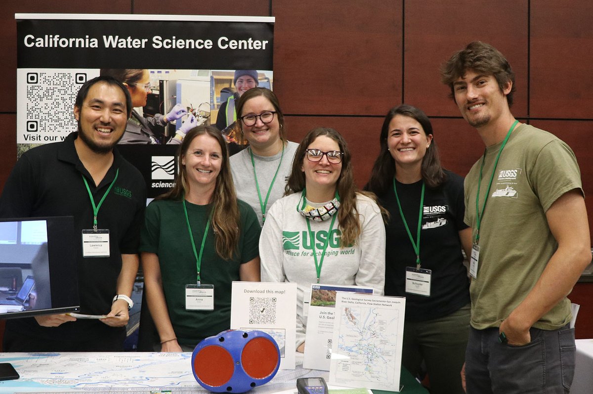
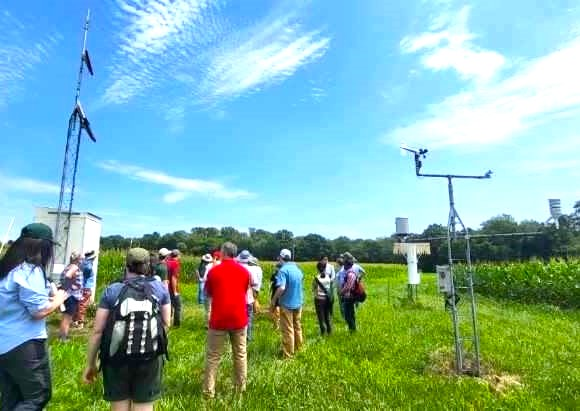
A few of our scientist participated in the recent 2023 National Soil Moisture Workshop to support USGS science in monitoring and modeling soil moisture to improve runoff forecasting and drought characterization.
📷 #FieldPhotoFriday#science
🔗More ➡️ https://t.co/9Yrxh8xOAJ
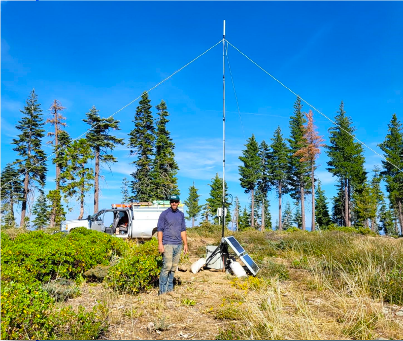
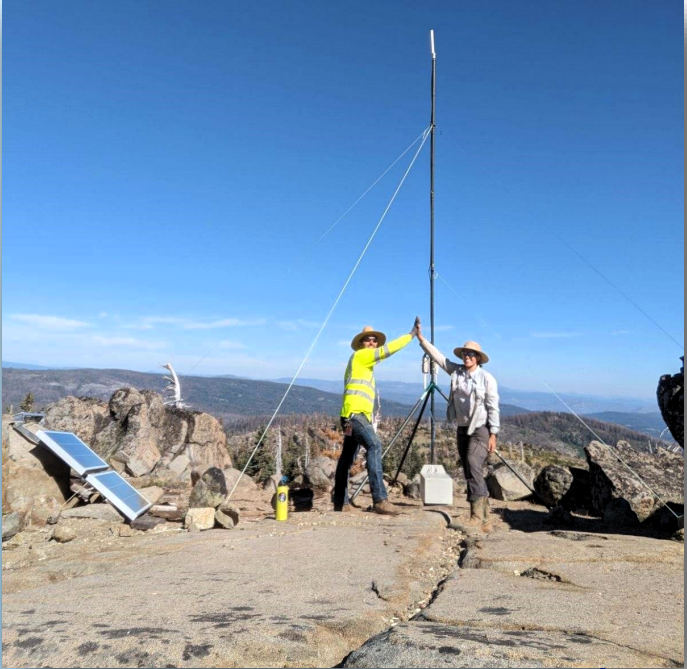
@bdgroves@USGS@Interior Thanks for your interest! Typical range for LoRa radio is about 15-25 km line-of-sight depending on what type of antennas we use. These LoRa radio towers will be reinforced and the solar panels will be mounted up high to keep from getting buried by snow. .@USGSwaterCA
USGS Scientist installed LoRa sensor network that uses long-range technology to connect with cellular & satellite uplink sites within Plumas National Forest for the Drought & Soil Moisture Monitoring project in the Feather River Basin.📸#FieldPhotoFriday
🔗https://t.co/UqCLHJ9S7b
[PUB] How USGS Gages Are Used in Flood Forecasting - The USGS operates an extensive nationwide network of stream, rain, and groundwater gages. These instruments are used to monitor how much water there is across the Nation.
➡️ https://t.co/iDeXbgBOev #NationalPreparednessMonth
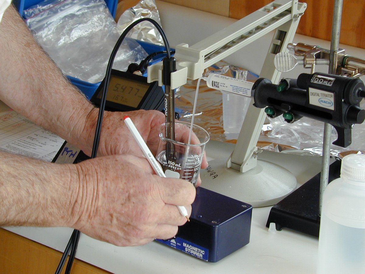
As we come towards the end of August for #NationalWaterQualityMonth, find out what "alkalinity" is and why it's important for water quality here: https://t.co/cVpCJwptzM
#WaterWednesday


![USGS's tweet photo. [PUB] How USGS Gages Are Used in Flood Forecasting - The USGS operates an extensive nationwide network of stream, rain, and groundwater gages. These instruments are used to monitor how much water there is across the Nation.
➡️ https://t.co/iDeXbgBOev #NationalPreparednessMonth https://t.co/JfmU8er2vA](https://pbs.twimg.com/media/F5bO0nAWEAAbxGw.png)