Veined Mississippian-age limestone deformed by Cretaceous Sevier orogeny folds and faults at Black Mountain, Salt Lake County. In the distance, Paleozoic sandstone & limestone fins stand tilted over 90° by tectonic forces. Photo by: Zach Anderson
#utahgeology
Cretaceous-age conglomerate deposited during a mountain-building episode 75 million years ago. Maple Canyon, eastern San Pitch Mountains, Sanpete County, Utah.
Photographer: Don Clark
#utahgeology
Formed 25–30 million years ago, Alhambra Rock is a striking volcanic plug in Utah. Early Spanish travelers named it after Granada's famous Moorish castle. https://t.co/QfZxYeIaHn #geosight#utahgeology
Utah’s oldest rocks formed during the Precambrian, a time in Earth’s history that occurred 4,600 to 540 mya and was characterized by simple, single-celled organisms before the “Cambrian Explosion” of complex organisms around 540 million years ago. https://t.co/WdmfeeryyC
Photo of the Week: Clam trace fossils on a fallen sandstone block of the Brushy Basin Member of the Jurassic-age Morrison Formation. San Rafael Swell, Emery County. Photo by: Don DeBlieux
#utahgeology
Adam McKean and Christian Hardwick co-authored a new publication: "Bedrock Offset Across the Wasatch Fault in Salt Lake City, Utah, From Teleseismic Converted Phases and Its Geologic Implications". Read more here: https://t.co/BkaCD2d7Bs
#utahgeology
Explore "The Witches" near Echo, Utah—a fascinating cluster of reddish-brown rock formations that resemble a coven of witches in long robes and pointy hats. Discover the geological story behind these natural monuments in this GeoSights article. https://t.co/q4IPQ0Mh6r
Photo of the Week: Waterpocket Fold, Capitol Reef National Park, Garfield County
Photographer: Don DeBlieux
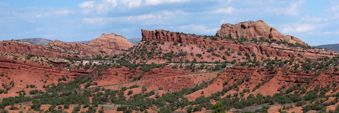
Multicolored rocks of the Triassic-age Moenkopi and Chinle Formations make up the slopes below the capping cliffs of Jurassic-age Wingate Sandstone. #utahgeology
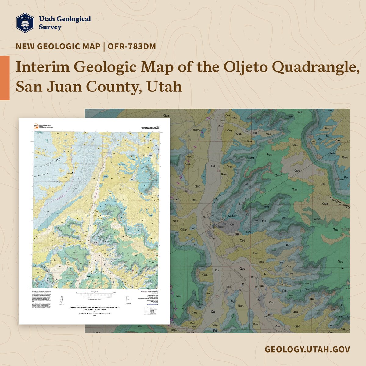
In partnership with the Navajo Nation, we’ve published a new geologic map of the Oljeto 7.5’ quadrangle! This marks our first-ever formal geologic mapping within the Navajo Nation, designed to support critical groundwater management.
Read more: https://t.co/WODdaX10Ly
Utah’s Colorado Plateau is home to the densest concentrations of natural arches found anywhere in the world. You may have asked, “What about Utah and the Colorado Plateau makes natural arches so prevalent?” Learn more in this Glad You Asked article–https://t.co/tW7CsCZhm0
How much water does invasive Phragmites use around Great Salt Lake?
A new UGS study directly measures evapotranspiration in Farmington Bay using an eddy covariance flux tower, providing precise data for Great Salt Lake water budgets and management.
Read: https://t.co/22WXbjpCTR
Photo of the Week: Little Cottonwood Canyon
By Adam McKean
Dramatically folded Precambrian shale and quartzite of the Big Cottonwood Formation contrast with light-gray Tertiary granite on Twin Peaks.
#utahgeology
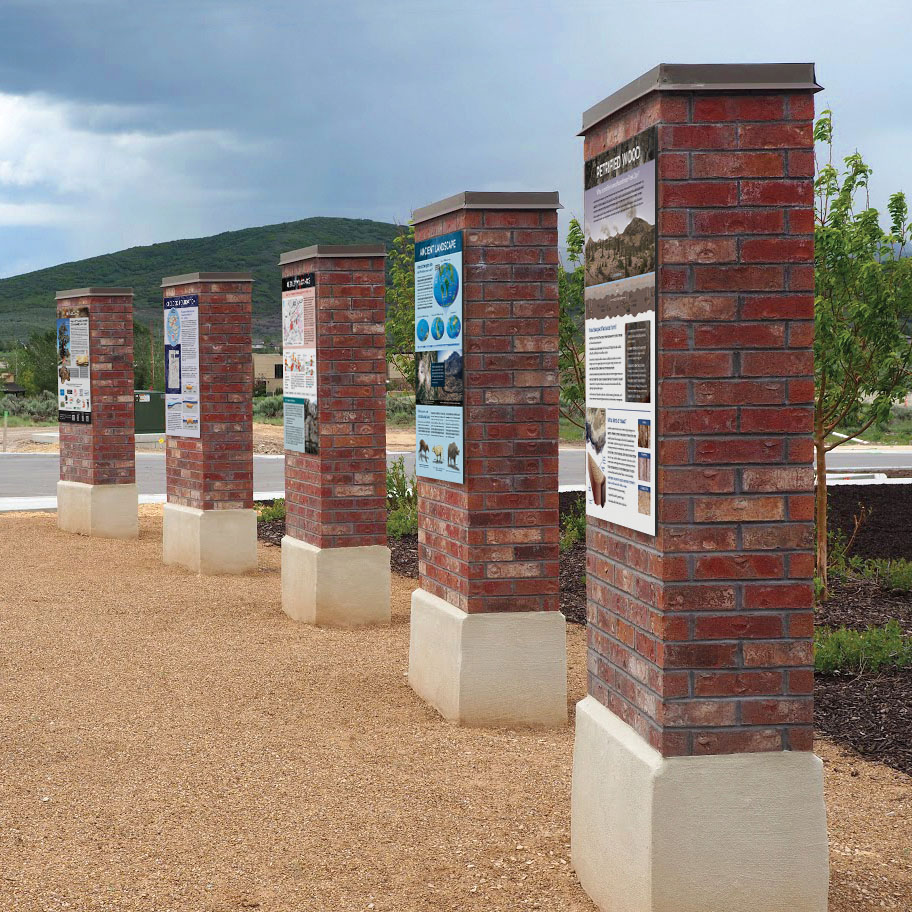
The Park City Sunrise Rotary Regional Geologic Park showcases 4.5 billion years of Earth history, including 35-million-year-old petrified wood, brought to life through decades of community collaboration. Learn more about this Utah GeoSight:
https://t.co/huKKSrXzsz
#UtahGeology
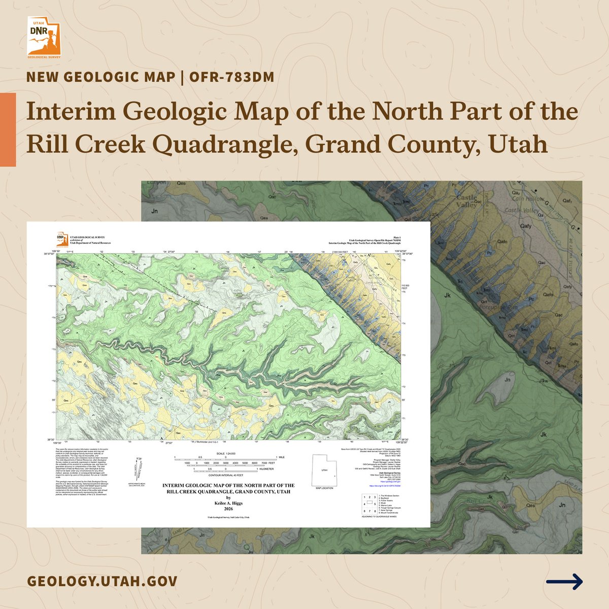
New Geologic Map: Interim Geologic Map of the North Part of the Rill Creek Quadrangle, Grand County, Utah: Utah Geological, by Keilee A. Higgs, 7 p., 2 plates, scale 1:24,000, OFR-783DM. See publication details at: https://t.co/iG3ahSZdvy
#utahgeology
Photo of the Week: Silver Glance Lake, Utah County
Photographer: Elisabeth Stimmel
Sitting at 9,000 ft in the Wasatch Range, this alpine lake was carved by glaciers into the Oligocene-age Little Cottonwood batholith. #utahgeology
Photomicrograph of limestone from the Eocene-age Green River Formation showing small ostracod shells surrounding and filling larger gastropod fossils. Uinta Basin Photomicrograph by Michael Vanden Berg. #utahgeology#greenriverformation
Planning a trip to Palisade State Park? This scenic spot offers stunning views of ancient landscapes at the meeting point of the Basin and Range and the Colorado Plateau. Learn more in this GeoSights article: https://t.co/XSEQBMIslU
#utahgeology#geosights
Rainwater gathers in Navajo Sandstone weathering pits at Red Mountain Wilderness, creating tiny aquatic ecosystems in Jurassic rock.
Photographer: Jim Davis
#utahgeology
How does Kings Peak (13,528 ft) stack up against other U.S. highpoints? Learn how Utah’s highest peak relates to the unique east-west trend of the Uinta Mountains in our #GladYouAsked article: https://t.co/2Du2l7NNl8
#utahgeology
We are hiring!
The Geologic Mapping and Paleontology Program at UGS is looking for a full-time, permanent Preparator – Field Paleontologist to help document, preserve, and promote Utah’s vast paleontological resources.
Learn more and apply by 8/6/2026: https://t.co/vEaG3OyGi5