Ag is drowning in equipment telemetry, satellite imagery, soil health, and weather data. Collecting it was never the hard part. Making it usable is.
We broke it down with Leaf and Felt on Ag Tech Talk. Thank you @AgBusinessMedia for having us!
https://t.co/DGHoc7tZcG
EU methane deadlines hit in 2027. Energy teams have months, not years, to prove they're monitoring every site they operate. Watch an agent find every flare across a year of sites and attribute it to an asset, live. Join us on July 15: https://t.co/lE5LAM98Eb
Iceberg got native geometry support in v3. Add a geometry column and the standard optimization playbook breaks. No natural sort order means unsorted files can't be pruned, so a selective spatial filter quietly turns into a full table scan. How to fix it: https://t.co/NMB5ZEmpmX
Screen agricultural parcels across Texas, Arizona, and Nevada for utility-scale solar siting. All in Claude Code, starting from a prompt. See it live on June 10th. https://t.co/UuRFOPt6nk
We used RasterFlow to run Meta's SAM3 against 133 GB of NAIP satellite imagery. 312,000 building roof detections later, we asked: are these any good? Get the full breakdown: https://t.co/h3aD7VZCtO
We built a GEOINT Critical Infrastructure Vulnerability pipeline on real Overture Maps data in days instead of weeks. The Wherobots MCP server is what made the timeline possible. Full write-up: https://t.co/SF4jwsIPSo
Spatial jobs from anywhere Python runs: CI/CD, notebooks, your local shell. One install, one API key. No AWS credentials.
pip install wherobots-python-sdk
https://t.co/FCY6YHKCdh
Can AlphaEarth Foundations embeddings preserve interpretable structure after aggregation from pixels to field polygons? We used RasterFlow to build the mosaic and vectorized predictions, then an experimental zonal-stats step computed field-level means. https://t.co/0eNl5mwBpj
Can you score each annual AlphaEarth Foundations embedding by how much it stands out from the rest of its local time series?
We tried it on the global AEF Zarr mosaic (via Source Cooperative), scoped to Colorado.
Leave-one-out medoid + robust z-scoring. https://t.co/aeffpYcHqL
Which vacant Opportunity Zone parcels are 2+ acres, outside flood zones, within a 15-min drive of a hospital, and near amenities? We're answering live across Austin, Dallas, and Denver in one pipeline via Wherobots MCP server. Join us: https://t.co/JARvP3K7fh
Wherobots is hiring.
AI Context Engine for the Physical World. Fuse overhead imagery with vector geometries and reason about space, time, and geography at planetary scale.
Open roles:
- GeoAI Engineer
- Cloud Infra
- Enterprise AE
https://t.co/x0wwMHIm9k
We added Meta's SAM 3 to RasterFlow. Text prompt in, vector geometries out, no custom model training needed. We tested it on 133 GB of NAIP aerial imagery. Full pipeline ran in under an hour.
Get the full breakdown: https://t.co/q60UQAm2tz
Not every data platform was built for spatial workloads. We broke down 6 platforms, PostGIS, Snowflake, Databricks, BigQuery GIS, Apache Sedona, and Wherobots, so you know where each one fits and where it hits its ceiling. Full breakdown in the blog. https://t.co/WLk8Rxm3GL
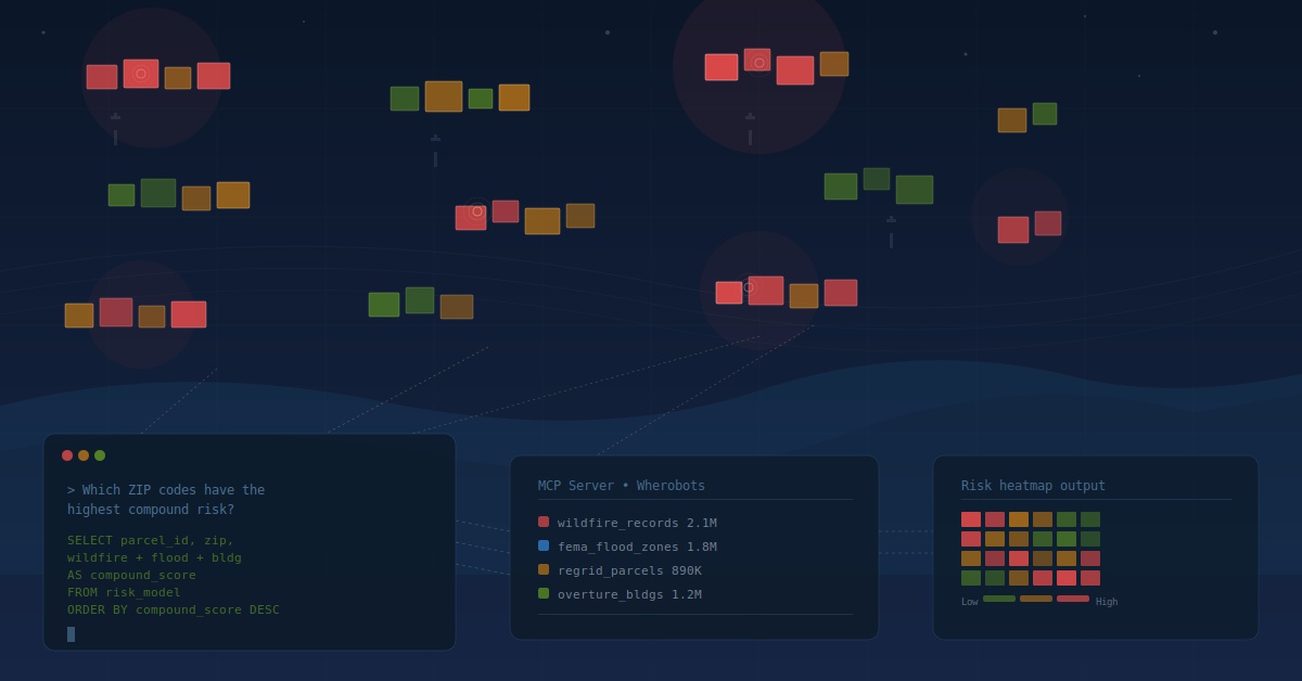
Which properties in your ZIP codes carry the highest compound climate risk? We're answering this live on 4/29. Wildfire, flood, and building risk scored across thousands of properties, built in front of you, all from VS Code. Come see how it works: https://t.co/xowwpliLLF
Fields of the World (FTW) is a Taylor Geospatial effort to build globally consistent agricultural field-boundary data. For the 2024-2025 release, they partnered with Wherobots to run their latest model, PRUE, on RasterFlow. Read about it here: https://t.co/3GeTycsi1W
Most spatial data teams try to solve their entire pipeline with one tool. That's where the problems start. The Spatial Medallion Architecture uses Wherobots for heavy processing and PostGIS for fast delivery. Each tool does what it was built to do. https://t.co/Y5Mr8NV1Pe
Until Iceberg v3, geospatial columns didn't exist in the table format. Engineers stored geometry as binary blobs. No CRS metadata. No bounding-box statistics. Fragile, and it didn't travel across engines. Iceberg v3 fixes that. Get the full story: https://t.co/TiWARtYFDT
Buildings. Vehicles. Solar panels. Crop fields.
You describe what you want to detect in a text prompt and SAM3 finds instances across your imagery. No model training. No infrastructure to manage.
See RasterFlow + SAM3 live on April 22: https://t.co/UVLqFELESg
EO embeddings have a lot of excitement around them. But storage costs, unclear fitness for use, and no shared benchmarks are still unsolved.
Takeaways from the Geospatial Embeddings Workshop at Clark University: https://t.co/qL6q7nhrsr
We just shipped three tools to bring AI-first spatial data workflows into VS Code, Cursor, Claude Code, and Kiro! Describe the problem. Get working code and real results back. https://t.co/ZsR2Zb58Ts