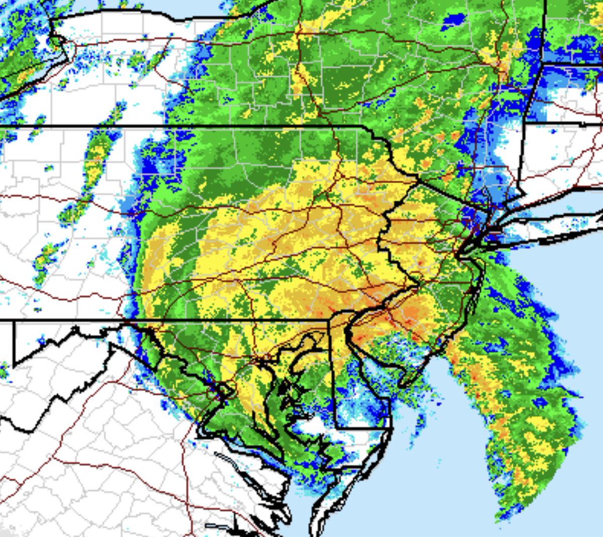
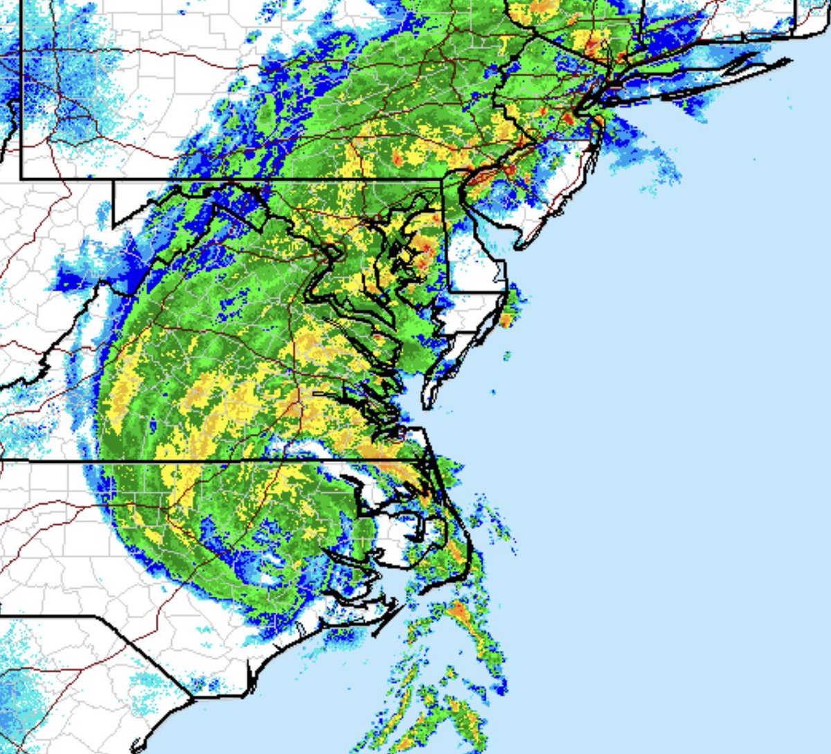
The #Isiais eyewall is now beyond DC which means the worst is behind our forecast area. Within the next several hours, the rain will stop and skies will begin to clear up.
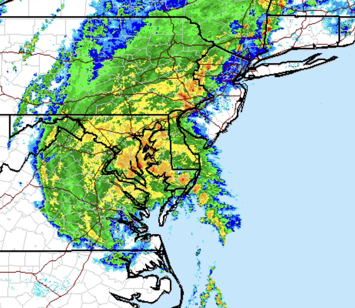
#Isiais approaches our area and it looks like the center will pass to the east of DC. The strongest and most dangerous winds are in the north east quadrant of a #cyclone, so coastal #Maryland and #Delaware will get the worst of this.
#Isais is now centered over North Carolina and the large band of wet weather will cover our area most of today as it heads northward and weakens. Watch for thunderstorms and tropical storm conditions.
We will all see some type of tropical weather from what is currently Tropical Storm Isaias. The storm will arrive in the area by Tuesday morning producing a lot of rain in less than 24 hours, although the forecast will likely change between now and then. Stay tuned to @Accuron.
#Hanna has just become the first #hurricane of the 2020 Atlantic season. Southern coastal #Texas should expect hurricane conditions into Sunday afternoon.
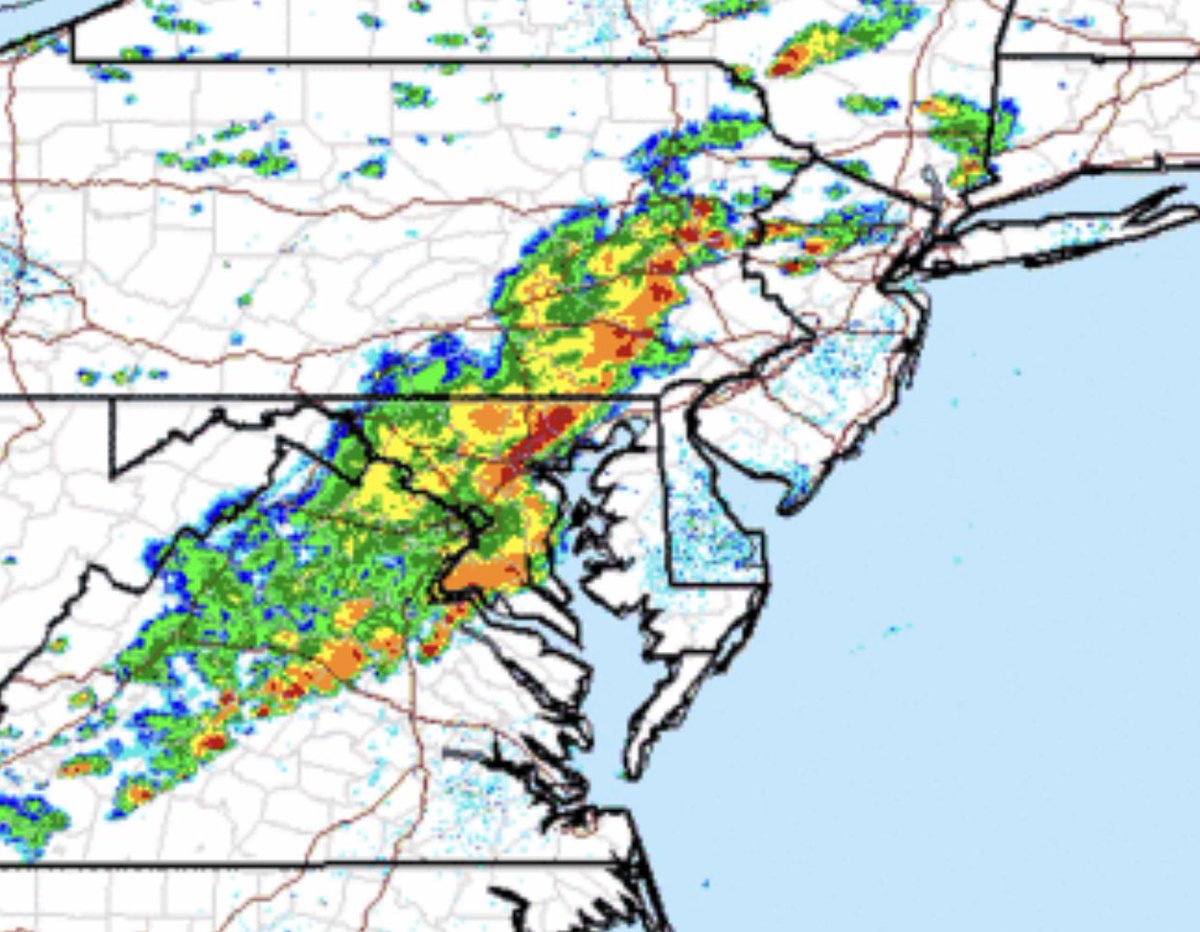
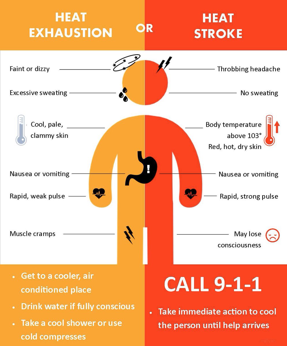
Heat index up to 103 both today and tomorrow. Watch for scattered thunderstorms, damaging wind, heavy rainfall, and flash flooding tonight through tomorrow. #WeatherUpdate#weatheralert