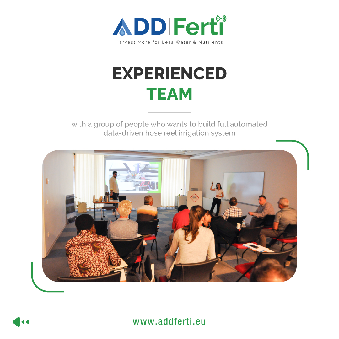
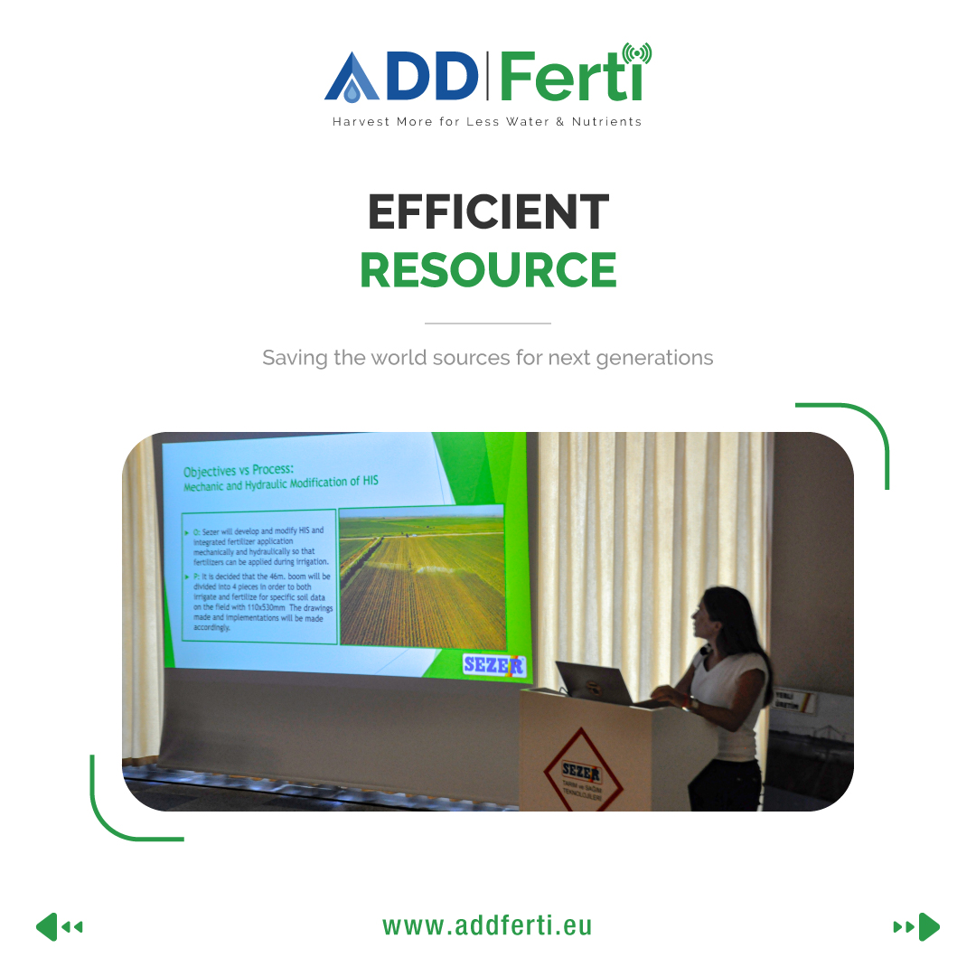
Our annual project meeting was held in Rostock, DE. Each partner presented their progress, results and future actions. Discussion points: machine learning for irrigation forecast, details of developing the hose reel irrigation machine and measuring the ecological impact of VRI.
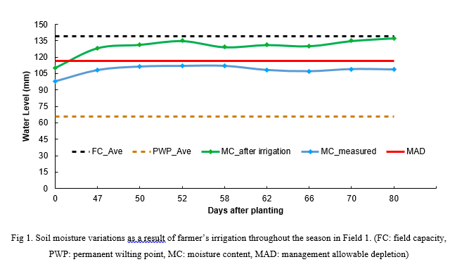
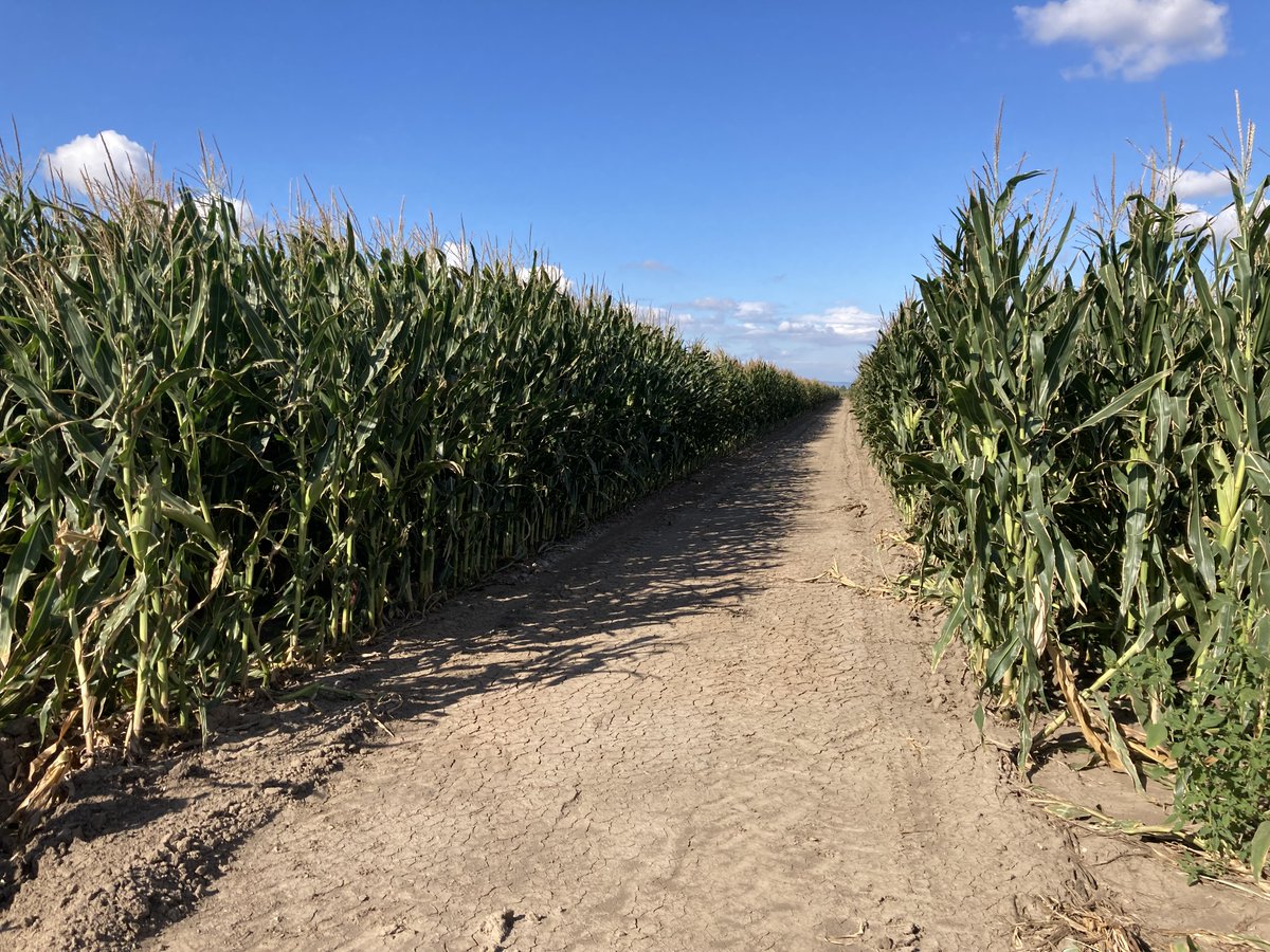
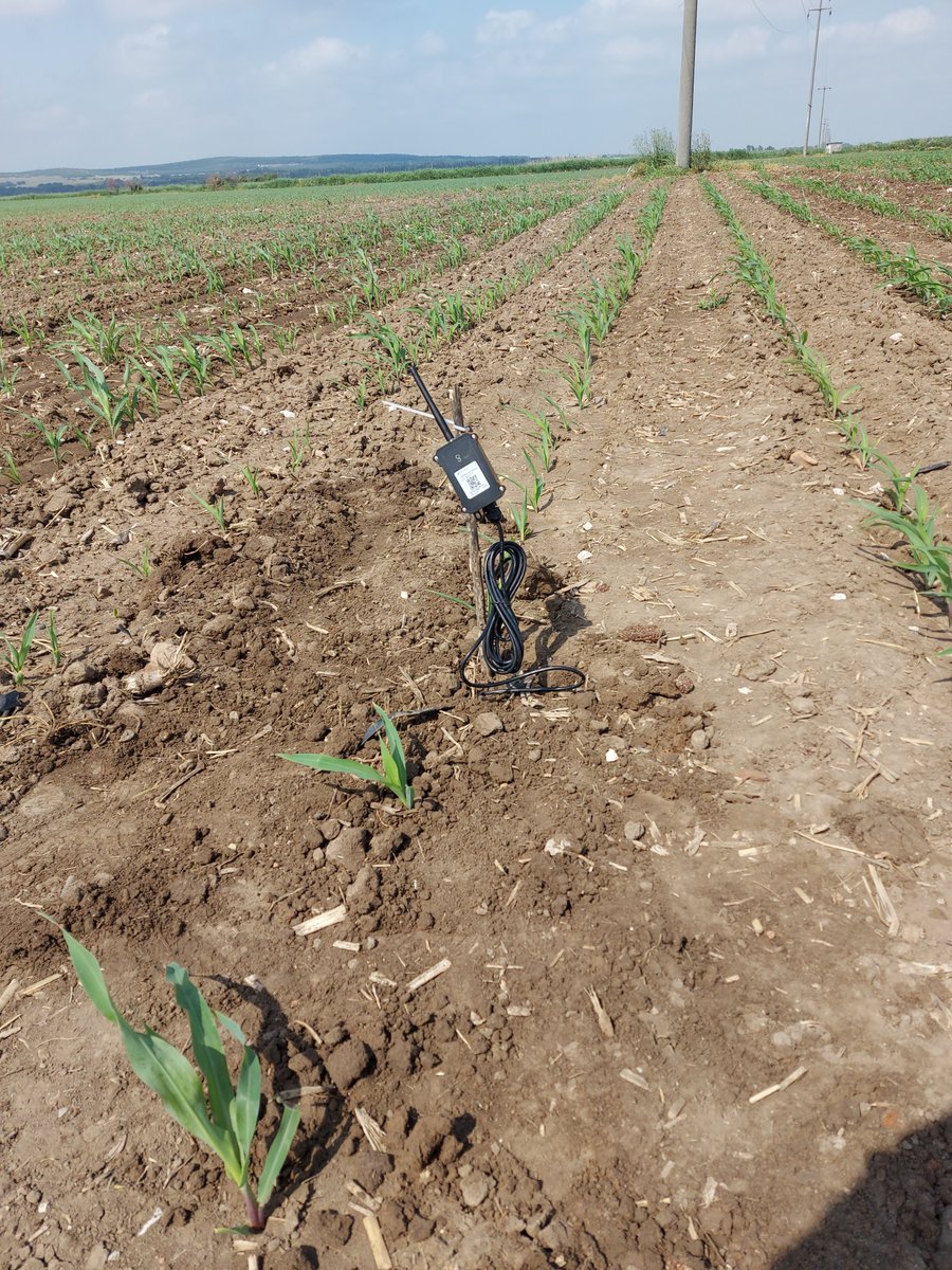
ADDFerti project aims, among others, to optimize the use of irrigation water using smart technologies. The soil moisture content was continuously monitored using a LoraWAN wireless sensor technology in two corn fields in Turkey during the summer season of 2022 (Figs 1-2).
Dr. Muhammad Qaswar from Precision scoring Group at UGent has been awarded a postdoctoral fellowship from Research Foundation Flanders (FWO) for period of three years. He is investigating the potential of variable rate of manure and fertigation by using multi-sensor data fusion.
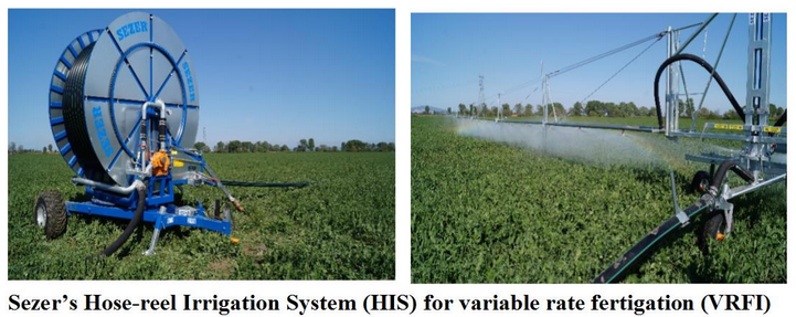
While Sezer is manufacturing the advanced variable rate fertigation (VRFI) machine, the harvest of maize on ADDFerti’s test fields in Turkey started. The yield data will be modeled in the next weeks by the partners from Uludag University in Bursa.
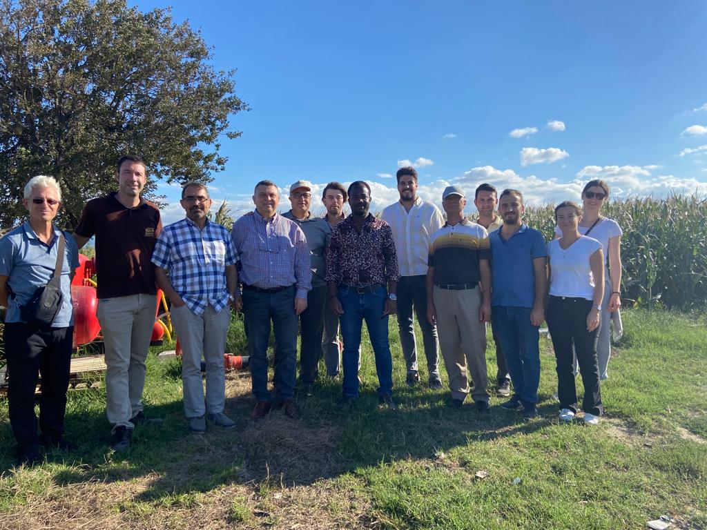
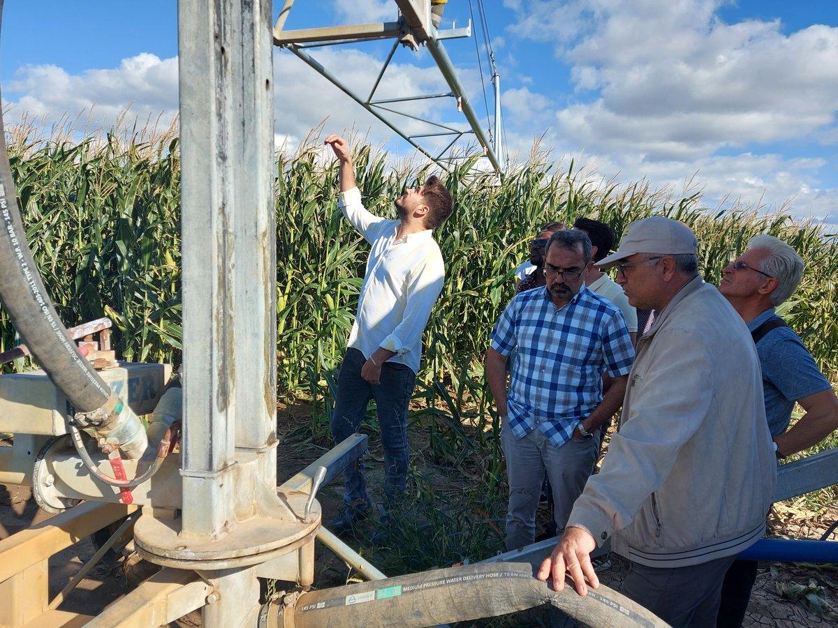
This month we had the first in-person meeting of our project in Bursa at the Uludağ Üniversitesi. Here are some impressions of our field trip to the Sezer plant and to our test field.
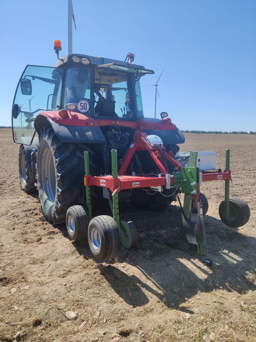
In order to calculate the correct fertilizer recommendations for the next growing season, our colleagues from UGent visited us to scan the field near Rostock with their on-line multi sensor platform.
While heat waves and dry summers noticeably increased in recent years, the cultivation of fields and agricultural practices do not remain unaffected. This is where ADDFerti comes in, aiming to design and develop a data-driven platform for variable rate fertigation (VRFI).
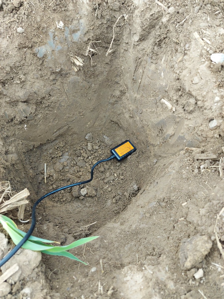
To monitor the soil moisture content, we are currently installing LoRaWAN capable soil moisture sensors in the field. The 20 sensors are strategically placed to correspond to different soil property zones in the field, which we have identified using spectroscopic soil sensing.
For our precision farming project we are currently testing the new FDR soil moisture sensors. The data is sent via LoRaWAN to a nearby Gateway, where it is uploaded to our database and presented live on a dashboard (see https://t.co/YJFRT4gfLR).
The ADDFerti project is based on a previous European project SIEUSOIL (https://t.co/QkX8POA2jm). The results of this project have set the foundation for assessing the environmental impacts of variable rate fertilisation in the project ADDFerti.
A great event for our project coordinator!
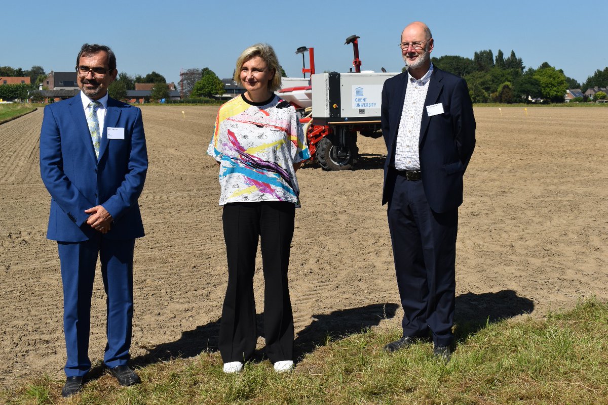
The Precision scoring team lead by Prof. Abdul Mouazen showcased showcased the combination of a smart robot with different variable rate technologies to the honorable Flemish Minister of Agriculture and Food Hilde Crevits.
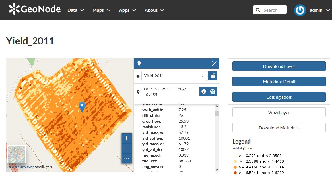
The role of Rostock University is to provide the needed ICT and data management in the ADDFerti project. Backbone of our ICT system is a geodata portal to share, view and edit data online. As software we use GeoNode, a open source geospatial content management system.
ADDFerti will answer these questions using cutting edge Life Cycle Analysis (LCA) methodology and cost-benefit analysis in combination with high resolution spatial data.
Can nutrients (e.g., N, P and K) and irrigation be combined during a VRFI process to maximise yield, reduce water use and costs while reducing the environmental footprint in arable production?
Are the potential savings in energy and reduction in emissions brought by digital technology higher than the footprint from the digital technology itself?
Given the increasing demands for water and food under climate change conditions, one of the great challenges is to increase food production while using less water. One way to achieve this goal is by the implementation of precision agricultural technologies for irrigation.
Sezer is proud to serve farmers all around the world for more than 65 years. Now is time to go further and take the next step: Being part of ADDFerti Project.
We invite you to check out the following video and discover why Sezer is the answer when it comes to irrigation.
Have a look at their recent tool geoFooprint that visualizes and simulates the environmental footprints of key commodity crops on an interactive world map down to 10×10 km grid-cell resolution.
Link to tool https://t.co/ORtm3HjQCM
Link to video https://t.co/0kYGBsNVHr
Quantis is thrilled to be part of the ADDferti project and will contribute with its expertise on combining the latest LCA footprinting methodology with geospatial data to better measure, monitor and manage sustainable crop production.