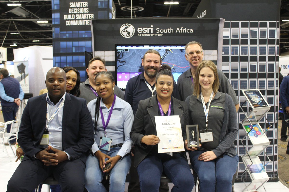
Team Esri South Africa awarded the BEST & SMARTEST stand at the #AfricaGEO2018 2018! #Where Smart Cities are Created!✨🏆🥇✨ Thanks to everyone that has contributed to our success 🤗 @AfricaGeoConf
To demonstrate the speed of the Leica GS18 T the team from @AcielGeomatics hosted a point measuring race at #AfricaGEO2018. Top time was only 43 seconds!
In 2001, the International Finance Reporting Standards (IFRS) Foundation was established. 123 governments across the world now use the IFRS standard. The aim is to create a similar standard system for land measurement. #AfricaGEO2018#landrights#landsurvey#surveyor
Boundaries are being deliniated from surveys done over 300 years ago. Before 1929 some boundaries have no recorded mathematical data, some where paced, sketched by eye or ridden on a horse. They had no intermational measurement standard. #Surveying#landsurvey#AfricaGEI2018
Background: formal land rights are documented by deed and diagram. The "what" is replicated from the diagram - no matter what the age of the diagram. They are often not accurate or relevant today. #AfricaGEO2018
Geography is a department of @StatsSA which ensures location accuracy and boundaries. Unfortunately the current state of physical addresses is inaccurate making their task difficult. #AfricaGEO2018
Event planners and architects use People Flow Analytics to predict and monitor the density of people to optimise planning and design for greater comfort and safety. #AfricaGEO2018 @HexGeospatial #GIS#locationintelligence
Exisiting users of @HexGeospatial include @StatsSA and Botswana Stats who use the software for censuses. They also built a device diagnostic tool which allowed the software to run on any census agent's device - saving millions on device purchases. #AfricaGEO2018
The team at @HexGeospatial have designed a Unified Data Model (UDM) that combines static and real time data and delivers it in 2D, 3D, 4D and 5D. #AfricaGEO2018#locationdata#datamangement#GIS
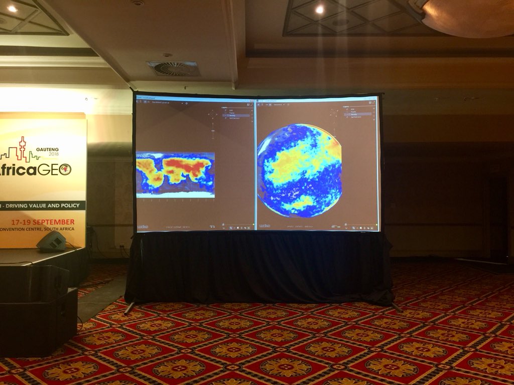
Christoph De Preter shares images of real-time aircraft mapping including views which indicate density of aircraft at any given time. @HexGeospatial @doylersa #AfricaGEO2018#GIS#locationdata
Christoph De Preter proposes shifting from the Data-Data-Data-Map model which creates bottlenecks and delays. What happens if you then need to transform your data after it has been combined into this central database? #AfricaGEO2018#locationdata#GIS#locationintelligence