The new Skadi Smart Handle from Eos is shipping now! Use the new Eos Skadi RTK units with Tilt Compensation and the LiDAR sensor for accurate elevation readings with the Invisible Range Pole!
Check out the unboxing of the XGRIDS Lixel L2 Pro handheld LiDAR Scanner! Perfect for AEC, forensics, or any field needing high-precision 3D data. https://t.co/JdF5DITvV1 #LiDAR#3DScanning#AEC#PrecisionEngineering
Our March newsletter is out today! Learn how @vgsvt1 doubled their efficiency using Eos #ArrowGold & iPads in our newest case study! Or, discover the latest #GNSS / #GPS materials with our webinars, workshops & new underground mapping manuals!
Read more: https://t.co/GqUhPnqGRi
New Zenmuse L1 @DJIGlobal#lidar#drone sensor is going to blow the doors off of the airborne lidar market (assuming it performs as specified). At $13k, it will be the best airborne lidar sensor available for the price. And, it has a 20mp RGB sensor
https://t.co/LSYZyYJM4Z #gis
Our "Laser Mapping for #ArcGIS Field Maps" workshop starts at 9:30 a.m. PDT! Check out the screenshot from our practice run for a sneak peek of the outdoor demo! We'll be showing all 3 workflows!
There's still time to register! https://t.co/sme0a6kryS @LaserTechInc_@ArcGISApps
Don't forget to register for our free webinar tomorrow! High-Accuracy Drone Mapping Webinar examining @DJIEnterprise new P1 payload (45MP) for the Matrice 300 RTK compared to the Phantom 4 RTK. March 23, 10am PST #drone#uav#mapping https://t.co/mgYKxRsIbA
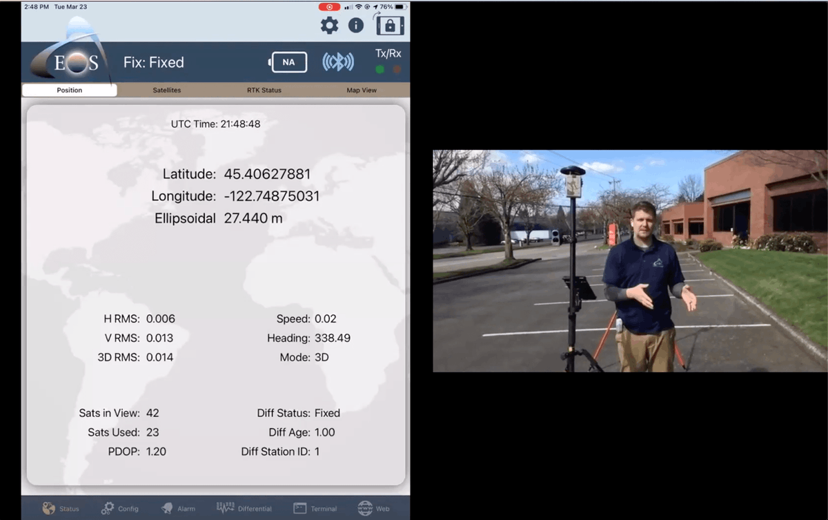
Join Anatum's High-Accuracy Drone Mapping Webinar examining @DJIEnterprise new P1 payload (45MP) for the Matrice 300 RTK compared to the Phantom 4 RTK. We also use the @EosGNSS Arrow Gold RTK Base Station. March 23, 10am PST #drone#mapping https://t.co/xUbpGqVKpj
Solar Cycle 25 has officially begun. Do you high-precision #GNSS users (especially #SBAS) know what it means to you? It's an 11 yr cycle. The media largely over-hypes it, but it has proven to be a problem for SBAS users in the past.
https://t.co/bVwKgD52Sw #GIS
You still have time to register for the Laser Mapping with Esri Collector for Utility Pole Space Management webinar with Laser Tech and @AnatumFS today at 11 am MDT. #GPS#PoleAudit https://t.co/GcNC7S6nH6
Have you registered for the Laser Mapping with Esri Collector for Utility Pole Space Management with Laser Tech and @AnatumFS on July 8th? Register today #GIS#GPS#poleaudit https://t.co/Hg2OipvwbH
Thank you Matt @AnatumFS for joining us live on Facebook yesterday! Check out our Facebook page if you missed the interview. https://t.co/RkNqYXePE6 #Tuesdaysat2#TuesdayTalks