Weather enthusiast in the PNW
Love severe weather
Christian ✝️
-STATS-
3 tornadoes (strongest EF-3) 🌪️
Highest wind = 150 KM/H 💨
Biggest hail = 0.5 inch🧊
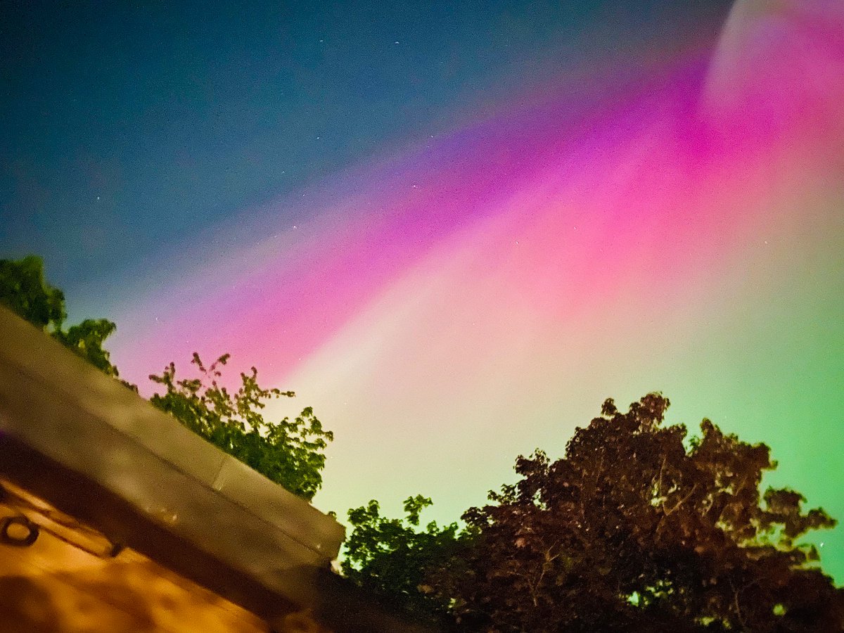
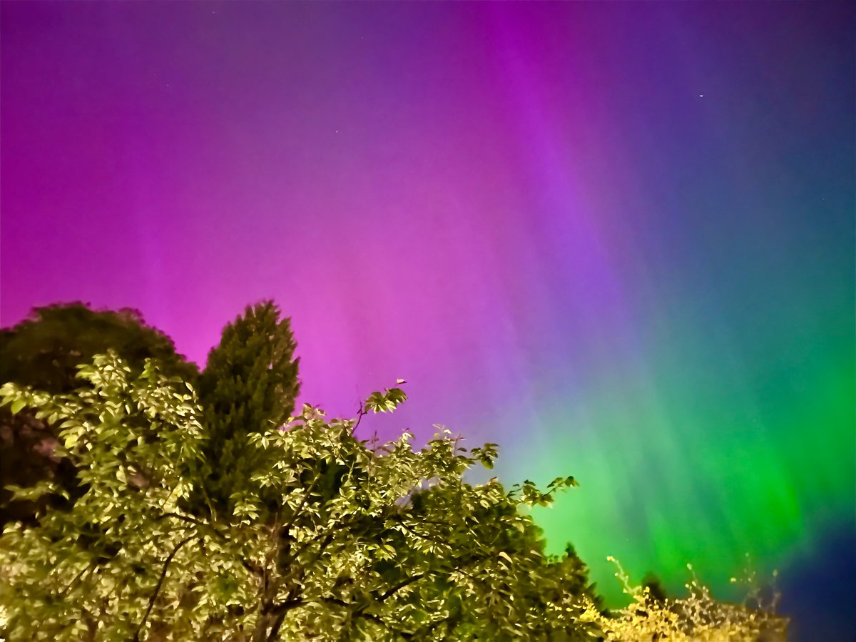
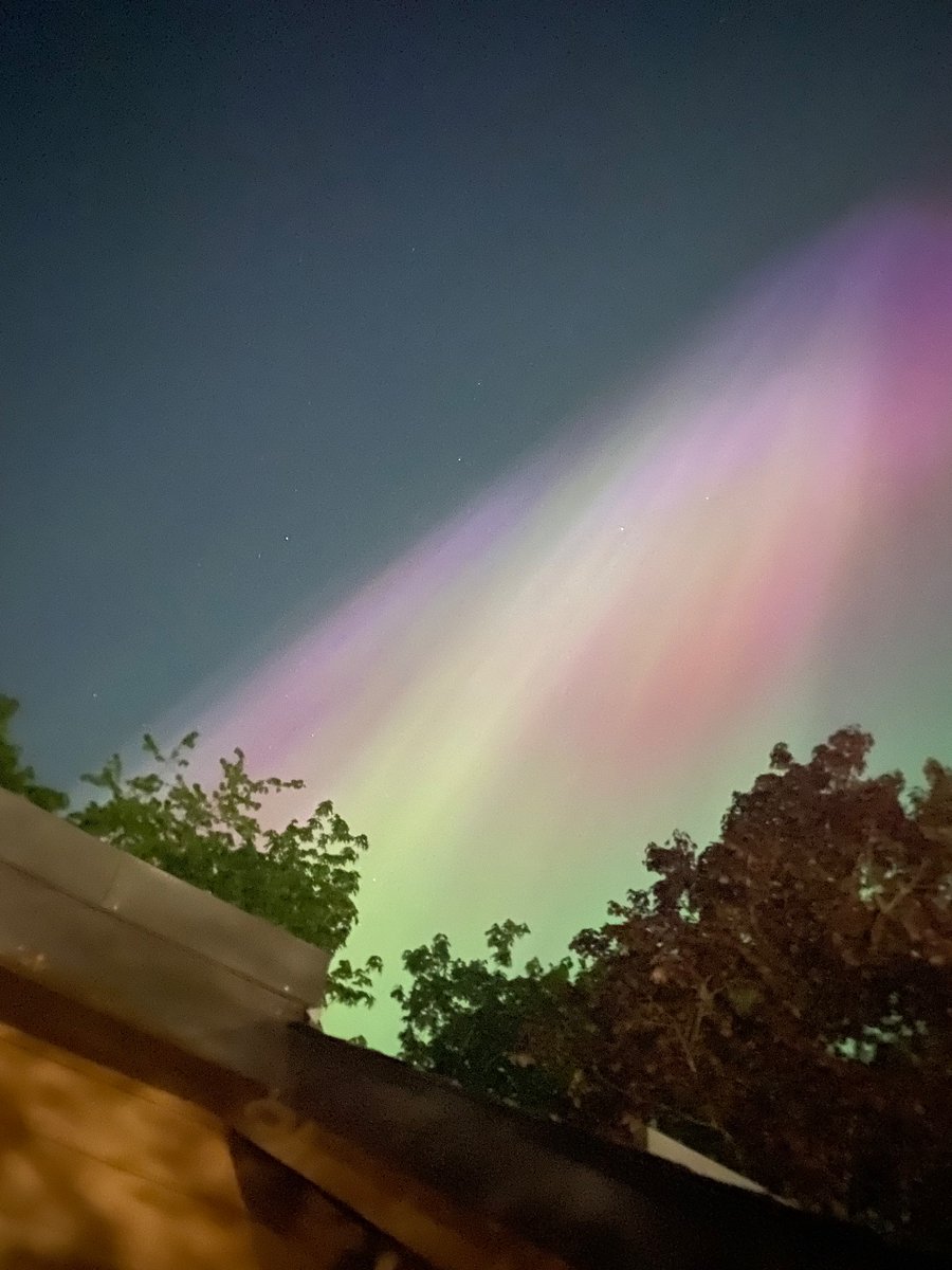
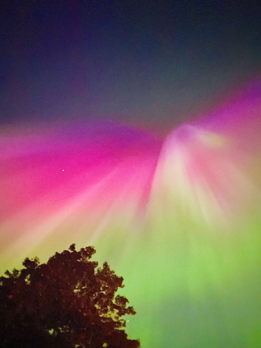
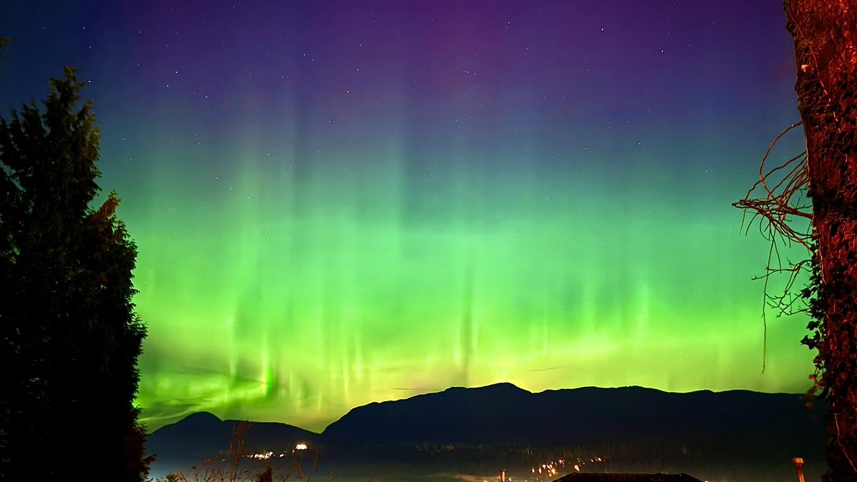
Insane aurora around 11pm today in Coquitlam, BC. Was visible for a good 30 minutes and was very active. First time I saw aurora overhead and with color. The fact that it spread out across the whole sky was super cool. #bcstorm
The strongest cells will occur late evening, mostly in SW BC (Lower Mainland, Sunshine Coast). The strongest cells could possibly reach up to 90 KM/H winds, pea sized hail and may be partially supercellular in nature. More accurate info soon as the day goes on.
The potential for a significant thunderstorm outbreak is present Thursday - Friday w/ perhaps a few rare severe storms for most of the Pacific NW as a negatively tilted low combining with monsoonal moisture creates an unstable environment, stay tuned for more info. #bcstorm#wawx
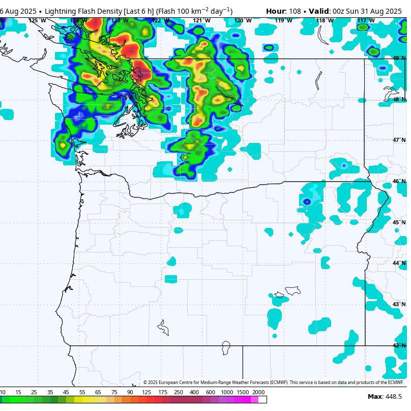
Widespread Thunderstorms Are Possible On Saturday
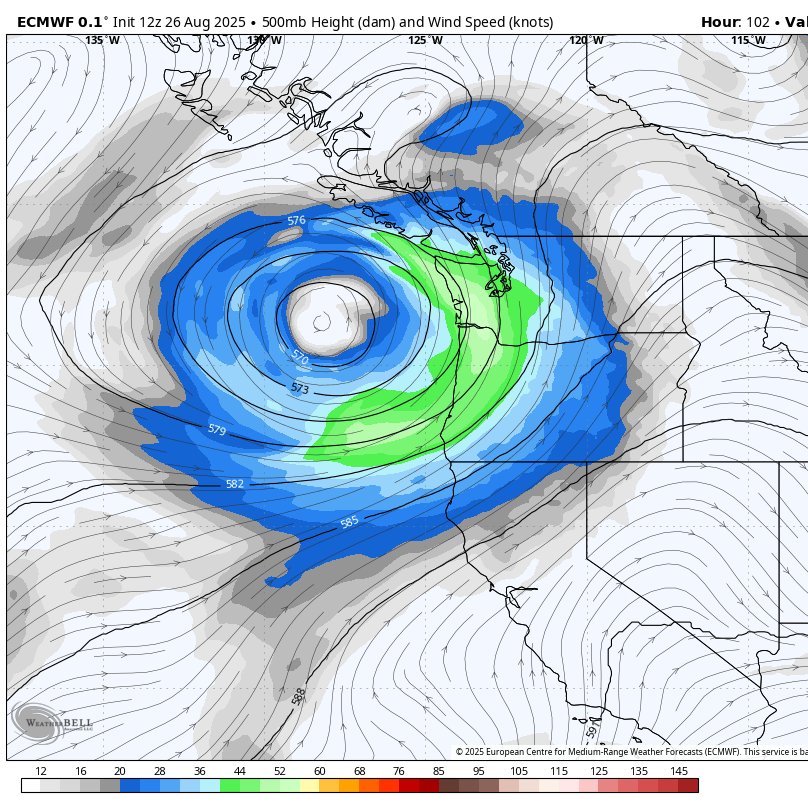
An upper-level low will move in from the Pacific on Saturday pulling monsoon moisture up from the SW US. This plus the lift provided by the low will make a prime environment for thunderstorms. Models have started to converge on scattered to widespread thunderstorms developing in the morning over NW OR/SW WA and moving north/northeast over western Washington and SW BC. However, there are still questions we need to figure out regarding exactly how widespread they will be and who specifically has the absolute best chances. This is still 4 days out, but we are getting to the range where drastic changes to the forecast are becoming much less likely. I'll have more updates as we get closer! ⛈️
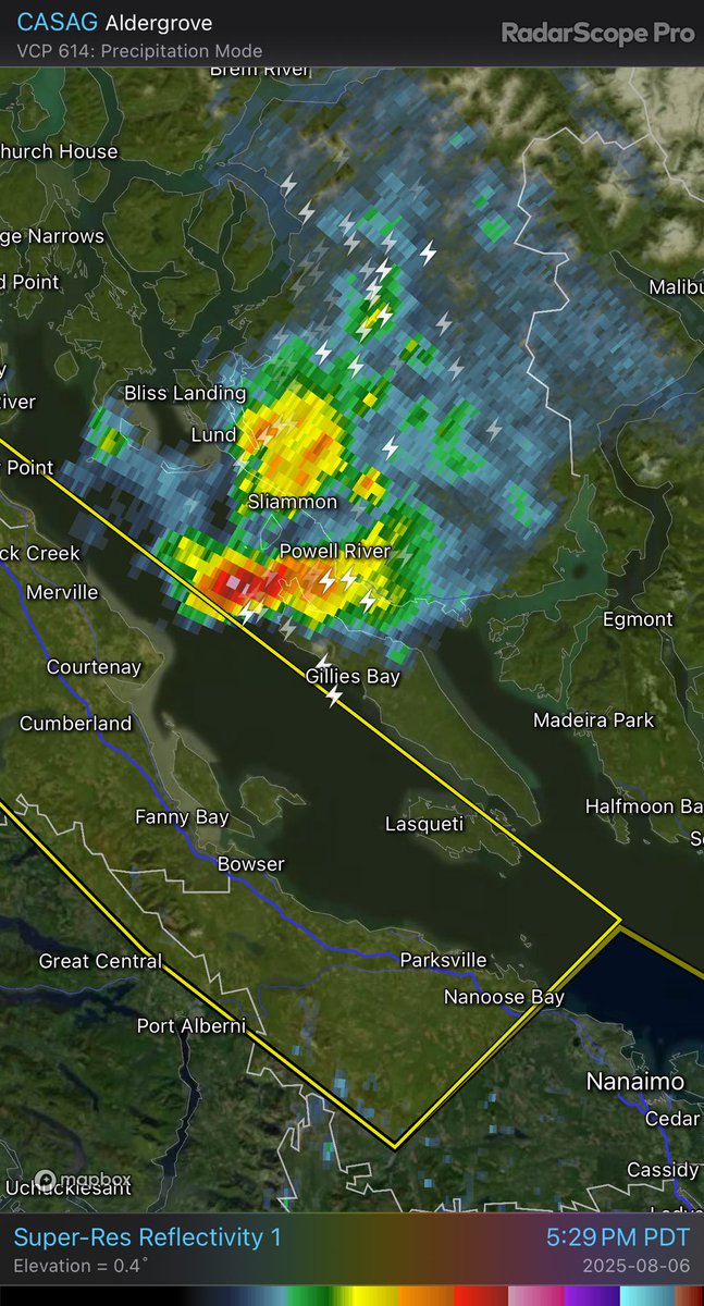
Severe thunderstorm warning for the Sunshine Coast at Powell River — heavy rain and up to dime- sized hail possible
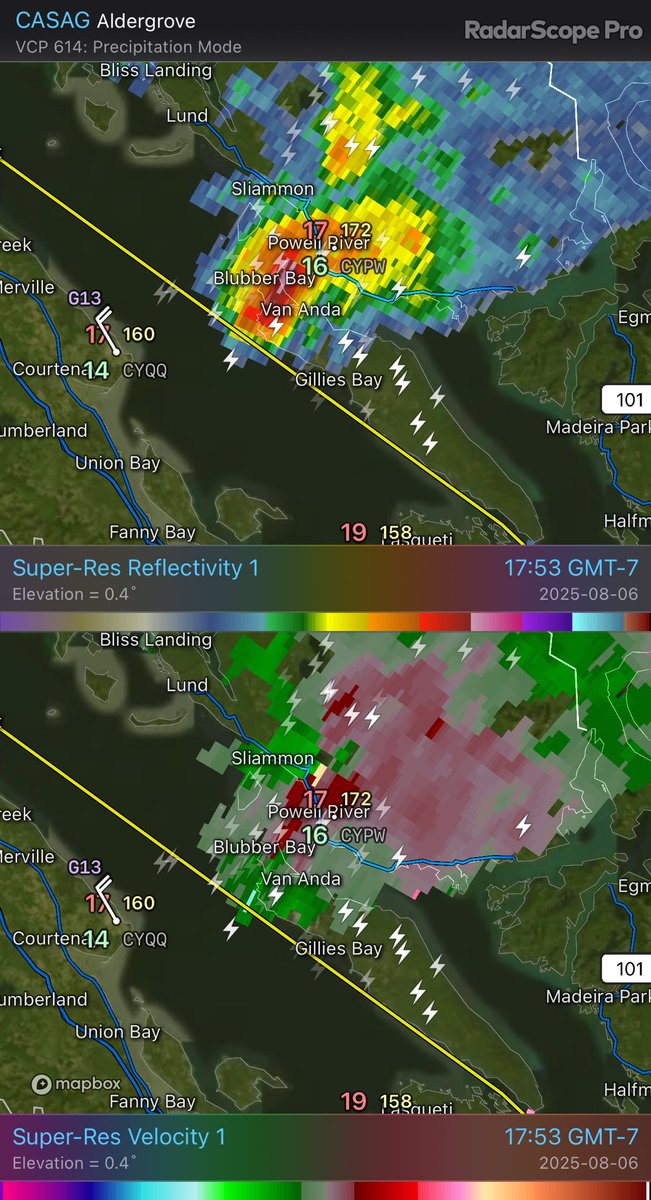
CASAG - Super-Res Reflectivity 1 17:53 Super-Res Velocity 1 17:53 #BCStorm#BCwx
Wait, what?! Do we have a splitting supercell on the #BC coast??
Did not have that on my bingo weather card! @50ShadesofVan @justinhobson85
CASAG - Super-Res Reflectivity 1 16:23 Super-Res Velocity 1 16:23 #BCStorm
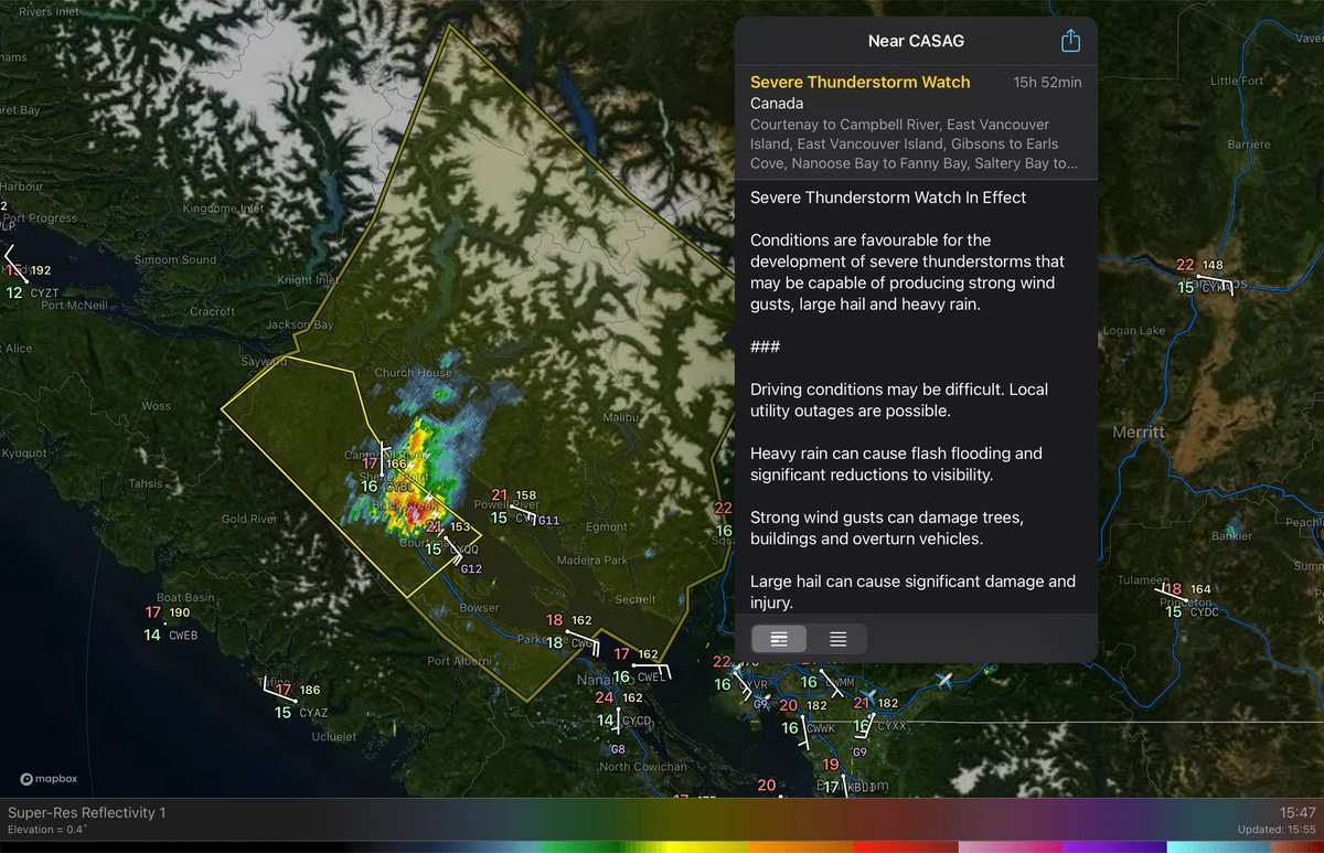
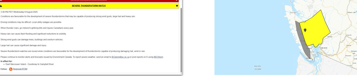
Severe T-Storm Watch issued for East Van Isle (N of Nanoose Bay) & Sunshine Coast as conditions are favourable for the development of severe storms that may be capable of producing strong wind gusts, large hail and heavy rain.
Have a way to receive warnings tonite!
#BCstorm#BCwx
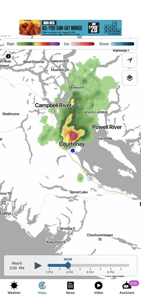
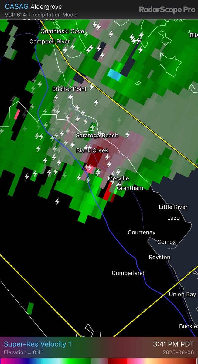
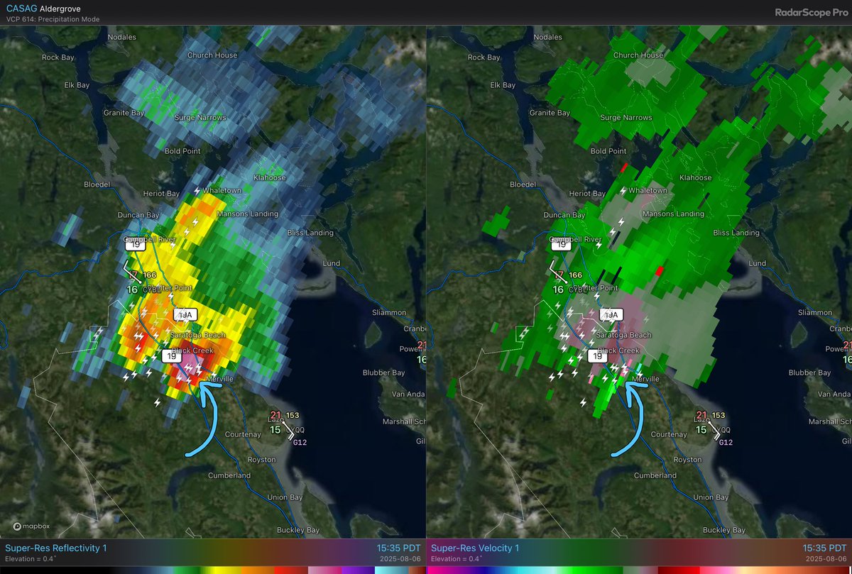
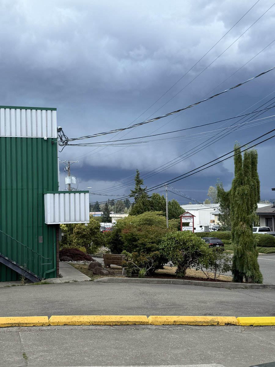
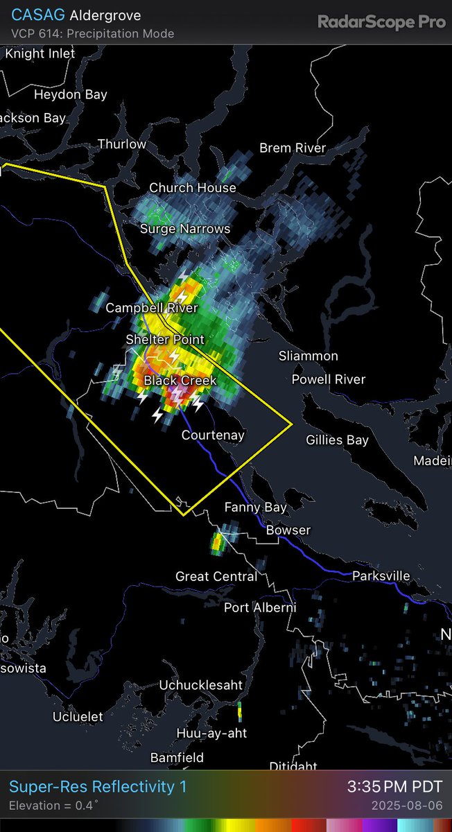
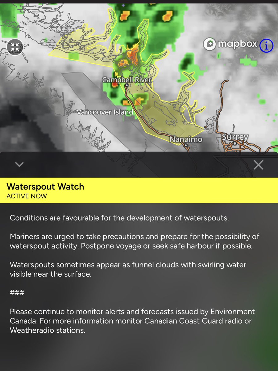
Intense severe thunderstorm near Courtenay, BC! Large hail, intense winds, extremely heavy downpours and even a brief waterspout / funnel not ruled out. Very intense for our area! #bcstorm
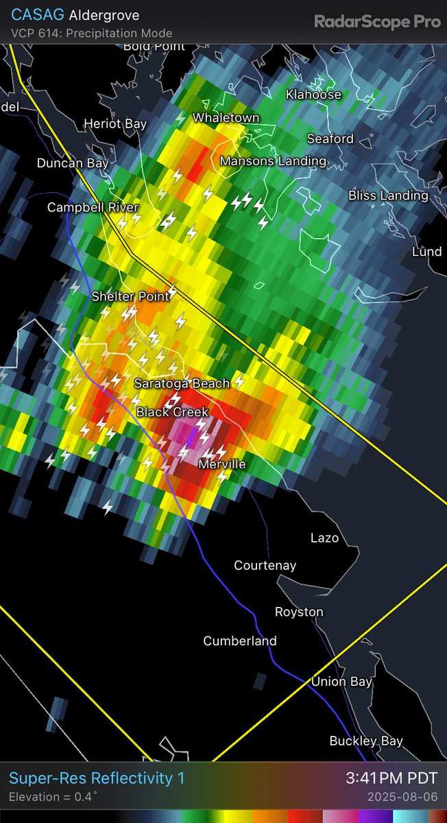
Impressive thunderstorm cell by #BC Coast standards just south of Campbell River—Sadly the Halfmoon Peak Radar is down *insert annoyed face* —But some rotation within the cloud evident on the radar. Cell moving SE.
CASAG - Super-Res Reflectivity 15:29h #BCStorm#BCwx
A low-pressure system is bringing widespread thunderstorm activity to B.C., with the possibility of hail, strong winds and brief funnel cloud sightings. #BCStorm#BCwx
https://t.co/Hi6B4B6LtL