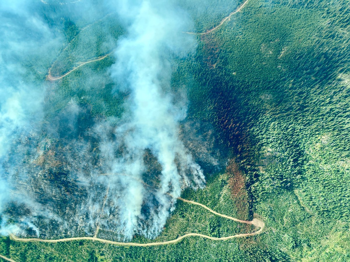
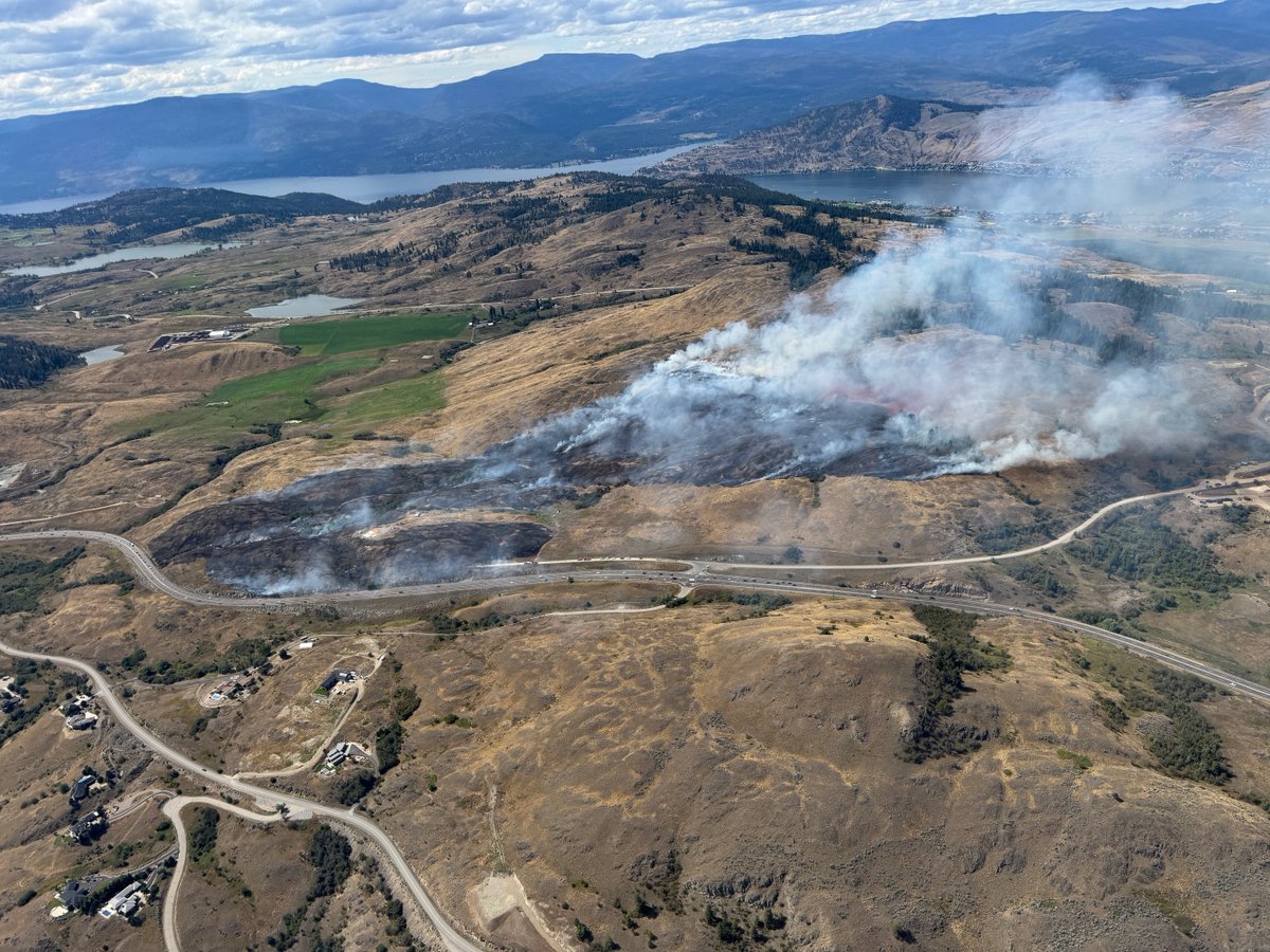
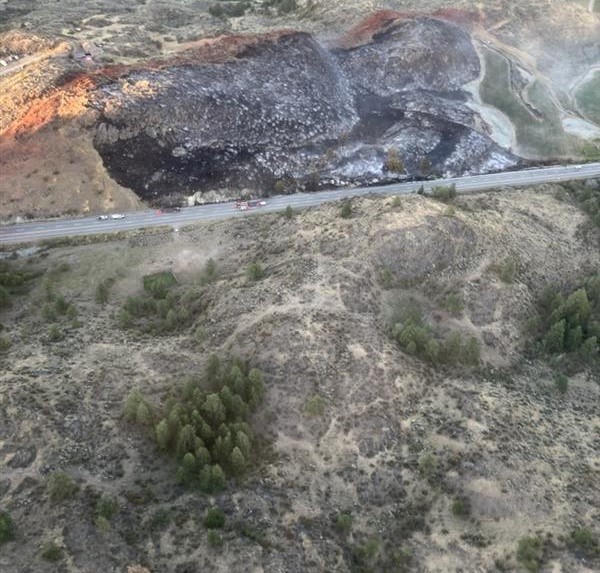
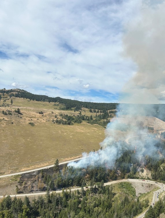
⛔️REMINDER - #BCHwy1 is closed between #Ashcroft and #BostonBar due to the Saw Creek wildfire near #LyttonBC.
ℹ️More information on the #BCHwy1 closure can be found: https://t.co/YfwDgc2ath
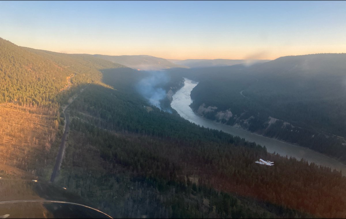
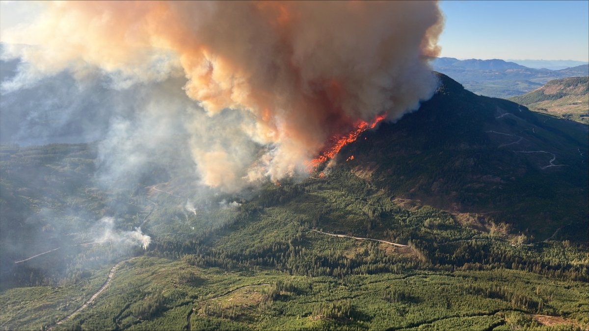
We are responding to the Saw Creek wildfire (K70597) located approx. 3km S of Lytton. The fire is currently estimated at 100ha and is suspected human caused. Crews, aerial resources and Lytton Fire & Rescue are on site, structure protection crews and additional resources enroute.
The fire is burning Rank 4 and 5, a highly to extremely vigorous surface fire with an organized crown fire, and moderate to long range spotting. Hot and dry conditions have made fuels highly susceptible to ignition, so additional growth is expected.
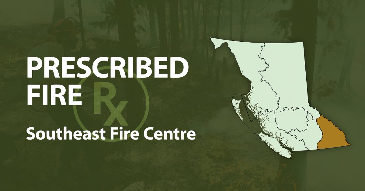
Williams Lake First Nation, with BC Wildfire Service, will conduct a cultural burn of 20 hectares in two areas of IR 1, south of #BCHwy97, on Thurs, Oct 30.
Ignitions will proceed only if conditions are safe. More info: https://t.co/Mdt0cRarx7
Starting today, we are supporting the Cascades Natural Resource District with pile burning, 5 kms north of #Lytton. About 20 piles will be burned. Smoke may be visible in surrounding areas. More info: https://t.co/T0q3j8boD6
To help reduce the risk of wildfires, we will be conducting two prescribed burns near Cranbrook, starting as early as Thursday, Sept 18:
~7 ha in the Bull River area: https://t.co/vG1ab33YiS
~30 ha in the Wycliffe area: https://t.co/vG1ab33YiS
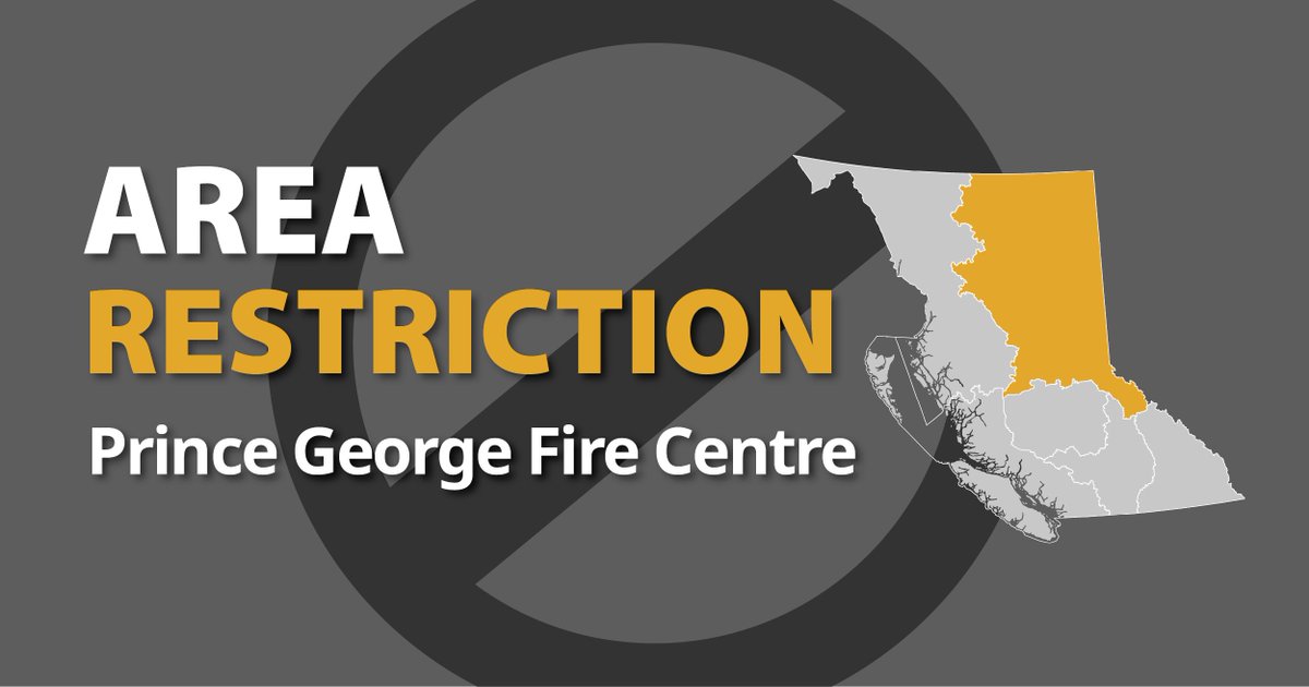
An area restriction is in effect as of 12 p.m. PT for the Tsetzi Lake wildfire (G41658). This Order will remain in force until 12 p.m. PT on Oct. 15, 2025, or until the order is rescinded.
More information and a map of the affected area is available here: https://t.co/EnC6epVZVz
The Mine Creek wildfire (K61891), 44km NE of #HopeBC, is Out of Control at 105 ha, burning Rank 4 (vigorous surface fire). Visible from Hwy 5, but no threat to structures or roads.
Updates: https://t.co/3zgKZwty0g Highway status: https://t.co/yX0dmeOK53
The Area Restriction associated with the Beef Trail Creek wildfire (C51672) has been amended. To view the latest updates, please visit: https://t.co/KKeaxcuJlv
For information about this wildfire visit the BC Wildfire Service app or map: https://t.co/WkUY1orL0N
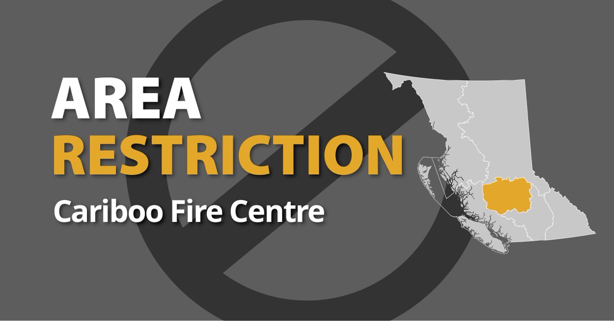
An Area Restriction Order is now in effect for the Beef Trail Creek wildfire (C51672), located north of Ulkatcho First Nation and Anahim Lake and east of Tweedsmuir Provincial Park. More information: https://t.co/eqeJOlvPOM
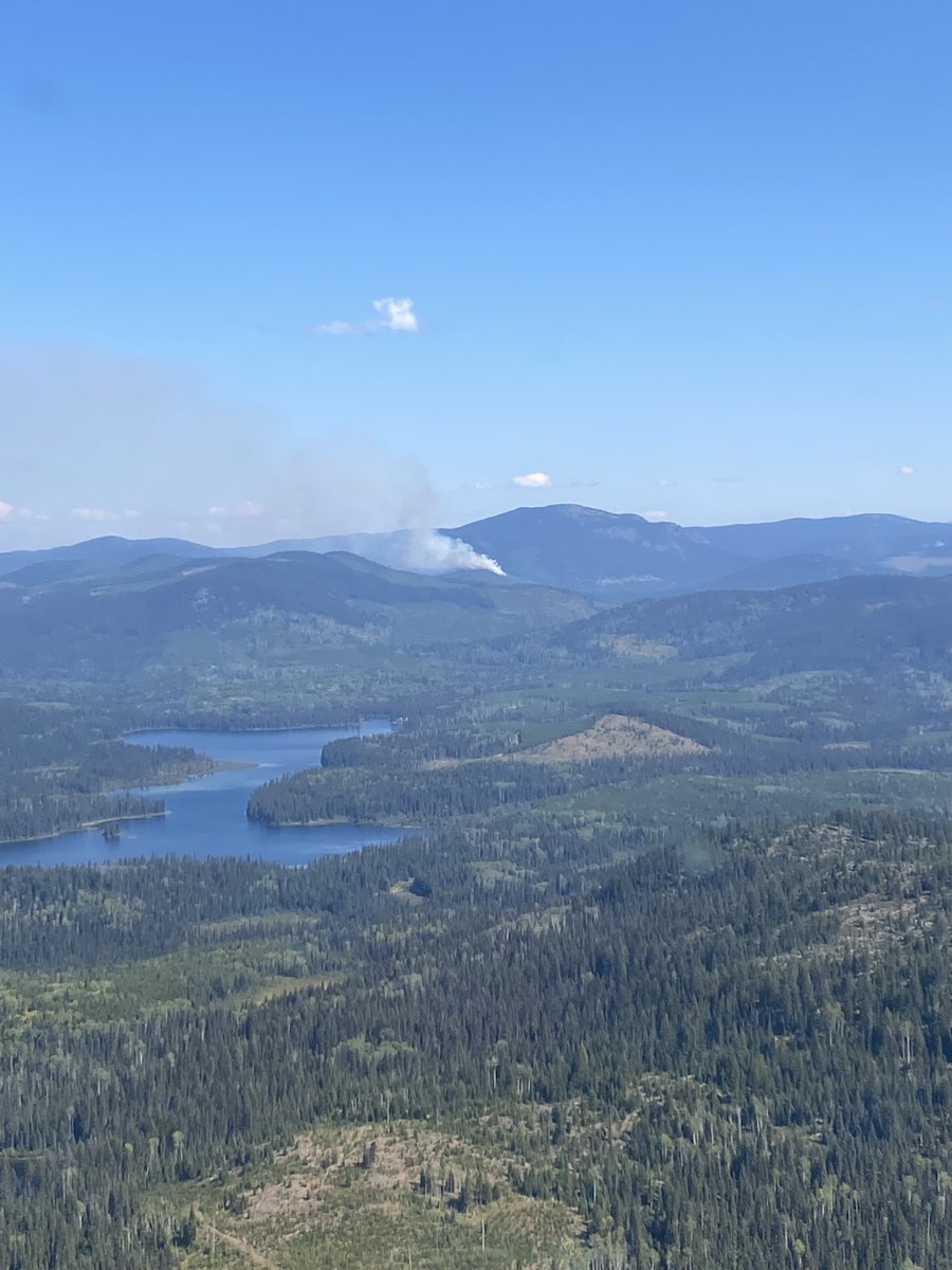
We are responding to three lightning-caused wildfires east of Bowers and Preacher Lakes. These fires are visible from #100MileHouse. Suppression efforts are ongoing. No structures or roads are currently threatened. For updates, visit: https://t.co/ZygpckDwxy
An Area Restriction Order is now in effect for the Beef Trail Creek wildfire (C51672), located north of Ulkatcho First Nation and Anahim Lake and east of Tweedsmuir Provincial Park. More information: https://t.co/eqeJOlvPOM
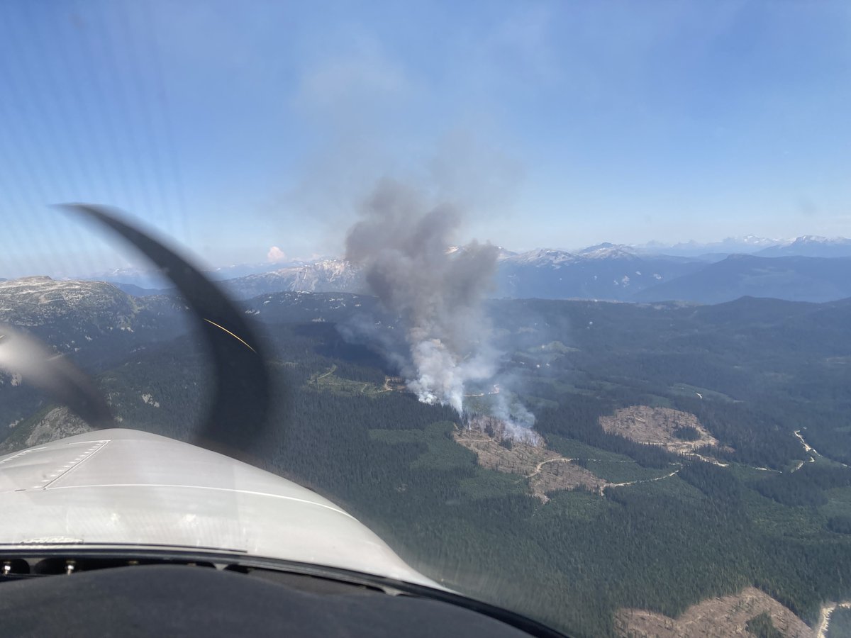
We are responding to the Cayenne Creek wildfire (K21633), located approximately 28 kilometres north of Seymour Arm.
For more information and updates on this fire, please visit the wildfire webpage: https://t.co/O9mxY69CDF
The Cariboo Fire Centre responded to two wildfires in the early evening of Friday, Aug. 22.
For full information on C21585 (Being Held) and C41590 (Out of Control with crews continuing response and no residences or infrastructure threatened), visit: https://t.co/ZygpckDwxy
We are responding to the Boltres Creek wildfire (K41552) burning ~8 km southwest of Vernon, along #BCHwy97. For more info visit: https://t.co/c6ajpiT938
For information about road closures check: @DriveBC
We are responding to the Mount Underwood (V71498) wildfire, southwest of Port Alberni. The Bamfield Main highway is now closed between Port Alberni and Bamfield. China Creek Regional Park and Marina/Campground has been evacuated. For updates visit: https://t.co/6Dg1xF08Ho
We are responding to the Conifryd Creek (K51497) wildfire, ~6 km northwest of Osoyoos and east of #BCHwy3
For any information on road impacts please visit @DriveBC
For more information on this wildfire visit: https://t.co/UGp0bN4rjX
We are responding to the Daves Creek (K51474) wildfire, approximately 15 km east of Kelowna, which is currently impacting #BCHwy33. Visit @DriveBC for latest road closures and our page for incident details: https://t.co/99yqb4PvGS
We are responding to the Dorman Lake wildfire (G41285), ~20 km south of #FraserLake. Estimated at 319 ha & classified as Out of Control. Smoke visible in #FraserLake, #Vanderhoof & #BCHwy16. Crews, aircraft & equipment on scene. More info: https://t.co/xz6UyDamAO
Crews and structure protection personnel continue to respond to the Wesley Ridge fire (V71145), now 245 ha. Visit @DriveBC for #BCHwy4 status and @RDNanaimo for evacuation information. For wildfire updates, visit: https://t.co/HlT4a6s53P