How did Box Elder County help the nation with a critical pandemic need?
We caught up with the Procter & Gamble (P&G) team to see “how they roll” during COVID.
https://t.co/lp08Mg7Snb
Attached you will find the National Oceanic and Atmospheric Administration (NOAA) Hazard Mapping System Fire and Smoke map. As you can see the West is on fire. Here, also, are the PM2.5 charts from the last few days.
Are you curious how widespread the wildfire smoke is? Our High-Resolution Rapid Refresh (HRRR) model forecasts the density of smoke near the ground.
Here's what it looks like today; you can see CA/NV wildfires producing smoke that spreads into northern UT, WY, and beyond. #utwx
Fire crews continue to make good progress on the 127,059 acre #GooseCreekFire. Burnout operation along the western portion of the fire have concluded, reaching 80% containment for the incident. A Red Flag Warning will cover the fire area today due to low relative humidity/winds.
#GoringFire I-84 is open. Visibility is very poor. Estimated 15,000 acres burned. 20% contained. Crews fought through the night with dozer lines and preserved many wheat fields.
@UDOTRegionOne The #GoringFire in Box Elder County is now 7000 acres, 0% contained. No evacuations. I-84 between Snowville and Tremonton remains closed.
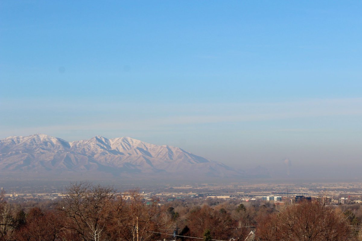
Day 2: The PM2.5 pollution is starting to build in the valley. @NWSSaltLakeCity has forecast this as a prolonged inversion event. No relief for the next few weeks. Act now to protect you and your neighbor's health. #ActNow4CleanAir