Earth Intelligence for Africa and beyond. SAR, Earth Observation & Geospatial Intelligence for maritime, environmental, security and infrastructure applications
African space companies should not participate only as end-users of foreign capability.
The long-term opportunity is to contribute research, software, analytics, missions, policy, services, and eventually infrastructure to the global space economy.
Biosec Solutions Limited is an International Astronautical Federation member.
Biosec Intergalactic is not the member entity; it operates within the wider Biosec ecosystem.
https://t.co/ZD7oUNPuJo
Our ambition at Biosec Intergalactic is to grow along that chain: from space-derived intelligence today, toward deeper African space capability over time.
Africa’s space conversation often starts with satellites.
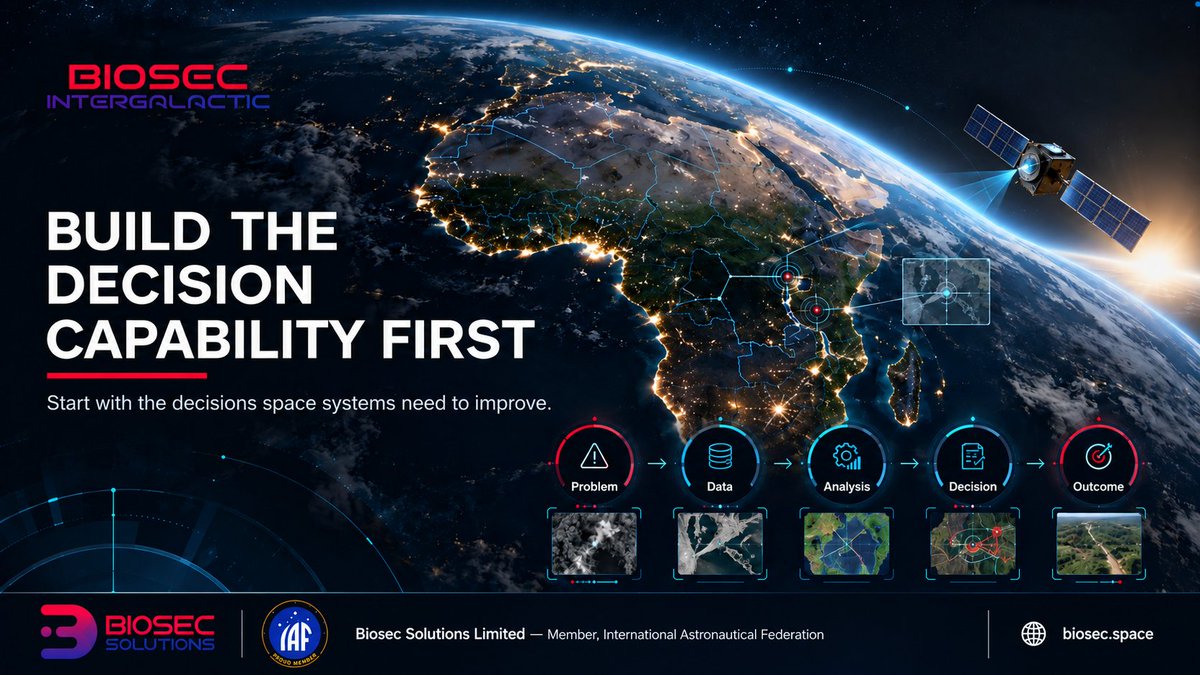
We think it should start one step earlier: what decisions do we need space systems to improve?
From that question, capability can be built in the right order. 🧵
This does not argue against African satellites.
It argues for making them part of a complete capability chain; one that starts and ends with useful decisions.
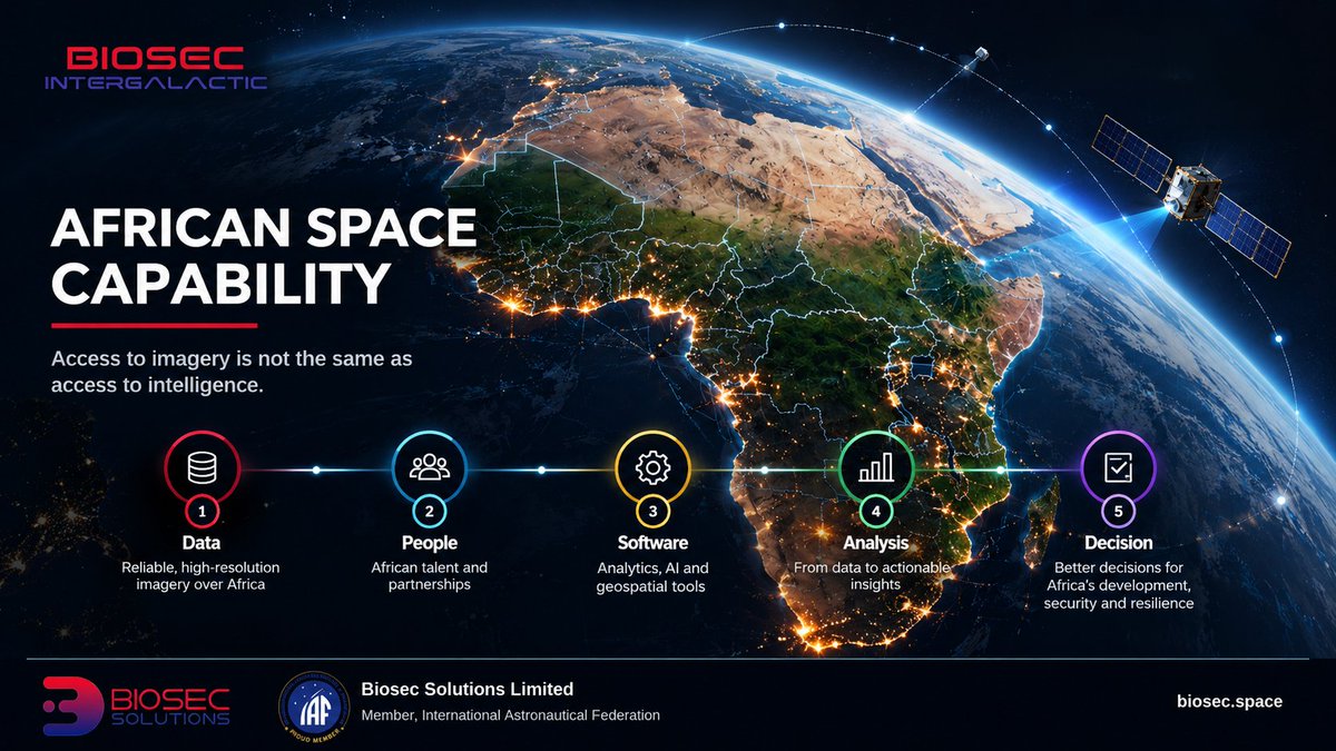
Access to imagery is not the same as access to intelligence.
If the data, processing, interpretation, and decision logic all sit elsewhere, dependency remains.
Indigenous analytical capability is part of space sovereignty.
SpaceX's Starship rocket has successfully reached orbit and deployed its V3 Starlink satellites into orbit for the first time, officially making this Starship's first revenue-generating flight, a major milestone for the company!
Congrats @SpaceX team! Incredible achievement 🚀
Africa does need more satellites. But satellites alone do not create space capability.
Someone must define the problem, process the data, understand local context, interpret uncertainty, and turn the result into a decision
The analytical layer matters
https://t.co/7lIqGr9lyc
A space-intelligence client should not need to become a remote-sensing expert.
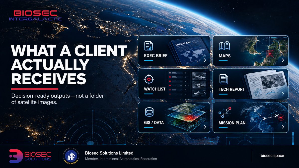
The output should be decision-ready: executive brief, intelligence map, priority watchlist, technical evidence, GIS products, and a follow-on monitoring plan.
Remote site monitoring can answer practical questions:
Has construction expanded?
Are vehicles appearing more frequently?
Has a new route emerged?
Is the activity persistent or temporary?
The value is often in the change, not the object.
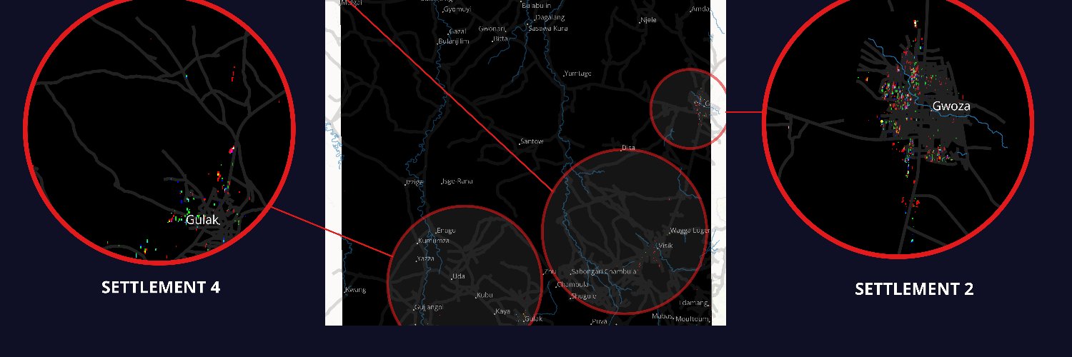
A precise-looking map can still represent uncertain evidence.
Good visualisation should not make the conclusion look stronger than the data.
The symbol, label, and confidence statement should all tell the same truth.
The most important word in intelligence may be “confidence.”
A map can look precise even when the evidence is not. Here is how we think about making uncertainty visible rather than hiding it. 🧵
Fourth, match the visual language to the evidence.
A precise symbol or alarming label can accidentally communicate more certainty than the analysis actually contains.