Latest news: Bluesky named sole supplier of national aerial photography to UK Government
#aerialsurvey#mapping#gisdata#geospatial
Read the full story: Bluesky Named Sole Supplier of Aerial Photography to UK Government (https://t.co/RI3LyVRbX9)
GeoPlace Conference kicks off TOMORROW at Man United! Network with 20 speakers, 450+ delegates and 30 exhibitors and learn from industry experts at the premier event for delivering services to people and places. View the exhibitor showreel https://t.co/wVIt4ESg96
#GeoPlace2024
After a thrilling end to the Premier League season we are re-sharing an image we posted last Aug detailing all Premier League stadiums. Which 3 will not be in this line up for the new season and which one is home to this season's champions? #premierleague#football#aerialimagery
It's National Hedgerow Week and we are pleased to announce that we have launched the National Hedgerow Map™, the first dataset of its kind to enable carbon storage calculations thanks to the volumetric data it offers https://t.co/nSBnbSCc4R
#hedgerows#NationalHedgerowWeek
We are pleased to release the programme for our flagship event #GeoCom23!
Our early bird discounted rate is still available until midnight Monday 13 November.
Read more and register ��https://t.co/JdjhCxi0O1
We are delighted that @Bluesky_int have joined the Tamworth FC family as sponsors of the @tamworthfcwomen home and away kits and also as VIP Club Members. You can read more about our partnership here https://t.co/aRnSlze7Lk
Last week we launched our UK Geospatial Strategy 2030. 🚀
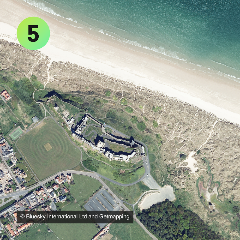
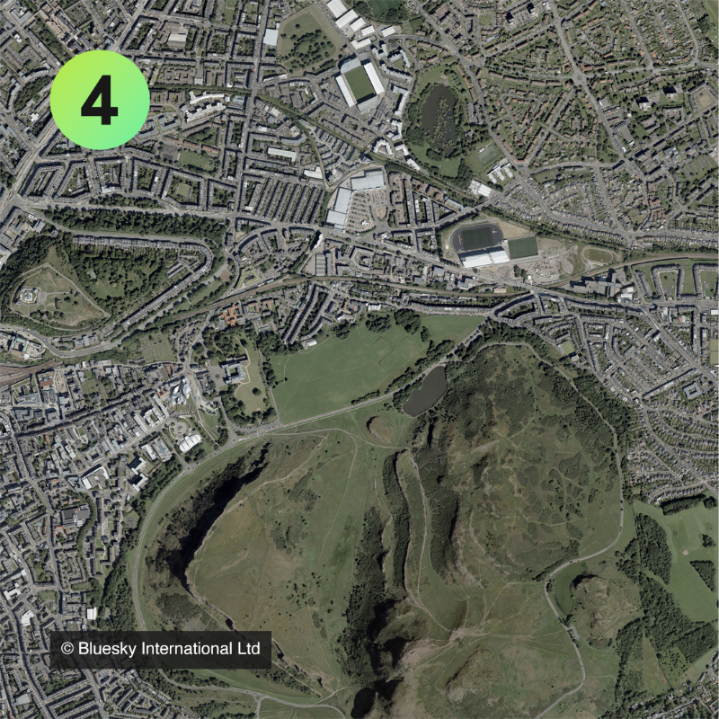
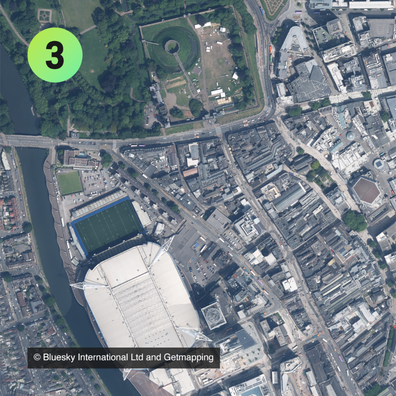
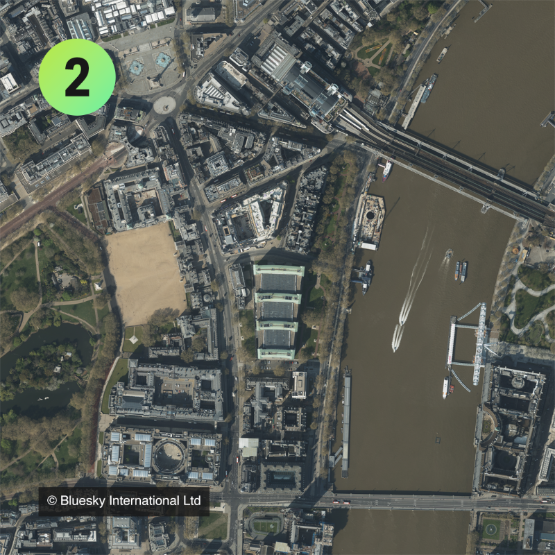
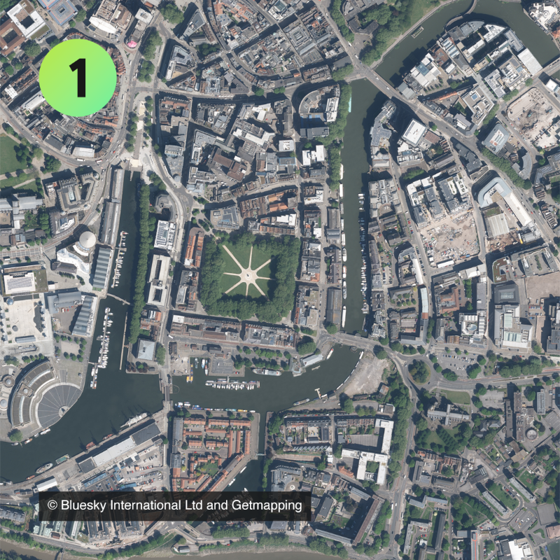
In the report, we included five beautiful aerial photographs of locations across Great Britain from our partners @Bluesky_int and @GetmappingLtd.
Can you guess the locations? �Last week we launched our UK Geospatial Strategy 2030. 🚀
In the report, we included five beautiful aerial photographs of locations across Great Britain from our partners @Bluesky_int and @GetmappingLtd.
Can you guess the locations? �Last week we launched our UK Geospatial Strategy 2030. 🚀
In the report, we included five beautiful aerial photographs of locations across Great Britain from our partners @Bluesky_int and @GetmappingLtd.
Can you guess the locations? �Last week we launched our UK Geospatial Strategy 2030. 🚀
In the report, we included five beautiful aerial photographs of locations across Great Britain from our partners @Bluesky_int and @GetmappingLtd.
Can you guess the locations? �Last week we launched our UK Geospatial Strategy 2030. 🚀
In the report, we included five beautiful aerial photographs of locations across Great Britain from our partners @Bluesky_int and @GetmappingLtd.
Can you guess the locations? �Last week we launched our UK Geospatial Strategy 2030. 🚀
In the report, we included five beautiful aerial photographs of locations across Great Britain from our partners @Bluesky_int and @GetmappingLtd.
Can you guess the locations? 🤔
The Bluesky team have been taking part in the #BigHelpOut to celebrate the coronation of King Charles III doing a community litter pick around Ashby de la Zouch followed by a team BBQ. Collectively we have litter picked for 36 hours! #team#community#bighelpout#kingscoronation
📢 Calling all GIS professionals and enthusiasts to join us for our upcoming webinar on Leveraging Geospatial Imagery & Data for Increased Climate Resilience. Featuring:
@EcopiaAI
📷 Tue, Apr 25th, 3pm BST Sign up now 📷 https://t.co/k9APxlnjxb
#GIS#Maps#AI#Geospatial
Bluesky is excited to be named as one of the selected organisations to sit on a new framework created by Ordnance Survey.
The framework has been set up to support OS in achieving its strategic aims with regard to aerial service.
Read the story here: https://t.co/g22MGdt8SG
Two of our newest sales team members, Alice & Kate, recently visited our Flight Operations team who are based at Birmingham Airport.
It was a great opportunity for them to get to know the team and they enjoyed a tour around the hangar and a demonstration of our aerial sensors.
We are all ready and set up here at @InsideIntergeo 2022! If you’re at the event visit us on stand D3.041 to learn about Bluesky’s suite of geospatial products. The team is looking forward to seeing familiar faces and new ones this week.
#intergeo22#exhibiting#meshmodel#gis
@Bluesky_int will be joining us at #regen2022 they are the leading aerial survey and geographical data company in the UK producing seamless digital aerial photography and height data on a national scale. We cannot wait to have them with us on the 2nd & 3rd November 👏
There's just one day left to register for the annual Public Sector Geospatial Agreement (#PSGA) conference.
Hear updates from us, @OrdnanceSurvey, @RoyalMail, @Bluesky_int, @GetmappingPLC and @Airbus.
Visit your members' area now to get your ticket: 👇
https://t.co/R0ToV6WW97
Bluesky’s Robert Loughran will be speaking at the Rathcroghan Conference 2022: Archaeology Above & Below on 12th and 13th November.
His presentation, “Shining a laser over the past” will inform attendees about the value of LiDAR.
#Ireland#heritage#archaeology#lidar#gis
We are pleased to confirm that the current collective purchase agreements for Aerial Photography GB (APGB) with @Bluesky_int, @GetmappingPLC and @AirbusSpace have been extended for another 21 months.
This means these contracts now expire on 31 March 2024.
Bluesky has captured high-definition oblique imagery of 20 UK cities using one of the world’s most advanced hybrid sensors with the capture of more cities in the pipeline for the coming months.
To read the full story click here: https://t.co/p6lDoy7IVU
#oblique#imagery#gis