Here's today's forecast for capital cities around Australia.
For the latest forecasts and warnings, visit our website https://t.co/4W35o8i7wJ or the BOM Weather app.
On Sunday, a band of rain will clear from #Vic, #Tas and #SA and weaken as it moves through #NSW, bringing showers.
Dry and sunny in northern #Australia. Showers for north #Qld.
Wet conditions returning to areas of #WA.
Latest: https://t.co/jlOoTZL1iF
A lack of usual winter conditions has caused higher than average daytime temperatures for many areas in south-east #Australia.
Many places could have consecutive high daytime temperatures next week, with warmer days forecast.
Latest: https://t.co/jlOoTZL1iF
A cold front is extending southwards across the country this weekend, bringing #rain, #winds and #warmertemperatures to large parts of #SA, #Vic and #Tas.
Latest: https://t.co/jlOoTZL1iF
Here's today's forecast for capital cities around Australia.
For the latest forecasts and warnings, visit our website https://t.co/4W35o8i7wJ or the BOM Weather app.
National Weather Forecast: Windy, rainy in south-east. Cool day in west.
Video current: 3pm AEST Friday 12 June 2026.
Latest: https://t.co/4W35o8iFmh or the BOM Weather app.
Over the next 7 days, the bulk of rain will be focussed on southern Aus as two weather systems move through. By next Thursday night, broad areas across the south are likely to see between 25-50 mm, with higher totals along parts of the south coast. More: https://t.co/jlOoTZLz8d
🌧️A trough and broad rain band continue to move through #WA today.
Heaviest falls expected in the northern #Gascoyne and western #Pilbara, thunderstorms possible.
Latest: https://t.co/jlOoTZL1iF
A high pressure system in the #TasmanSea is bringing warmer than average day time and night time temperatures. A cold front will move through the south-eastern states this weekend, bringing a slight drop in temperatures.
Latest: https://t.co/4W35o8i7wJ
Here's today's forecast for capital cities around Australia.
For the latest forecasts and warnings, visit https://t.co/4W35o8i7wJ or the BOM Weather app.
A cold front is forecast to cross #SA, #Vic, #Tas and #NSW on Saturday, bringing gusty showers and rain.
Mild to warm conditions are expected ahead of the front, with cooler conditions and alpine #snow expected after the front passes through.
More: https://t.co/4W35o8i7wJ
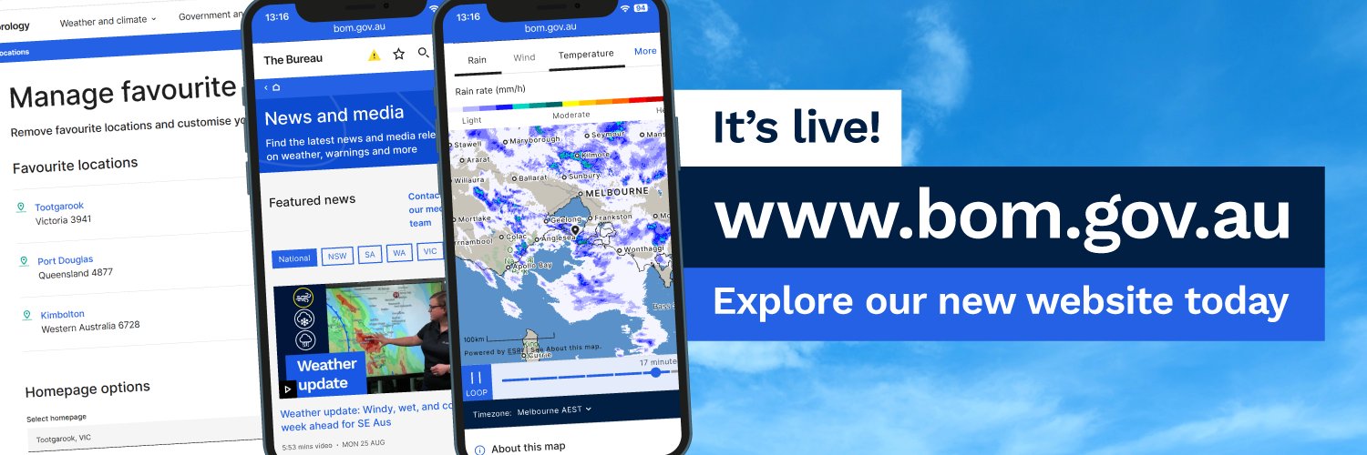
Visit https://t.co/JOxaYUlsYd to explore our latest website update:
· see your recently visited locations wherever you use search
· less clicks to get to Doppler wind & estimated rainfall radar images
· more place names to the weather map
Learn more: https://t.co/mL3VgYeqmy
Significant rainfall is forecast for central & southern #WA. Parts of the #Gascoyne, #Pilbara, #Goldfields, southern parts of the Interior, northern parts of the #SouthWestLandDivision will be impacted.
Latest: https://t.co/4W35o8iFmh or the BOM Weather app.
National Weather Forecast: Mild and gusty in the east. Rain approaching from the west. Video current: 1pm AEST Thursday 11 June 2026.
Latest forecasts and warnings: https://t.co/4W35o8iFmh or the BOM Weather app.
Here's today's forecast for capital cities around Australia.
For the latest forecasts and warnings, visit https://t.co/4W35o8iFmh or the BOM Weather app.
Learn how to find forecasts, observations and warnings for your local area on https://t.co/4W35o8i7wJ
For more website tips, visit https://t.co/NYIrMh7n8i
#BOMWebsiteTips
Parts of eastern #Australia are forecast to experience showers and storms during the middle of this week, primarily for parts of southern #Queensland & northern #NSW.
Latest: https://t.co/jlOoTZL1iF
An unseasonal rain band will bring significant rainfall to #WA on Thurs & Fri. #Gascoyne, #Pilbara, #Goldfields, southern parts of the Interior, northern parts of the #SouthWestLandDivision to be impacted.
More: https://t.co/4W35o8iFmh
National Weather Forecast: Rain and storms in the west & east. Heavy falls for WA. Video current: 2pm AEST Wednesday 10 June 2026.
Latest: https://t.co/4W35o8iFmh or the BOM Weather app.