A cold front sitting across the region today could fire up some isolated storms this afternoon, but most will remain dry. Dry and sunny weather continues for Friday and into the weekend, with temperatures looking to return to the 90s again by early next week.
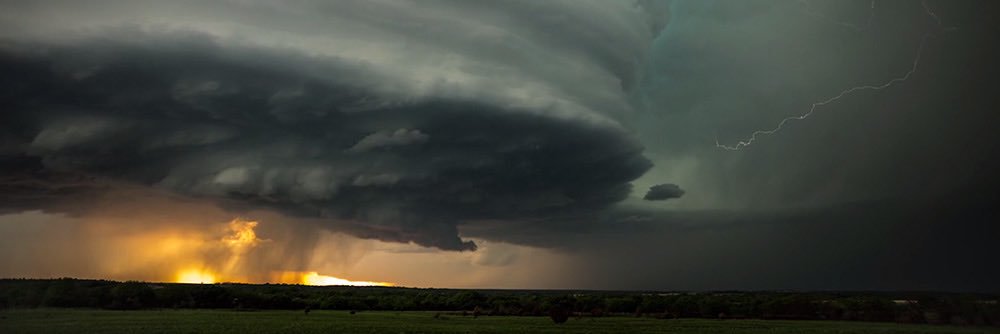
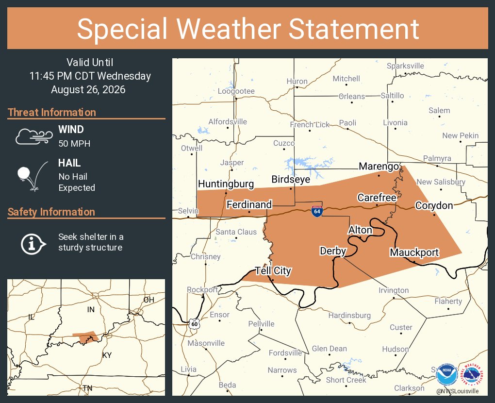
[8:36PM] Strong to severe storms with gusty, damaging winds are moving toward the US 50 corridor of Southern Indiana. 60 MPH winds and small hail are the main concerns. These should be weakening shortly with the setting sun.
7:47am CDT #SPC Day1 Outlook Slight Risk: across parts of the southern Great Lakes/Midwest, central High Plains, and Ozarks/Mid-South into the lower Mississippi Valley https://t.co/TgJgC6cj9Y
Temperatures are expected to begin to climb into the 90s by this weekend, and especially for next week. Just how hot we get remains uncertain, but we could be dealing with lower humidity this time around, which will help keep our heat indices from being extreme.
A cold front will pass through the region tomorrow, and will support isolated to scattered showers and storms tomorrow afternoon. Risk for severe storms remains low, but any stronger storm could produce gusty winds. Best chances for any storms will be south of the KY Pkwys.
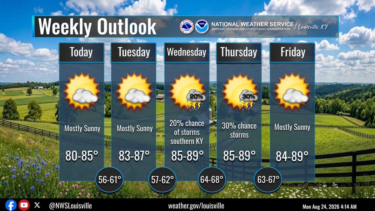
Dry and pleasant weather continues for today and Wednesday. A few isolated showers/storms are possible late Wednesday night with a better chance of storms on Thursday. Dry weather returns for Friday and through the weekend. #kywx#inwx







![WAVE3Weather's tweet photo. [8:36PM] Strong to severe storms with gusty, damaging winds are moving toward the US 50 corridor of Southern Indiana. 60 MPH winds and small hail are the main concerns. These should be weakening shortly with the setting sun. https://t.co/pR3VFuqkMT](https://pbs.twimg.com/media/HQsGsK3WsAEms2I.jpg)


