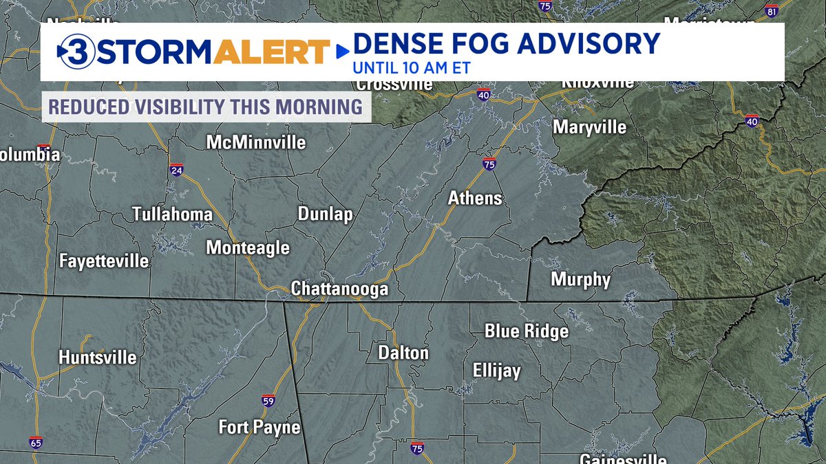
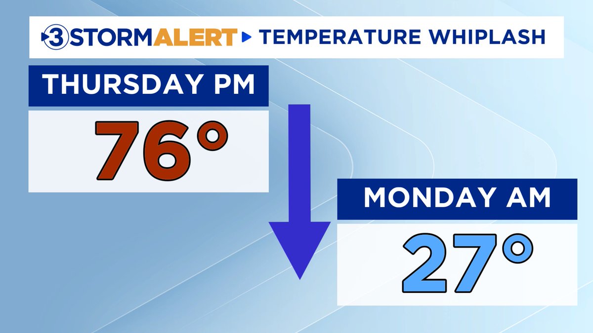
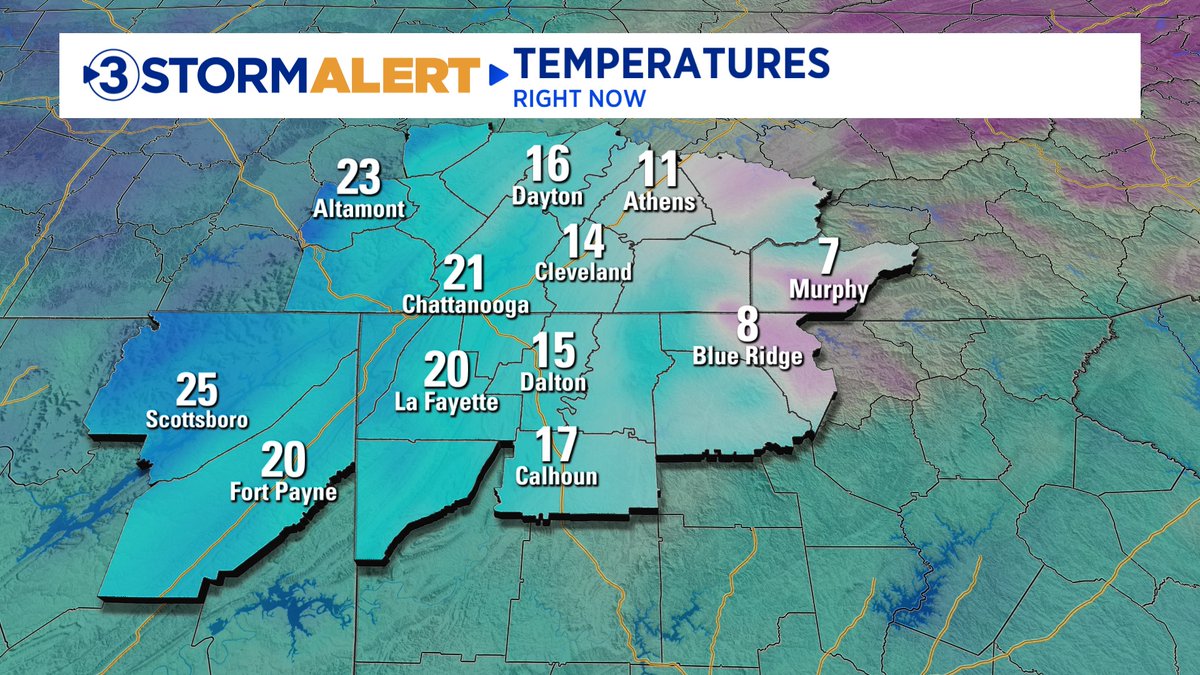
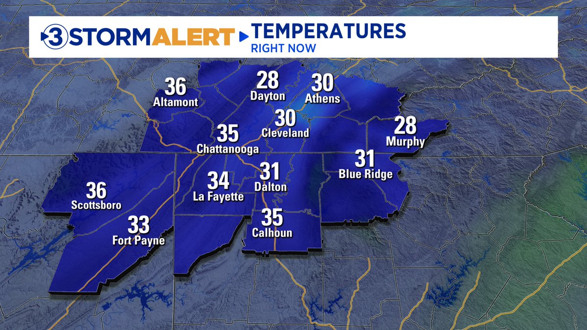
DENSE FOG THIS MORNING ⚠️
Dense fog advisories are in effect for our entire coverage area until 10:00 AM ET. Visibility will drop below a quarter mile at times, resulting in difficult travel conditions this morning. Be careful out there!
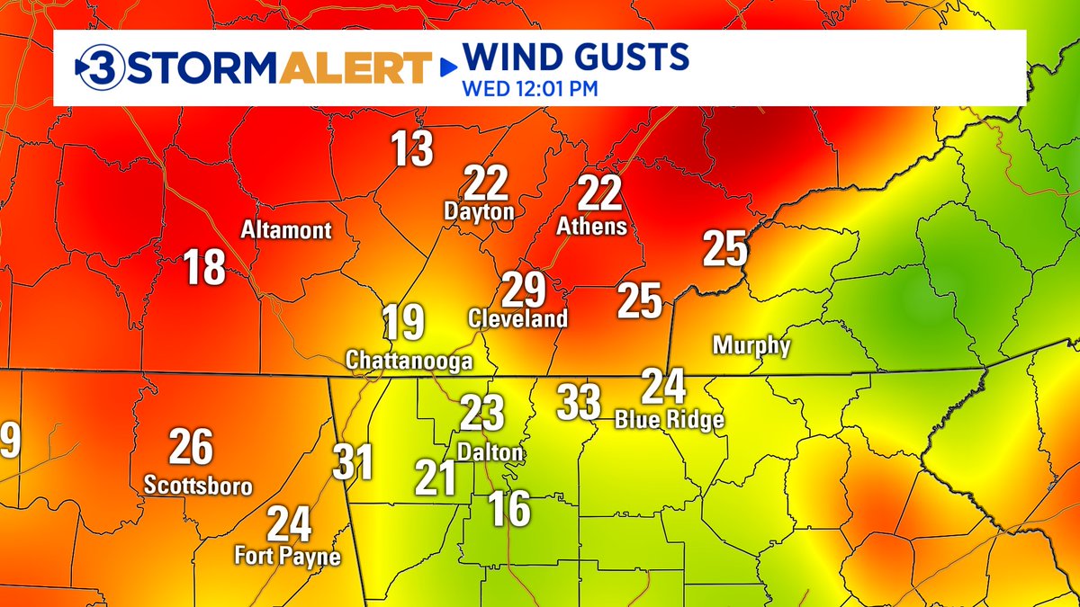
Hundreds of homes are without power this morning after strong wind gusts of 40-55 mph moved through the Tennessee Valley last night. Do you have power this morning?
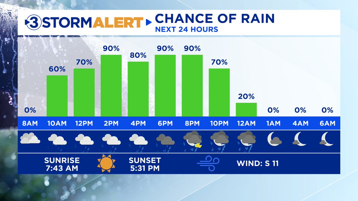
Scattered light rain will move through this morning, with heavier showers developing after 4 PM. There could be a few rumbles of thunder this evening, but the severe threat is low today. Showers and storms will taper off around midnight as the cold front passes to our east.
CHRISTMAS OUTLOOK 🎄
Here is a first look at your Christmas forecast. We are still a little over a week away, but confidence is growing that Santa will bring us a warm Christmas this year!
PREPARE FOR STRONG WIND GUSTS TOMORROW 💨
A strong low-pressure system will move across the Great Lakes tomorrow, leading to a tight pressure gradient across the eastern half of the country. This will lead to strong wind gusts of 30-40 mph beginning tomorrow morning
Radar Check 6:26 ET (11/25): I’m watching an area of severe storms moving across portions of Alabama this morning. This line could clip portions of DeKalb (AL), Chattooga (GA), Walker (GA), and Gordon (GA) Counties over the next hour. 50-60 mph wind gusts will be possible.