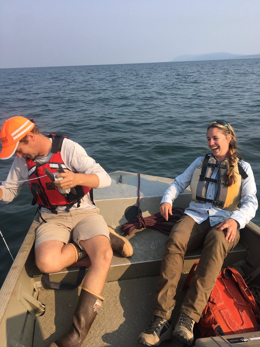
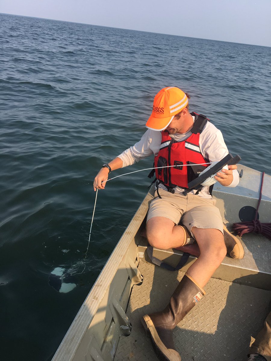
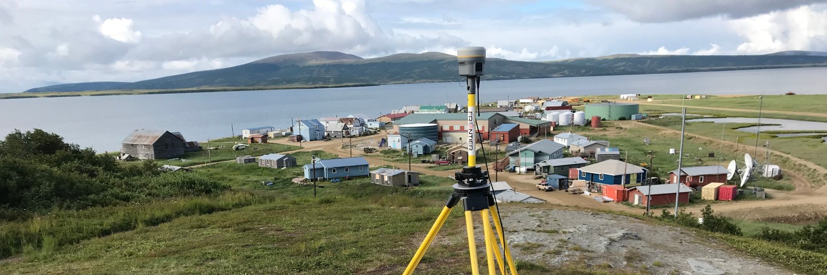
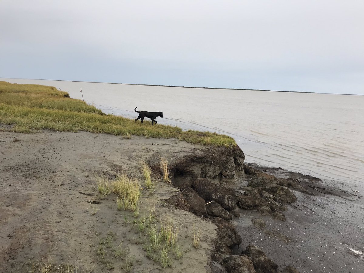
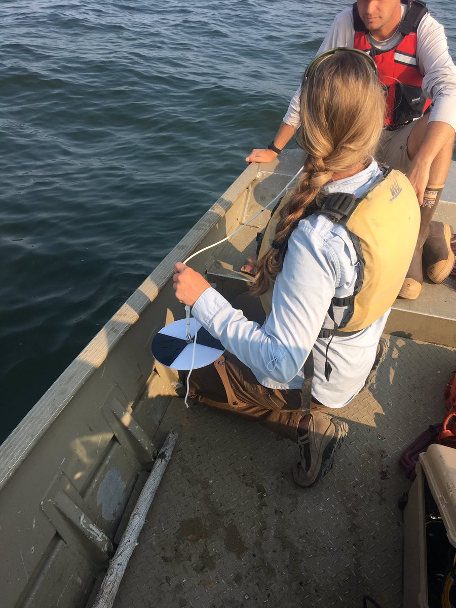
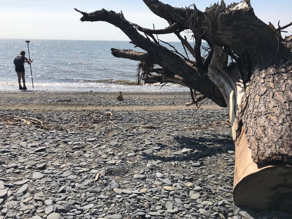
Roberta Glenn will be starting a masters degree working on community based monitoring, enhancing how community members and scientists work together to answer the questions of how our environment is changing. https://t.co/rPh6W5jjVn
This orthorectified aerial imagery shows the difference in coastline in Newtok, Alaska in the 50s vs. 2015.
More info about orthorectified imagery can be found here: https://t.co/DIGVHjjbMe
@ColdCoastsAK#coastalerosion#imagery
DGGS' Coastal Hazards scientist @ColdCoastsAK studies #coastalerosion using orthorectified imagery, as shown below for the western Alaska community of Kwigillingok.
#Orthorectifiedimages are geometrically corrected so the scale is uniform & can be used to measure distance.
The successful applicant will use knowledge of coastal geomorphology, GIS geospatial data analysis and processing, & airborne/satellite remote sensing products to make meaningful contributions to the Coastal Hazards Program. More info, and to apply: https://t.co/rYp8AQQ8lQ
We're #hiring a Geologist I in Anchorage to work in the Coastal Hazards Program contributing to coastal shoreline change and natural hazard studies. This is a long-term nonpermanent position (at least 2 yrs). More info, and to apply: https://t.co/rYp8AQQ8lQ
There was a major coastal storm that hit western Alaska today. Camera shows sea ice berm forming from the waves. #argus#coastalstorm#alaska#coastalchange https://t.co/7Ndu0n18I1
The websites will take a bit to catch up, but for now we're going with a magnitude of 7.0 and a location about 10 miles north of Anchorage. The website is overwhelmed with traffic currently, so watch here for updates.