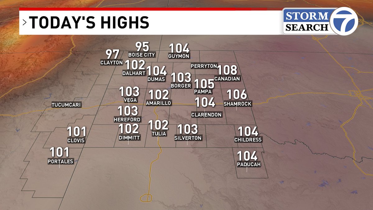
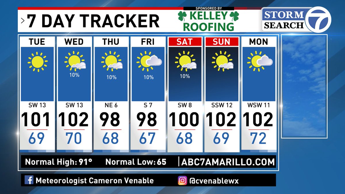
Well, our brief break from triple digits is over. We're heading back to the 100s for most of this week. If the forecast holds true, we could see 5 more days added to the count...Can we pump the brakes a bit? Let's hope September doesn't turn up the heat even more.
Better luck next time...Amarillo missed out on rain this weekend, even with storms nearby. Why? Outflow! Outflow boundaries are great if they stay near storms; if they get too far, they actually weaken or kill the storms. Big rain winners this weekend, the Oklahoma Panhandle.
Both nights I looked at the radar & knew we'd miss out. Saturday night was the classic outflow way too far from storms. Sunday was more interesting, with numerous outflow collisions just North of town...but storm motions were N/NE so once again another miss.
So close yet so far away? Healthy zone of storms but advancing outflow MAY limit our storm chances in Amarillo. General rule of thumb, if outflow races ahead of storms…they die. If storms stay near outflow, they can fire new storms. Fingers crossed!
Another hot day in the Panhandles…Amarillo is up to day 26 of hitting 100-degree temperatures. The average? Just five days annually. We're about to secure the #3 position. 2024 is #2 with 36 days. 2011 is #1, with 50 days of 100-degree heat! Let's avoid that if possible.
Most of the storms have been focused in the NE Texas Panhandle. In terms of storm environment, it's very similar to yesterday, with decent energy in place but non-existent wind shear. I haven't been able to post nearly as much as usual. Still getting adjusted to the workflow.
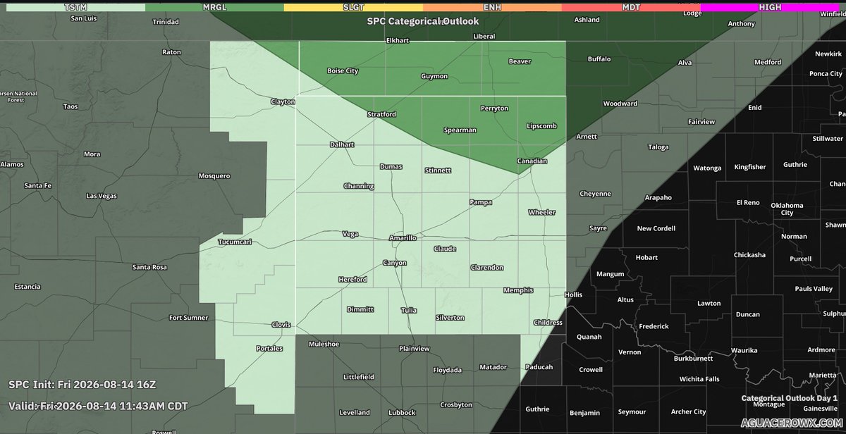
Another hot day with spotty thunderstorms popping up. As always, they usually originate near the hottest locations; in this case, it's the NE Texas Panhandle. I am expecting more severe storms through the afternoon into tonight. Storms will be hit/miss.
So one of the problems today will be thunderstorms with dry lightning, or storms that produce lightning but no rain. Sounds like this fire near Paducah was a dry lightning start. We MAY have more fires today, be fire weather aware.
So there are various ways to look for hotspots on Fire Weather Days. Band 7 Shortwave IR shows hot spots in black. Meanwhile Fire Temperature, shows hotspots in orange/red. If you look near Paducah & SW Armstrong County...could be possible fires. Be fire weather aware today!
Appreciate all the kind comments, friends! Sorry for being not as active lately. Just been swamped with all the onboarding material with this new job. Once I get through it, it’ll be back to frequent posting.
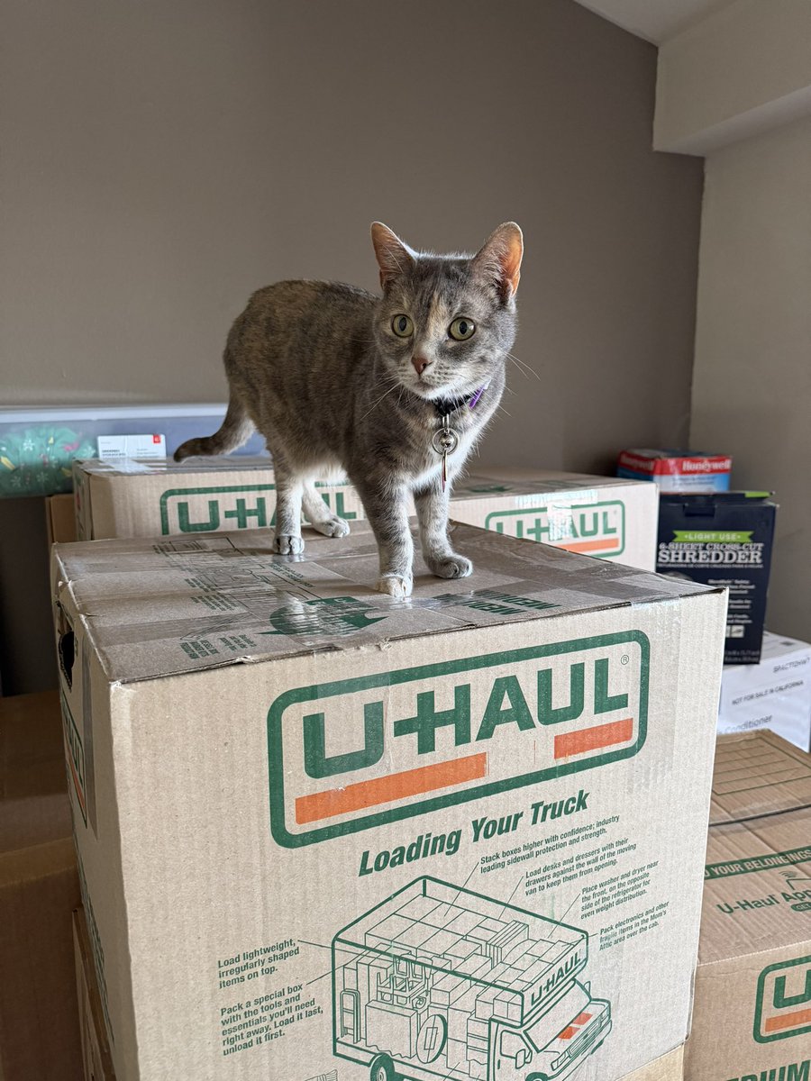
I’ve been somewhat disconnected from the online world since moving from Wichita to Amarillo. However, I’m thrilled to share that I’m finally starting my first day at ABC7 KVII!