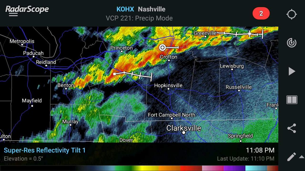
As expected...thunderstorms have increased across the area. None are severe. This is the very beginning of a pattern change that should arrive in about 6 or 7 days.
A cold front should move through the region early next Tuesday with the hint of some relief from the oppressive heat and humidity. I continue to see signs that a pattern change may be in the offing within the next 10 days. Hopefully we are on the backside of the worst heat.
The National Weather Service in Paducah has issued an Excessive Heat Warning, for Western Ky which is in effect until 8 PM CDT this evening. The Heat Advisory is no longer in effect. . The peak heat index this afternoon will range from 108 to 114 degrees.
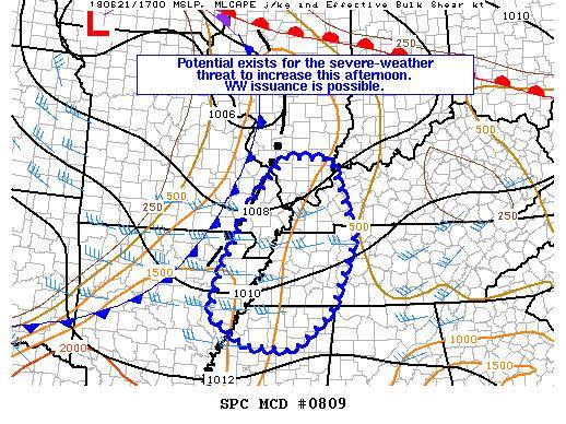
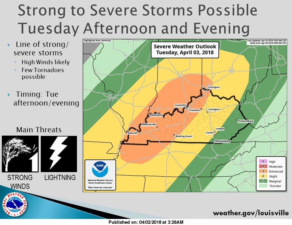
Keeping an eye on the severe potential. SPC says a sixty percent chance a watch will be issued. Hopefully the lack of sunshine will hold the threat down. Trigg Co. is in the slight risk area while Christian Co eastward is in the marginal riskn for severe storms.
A few storms are starting to develop across southern parts of W Ky. But they are moving to the west which is a little unusual. This is due to the circulation around a low to our southwest.
As winds gist to 30 to 40 mph across https://t.co/WWnrLxHQWt along with low humidity will lead to elevated fire danger today and Friday. Avoid burning if possible.
From the NWS
Some wet snow may mix with light rain, mainly today. However,
surface temperatures will remain above freezing, and travel
impacts should be minimal. There could be some reduced
visibility and/or slushy spots if the snow were to come down
hard enough at times.
Many areas of southern west Ky could see upwards of 2 to 3 inches of snow this evening. There is a possibility it could be more. Winter Weather Advisory in effect.