Nice and dry weather continues through Tuesday, then shower and storm chances return starting Wednesday. There is potential for severe thunderstorms on Thursday, along with hot and very breezy conditions. #PAwx#NJwx#DEwx#MDwx
☀️ Another mostly sunny, dry, & very pleasant day ahead with temps in the mid to upper 70s. Some scattered showers/storms possible overnight & into Wed, but no severe storms expected.
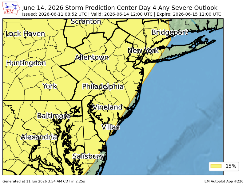
Thurs will be hotter and very breezy, with a risk of severe storms. #PAwx#NJwx#DEwx#MDwx
8pm EDT 11 Jun -- We are continuing to monitor the Bay of Campeche where a broad area of low pressure is likely to form on Friday. The system still only has a low chance (10%🟡) to become a tropical cyclone before it moves inland over eastern Mexico by Sunday.
Latest Outlook: https://t.co/ZByX9DM4UV
⚠️🔥 One day left of the oppressively hot and humid conditions. A few severe storms will be possible again this afternoon and evening, but not everyone will get a storm. It will turn much less humid for Saturday, but high temperatures will remain in the upper 80s to near 90°.
⚠️🥵⛈️ The hottest heat indices so far this year are expected today, topping out near 100° this afternoon in most areas. Near record breaking highs in the low to mid 90s. A Heat Advisory remains in effect through Friday for portions of the area. #PAwx#NJwx#DEwx#MDwx
Good Morning,
Some areas are seeing overcast conditions, even a localized shower is possible before some clearing this morning and returning heat and humidity with the chance of severe weather possible later this afternoon and evening. More to come on that threat later.
⛈️ Scattered showers and storms are forecast to develop this afternoon and evening. A few storms could be strong to severe, with locally damaging winds and brief heavy downpours possible. #PAwx#NJwx#DEwx#MDwx
Good Morning! Much more tranquil weather for today with temperatures cooler than yesterday. As a cold front passes, a few showers can't be ruled out, especially near the coast, but nothing like yesterday. #NJwx#PAwx#MDwx#DEwx
The HRRR model shows the estimated arrival of the thunderstorms tonight. Expect storms to cross into NW NJ between 6-7 PM, then approaching the NJ Turnpike by around 8PM, then reaching the coast by 9PM. Stay safe and follow the NWS Mount Holly for alerts! #NJwx