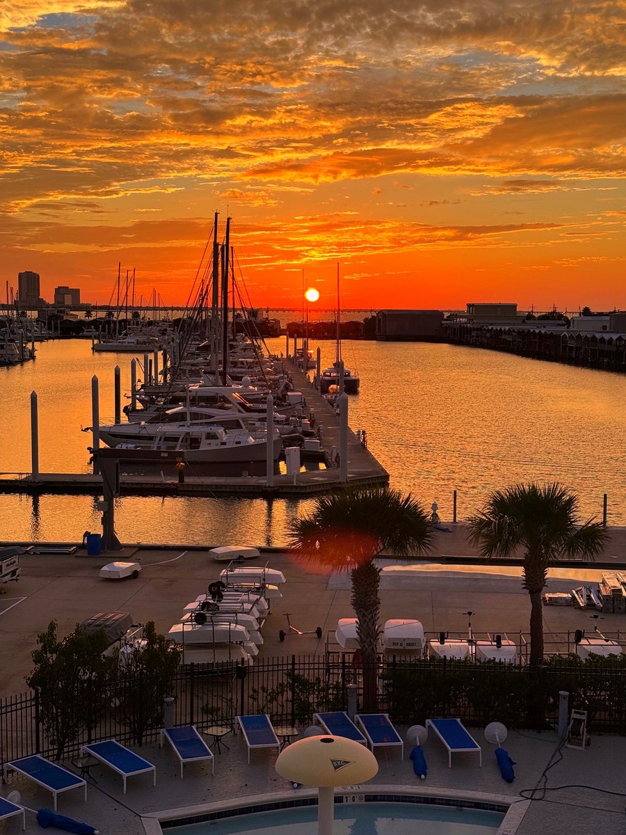
Holy. Crap. HELLO FALL!!! Yes... for those not totally familiar with New Orleans weather, THESE are some of our best days!!! (Any dew point below 70° feels awesome for us... especially when just coming out of summer!) @wdsu
Tracking the cold front moving through right bringing the last of showers and storms before another long lived dry stretch takes over. I've got your weekend forecast too, on @wdsu news at 4. See you then!
Tracking showers and storms along a cold front. If you didn't get any rain today, you still have a chance late tonight and tomorrow. I'll have new forecast data to show you on WDSU news at 10 tonight! @wdsu
Tracking a few isolated downpours right now, and it's HOT! A Heat Index of 102° right now in NOLA. A cold front is on its way! Storms likely ahead, along, and behind it. I've got new information on the timing and temps/humidity behind it on @wdsu news at 4. Always tropics too.
Flood Advisory for parts of St Charles and St John the Baptist Parishes until 6:30 pm. Radar has estimated up to around 3" in some spots with rain rates up to 4"/5"/hr coming down right now! I-10 west out of the Bonnet Carre will be slow! @wdsu
A Flood Advisory has been issued for St. John The Baptist, St. Charles until Sep 22 6:30PM. A full forecast can be found at https://t.co/ljMNQYInUN #lawx
Tracking storms! It's been a while, but most are still west of New Orleans. Lafourche Parish is finding most of the rain right now acros Southeast Louisiana but Baton Rouge has got the strongest storm right now. @wdsu