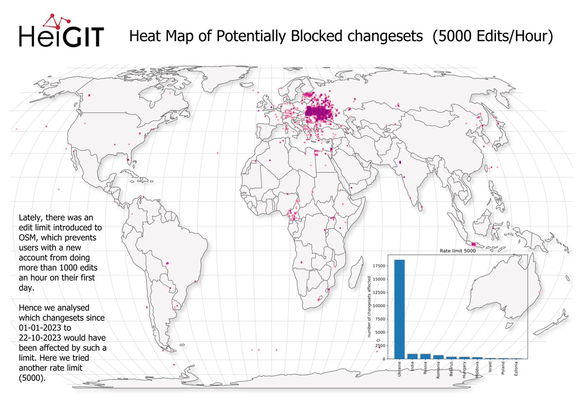
#OpenStreetMap introduces new rate limit feature.
The rate limit prevents new users from mass editing #OSM data by deleting too many objects or tags. A first measure against map vandalism.
Read about all the details here: https://t.co/6zJUPgkitQ
#mapping#opendata#missingmaps
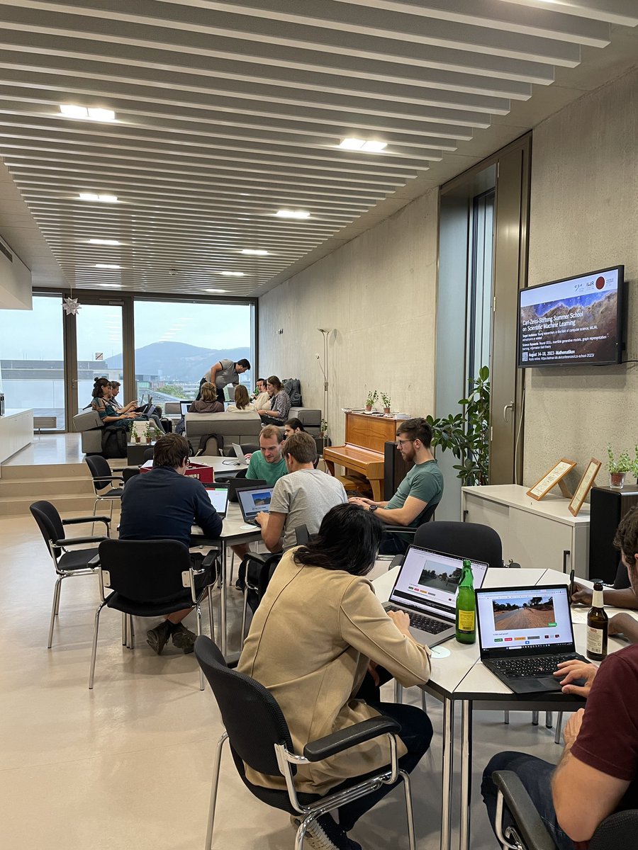
🗺️Hi Everyone! We would love to have you at our #Mapathon.
No experience needed. Just bring your laptop and a mouse💻🖱️
📅Thursday, 26/10/23
⏰6 p.m.
🚩Mathematikon, INF 205, 5th floor (IWR)
Snacks and drinks will be provided🍕🥤
#GIScience#MissingMaps#drk#disastermappers
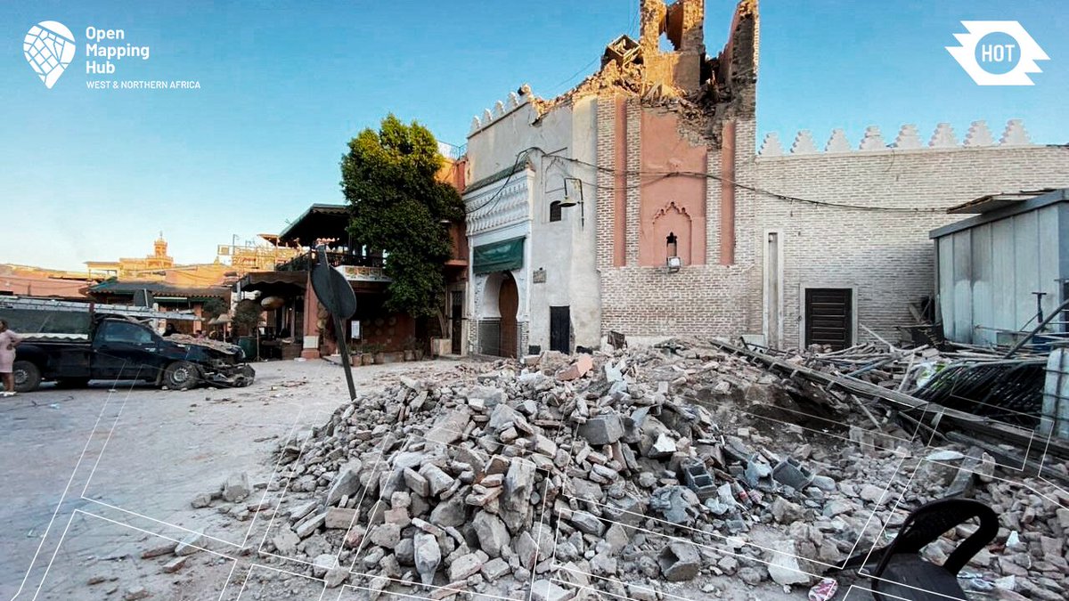
Urgent Call for Mappers and Validators!
In the aftermath of the earthquake in Morocco’s High Atlas mountains, we need your support to help map the affected area.
You can be a part of this critical mission by joining the project in HOT's Tasking Manager: https://t.co/cfg7yadoVT
We are on maximum alert following the earthquake that shook Morocco. The team and local communities are acting to map the areas affected and provide reliable, up-to-date geographical information to humanitarian actors on the ground.
Join us : https://t.co/gKwjni3U1A
💻🗺Join the Missing Maps London September mapathon tomorrow! This monthly event not only for UK folks, as it's online, welcomes participants of all levels, including new mappers.
📅 Tuesday, September 5, 2023, from 6pm UTC
🖊 Register via @eventbrite ⬇
https://t.co/6nI9T3fiWM
🗺️ Help evaluating the road quality of freely available images in the next Mapathon by classifying them accordingly (with @GIScienceHD).
📅Monday, 31.07.2023
⏰ 6 p.m.
📍INF 205, 5th floor conference room
📢Dr. Nil Fulman "Street view imagery in GIScience: trends and challenges."
🗺️ Help evaluating the road quality of freely available images in the next Mapathon by classifying them accordingly (with @GIScienceHD).
📅Monday, 31.07.2023
⏰ 6 p.m.
📍INF 205, 5th floor conference room
📢Dr. Nil Fulman "Street view imagery in GIScience: trends and challenges."
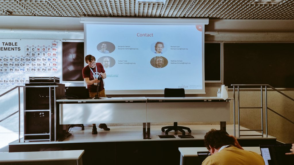
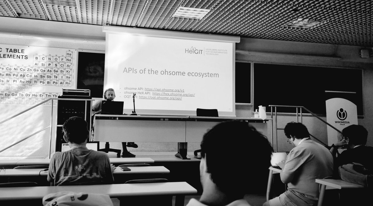
Get in contact with @GIScienceHD, if you want to learn more about the ohsome ecosystem (contacts on the 1st pic, links on the 2nd). Engaging conversations took place with @UN_Mappers, @UniversityLeeds team and others after model exercises. This #SotM2022 workshop was not recorded
We had an amazing workshop with ~40 participants yesterday at @sotm!
You can check out the slides here: https://t.co/Jt6fQB3HEs
And our gitlab repository with the workshop material here: https://t.co/cC8l41dYi6
More to come!
#stateofthemap2022#SotM2022
Mamapa Vortrag und Diskussion zu “Humanitäre Kartographie mit OpenStreetMap” im Rahmen der Internationale Wochen gegen Rassismus 2022 https://t.co/99OPIKnr3x
@GIScienceHD The guide explains the most basic steps you need to know to answer the question: which @openstreetmap data should I include in my analysis.
@EmergencyComms@openstreetmap@mapswipe@RedCross In mapswipe at least 3 different mappers will check each building. In openstreetmap it‘s less clear or at least a bit more difficult to say how many mappers actually check if a building is mapped correctly.