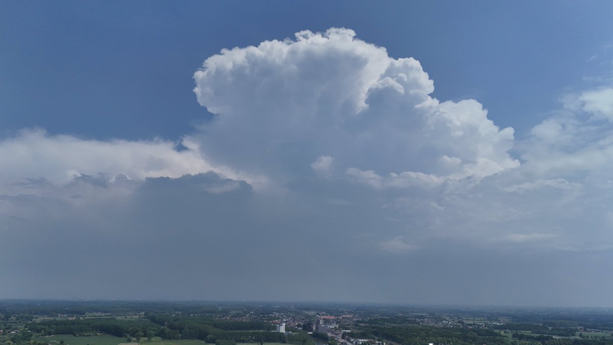
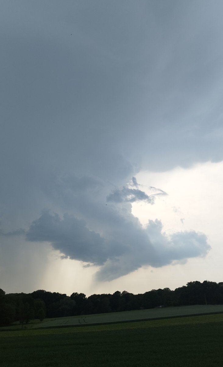
High-end MCS core passage over #Deinze (BE) at 19:45.
In line with the Level 2 forecast, the system maintained exceptional organization, producing destructive downburst winds, large hail, and intense electrical activity.
@Djpuco@kevinalves83@KeraunosObs
Stunning display of #mammatus clouds near #Oudenaarde (BE) 21:15 Gold illuminated structures visible on the underside of the massive storm anvil. Incredible visual ending to a highly dynamic day.
Explosive development over #Flobecq (BE) 18:50
This cell went from birth to a severe HP Supercell in a matter of minutes.
Massive updraft tower directly next to an intense purple precipitation core.
Unleashing high CAPE energy right now.
@kevinalves83
Severe #multicell/#supercell near Fleurus/Sambreville 17:35
Intense mesocyclone rotation visible on Doppler velocity radar, roughly 60km east of my location in #Flobecq.
The storm exhibits a strong inflow.
Watching the anvil and overshooting top from a distance.
@kevinalves83
Incredible vertical contrast near #Oudenaarde! 📸Very low LCL with explosive Cumulonimbus development and strong updrafts forming towering structures and a well defined anvil. Clear signs of a stationary core with retrograde motion. 🇧🇪🌧️ #Belgium#Weather
Multicell thunderstorm near Annecy (FR) 14:10
Heavy rain and outflow winds (70km/h) with possible brief hail earlier.
Visible shelf clouds and small mammatus on the flank.
The cell moved fast over the lake to the mountains.
@kevinalves73100
Spotted brief funnel clouds near Le Grand-Bornand (#FrenchAlps) around 18:50 forming under the left split of a #supercell#storm near #Chambéry. Likely shear funnels short lived but impressive in such mountainous terrain! 🌩️🇫🇷
#Météo#SevereWeather
@MeteoWard Dit was de zware cel pulse-type Cb met forse verticale ontwikkeling. Die lokaal in de zuidelijke helft 50mm en meer voor wateroverlast zorgde.
🌩 13/06/2025 13:45
Een krachtige #onweercel met duidelijke organisatie en intensieve neerslagskern trekt van #Ronse richting #Gent en #Antwerpen. Radar toont sterke reflectiviteit en velocity-data wijst op rotatie. Kans op grote hagel, felle windstoten en lokaal een #windhoos
📸 Om 23u boven Deinze: de buienlijn die als supercell boven #Brussel actief was, trok door richting het westen.
Imposante structuur zichtbaar bij passage, maar activiteit neemt intussen duidelijk af.
#onweer#storm#supercell#Deinze