Husband, Family man, Senior Sign Designer, Explorer of Texas countryside & interesting places, developer & host of Rio Luna Cottages, Guitar aficionado.
The Arcane Texas Fact of the Day:
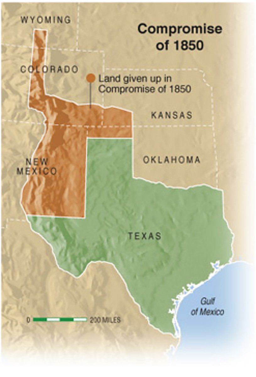
173 years ago today, back in 1850, the state of Texas suddenly got a lot smaller when it agreed to give up its claim to hundreds of millions of acres of land in New Mexico, Colorado and Wyoming in what's called the Great Compromise of 1850. What happened was this:
Texas had claimed the areas in what's now New Mexico, Colorado and Wyoming since gaining independence from Mexico in 1836 ---- claims that were only strengthened by the terms of the settlement of the 1846 U.S.-Mexican War. At the same time, Texas was having a hard time paying off the millions of dollars it still owed the United States under the terms of its annexation to the United States in 1846. Meanwhile, folks in Taos and Santa Fe were saying "Hey, we don't want to be part of Texas. We want our own place." Various land-for-debt-relief proposals were made, but none gained traction.
Finally, Senator James A. Pierce of Maryland introduced a bill that offered Texas $10 million in exchange for ceding to the national government all land north and west of a boundary beginning at the 100th meridian where it intersects the parallel of 36°30', then running west along that parallel to the 103d meridian, south to the 32d parallel, and from that point west to the Rio Grande. The bill had the support of the Texas delegation and of moderate leaders in both the North and South. Holders of bonds representing the debt of the Republic of Texas naturally lobbied very hard for the bill because it specified that part of the financial settlement be used to pay those obligations. The measure passed both houses of Congress in the late summer of 1850 and was signed by President Fillmore.
Though there was some opposition in Texas to accepting the proffered settlement, voters at a special election approved it by a margin of three to one. The legislature then approved an act of acceptance, which Governor Bell signed on November 25, 1850.
This is why we can't go skiing in Taos, Texas. 😉😀
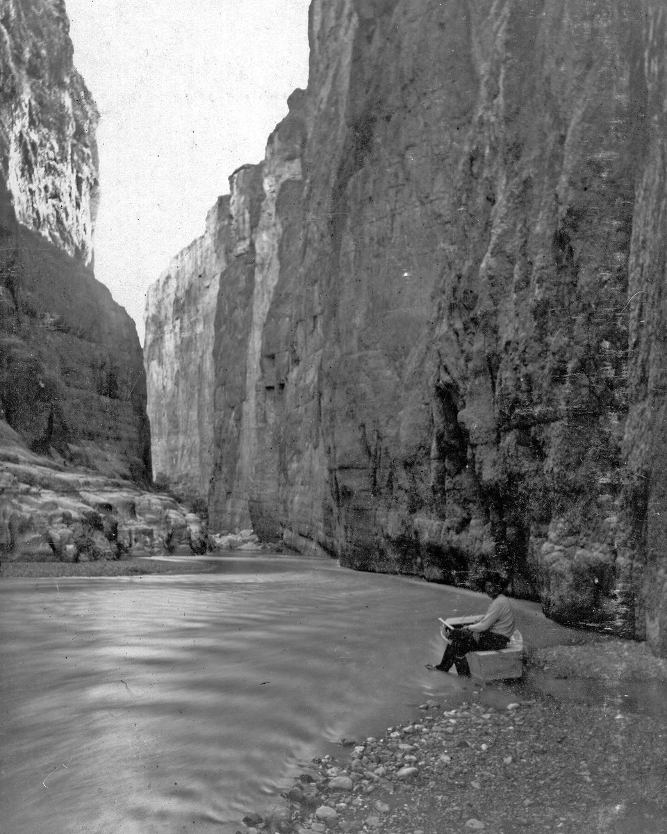
In October 1899, U.S. Geological Survey (USGS) geologist Robert T. Hill led a six man expedition to explore and document the canyons of the Rio Grande, a place he described as "the longest and least known." Traveling in three boats, the expedition took nearly an entire month to travel from Presidio to Langtry, Texas.
Hill packed photography equipment into the boats, and took a series of photographs, both during and after his river voyage.
Two years later, Hill published an article describing his voyage, and describing the Big Bend region in the colorful language of the period. It's a fascinating account.
Shown here: one of the expedition's members in a jonboat in Santa Elena Canyon. That's right: this photo was taken in 1899. Pretty great.
@MattWallace888@elonmusk@greg_price11 Most of my guests and friends ride their Harleys on the 3 Twisted Sisters scenic trail. Perhaps Tesla can develop a line of extraordinary motorcycles with safety features.
Native Idahoan and staffer @tysonbird thought he would lose the ability to see abundant fall colors with his move to Texas.
A trip to Garner State Park and Lost Maples State Natural Area proved him wrong and he's got the t-shirt to prove it. https://t.co/rNPgZygWTW