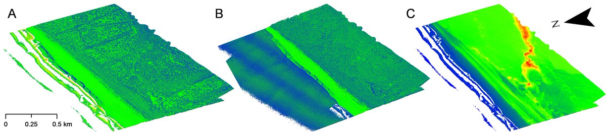
We are very pleased to announce that our recent findings were noticed by the well-known hydrographic and oceanographic magazine, @hydro_intl! Check this out: https://t.co/7I4IJS6VjI
#hydrography#bathymetriclidar
The recent project meeting was held on 8 March 2023 virtually. Participants were able to reflect on the topic of remote sensing exploration of the Puck Lagoon, managing to summarize the previous and schedule the next activities.
Thank you for invitation of GeoHab 2022 this year! It was a pleasure to provide the presentation concerning airborne lidar bathymetry datasets. We mentioned a brief sumary of the main research objectives reached in our last article: https://t.co/6eHFm9Dzqx
We are pleased to announce that the riskiest part of our project has been successfully completed! Visibility during the surveys was exceptionally good, so accurate bathymetry measurements are expected. We will keep you updated on the further progress of the project.
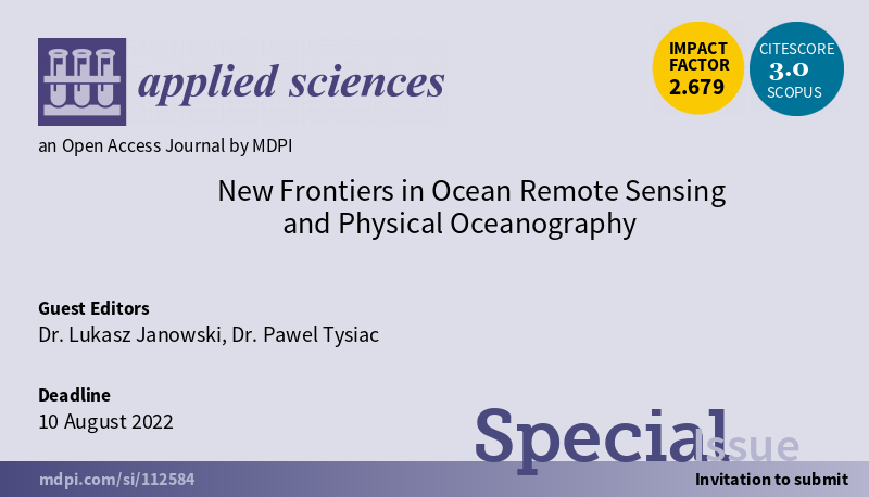
We invite all who are interested in Ocean Remote Sensing and Physical Oceanography to present their research in this Special Issue:
https://t.co/6vDeo7jHZv
We are excited to announce our cooperation with GISPRO company regarding aerial data surveying and processing. The service will include LiDAR bathymetry and photogrammetry surveys in the Puck Lagoon area.
Kick-OFF meeting of the project was held on 26 November 2021 in the headquarters of the Maritime Institute of the Gdynia Maritime University in Gdansk. We enjoyed your attendance, familiarising and creation of potential for future collaboration. See you at the next meeting!
Great news! The project has been noticed by the National Science Centre and it is promoted through their website and social media (only in Polish). Check this out!
https://t.co/YF0GPmNiKl
https://t.co/fzJWZlnErQ