There's still time left to apply! Deschutes County has an opportunity for communities to apply for grants that will provide funding for projects that reduce the risk of wildfire.
Find more information and an application by visiting https://t.co/Pn6IXquq2f.
Tomorrow, our monthly newsletter the #FACCircular hits subscriber inboxes. The theme is "landscape treatments" and features a ton of great resources and ideas related to this timely topic.
Not a subscriber? No worries, quick fix. Get on the list here:
https://t.co/zdjNEX8Zt5
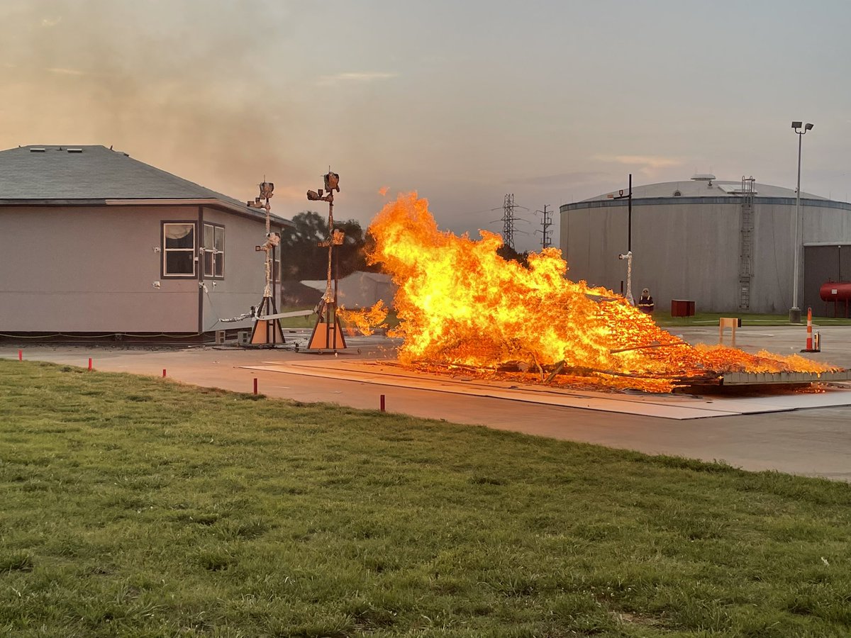
During a wildfire, thousands of burning embers can be carried by the wind and land on your home. When embers land on or become lodged in easily ignited materials on or near your house, they ignite those materials. IBHS’s Wildfire Prepared Home seeks to reduce that risk. #wildfire
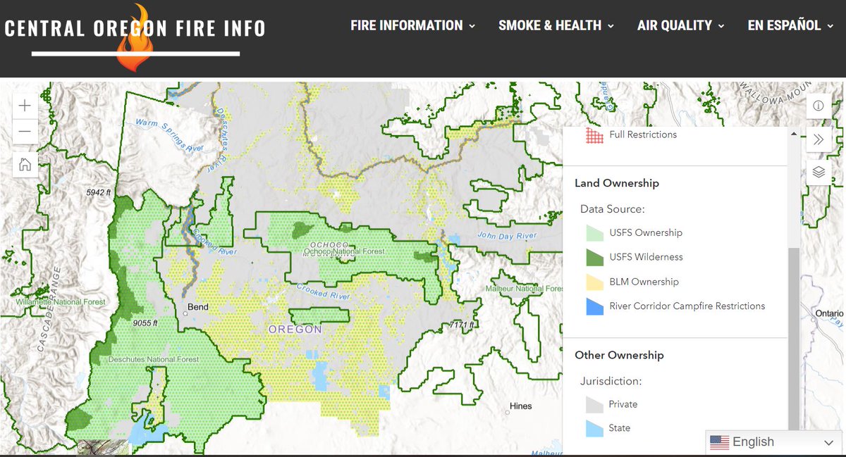
#DYK 🔥You can check fire restrictions across FS & BLM lands in Central Oregon (Deschutes NF, @OchocoNatForest & Prineville BLM) by visiting our new interactive map! #KnowBeforeYouGo#OnlyYou
🗺️https://t.co/kV00uR58g8
To filter particles from smoke out of the air in your car or home, recirculate the air flowing through your air conditioner.
Visit https://t.co/u0s9DoqBpG for more tips to stay healthy during fire season.
@ResQBrett @leftyloverbean Wildfire Hazard Zone would be an option - an area where the combination of human development and fuels could result in negative impacts if a wildfire occurs. I've heard people say "well, that's a rural area, they shouldn't have to have defensible space, this is for urban areas"
As Oregon rolls out it's attempt at mapping the WUI it's a good time to give look back at this article on the folly of thinking we can map it in the first place. The WUI isn’t a place at all, it is a set of conditions.
https://t.co/cwgH904WBZ
The July Project Wildfire newsletter comes out tomorrow featuring:
-release of a statewide wildfire risk map
-new resources to help prepare for smoke
-a recap of the June Project Wildfire meeting
If you aren't on the mailing list you can sign up here:
https://t.co/5XU7YG79j6
It’s official! The 2022 wildland fire season has arrived in the NW.
🔥Willow Creek Fire 12 miles N of Vale, OR, is 42,128 acres 45% contained.
🔥In WA, the Touchet Fire is 6 miles north of Touchet, WA. This fire is 3,000 acres and 90% contained.
https://t.co/5gEciPMiTV
Air quality index (AQI) is an index that can tell you how much pollution is in the air and what associated health effects might be a concern for you. Visit https://t.co/H1AtbiU1Mx to learn more about AQI and how to use it to protect your health.
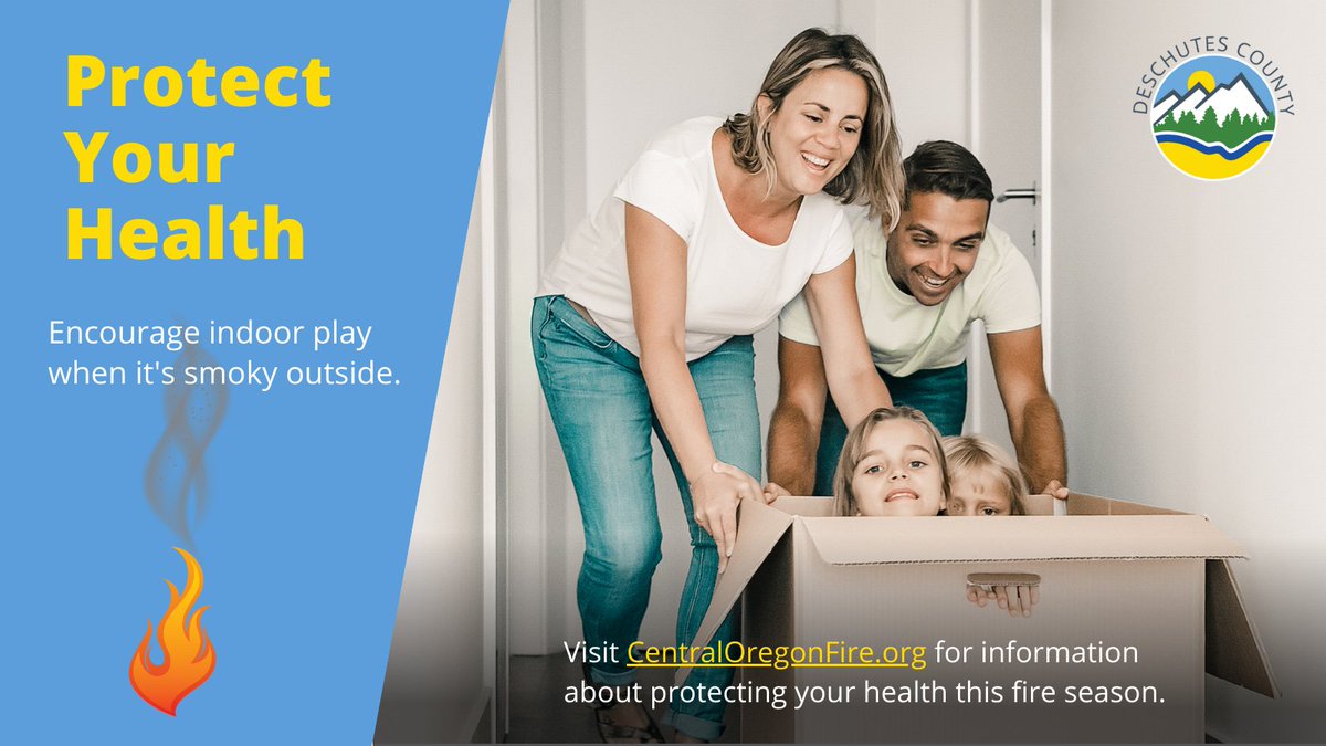
Protect your health this fire season. Stay hydrated and drink plenty of water when it's smokey outside. Visit https://t.co/u0s9DoqBpG for more tips to protect your health this fire season.
Our June newsletter went out yesterday and you can view it here:
https://t.co/FWBo3FDplH
Don't receive the newsletter? Hit the "join our list" button at the top of the page to sign up for future editions.