@callumkitson I was at St James last game of the season v Barnsley, we’d just scored to go 3-0 up we were all talking when suddenly a pocket in the Milburn stand erupted, I knew straight away, it spread like a Mexican wave around the ground, Villa had scored and we were the Champions
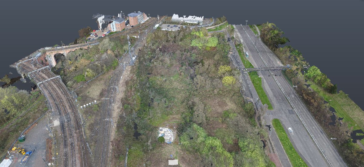
Lagoon Survey at Lynemouth Power Northumberland. The survey brief was to provide a Topographic Survey of the No 4 Lagoon and calculate the proposed volume of ash that can potentially be stored there. Survey carried out using a UAV flown at 120m above the Lagoon.
Client: Gateshead County Council
Project: 3D Drone Survey - Askew Rd, Gateshead
Using our DJI Inspire 1 with a Zenmuse X5 Camera - survey data was processed using PIX4D software to produce 3D Data (point cloud) as requested by the client.
https://t.co/5LnBtDrYal
#DJIinspire1
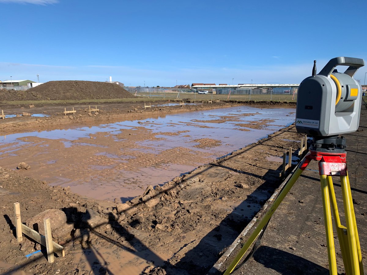
Setting out profile boards for DP Builders in Amble with our Trimble SX10 - just as good setting out as it is laser scanning. Great bit of equipment!
#trimble # trimbleSX10
https://t.co/5LnBtDrYal
Amble Marina - Northumberland
Laser Scanned using Trimble SX10.
Project - to establish the silt levels in the marina, then using the boat and a 4m ranging pole at high tide - punch through the silt to establish the rock levels.
#laserscanning#TrimbleSX10 https://t.co/5LnBtDrYal
Geomatics Uk Ltd recently completed a Laser Scanning survey of the Prince Consort Building for Gateshead County Council.
The project was completed using a FARO M70 laser scanner and registered in FARO scene 2019.
#faroM70#FAROscene#laserscanning
https://t.co/5LnBtDrYal
This week at Gateshead County Council property "Prince Consort Building" we carried out a full Laser Scan Survey to the exterior of the building.
Scanned using a FARO 120 3D Laser Scanner and processed in FARO Scene. 46 scans externally.
https://t.co/5LnBtDrYal
#laserscanning
@Geomatics_Uk Ltd working with Volker Stevin on the Lincolnshire Lakes flood defence scheme.
3.5km piling to reinforce existing flood defence assets.
https://t.co/5LnBtDrYal
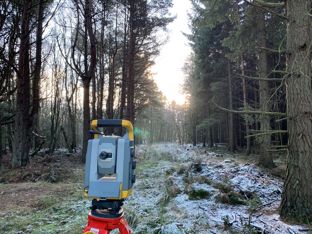
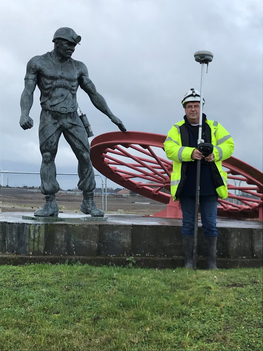
Site engineering works have commenced for Advance Northumberland on Ellington Colliery Housing Project. Initial survey of whole site to be carried out using a Trimble R8s GNSS receiver then data processed using Nforce to calculate any cut & fill required to road formation.
For the 3rd year running Geomatics Uk Ltd have been awarded another contract for the provision of Topographical Surveying Services to Gateshead County Council.
#toposurveys#topographic#surveys
https://t.co/5LnBtDrYal
Geomatics Uk Ltd working on Sea defences in Lytham St
Annes for VolkerStevin.
Also helping graduates using various types of setting out and
survey machinery.
#leica#trimble#survey#siteengineering#settingout
https://t.co/5LnBtDrYal
New kit delivered! FARO Focus3D X330 - the perfect instrument for 3D documentation & land surveying! TheFAROX330 can scan objects up to 330 meters away!
#farox330#faro https://t.co/5LnBtDrYal
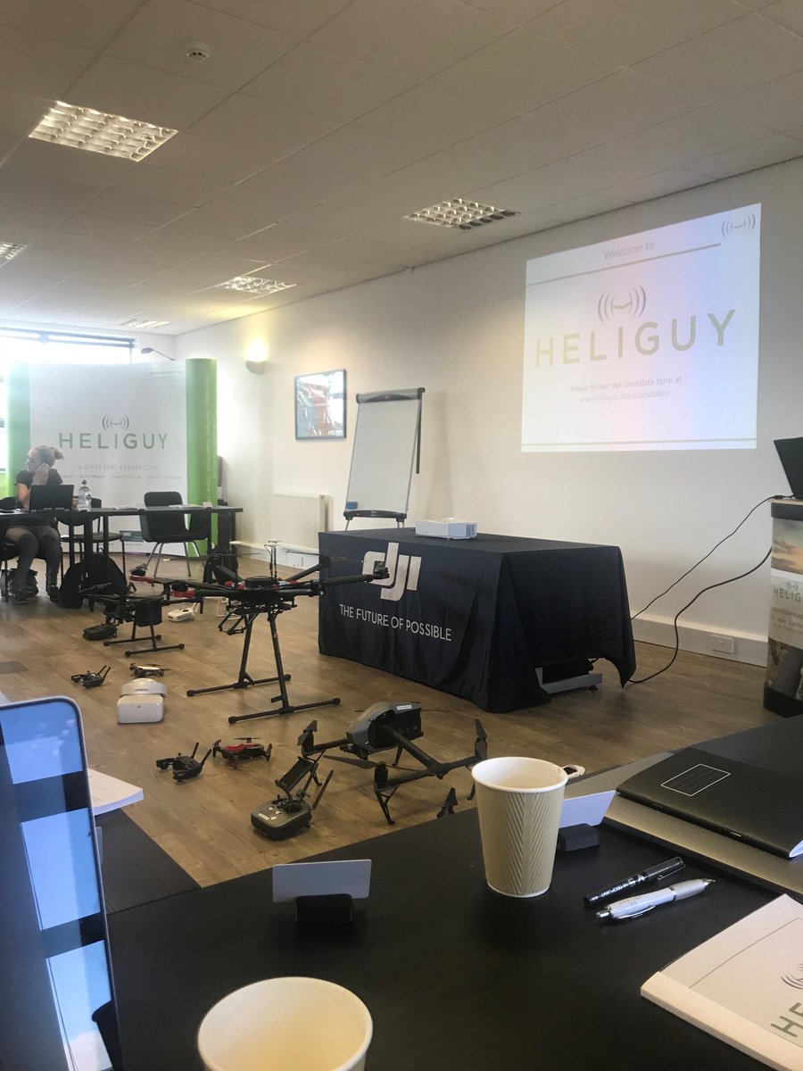
Congratulations to our Senior Site Engineer Pascal Butters upon successfully completing the Heliguy Drone Ground School training which encapsulated the CAA syllabus.
#drone#heliguy#CAA
https://t.co/5LnBtDrYal