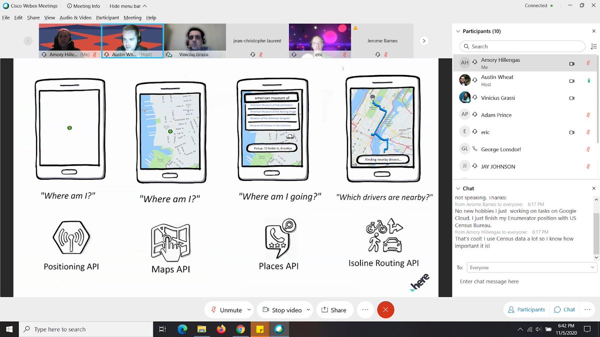
Thank you @here for a really fun presentation last night! I'm sure many of us order takeout🍕 or a ride share 🚘without ever thinking about all the cool location awareness 🌐 behind it, but now at least some of us will appreciate it!
The "Working with the HERE Location Platform - VIRTUAL EVENT" has been rescheduled to Thursday 11/5 @ 6pm. RSVP here! https://t.co/oxSqIStJE0 #Meetup@here
Thank you @KASurveys for sponsoring our Meetup subscription for the next six months! @KASurveys specializes in providing quality aerial surveys. Headquartered in Philadelphia, airborne data is collected at high and low altitudes in formats like digital imagery, film and LiDar.
Sponsor spotlight! Thank you @PromptWorks for sponsoring out Meetup subscription these past six months! @PromptWorks is custom software done right — from mobile apps to web applications. Proudly crafted in Philly and NYC. Check them out at https://t.co/HD4qxPsuvT
Come by the GeoPhilly Meetup next Weds:
@Omar4ur will show how #3DTiles can help you display high resolution 3D data like photogrammetry, time-dynamic LiDAR, 3D buildings, and architecture models.
See you on June 18th at @FrankfordHall for our Summer Mappy Hour with Philadelphia Women in #GIS (WiGIS) and @MaptimePHL! 🏖🗺🍻
https://t.co/xlDP3oKiu8
Paul Sesink Clee and Tim Haynes of #CityGeo show how GPS receivers on @PhilaStreets sanitation and highway vehicles update every 15 seconds. GPS uses trilateration to identify where the truck is on the earth. @GeoPHL@PHLInnovation#gis
Looking at a typical Thursday in Philadelphia and how @PhilaStreets sanitation trucks operate. From week to week the routes are consistent! #citygeo@GeoPHL