Hello all,
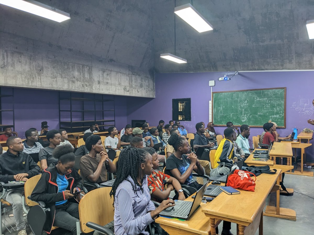
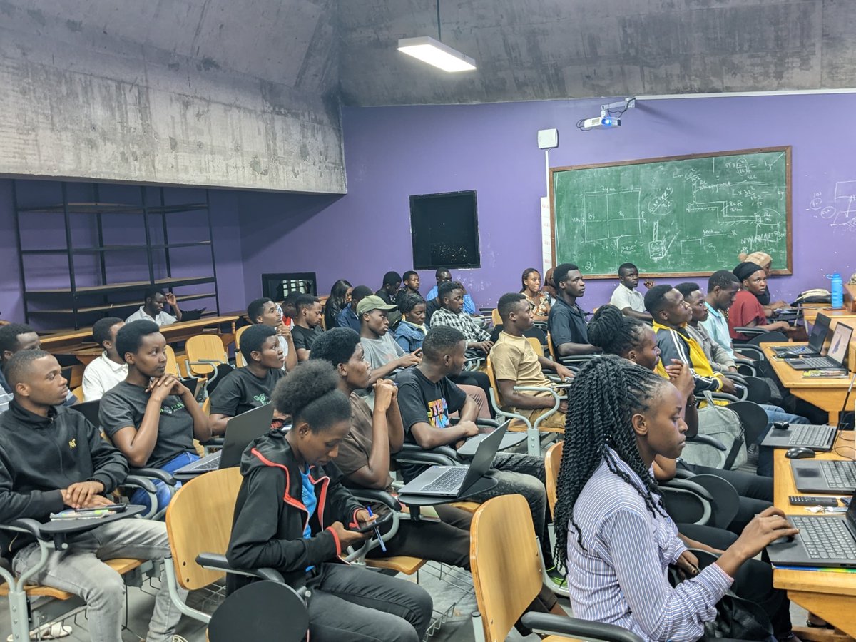
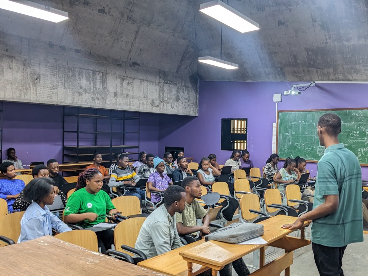
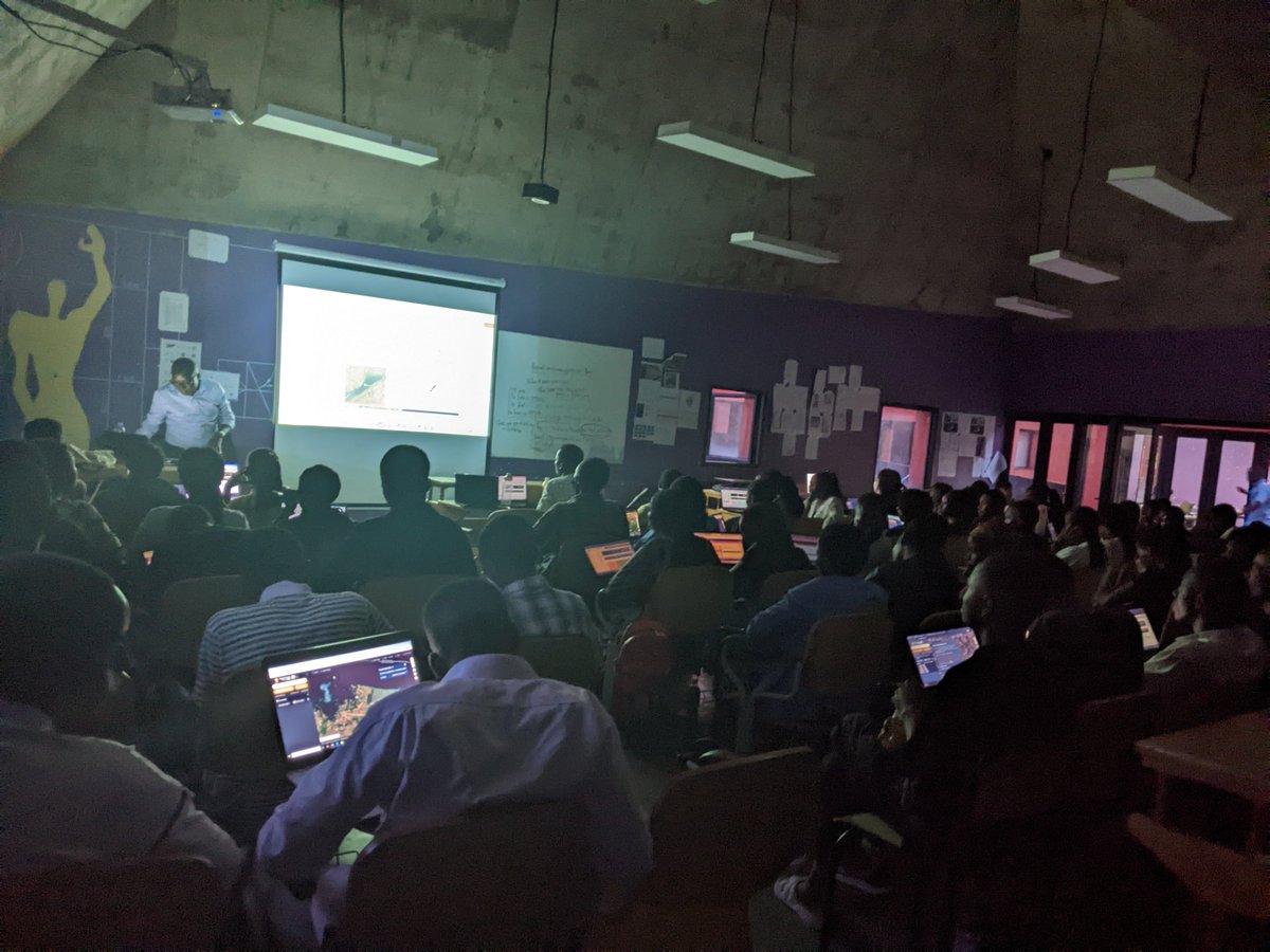
Today GEOSAR Association has managed to organize GEOSAR training session resume, where we covered #SlopeAnalysis as today's session.
We invites you all in upcoming session on next Tuesday.
#ArcGIS#MappingIntelligent#ArcPY
I watched HE’s closing speech at the Leadership Retreat and I also followed our reactions in WhatsApp groups and on social media.
It feels like many of us are avoiding the most obvious and important part of his message. The concern about accountability is not only about GoR officials. It shows up in our homes and in our workplaces and in government of course.
Maybe each of us needs a personal « Mwiherero ». The kind where we ask ourselves honest and sometimes uncomfortable questions.
Think about your « to do list » from last month. How far did you go with it? Nanjye harimo ibyo nibagiwe, hari n’ibyo nirengagije gutunganya. Twisubireho!🙃🙊
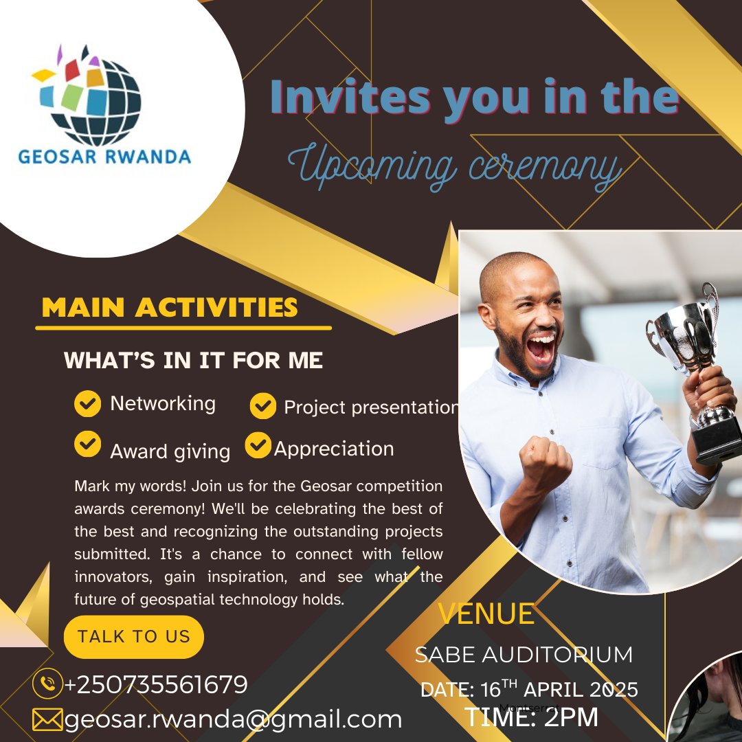
Join us tomorrow at 2:00 PM for the Geosar Awards Ceremony! 🏆 We'll be celebrating groundbreaking geospatial projects at the University of Rwanda - CST in the SABE Auditorium. Don't miss this chance to witness innovation & connect with the future of GIS.
#GIS#storytelling
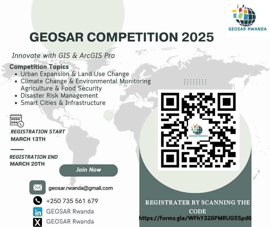
🌍✨ GEOSAR Competition 2024-2025 is here! ✨
Showcase your GIS & ArcGIS Pro skills in Urban Planning, Climate Change, Agriculture, & more! 🚀
✅ Hands-on GIS experience
✅ Network with experts
✅ Get recognized at the National Exhibition
🗓 Register NOW! 👇👇
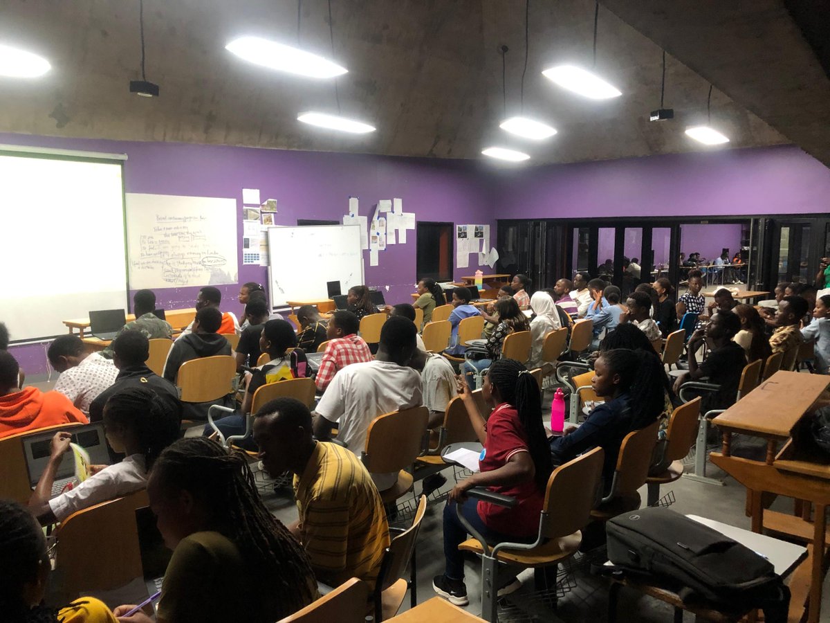
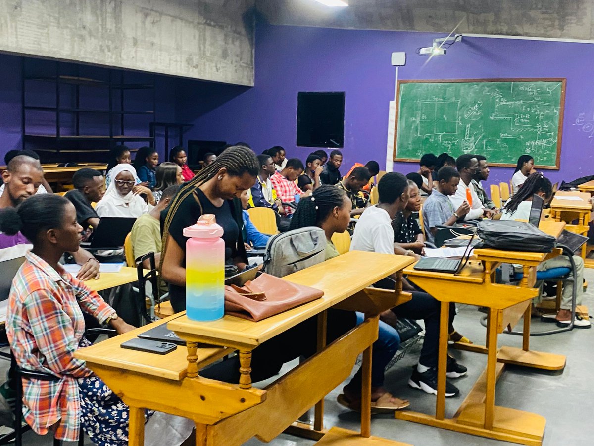
We learned a lot about how GIS is playing a great role in shaping sustainable cities and driving development!
A big thank you to all who attended and contributed to the discussion!
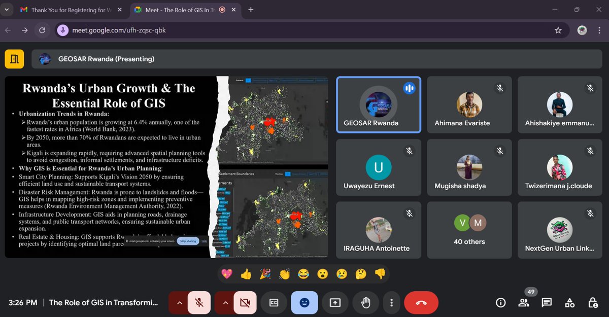
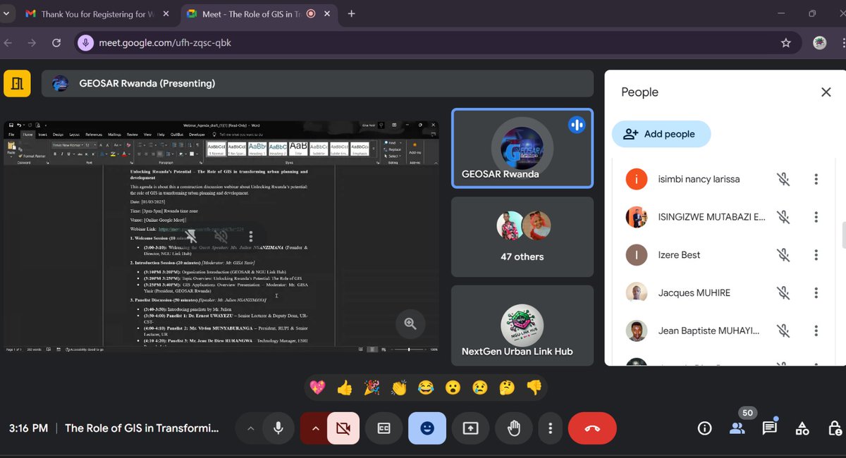
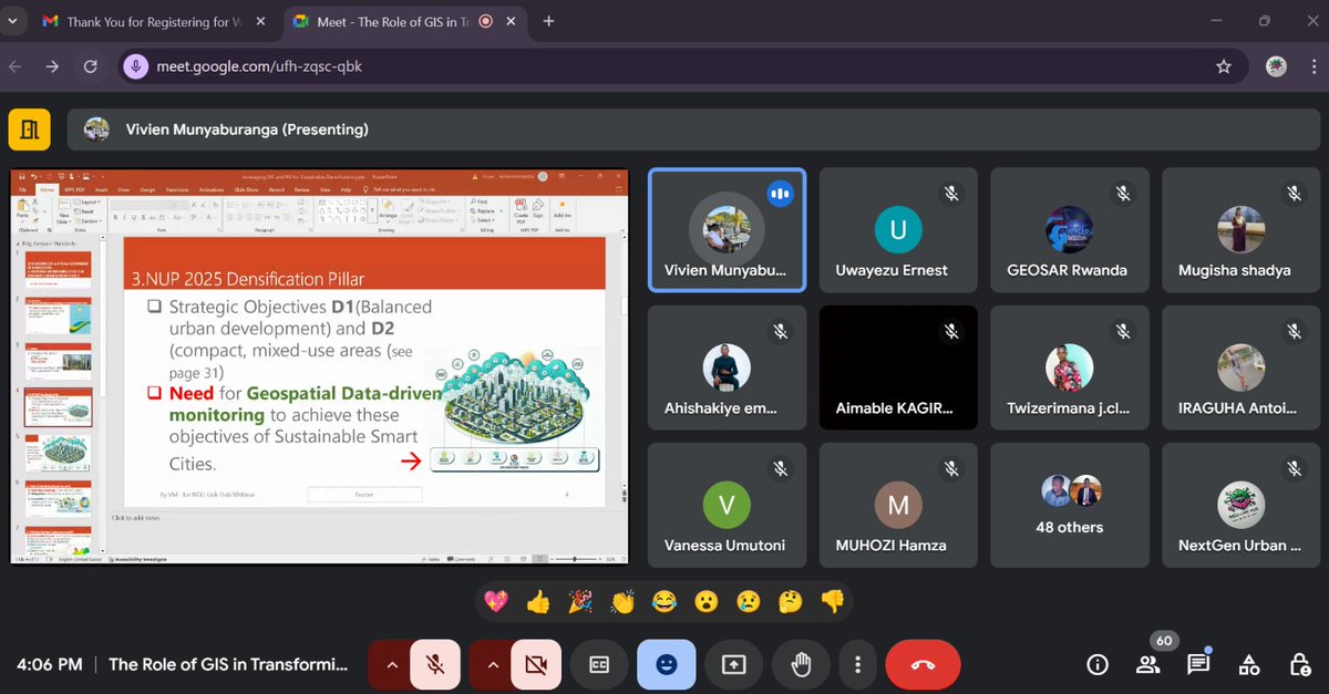
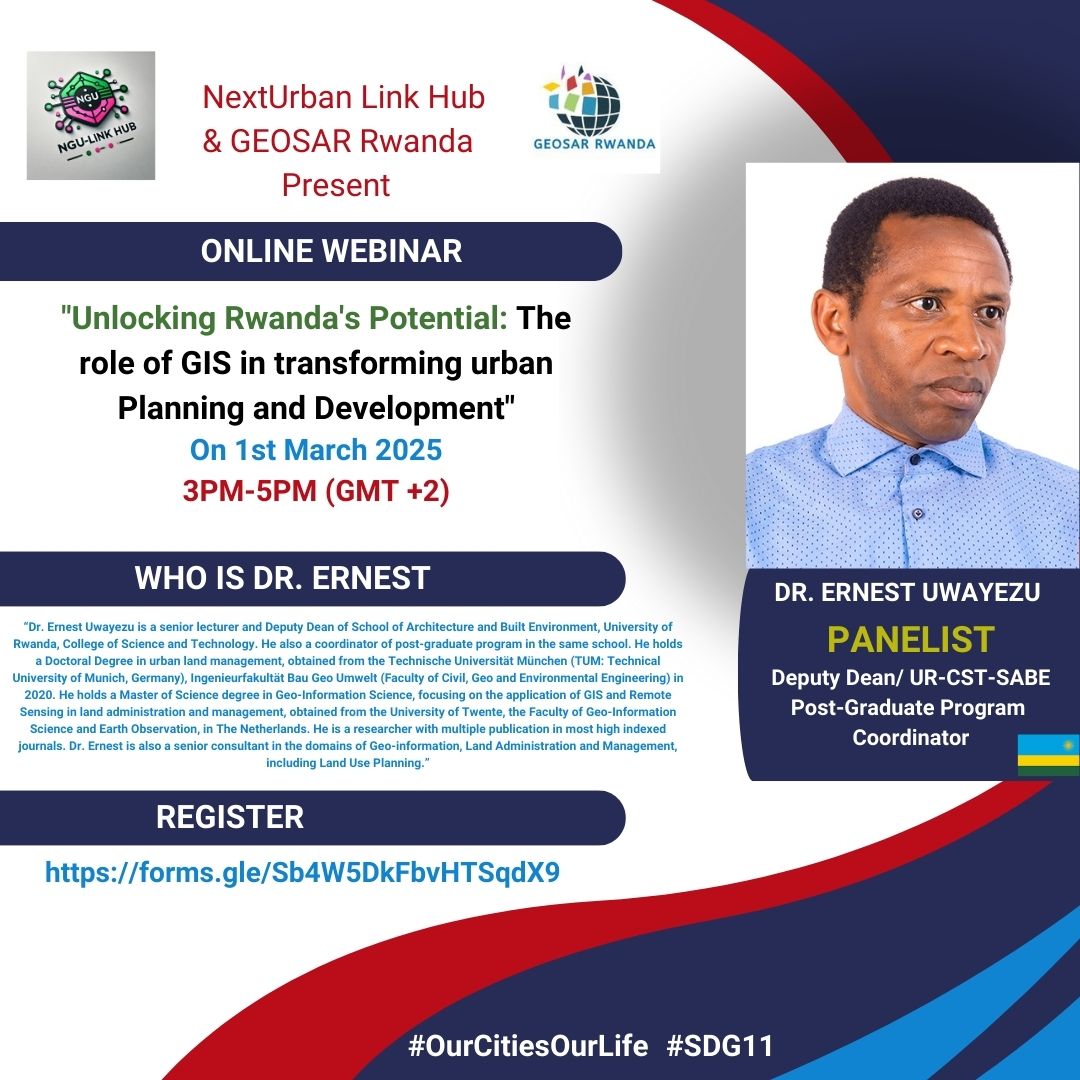
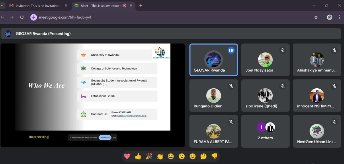
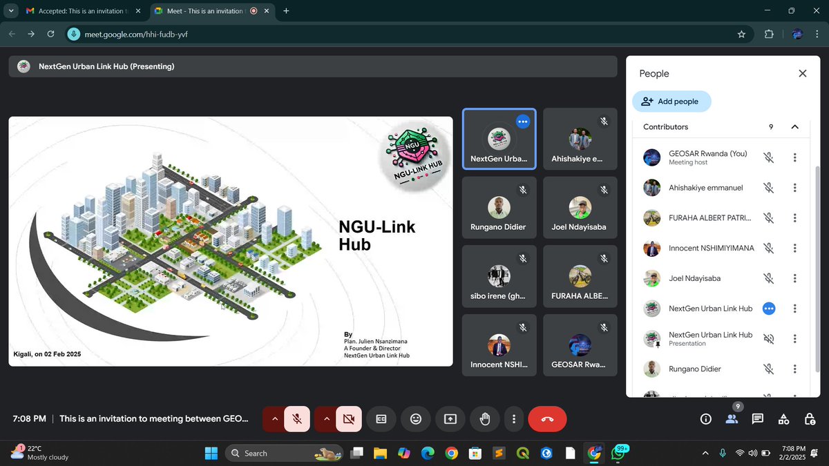
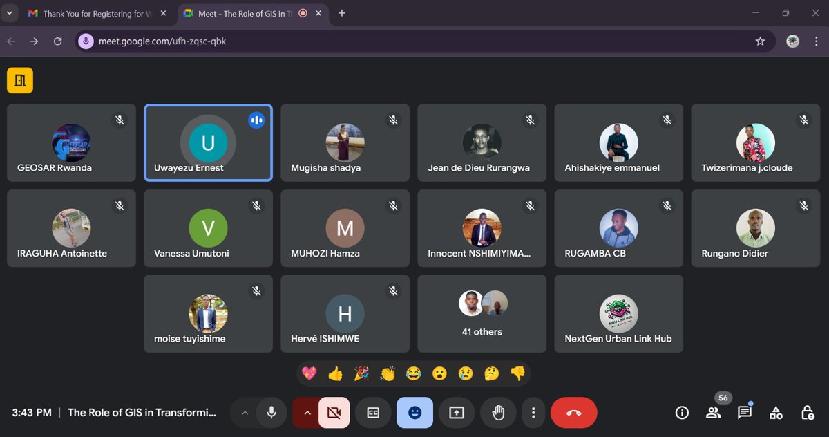
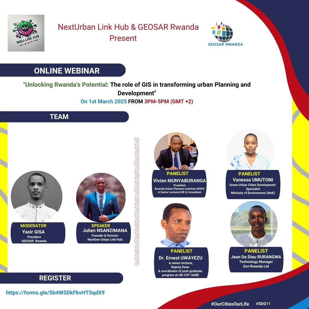
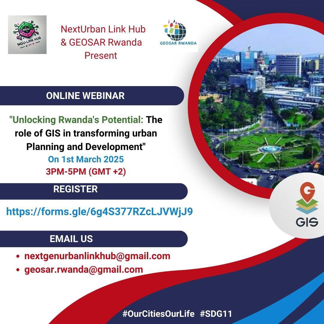
Yesterday, we had the honor of our GEOSAR President, GISA Yasir, moderating the insightful webinar "Unlocking Rwanda's Potential: The Role of GIS in Urban Planning & Development" with @NGULinkHub it was a success!!
#GIS#LearningJourney
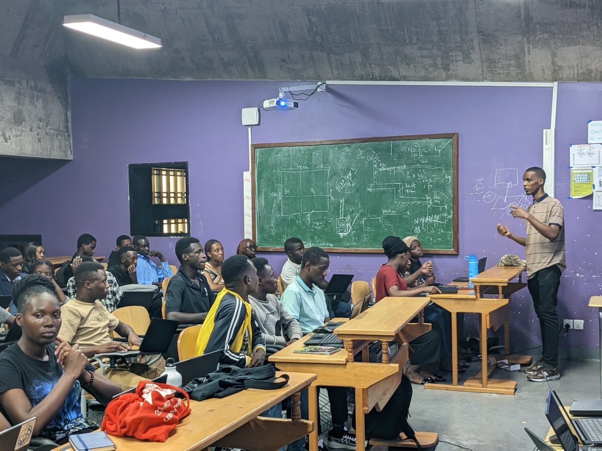
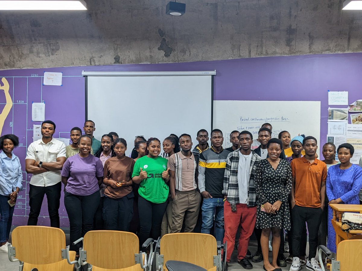
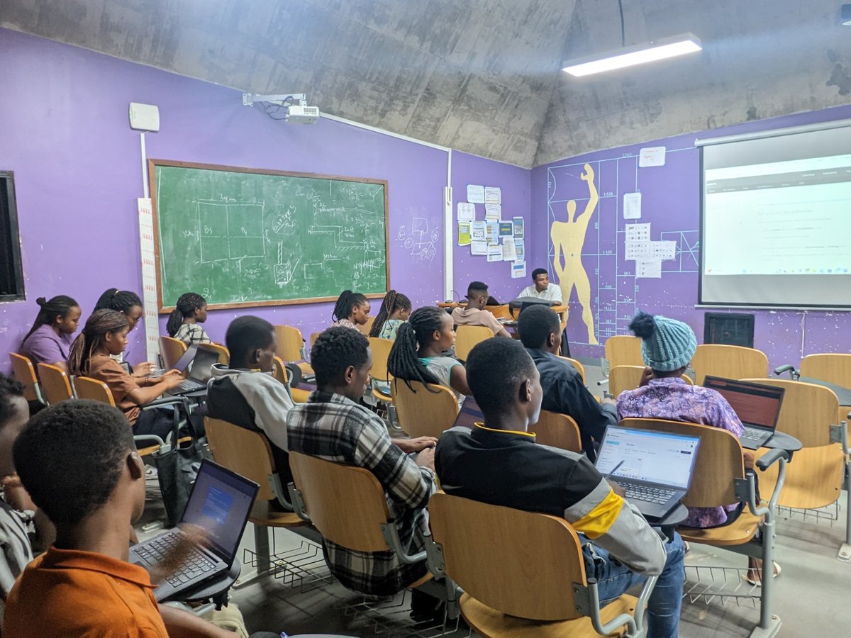
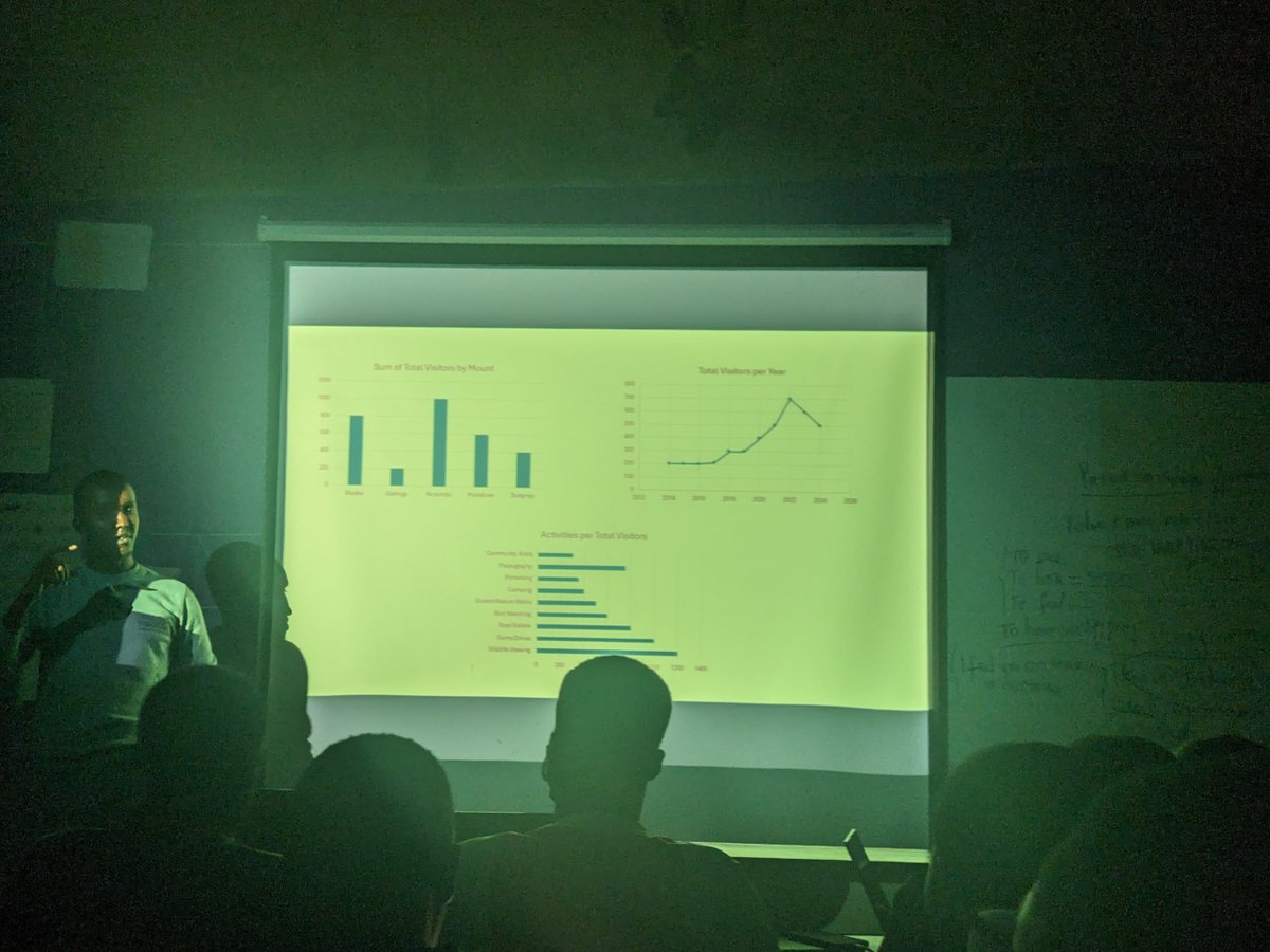
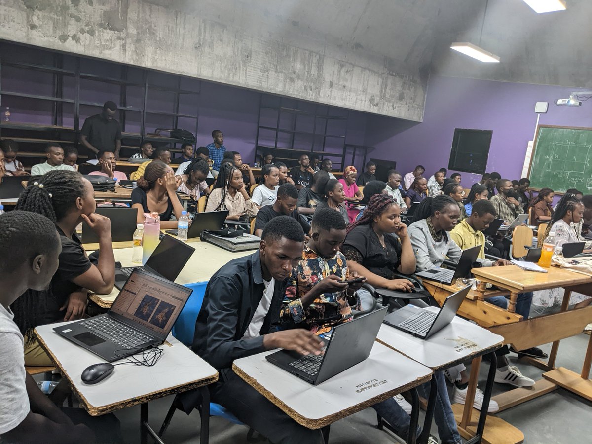
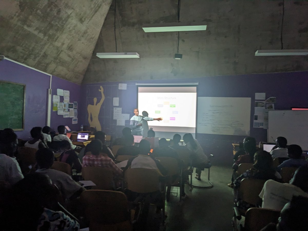
Today, Geosar hosted another insightful session! The theme was Advanced ArcGIS StoryMap, brilliantly delivered by none other than our former Geosar President, Emmanuel Mutabazi. Thanks to everyone who joined us for this deep dive into geospatial storytelling!
#LearningJourney
We are excited to introduce the esteemed panelists, speakers, and moderator for our upcoming webinar, "Unlocking Rwanda’s Potential: The Role of GIS in Transforming Urban Planning and Development" taking place on 1st March 2025. Register: https://t.co/OrPoL63T6M
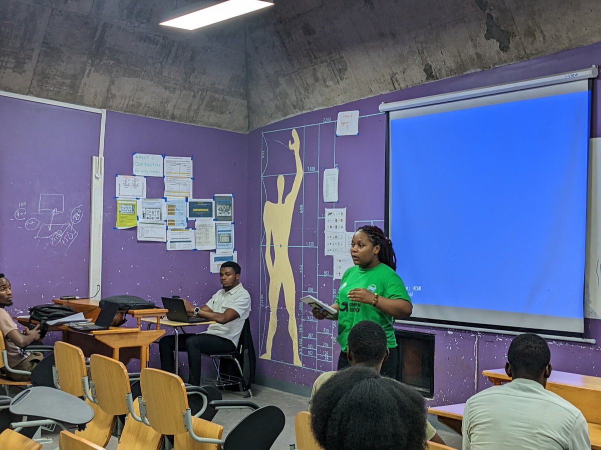
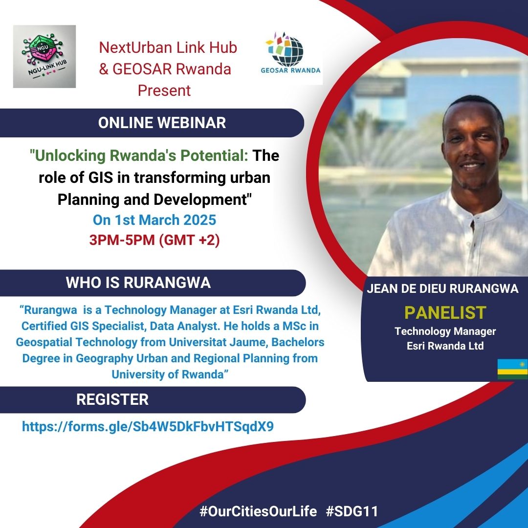
Today, GEOSAR had the pleasure of hosting an inspiring session on "Telling Stories with Maps: A Guide to ArcGIS Storytelling" . A huge thank you to our brilliant alumnus, @de_rurangwa, Esri Rwanda's Technology Manager, for delivering an engaging and insightful presentation.
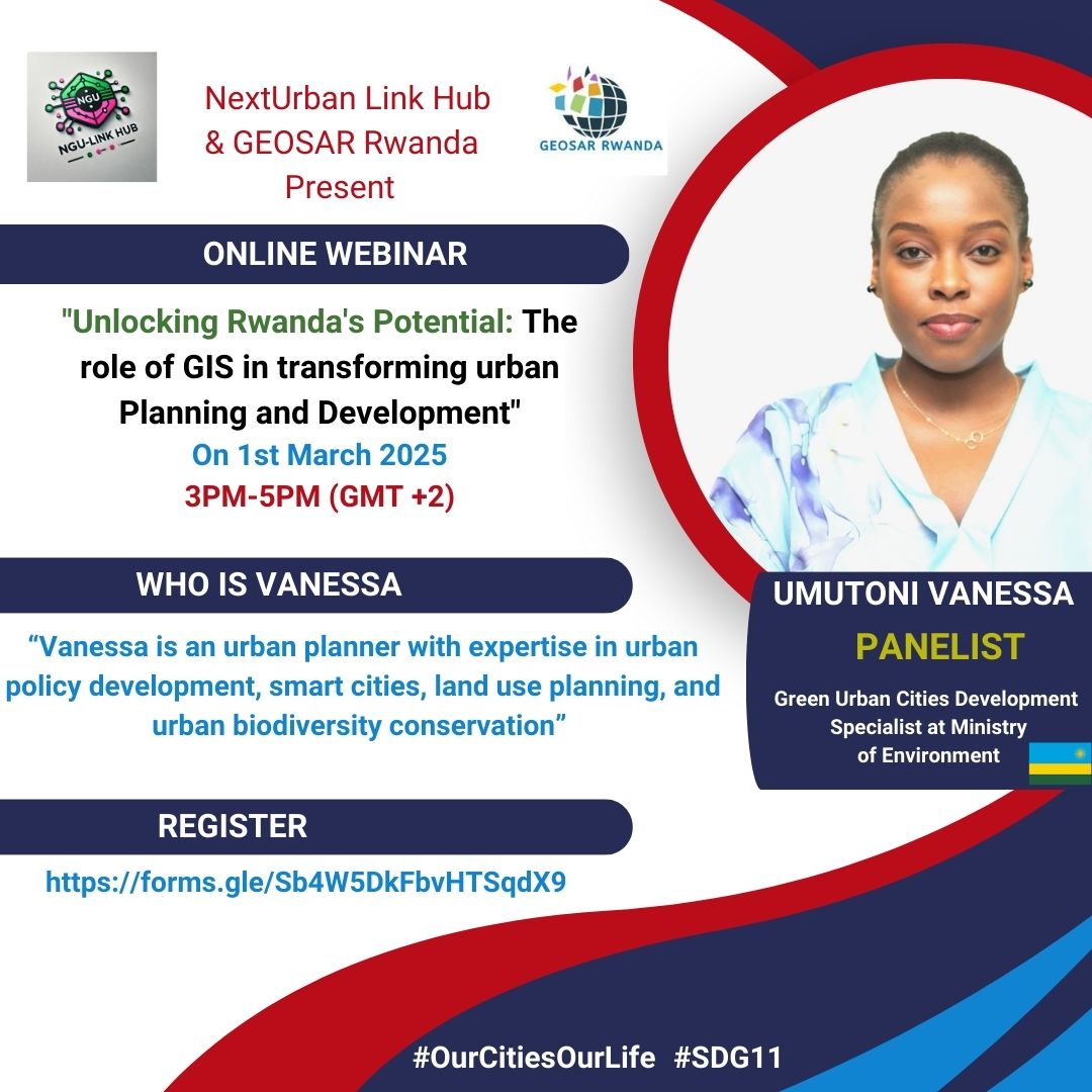
We are honored to introduce our upcoming webinar panelist #Vanessa Umutoni, entitled “Unlocking Rwanda’s Potential: The Role of GIS in Transforming Urban Planning and Development.” organized by @NGULinkHub and @GeosarR . Register: https://t.co/7lUAoT9jGC
Together with @GeosarR, we are honored to introduce our fourth panelist #Dr. Ernest, He is a senior lecturer and Deputy Dean of SABE/UR-CST. He also a coordinator of post-graduate program. Register: https://t.co/Y4LuhQh3M6
We are honored to introduce our third panelist @de_rurangwa to our upcoming webinar.
Rurangwa is a Technology Manager at Esri Rwanda Ltd, Certified GIS Specialist, Data Analyst. Former President of @GeosarR
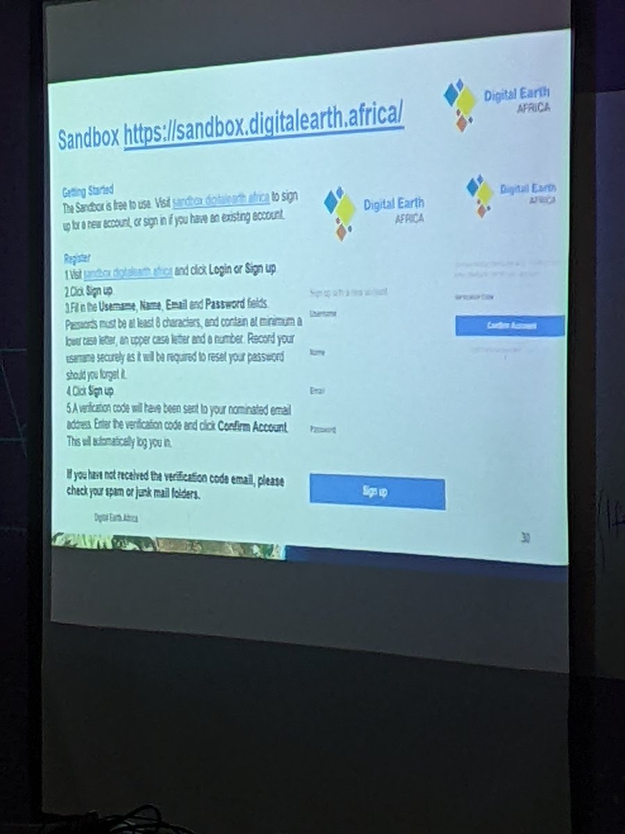
Last Thursday, GEOSAR had an insightful session on Digital Earth Africa for environmental & urban monitoring! Thanks to @JosephTUYISHIMI , DE Africa User Engagement Manager, for sharing his expertise. Let’s keep leveraging Earth observation for smarter planning! #DEAfrica
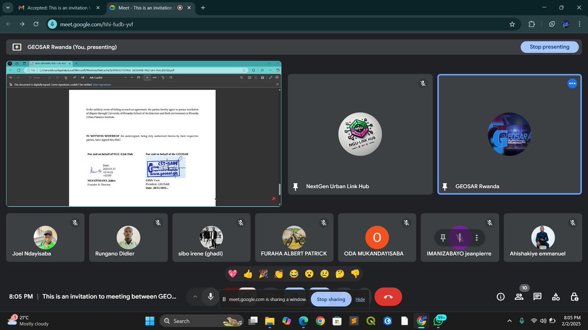
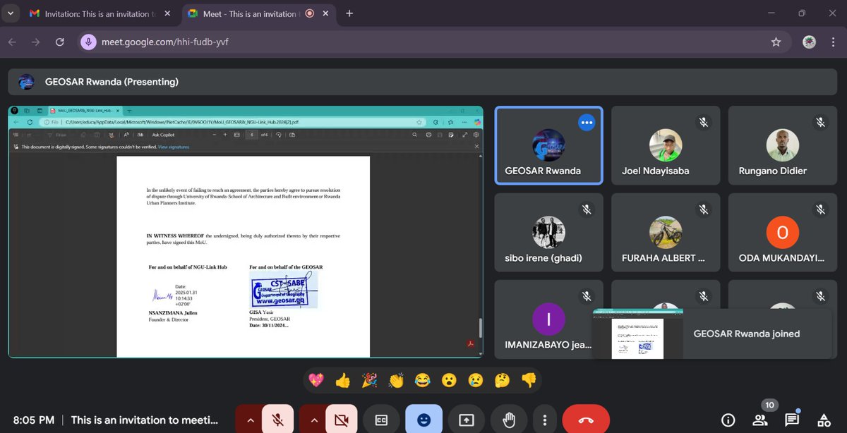
Big News!
Yesterday, GEOSAR Rwanda and @NGULinkHub signed an MoU to collaborate on sustainable urban development and geospatial innovation!
Together, we’re empowering students and young professionals to tackle urban challenges through knowledge sharing, research, and training.