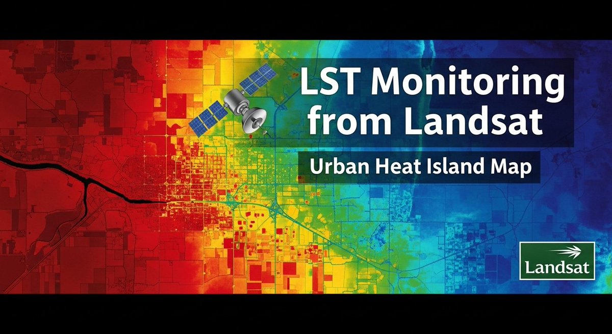
Climate Data Analysis using Google Earth Engine & Python | Remote Sensing Tutorial.
Tutorial link: https://t.co/VuJdLaOpmF
Registration link:
https://t.co/i4EFoxX5HU
#googleearthengine#gee#ClimateActionNow
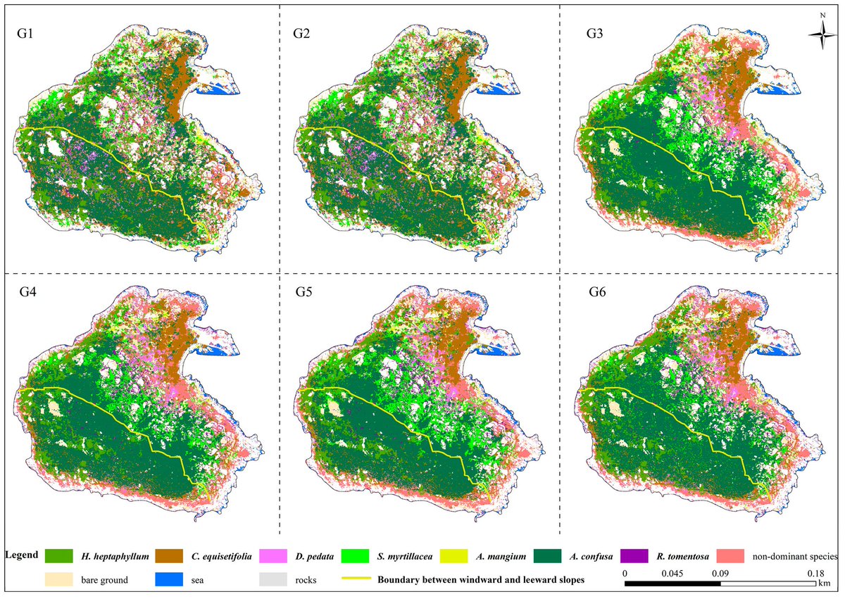
👋👋 #Identification of Dominant #Species and Their Distributions on an Uninhabited Island Based on Unmanned Aerial Vehicles (#UAVs) and #MachineLearning Models
✍️ Jinfeng Wu et al.
🔗 https://t.co/g4k9qNWWlY
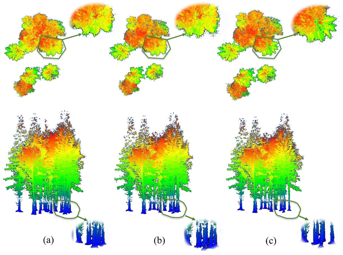
Generating True Digital Orthophoto Maps (#TDOMs) has been a challenge, especially with complex #terrains. Here's a breakthrough!The Ortho-NeRF approach uses Neural Radiance Field to create TDOMs without prior 3D #geometry info, outperforming!#UAV
☞:
https://t.co/wdCzl933yV
“Since 2002, 75% of the population lives in 101 countries that have been losing freshwater water. Furthermore, the continents now contribute more freshwater to sea level rise than the ice sheets, and drying regions now contribute more than land glaciers and ice caps. Urgent action is required to prepare for the major impacts of results presented.”
🌋 Towering at 2,830m, Pico do Fogo dominates the Cape Verde island of Fogo 🇨🇻 - an active volcano last erupting in 2014.
🛰️ Captured by #Copernicus#Sentinel2 on 24 Feb, this #ImageOfTheDay reveals the island’s striking topography.