Becky supports the ILE staff and students on Saturdays at St Joseph’s HS Mandarin program. She is knowledgeable, caring and brings a positive attitude to everything she does. We are fortunate to have her working I. This school community.
https://t.co/qvzdE49qei
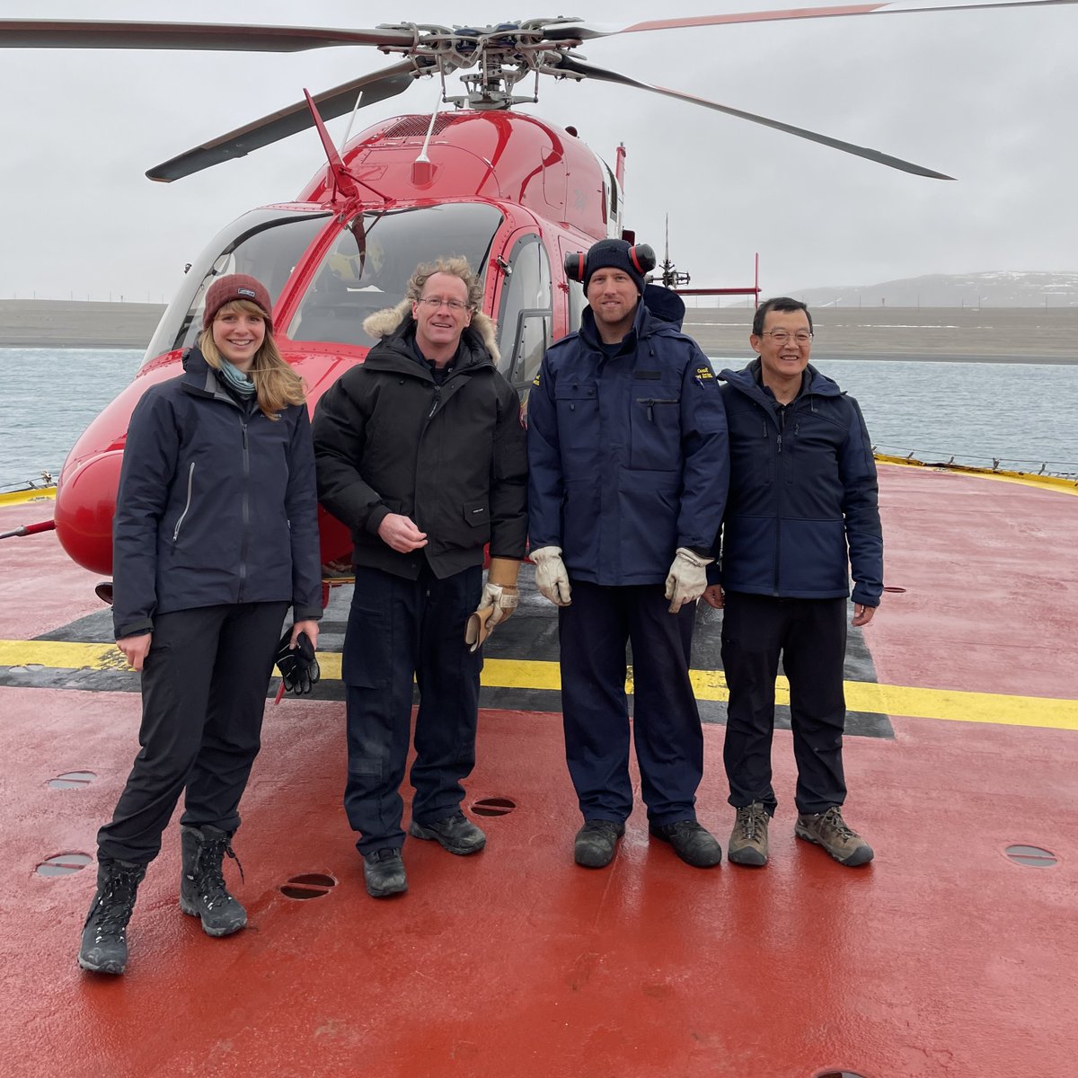
The past summer we flew over Coronation Gulf and Lancaster Sound with helicopter. We are doing Arctic shoreline mapping by collecting videos and photographs and ground visits first, and classifying satellite imagery in the following years.
Last summer, one of the #OceansProtectionPlan teams mapped shorelines in the #Arctic ❄️ to prioritize the areas to be cleaned up in the event of an oil spill. Learn more: https://t.co/2jPllDyBRs
📷 Andréanne Dupont and Valerie Wynja
#CdnSci#ArcticScienceMonth
We just published a new paper on satellite monitoring Great Lakes wetland water level in Remote Sensing of Environment journal. Check it out!
The title: Characterizing marsh wetlands in the Great Lakes Basin with C-band InSAR observations.
The link: https://t.co/7WtpjNslqF
@behnamian@HrynykMorgan Great job guys! Field work is always fun, full of surprises and excitement with our dedicated geomatics team at ECCC. One thing we noticed is that invasive Phragmites are still spreading in wetland and growing back in some of the treated areas.
#Laval, QC; #StJohns, NL; and #Yokohama, Japan, are seen in these new images taken by 🇨🇦’s #RCMSatellites. They are the first multi-polarization high-res (3 m & 5 m) radar images from any 🇨🇦🛰️ . Learn more about the RCM: https://t.co/alpMYvhUwn