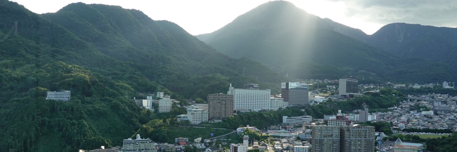
🌏 Following the 2016 Kumamoto earthquake, the ground kept slipping—up to 40 cm over six years. Iwasa et al. reveal why monitoring afterslip is crucial to safeguard rebuilt infrastructure.
🔗Read now: https://t.co/z4gjoi6qav
@Hello_geography
🧩 The activity history of secondary faults contributes to improving the precision of the main fault's activity history.
🔗 Read more: https://t.co/dyDD7Q5CQJ
@DaisukeIshimura
@shnizaii Thank you for your reply.
Two things to check:
CRS: The plugin requires a Projected CRS (like UTM) in meters. SRTM is usually in Lat/Lon (WGS84). Please reproject it first.
Radius: For a 30m DEM, set "Search radius (pix)" to 5. The default 150 is too large and causes crashes!
@shnizaii Thank you for your comment. Please let me know what DEM you used and what steps you followed when attempting to create anaglyph or MPI images? The coordinate system may be a factor.
Please also refer to this guide (https://t.co/5yRhF8O2Wx) for usage instructions.