Be cool if you could support us here. We currently have all EU direct sales suspended.
Stop destroying EU micro-businesses: Immediate moratorium on cross-border EPR fees - Sign the Petition! https://t.co/5xqoSoRhSD via @UKChange
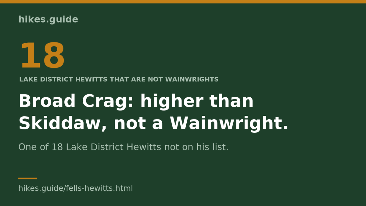
Broad Crag: higher than Skiddaw, not a Wainwright.
Broad Crag (935 m) is higher than Skiddaw (930 m) and isn't a Wainwright. It is one of 18 Lake District Hewitts that are not. Ticking the 214 does not tick them:
https://t.co/mxog6I27SY
#hewitts
Get off the train and walk up a fell. No car, no car park: both of these start on the platform.
🚆 Grange-over-Sands to Hampsfell
🚆 Black Combe from Silecroft station
https://t.co/CZKFkAvvK3
Both are planned routes: graded from the map and the ground data, not yet walked.
It was 0 °C at the start, and my phone battery died in the cold on the way up Red Pike. Carry a battery pack.
The Buttermere Ridge Anti-Clockwise: 12.62 km, 943 m up, over Red Pike, High Stile and High Crag. Route, GPX and parking: https://t.co/Zf4251g2yO
Ten new Lake District walks on https://t.co/Wj9FcXzdP3, each graded on five axes and marked walked, walked in part or not yet. Four of them here; all ten, with the GPX and parking:
#lakedistrict#hiking
https://t.co/mPnedykZ67
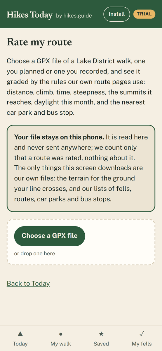
Someone's sent you a GPX file for a walk. How steep is it, really?
Rate my route, in our Hikes Today app, grades the file by the same rules as our route pages: distance, climb, time, steepness, the summits it reaches, daylight this month ... https://t.co/4mlfWwp1BC
Dale Head, Hindscarth & Robinson
The most technical part of this walk is on the way down: a steep rock step just below Robinson's summit.
Walked July 2026. The line is the route; the numbers are where it bites.
Every warning, the GPX & the parking: link in bio.
#lakedistrict
The Grasmoor Round, walked 22 August 2026. The line is the route; the numbers are where it bites.
Every warning, the GPX and the parking: link in bio.
#lakedistrict#fellwalking#wainwrights
https://t.co/9y8HR7yKUz
Before you walk #Blencathra the easier way: where to park if Threlkeld is full, the last bus back, and when to start in October.
#lakedistrict#hikesguide#hiking
https://t.co/qEgWpAehED
Testing something new:
Hikes Today. Say where you're starting and how long you want to walk, and it picks three Lake District walks from our 189, says why each fits, and keeps one on your phone for no signal.
https://t.co/KG55nQVGWp
#LakeDistrict#Hiking#AppDevelopment
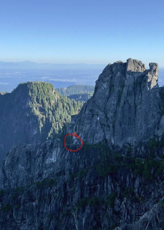
JUST IN: 16-year-old has to be rescued from British Columbia’s “Widowmaker” mountain after reportedly letting Claude map out the hike, leading him off trail.
Testing something new: Hikes Today. Say where you're starting and how long you want to walk, and it picks three Lake District walks from our 189, says why each fits, and keeps one on your phone for no signal. Looking for 15 to 20 testers this month: https://t.co/TJPctG3AZG
Full car park, no signal. RoutePark (in beta) shows where else to park for the walk you planned, keeps it on your phone for the morning, and on 98 of 161 walks says plainly there is no real plan B by car.
https://t.co/wEFxYsZDg9
#lakedistrict#parking
Twenty minutes up. The view does not care how little you paid for it.
Although this Wainwright is diminutive in stature and far from challenging (apart from the drive in from Pooley Bridge), the view from the summit is outstanding.
https://t.co/sfYQkhPA02
Wainwright: "the summit has no interesting features".
Clearly AW didn't summit on a day like this!!
It's essentially just a stopping point on the way up to St. Sunday Crag.
https://t.co/OhkgAIfzww
#LakeDistrict#Wainwrights#birks
The Westmorland and Furness Way, measured
The new 120-mile Westmorland and Furness Way opens 15 Sep. Not one of the 214 Wainwrights comes within 5 km of it — and the council's own GPX measures 122.8 mi, not 120.
https://t.co/oJp4QoaZVh
#LakeDistrict#Cumbria#Wainwrights