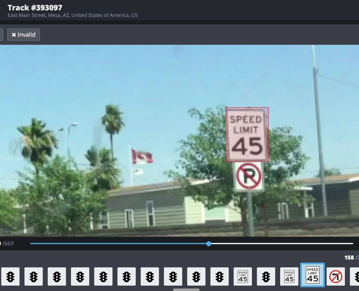
After a two-month competition, we collected enough @openstreetcam imagery to detect 80+ sign classes in Australia and New Zealand. Thanks all who contributed! https://t.co/jhX0mIC9g4
The new version of the OpenStreetCam JOSM plugin for @openstreetmap aggregates and correctly georeferences detected signs, to make mapping much easier. More on our blog: https://t.co/MChNqnTnPc
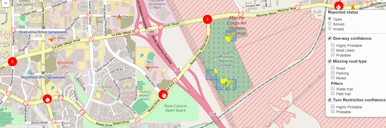
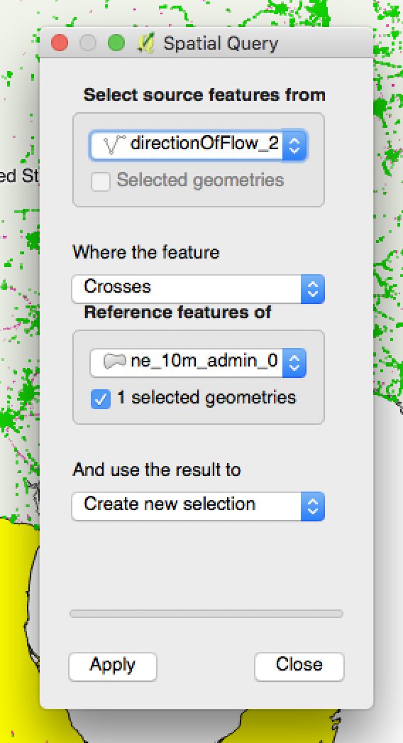
With our ImproveOSM JOSM plugin, you can now download the relevant way from OSM when you are looking at a missing one-way. Read about it on our blog: https://t.co/HdpxXtuwqV
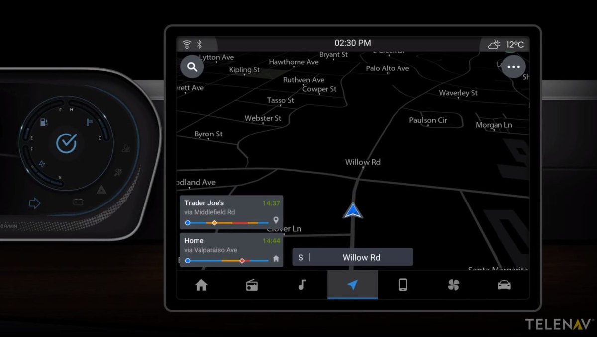
How can you have a chance to win $10,000 and participate in the world’s first open-source #MachineLearning technology for navigation? Click here to find out. #OpensourceMapmaking@ImproveOSM@Telenav https://t.co/qDanyZfUt2
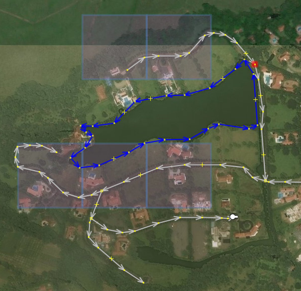
We added new features and enhancements to our #OpenStreetMap conflation tool, Cygnus. 🖖 https://t.co/uGd3q5hyGT Let me know what you are using Cygnus for!
Interested in conflating open data with @OpenStreetMap? You should look at @Telenav's Cygnus tool. New blog post on how to use: https://t.co/bBVACGJxSZ