Official Twitter feed for Informatics courses and GIS Research USW. Includes BSc Computing, ICT, Digital & Tech Solutions and Applied Computing (Top Up).
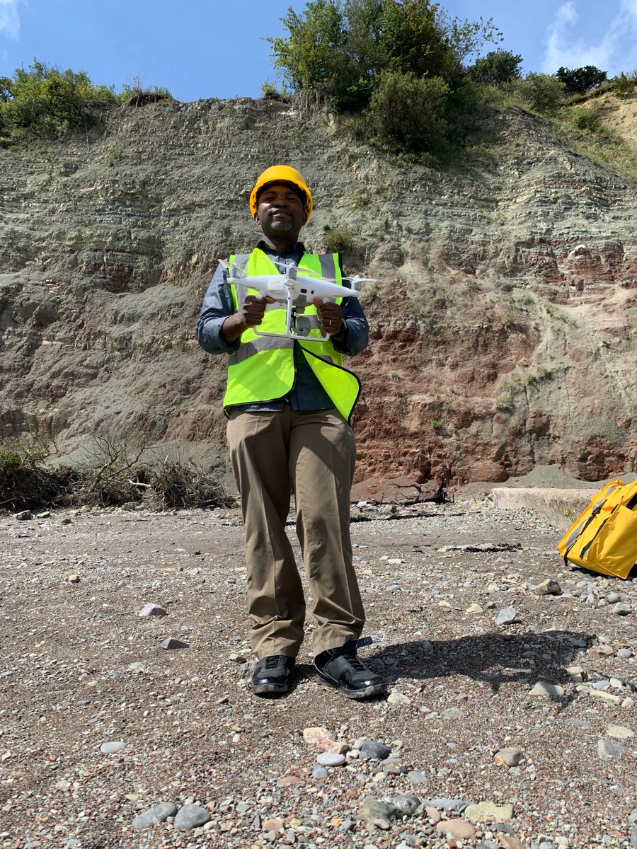
A beautiful day out and a successful drone survey down in Penarth, Cardiff in collaboration with the Vale of Glamorgan Council to monitor coastal erosion at Penarth Cliff-face.
Congratulations to our students from the faculty of Computing, Engineering & Science 🧪
📺 Premiere Video today at 12
✅ https://t.co/NjgPWwlo0y
📚 Sign the virtual yearbook
✅ https://t.co/BYJzTzziMU
🎉 Head over to our website
✅ https://t.co/BYJzTzziMU
#USWClassof2020
A fun day out collaborating with USW Sports Park @USWSport using drones and GIS Research to build a highly accurate and interactive virtual 3D model of the sports park facilities.
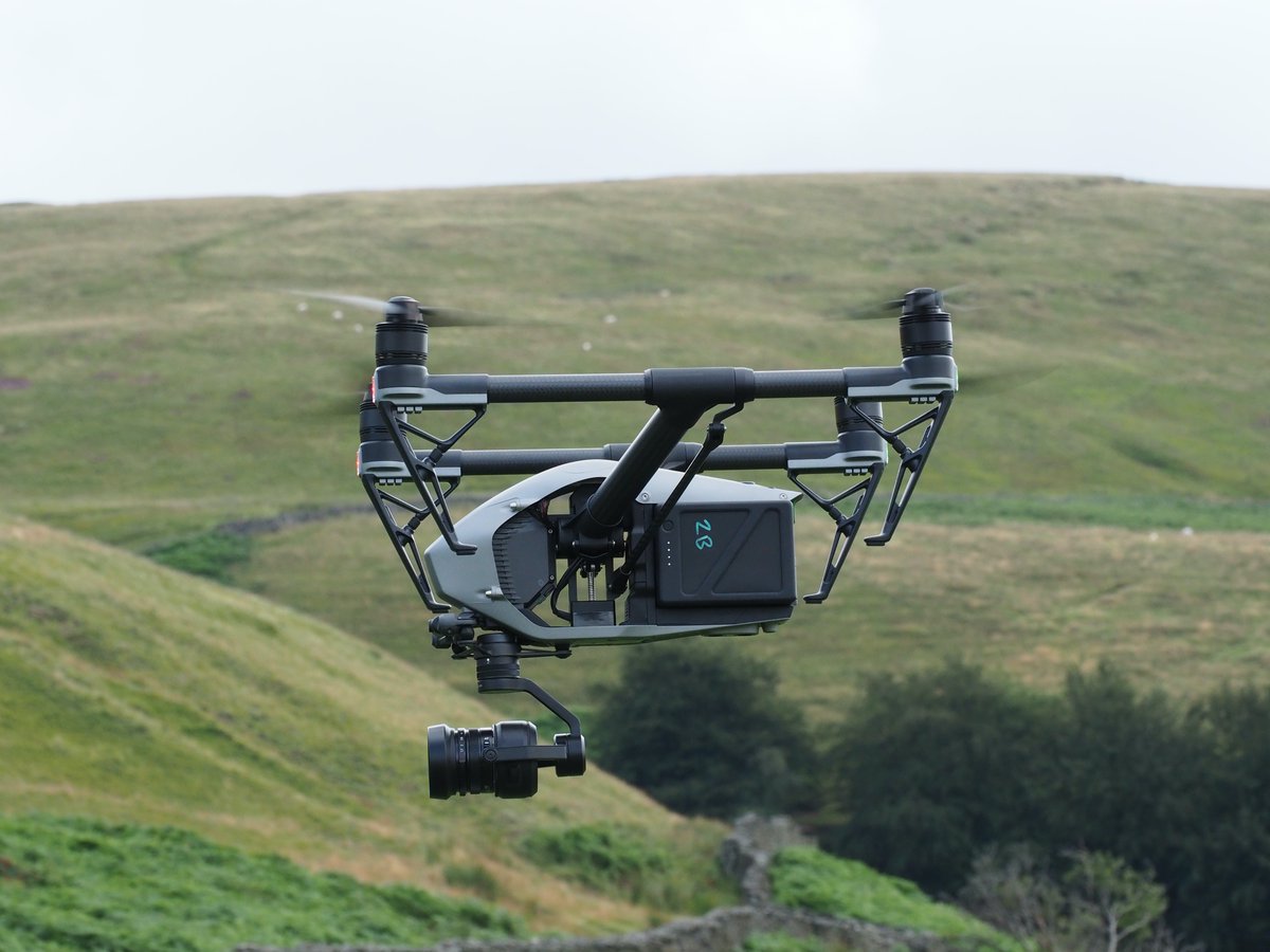
(1/2) First time linking up with @UniSouthWales GIS Drone Research team - Computing & Maths dept today, glorious weather. They are working with us to gather monitoring & evaluation data. Landowner & graziers permission sought. @WalesRuralNet @FarmingConnect#partnerships
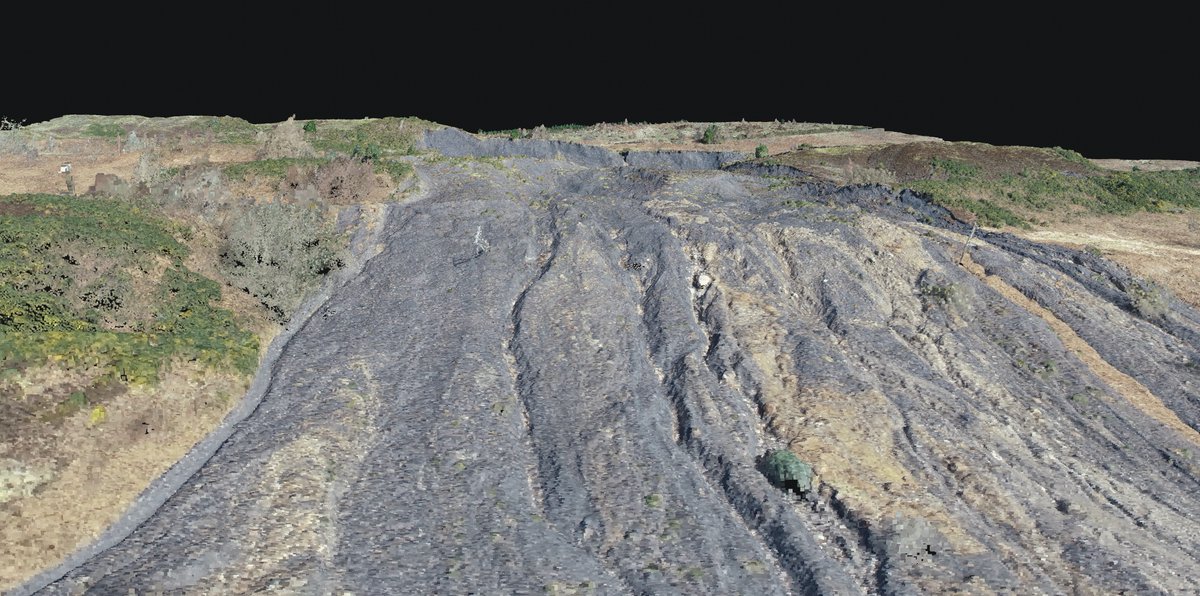
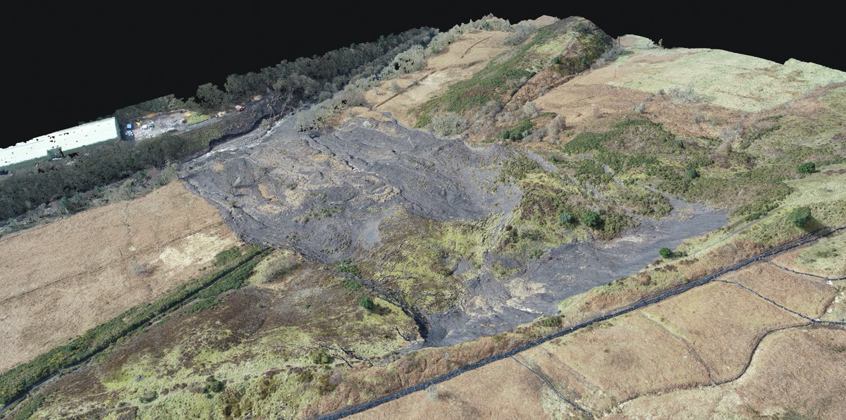
Landslide Drone Survey over Tylorstown with the GIS Drone Research Group in partnership with the RCT Council. The start of a new GIS project to help monitor the movement and change of material over time.