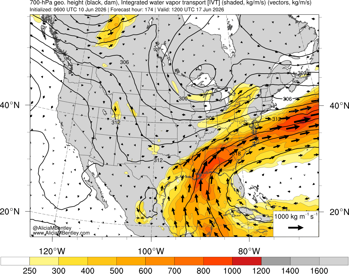
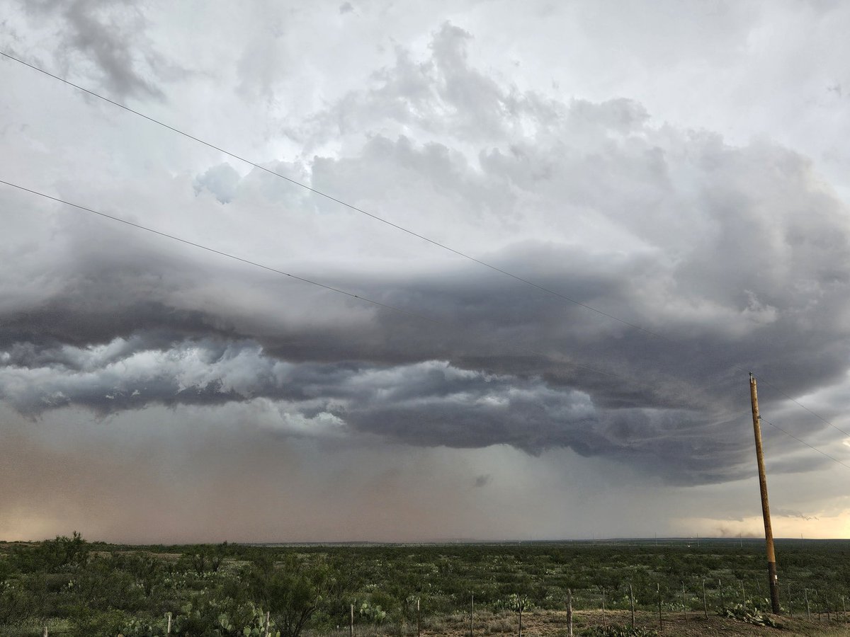
The spinning "blob" off the coast may look like a system that should have a name, but most of what you are seeing on satellite and radar is actually in the mid to upper levels of the atmosphere, not down at the surface.
#FSUStudentSpotlight 🌟 @FSU_EOAS doctoral student Jacob Hair studies how the Gulf Stream impacts small-scale weather fronts within bomb cyclones. To learn more about his work at @FloridaState, visit: https://t.co/2h3QiKLssi.
"Why doesn't it end? Why don't we just burn up?"
#S3E10
Hard not to think of The Twilight Zone's "The Midnight Sun" when a heat wave hits. 🥵
Stay cool, everyone — and remember, don't paint the sun!
There's been many names for this strong high pressure over the eastern USA, but the one that comes to mind is the "Ring of Fire". Notice all of the convection swirling around the periphery of the large-scale circulation!
Finally getting a drought relief in Tallahassee. Picture on the left is from April when we were in an exceptional drought. 2 months later, the water is starting to come back! #FLwx
A few interesting things I noticed today. 1) How #Arthur is providing the Midwest MCS with an enhanced moisture supply. 2) The interesting ripple in the clouds that extend out to the east from the MCS.
For the first time since May 2018… we have seen a tornado!!! Shoutout to @Mulhern_Wx for his excellent leadership during this chase. Cairo, NE tornado May 17th, 5:00 PM CDT